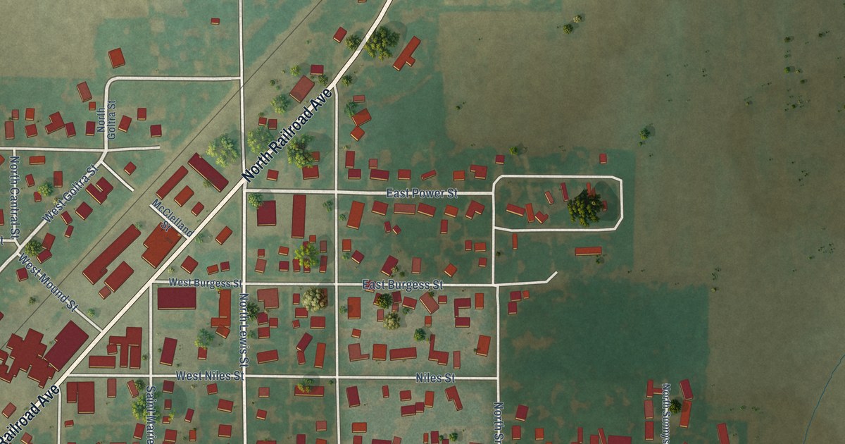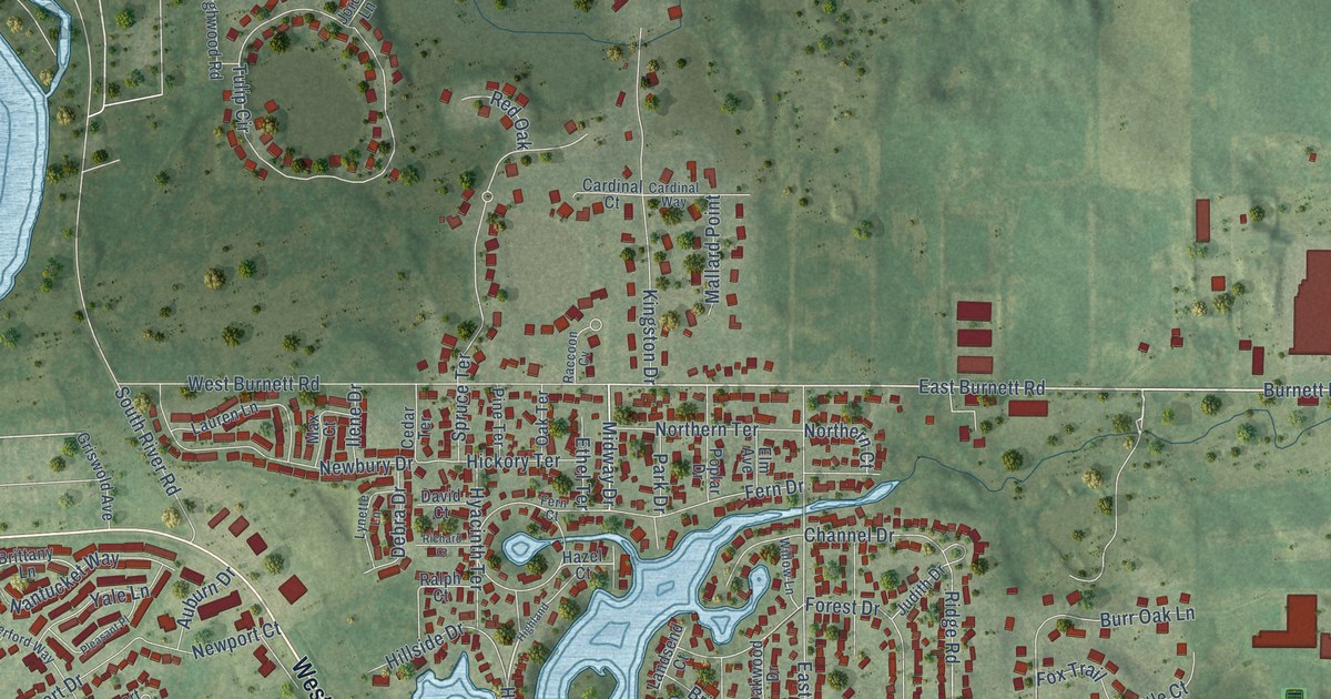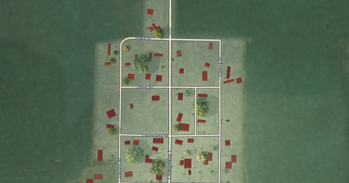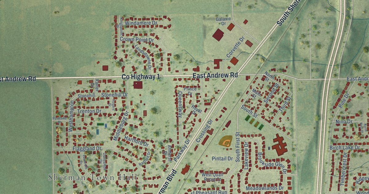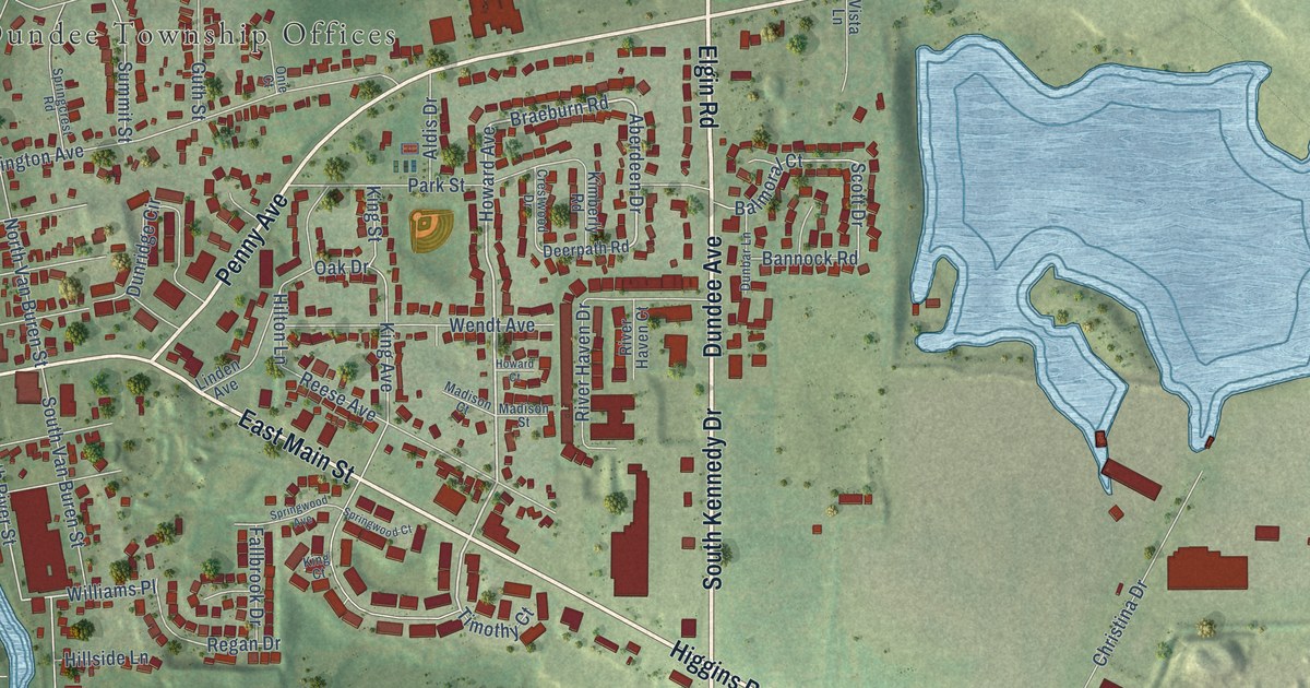
This beautifully detailed map of East Dundee, Illinois was created in 2026 using aerial imagery combined with modern topographical, census, street and landmark data. It’s a one-of-a-kind view of East Dundee that combines accurate data with a vintage aesthetic. The map shows every building in its true location, many of the roads carry their names, and the shaded topographic relief shows the shape of the land.
Explore an aerial view of East Dundee, Illinois
On the map you’ll find Dundee Township Offices, along with South Kennedy Drive, East Main Street, Higgins Road, Dundee Avenue, Elgin Road, Kennedy Drive, Penny Avenue, Commonwealth Drive, Power Drive, Aberdeen Drive, Howard Avenue, and more. If you look closely you can even find your house accurately drawn in its correct location. Zoom in on the preview to look for yours.
Did you know this piece of East Dundee, Illinois history?
From the Kiln East Dundee Local History: "East Dundee sits in the Fox Valley, a landscape shaped by glaciers and the Fox River. First settled in 1834, the town was named Dundee in 1835 by Scottish immigrant Alexander Gardiner."
Take a closer look at the East Dundee map
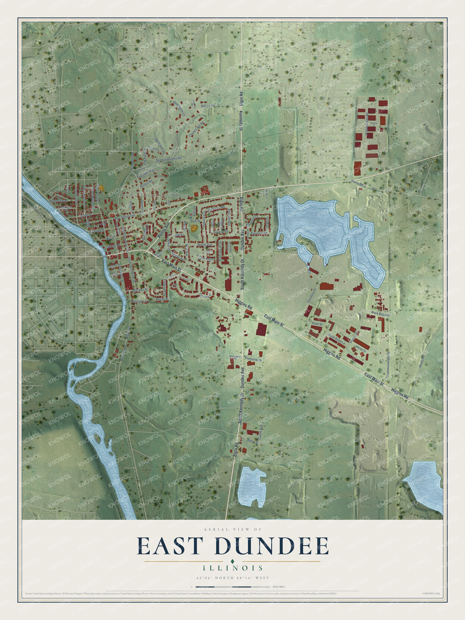
Street and place names on the East Dundee, Illinois map
These names are printed on the map of East Dundee, Illinois.
Places: Dundee Township Offices.
Streets and roads: South Kennedy Drive, East Main Street, Higgins Road, Dundee Avenue, Elgin Road, Kennedy Drive, Penny Avenue, Commonwealth Drive, Power Drive, Aberdeen Drive, Howard Avenue, Braeburn Road.
More street names, A to Z
Albert Drive, Aldis Drive, Ashland Avenue, Balmoral Court, Bannock Road, Barrington Avenue, Bonnie Dundee Road, Bramer Street, Castle Avenue, Christina Drive, Council Hill Road, Crabtree Road, Crestwood Drive, Deerpath Road, Dunbar Lane, Duncan Avenue, Dunridge Circle, East Edwards Avenue, East First Street, East Second Street, East Third Street, Elgin Avenue, Fallbrook Drive, Fourth Street, Greenwood Avenue, Guth Street, Hawthorne Lane, Healy Road, Heinz Drive, Hillside Lane, Hill Street, Hilton Lane, Howard Court, Jackson Street, Johnson Street, Kimberly Road, King Avenue, King Court, King Street, King William Street, Lake Shore Drive, Lincoln Avenue, Linden Avenue, Madison Court, Madison Street, Maiden Lane, Maxwelton Road, Michigan Avenue, North Street, North Van Buren Street, Oak Drive, Onie Court, Park Street, Penny Road, Piemonte Drive, Plate Drive, Prairie Lakes Road, Railroad Street, Ravine Road, Reese Avenue, Regan Drive, Richardson Road, River Haven Court, River Haven Drive, Rock Road Drive, Rock Road Lane, Roslyn Road, Scott Drive, Second Street, South River Street, South Van Buren Street, Springcrest Road, Springwood Avenue, Springwood Court, Summit Street, Third Street, Timothy Court, Vista Lane, Water Street, Wendt Avenue, Wenholz Avenue, Williams Place, Wilmette Avenue, Windsor Drive.
See the East Dundee, Illinois map on a wall
The East Dundee map as an 18 x 24 inch print in a black frame.

This beautifully detailed map of East Dundee makes an attractive addition to your office, library, or den, and it can even be used to teach children the geography and history of the area. It also makes a great gift for anyone with East Dundee roots. When you’re done exploring, click here to get your copy of the East Dundee map.