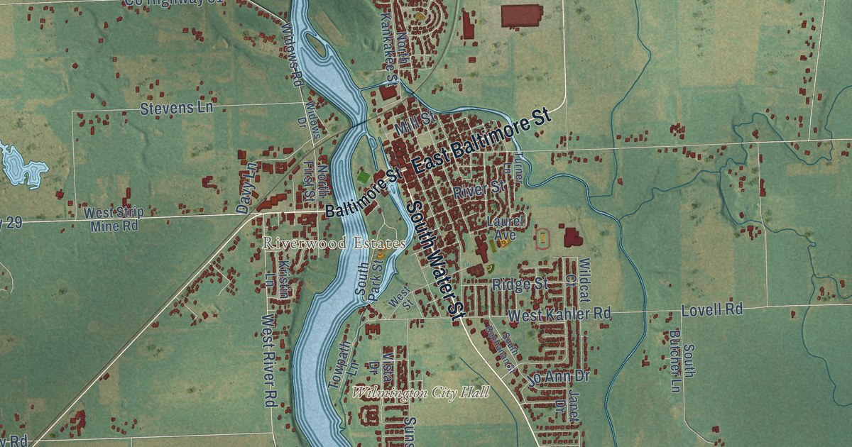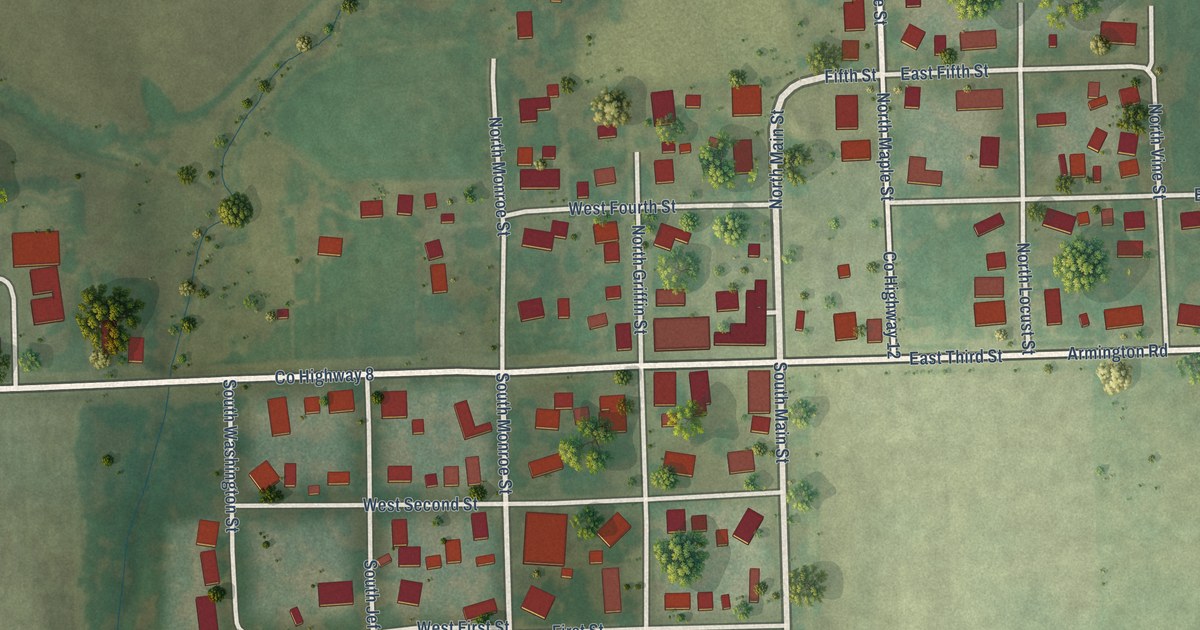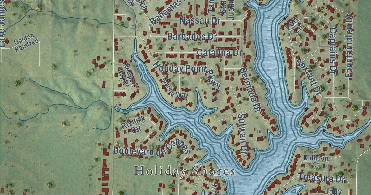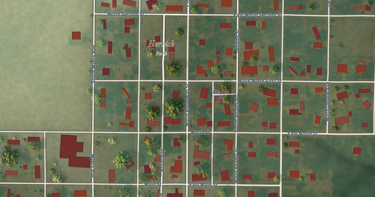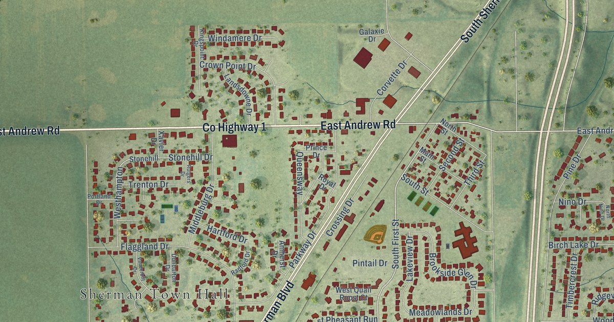
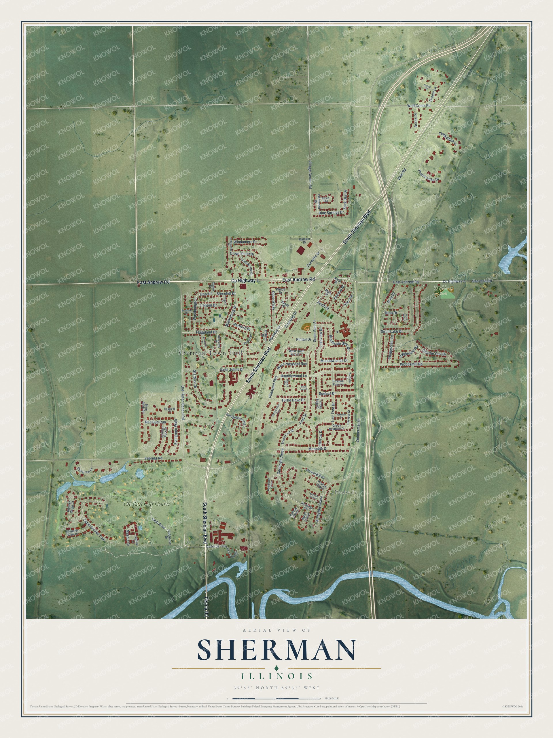
This beautifully detailed map of Sherman, Illinois was created in 2026 using aerial imagery combined with modern topographical, census, street and landmark data. It’s a one-of-a-kind view of Sherman that combines accurate data with a vintage aesthetic. The map shows every building in its true location, many of the roads carry their names, and the shaded topographic relief shows the shape of the land.
Explore an aerial view of Sherman, Illinois
On the map you’ll find Sherman Town Hall, Peabody, Waldrop Park, The Rail Golf Course, and Saratoga Chase, along with South Sherman Boulevard, East Andrew Road, County Highway 1, Peoria Road, First Street, South First Street, Meadowlands Drive, and more. If you look closely you can even find your house accurately drawn in its correct location. Zoom in on the preview to look for yours.
Did you know this piece of Sherman, Illinois history?
From the History of Sangamon County: "The extension of the Springfield & Alton, now the Chicago, Alton & St. Louis Railroad, from Springfield to Chicago, caused a number of villages to spring into existance, among the number being that of Sherman, so named in honor of Mr. Sherman, of Sangamon county."
Take a closer look at the Sherman map
Street and place names on the Sherman, Illinois map
These names are printed on the map of Sherman, Illinois.
Places: Sherman Town Hall, Peabody, Waldrop Park and The Rail Golf Course.
Streets and roads: South Sherman Boulevard, East Andrew Road, County Highway 1, Peoria Road, First Street, South First Street, Saratoga Chase, Meadowlands Drive, Old Tipton School Road, Zimmerman Drive, Meredith Drive, Pine Drive.
More street names, A to Z
Aintree Chase, Amherst Drive, Arlington Chase, Ascot Chase, Back Bay Drive, Bahr Road, Belmont Chase, Birch Lake Drive, Blue Springs Drive, Brittin Place, Brookside Glen Drive, Cabin Smoke Trail, Carter Lane, Carter Lane Extended, Charter Oak Drive, Chimney View Lane, Club Area, Clubhouse Drive, Corvette Drive, Crossing Drive, Crown Point Drive, Dogwood Court, Dunbarton Drive, Evergreen Walk, Flaggland Drive, Fleetwood Drive, Fountain Park Drive, Galaxie Drive, Georgetowne Road, Golf Crest Court, Gooseneck Trail, Gracie Lane, Green Meadow Drive, Hannah Drive, Harrow Drive, Hartford Drive, Harvest Court, Hawthorne Chase, Hickory Ridge Lane, Howard Avenue, Kingspoint Drive, Lakeview Drive, Landsdowne Drive, Lost Tree Drive, Main Street, Mallard Way, Mashie Court, Middleburg Drive, Niblick Lane, Nine Rock Road, Nino Drive, North Nino Drive, North Street, Parkview Drive, Parkway Drive, Pheasant Run, Pimlico Chase, Pintail Drive, Portland Drive, Possum Pass Court, Prairie Lake Drive, Prince Drive, Queensway, Radford Drive, Ramblewood Lane, Red Bud Run, Ridgeview Road, Royal Drive, Rutgers Drive, Saint Johns Drive, Saratoga Ch, Sebring Road, Second Street, Sherman Road, South Street, Stardust Drive, Stonehill, Stonehill Drive, Sunkist Drive, Third Street, Timbercrest Drive, Timber Edge Drive, Timberline Lane, Trenton Drive, Turtle Dove Drive, Vanderbilt Drive, Village Center Road, Westhampton, West Pheasant Run, West Quail Roost Court, Willow Bay, Windamere Drive, Wolf Creek Road, Wood Duck Court, Woodridge Drive, Woodsmill Road, Xavier Drive.
See the Sherman, Illinois map on a wall
The Sherman map as an 18 x 24 inch print in a black frame.

This beautifully detailed map of Sherman makes an attractive addition to your office, library, or den, and it can even be used to teach children the geography and history of the area. It also makes a great gift for anyone with Sherman roots. When you’re done exploring, click here to get your copy of the Sherman map.