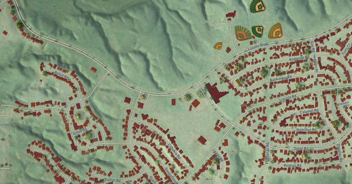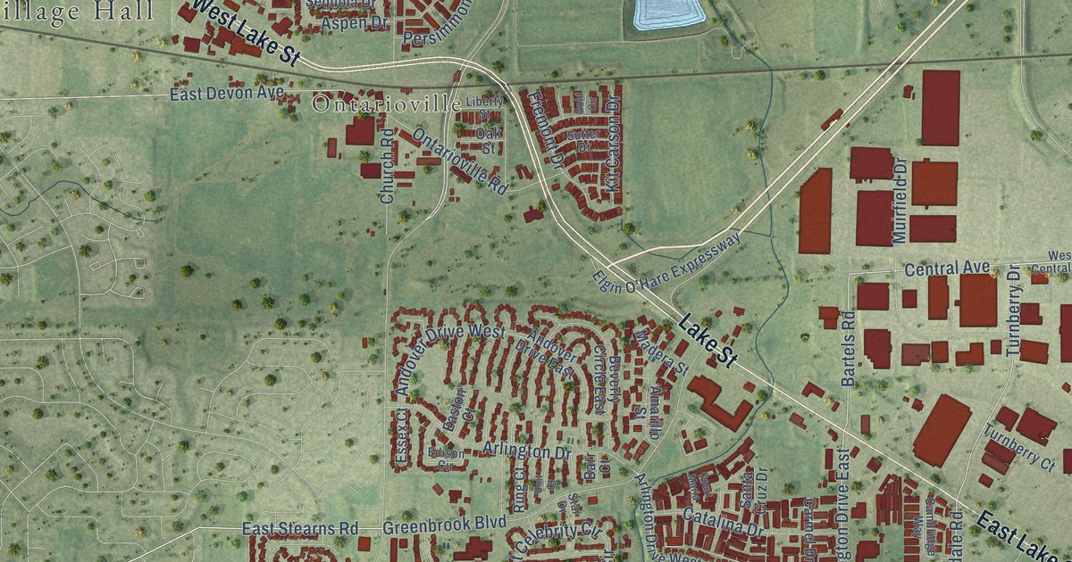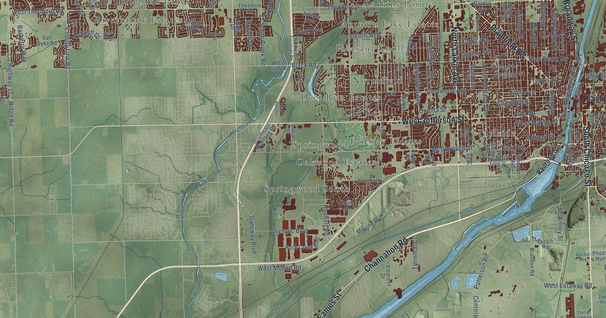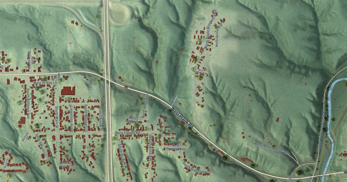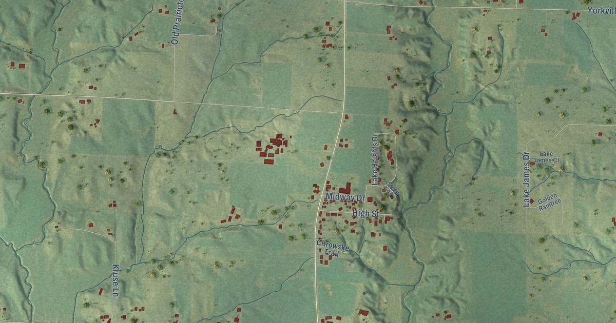
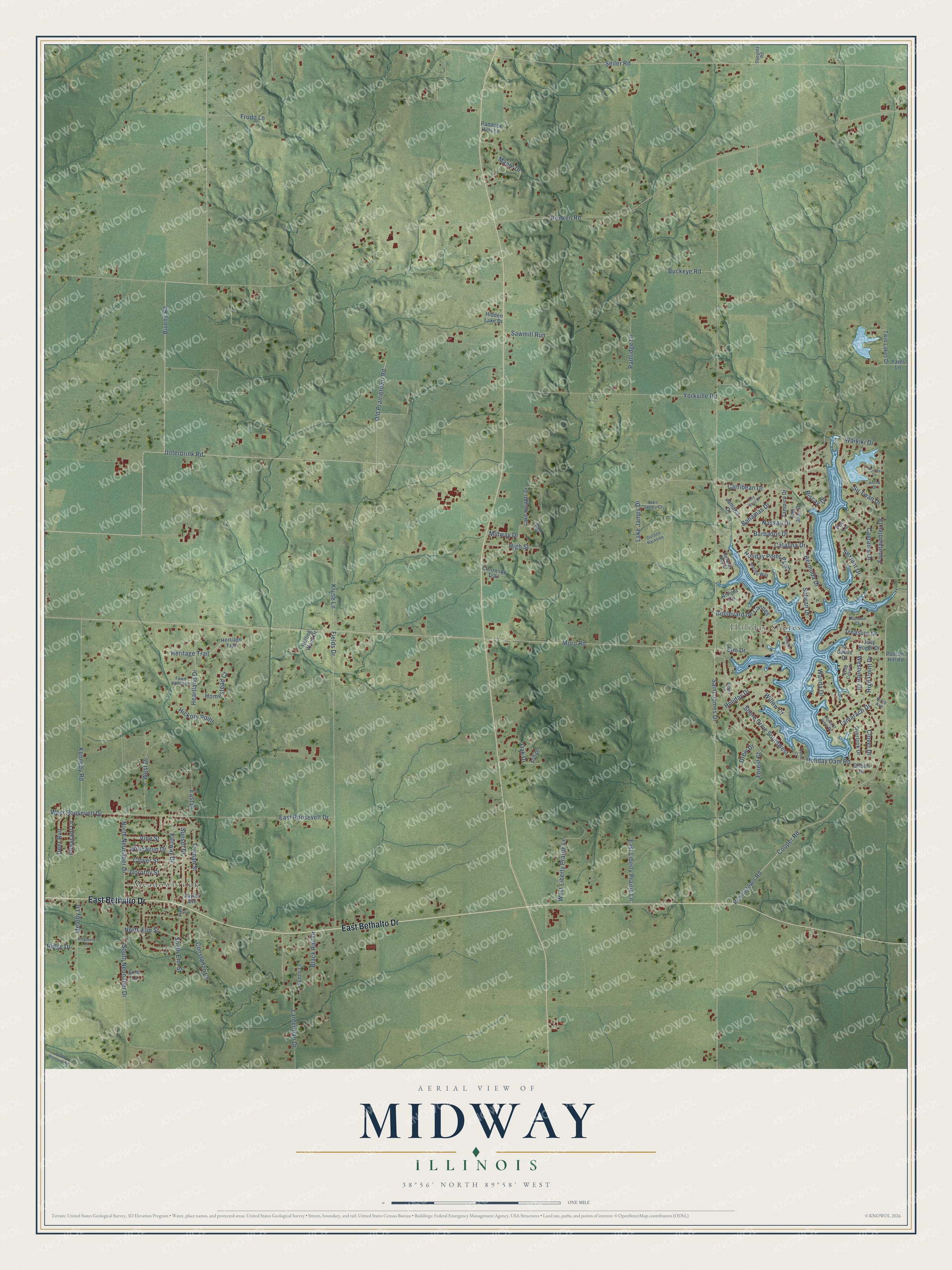
This beautifully detailed map of Midway, Illinois was created in 2026 using aerial imagery combined with modern topographical, census, street and landmark data. It’s a one-of-a-kind view of Midway that combines accurate data with a vintage aesthetic. The map shows every building in its true location, many of the roads carry their names, and the shaded topographic relief shows the shape of the land.
Explore an aerial view of Midway, Illinois
On the map you’ll find Holiday Shores and Meadowbrook, along with East Bethalto Drive, Bivens Road, East Roosevelt Drive, Cooper Road, Moro Road, North Neunaber Drive, Heritage Trail, Saint James Drive, Renken Road, Seiler Road, and more. If you look closely you can even find your house accurately drawn in its correct location. Zoom in on the preview to look for yours.
Did You Know?
From the 1890 History of the Seventy-third Regiment of Illinois Infantry Volunteers: "At a point about one mile west of Midway this detail loaded wagons with ties in the woods, then followed up and unloaded them at the railroad."
Midway is a community in Madison County.
Take a closer look at the Midway map
Names on this map
These names are printed on this map.
Places: Holiday Shores and Meadowbrook.
Streets and roads: East Bethalto Drive, Bivens Road, East Roosevelt Drive, Cooper Road, Moro Road, North Neunaber Drive, Heritage Trail, Saint James Drive, Renken Road, Seiler Road, Prairietown Road, Unterbrink Road.
More street names, A to Z
Alden Lane, Aloha Drive, Ash Drive, Bahamas Drive, Barbados Drive, Bermuda Drive, Birch Avenue, Biscay Drive, Black Rail Drive, Boulevard de Cannes, Buckeye Road, Captains Drive, Carribean Drive, Castle Drive, Catalina Drive, Cedar Court, Ceder Street, Citrowske Trail, Clover Drive, Clover Street, Constanzo Lane, Deep Cove Drive, Deer Run, Dorothy Street, Drew Drive, Dubloon Court, East Drive, East Liberty Prairie Lane, Echo Lane, Elm Drive, Fairway Drive, Fawn Valley Drive, Fields Drive, Forest Court, Fountainbleu Drive, Frodo Lane, Gilbert Drive, Golden Raintree, Heartland Drive, Hertiage Trail, Hickory Point, Hidden Lake Drive, High Point Drive, High Street, Holiday Dam Road, Holiday Drive, Holiday Point Parkway, Homestead Court, Jamaica Drive, Jolly Roger Drive, Kennedy Road, Key West Drive, Kingsbury Drive, Kruse Lane, Lake Heights Drive, Lake James Court, Lake James Drive, Lanterman Drive, Malibu Way, Maple Drive, Melody Lane, Midway Drive, Molokai Court, Monaco Drive, Nassau Drive, Newport Bay Drive, North Elm Street, Oak Drive, Old Prairietown Road, Overlook Drive, Paddock Hills Lane, Partridge Lane, Pheasant Lane, Point of View Drive, Port Lane, Possum Hill Road, Ridge Drive, Riviera Circle, Rolling Wood Drive, San Juan Drive, Sawmill Run, Sextant Drive, Shore Drive Southwest, Short Street, South Elm Street, South Moreland Road, South Neunaber Drive, Stieglitz Road, Sunny Lane, Sunset Drive, Su Twan Drive, Sutwan Drive, Tamarach Drive, Tampico Drive, Taylor Avenue, Treasure Drive, Truman Street, Twin Lakes Drive, Vine Street, Waikiki Drive, Wanda Drive, West Drive, West Liberty Prairie Lane, West Roosevelt Drive, Westview Drive, Willow Court, Willowrun Drive, Yates Lane, Yorkville Road.
See it on a wall
The Midway map as a framed print. Swipe for more.


This beautifully detailed map of Midway makes an attractive addition to your office, library, or den, and it can even be used to teach children the geography and history of the area. It also makes a great gift for anyone with Midway roots. When you’re done exploring, click here to get your copy of the Midway map.