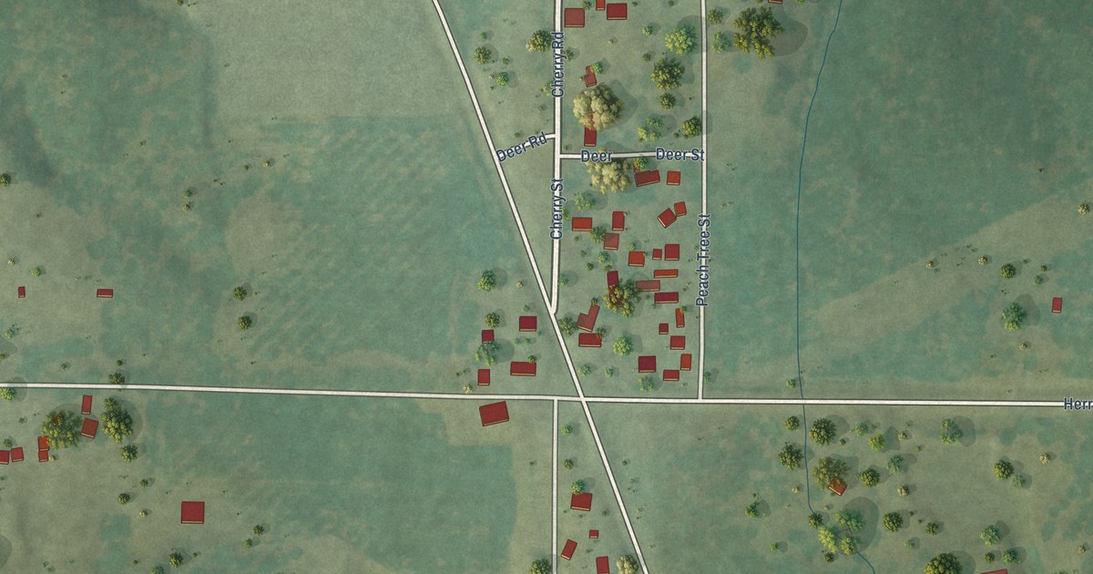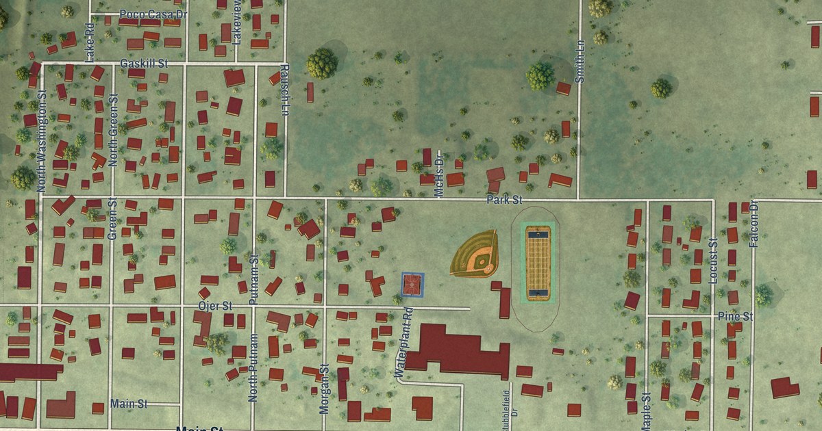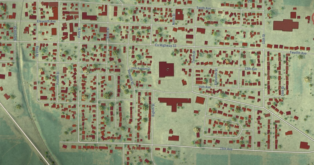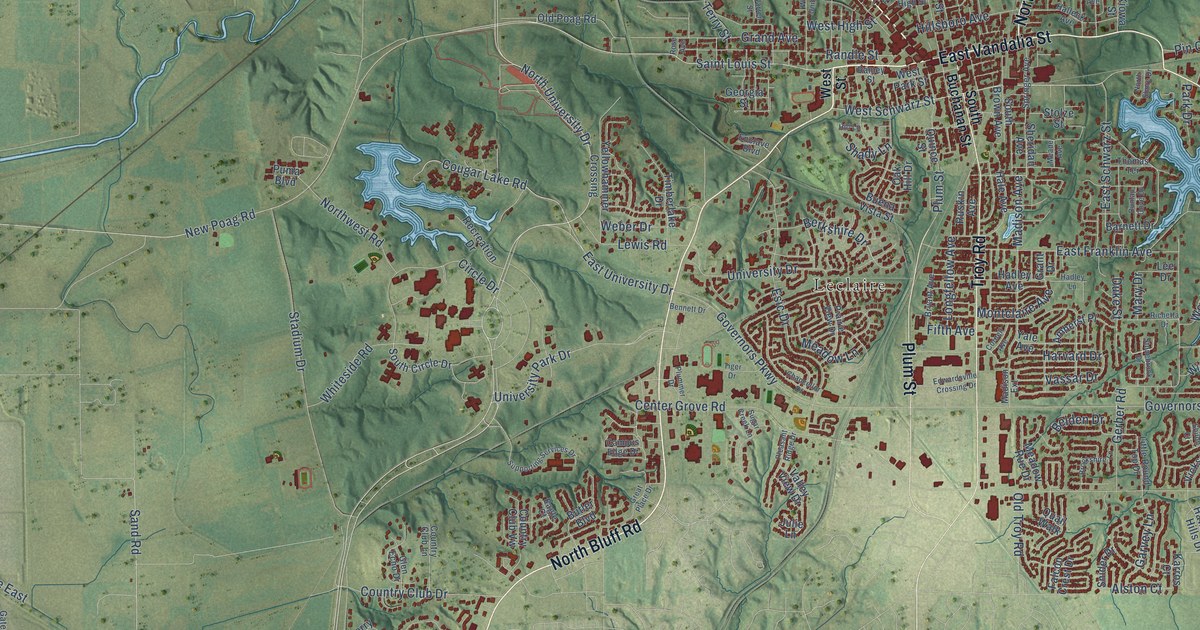
This beautifully detailed map of Edwardsville, Illinois was created in 2026 using aerial imagery combined with modern topographical, census, street and landmark data. It’s a one-of-a-kind view of Edwardsville that combines accurate data with a vintage aesthetic. The map shows every building in its true location, many of the roads carry their names, and the shaded topographic relief shows the shape of the land.
Explore an aerial view of Edwardsville, Illinois
On the map you’ll find Bluff Junction, Lakeview, and Leclaire, along with North Bluff Road, North Main Street, East Vandalia Street, Troy Road, Marine Road, Plum Street, University Drive, North University Drive, East Schwarz Street, and more. If you look closely you can even find your house accurately drawn in its correct location. Zoom in on the preview to look for yours.
Did you know this piece of Edwardsville, Illinois history?
From the History of Madison County: "In 1816 a town was surveyed by Kirkpatrick, and called Edwardsville, in honor of Ninian Edwards, then the territorial governor of Illinois. The growth of the new town was rapid."
Take a closer look at the Edwardsville map
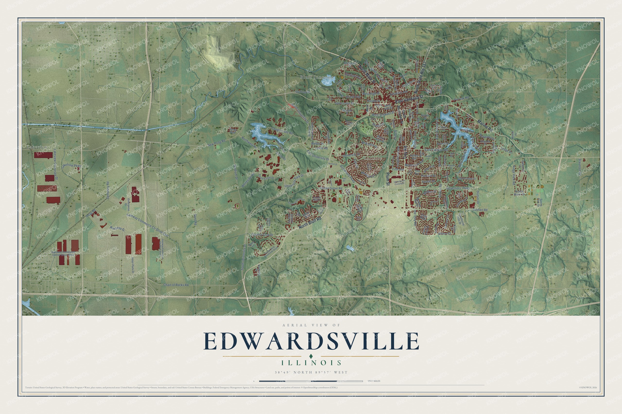
Street and place names on the Edwardsville, Illinois map
These names are printed on the map of Edwardsville, Illinois.
Places: Bluff Junction, Lakeview and Leclaire.
Streets and roads: North Bluff Road, North Main Street, North State Route 157, East Vandalia Street, Troy Road, Marine Road, Plum Street, University Drive, North University Drive, East Schwarz Street, South University Drive, Saint Louis Street.
More street names, A to Z
Abner Place, Alston Court, Amherst Place, Barnett Drive, Belden Drive, Bennett Drive, Berkshire Drive, Berry Lane, Brookshire Lane, Bryant Avenue, Buena Vista Street, Butler Boulevard, Cabernet Lane, Campus Edge Drive, Cemetery Road, Center Grove Road, Chain of Rocks Road, Chancellor Drive, Chapman Street, Circle Drive, Cornell Avenue, Cougar Lake Road, Country Club Drive, Country Club Lane, Country Club Vw, District Drive, Duke Street, Dunlap Cove Drive, Eagle Court, East Franklin Avenue, East High Street, East Lake Drive, East University Drive, Eberhart Avenue, Edwardsville Crossing Drive, Enclave Boulevard, Enterprise Drive, Esic Drive, Falcon Crest Drive, Fifth Avenue, Garvey Lane, Gateway Commerce Center Drive West, Gateway Commerce Ctr Drive East, Gateway Commerce Ctr Drive South, Georgia Street, Gerber Road, Glen Echo Drive, Goshen Road, Governors' Parkway, Governors Parkway, Grand Avenue, Grant Drive, Great Place Drive, Hadley Avenue, Hadley Lane, Hale Avenue, Halleck Avenue, Harmony Drive, Harvard Drive, Hawthorne Hills Drive, Hill Lane, Hillsboro Avenue, Hollyhock Lane, Home Avenue, Illinois Avenue, Inner Park Drive, Julie Lane, Karros Court, Kiowa Street, Klein Avenue, Lakefront Parkway, Lakeview Corporate Drive, Lee Drive, Leslie Drive, Lewis Road, Liberty Street, Little Round Top Drive, Longfellow Avenue, Lotus Drive, Madison Avenue, Madison Extension, Mary Drive, McCoy Drive, Meade Avenue, Meadow Lane, Meadow Rue Drive, Montclaire Avenue, New Poag Road, North Buchanan Street, North Kansas Street, North Shore Drive, Northwest Road, Oak Hill Drive, Old Poag Road, Old Troy Road, Orchard Street, Park Drive, Payne Street, Phillipena Street, Pin Oak Road, Pleasant Ridge Drive, Plummer Drive, Poag Road, Prairie Manor Drive, Prairie View Drive, Puma Boulevard, Quail Walk, Quince Street, Ramey Street, Randle Street, Raymond Road, Recreation Drive, Redwood Drive, Richetta Drive, Ridge View Road, Rose Avenue, Ruskin Avenue, Sand Road, Sequoia Drive, Shady Lane, Shea Court, Sheridan Avenue, Shiloh Court, Snider Drive, South Brown Avenue, South Buchanan Street, South Circle Drive, Sports Park Drive, Springer Avenue, Stadium Drive, Staunton Road, Stolze Street, Stonebrook Drive, Sugar Creek Lane, Sunset Hills Boulevard South, Supporting Services Drive, Terry Street, Thomas Terrace, Tiger Drive, Timberlake Drive, Tower Avenue, University Park Drive, Valley View Drive, Vassar Drive, Vicksburg Drive, Warren Street, Weber Drive, West High Street, West Lake Drive, West Park Street, West Schwarz Street, West Street, West Union Street, Westway Drive, Whiteside Road, Wiese Lane, Willow Creek Drive, Yale Avenue, Yellowhammer Crossing.
See the Edwardsville, Illinois map on a wall
The Edwardsville map as an 18 x 24 inch print in a black frame.

This beautifully detailed map of Edwardsville makes an attractive addition to your office, library, or den, and it can even be used to teach children the geography and history of the area. It also makes a great gift for anyone who grew up in Edwardsville or moved away. When you’re done exploring, click here to get your copy of the Edwardsville map.