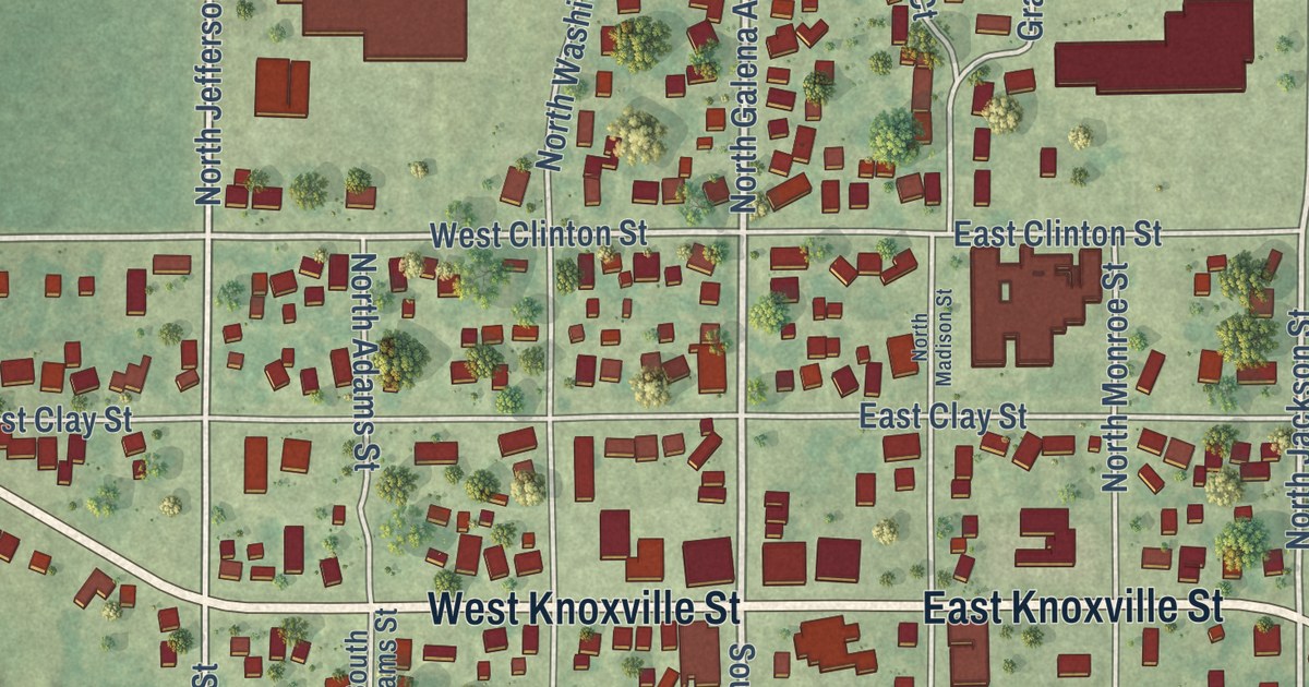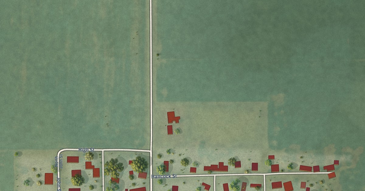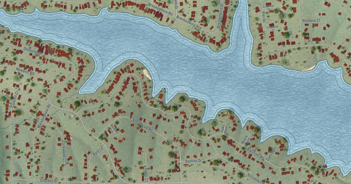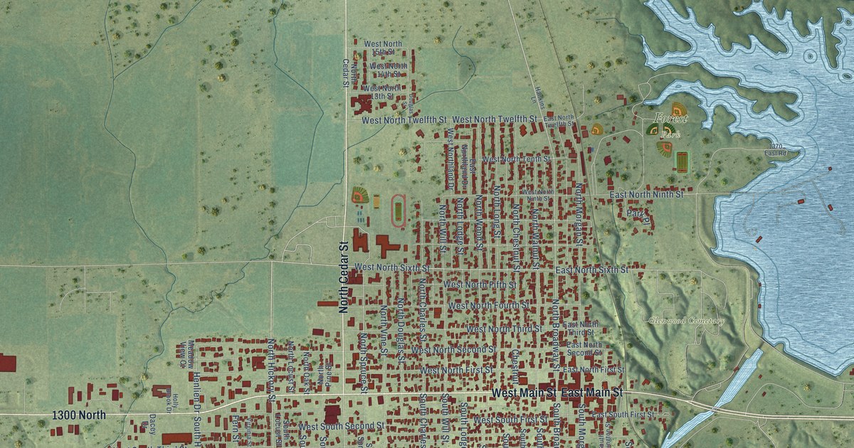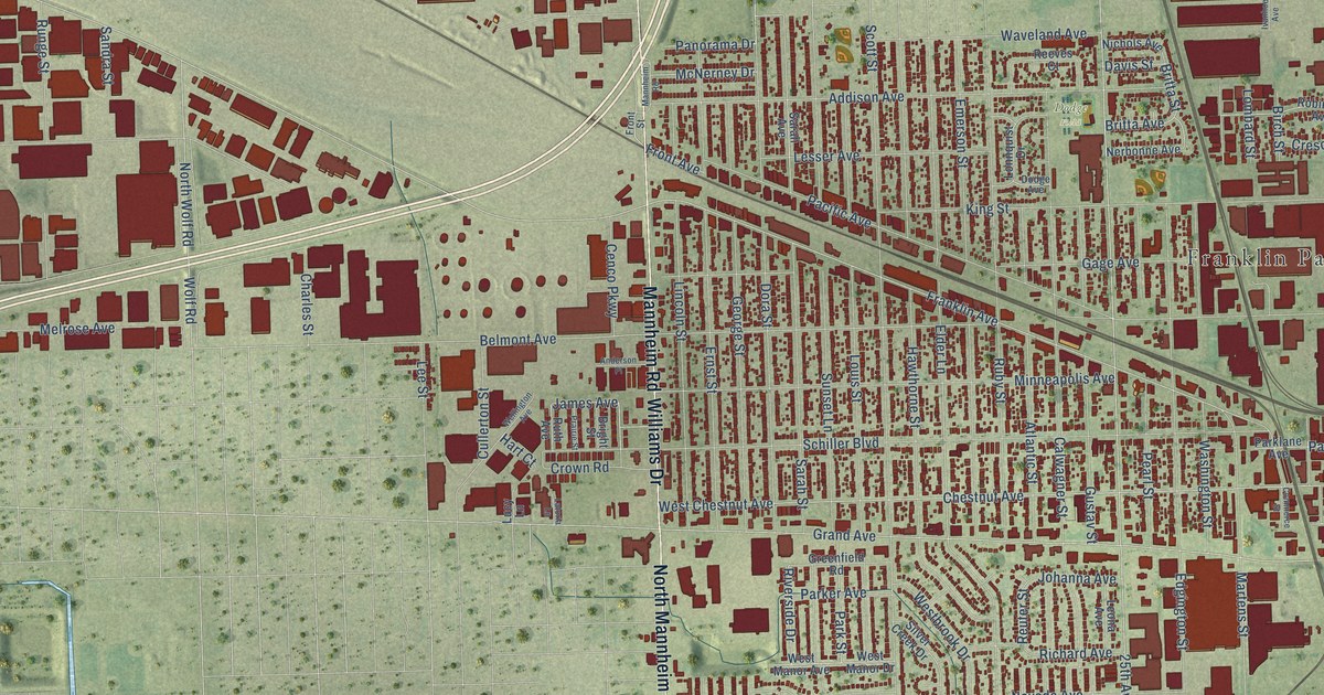
This beautifully detailed map of Franklin Park, Illinois was created in 2026 using aerial imagery combined with modern topographical, census, street and landmark data. It’s a one-of-a-kind view of Franklin Park that combines accurate data with a vintage aesthetic. The map shows every building in its true location, many of the roads carry their names, and the shaded topographic relief shows the shape of the land.
Explore an aerial view of Franklin Park, Illinois
On the map you’ll find Franklin Park Village Hall, Gouin Park, Dodge Field, and South County Line, along with Irving Park Road, Mannheim Road, North Mannheim Road, Williams Drive, Mount Prospect Road, Franklin Avenue, Finley Avenue, 25th Avenue, and more. If you look closely you can even find your house accurately drawn in its correct location. Zoom in on the preview to look for yours.
Did you know this piece of Franklin Park, Illinois history?
From the Village of Franklin Park: "In 1816, Alexander Robinson and Claude La Framboise helped negotiate the Treaty of St. Louis, establishing the Indian Boundary Line that runs through the part of Illinois that is now Franklin Park and River Grove."
Take a closer look at the Franklin Park map
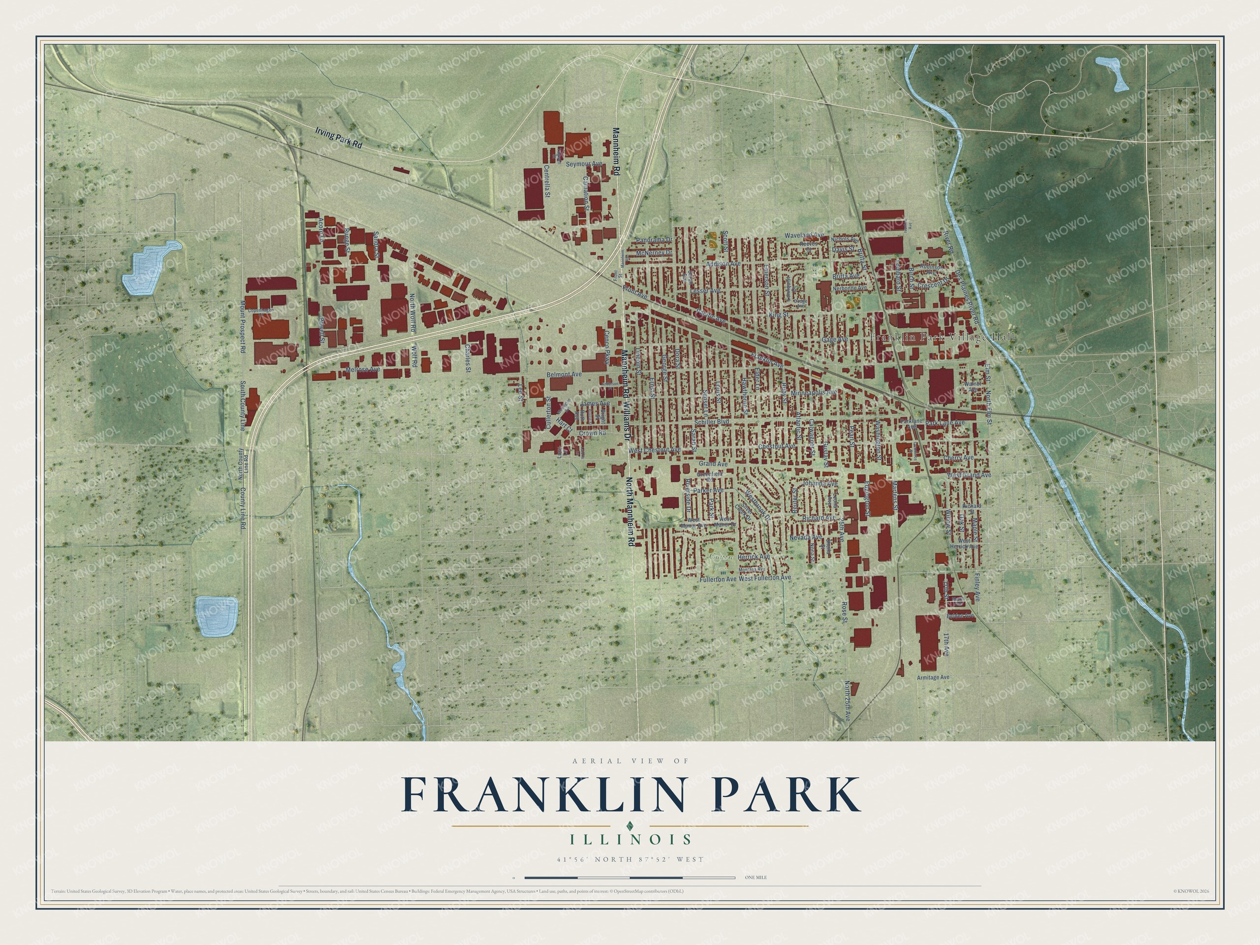
Street and place names on the Franklin Park, Illinois map
These names are printed on the map of Franklin Park, Illinois.
Places: Franklin Park Village Hall, Gouin Park and Dodge Field.
Streets and roads: Irving Park Road, Mannheim Road, North Mannheim Road, Williams Drive, Mount Prospect Road, Franklin Avenue, South County Line, Finley Avenue, 25th Avenue, Elder Lane, North 25th Avenue, Belmont Avenue.
More street names, A to Z
17th Avenue, 17th Street, Acorn Lane, Addison Avenue, Anderson Place, Armitage Avenue, Atlantic Street, Belden Avenue, Birch Street, Bright Street, Britta Avenue, Britta Street, Calwagner Street, Carnation Street, Cenco Parkway, Centrella Street, Charles Street, Cherry Avenue, Chestnut Avenue, Commerce Street, Copenhagen Court, County Line Road, Crescent Drive, Crown Road, Cullerton Street, Davis Street, Des Plaines River Road, Dodge Avenue, Dora Street, Edgington Street, Elm Street, Emerson Street, Ernst Street, Front Avenue, Front Street, Fullerton Avenue, Gage Avenue, George Street, Grand Avenue, Greenfield Road, Gustav Street, Hart Court, Hawthorne Street, Herrick Avenue, Ivanhoe Avenue, James Avenue, Johanna Avenue, King Street, Latoria Lane, Lee Street, Leona Avenue, Lesser Avenue, Lincoln Street, Lombard Street, Lonnquist Drive, Louis Street, Lucy Lane, Maple Street, Martens Street, McNerney Drive, Medill Avenue, Melrose Avenue, Minneapolis Avenue, Montana Avenue, Nerbonne Avenue, Nevada Avenue, Nichols Avenue, Nona Street, North County Line Road, North Elm Street, North Wolf Road, Oak Street, Pacific Avenue, Panorama Drive, Parker Avenue, Park Lane Avenue, Parklane Avenue, Park Street, Pearl Street, Powell Street, Prairie Street, Reeves Court, Reuter Street, Richard Avenue, Richard Street, River Road, Riverside Drive, Robinson Avenue, Rose Street, Ruby Street, Runge Street, Ruth Avenue, Sandra Street, Sarah Avenue, Sarah Street, Schiller Boulevard, Scott Street, Seymour Avenue, Sheila Street, Silver Creek Drive, Sunset Lane, Tugwell Street, Walnut Avenue, Washington Street, Waveland Avenue, Wellington Avenue, Westbrook Drive, West Chestnut Avenue, West Fullerton Avenue, West Grand Avenue, West Herrick Avenue, West Manor Avenue, West Manor Drive, Willow Street, Wolf Road.
See the Franklin Park, Illinois map on a wall
The Franklin Park map as an 18 x 24 inch print in a black frame.

This beautifully detailed map of Franklin Park makes an attractive addition to your office, library, or den, and it can even be used to teach children the geography and history of the area. It also makes a great gift for anyone with Franklin Park roots. When you’re done exploring, click here to get your copy of the Franklin Park map.