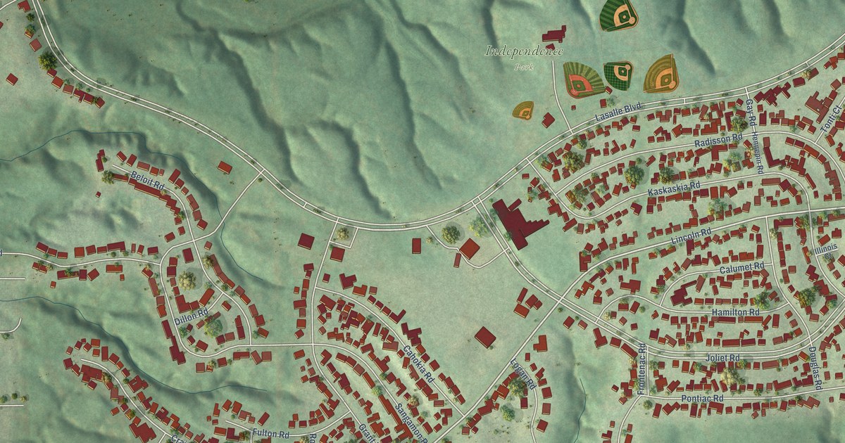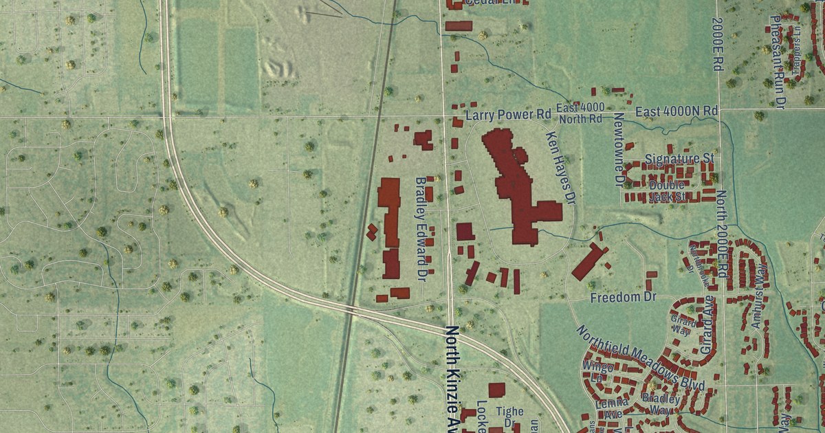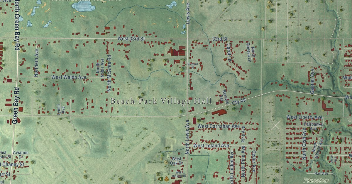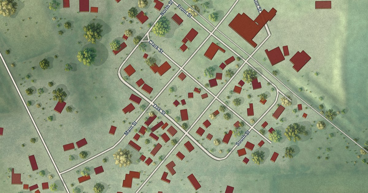
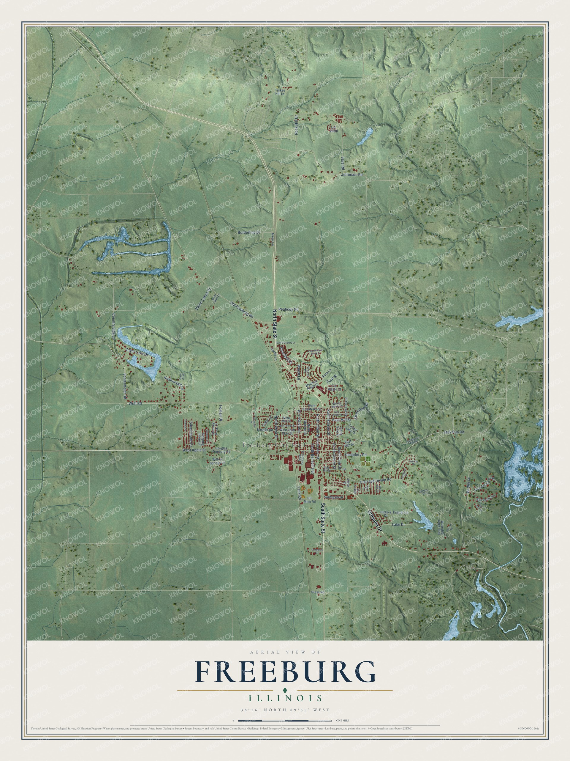
This beautifully detailed map of Freeburg, Illinois was created in 2026 using aerial imagery combined with modern topographical, census, street and landmark data. It's a modern aerial view of Freeburg in St. Clair County, Illinois, that combines modern data with a vintage aesthetic. The roads feature printed names, and if you look closely you can find your exact house accurately shown in its correct location.
Explore an aerial view of Freeburg, Illinois
On this map you'll find Freeburg City Hall, North State Street, South State Street, Urbanna Drive, Country Side Lane, Peabody Road, Schiermeier Road, Wolf Road, West Apple Street, Jack Run Road, North Main Street, North Edison Street, and more. Each red shape is a building, so zoom in on the preview and look for yours.
Every town has a first chapter, and Freeburg is no exception. The St. Clair County History puts it this way: "Freeburg was incorporated March 4th, 1867, by a unanimous vote of her citizens."
Freeburg is a village in St. Clair County. The Census Bureau counted 4,582 people here in 2020.
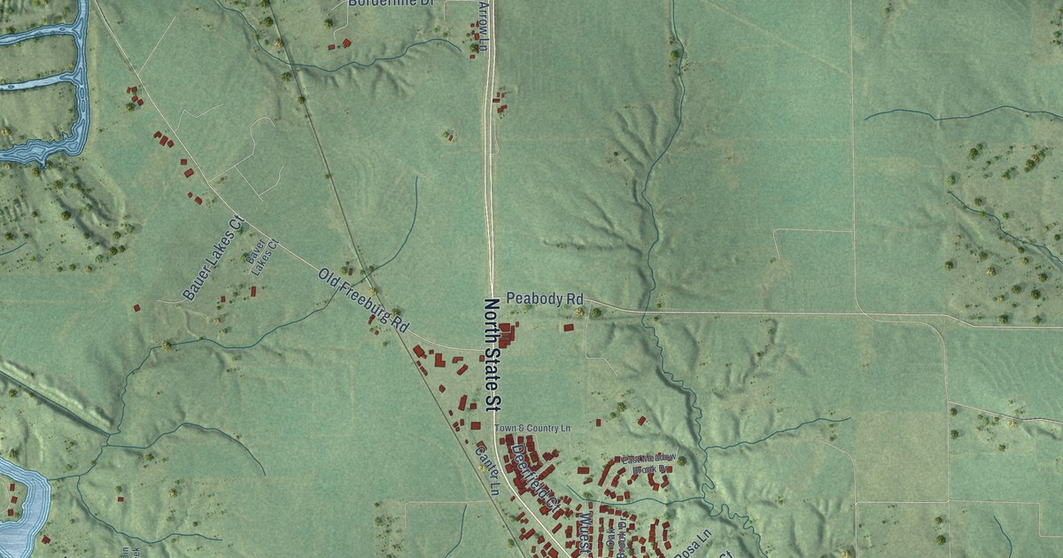
Take a closer look at the Freeburg map
Names on this map
These names are printed on this map.
Places: Freeburg City Hall.
Streets and roads: North State Street, South State Street, Urbanna Drive, Country Side Lane, Peabody Road, Schiermeier Road, Wolf Road, West Apple Street, Jack Run Road, North Main Street, North Edison Street, Frieda Lane.
More street names, A to Z
Adele Street, Arrow Lane, Barber Lane, Bauer Lakes Court, Baver Lakes Court, Bay Pointe Drive, Borderline Drive, Cabin Creek, Canter Lane, Cedar Lane, Cemetery Road, Chimney Rock Drive, Commerce Drive, Deerfield Court, Douglas Freeburg Road, Dovetail Road, East High Street, East Hill Street, East Meadow Brook Drive, East Mill Street, East Temple Street, Ford Street, Foxtail Drive, Glenrock Lane, Henderson Pointe, Hickory Drive, Hill, Hill Mine Road, Jacks Run Road, Jacobs Lane, Jefferson Road, Kessler Road, Lake Drive, Lakeview Drive, Lee Hopp, Mary Ann Court, Meadow Ridge Drive, Milford Drive, Niebruegge Lane, North Alton Street, North Monroe Street, North Pitts Street, North Vine Street, North West Street, Oak Brook Drive, Oak Thorn Drive, Old Fayetteville Road, Old Freeburg Road, Park Street, Press Road, Promontory Pines, Rock Hill Drive, Rosa Lane, Save Road, Silverthorne Drive, Sleeping Indian Drive, South Alton Street, South Belleville Street, South Cherry Street, Southgate Drive, South Richland Street, South Vine Street, Sugar Lake Drive, Sunrise Drive, Tall Maple Court, Tank Road, Telluride Drive, Timber Lake Drive, Town & Country Lane, Turkey Hill Lane, West Koesterer Street, West Mill Street, West Phillips Street, West Saint Clair Street, Westview Drive, Willow Springs Lane, Woods Manor Drive, Wounded Knee Trail, Wuest Lane.
Created by KNOWOL in 2026. The buildings are small red shapes, the roads carry their printed names, and shaded relief shows the shape of the land. The title panel reads "AERIAL VIEW OF FREEBURG ILLINOIS" with 38°26' NORTH 89°55' WEST.
Hang it in the hallway, the office or the cabin, or give it to someone who left Freeburg and still calls it home. Open the preview and look for a street you know. See sizes and frames for the Freeburg map.