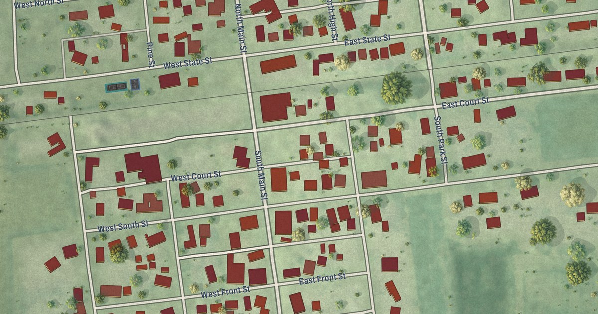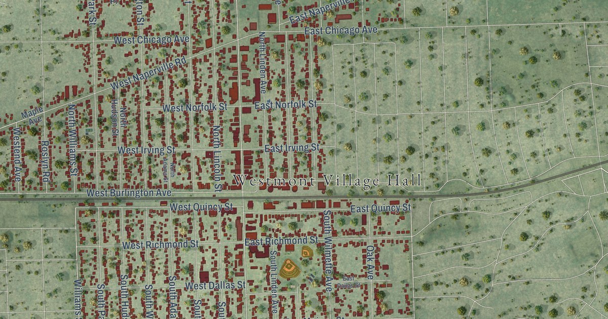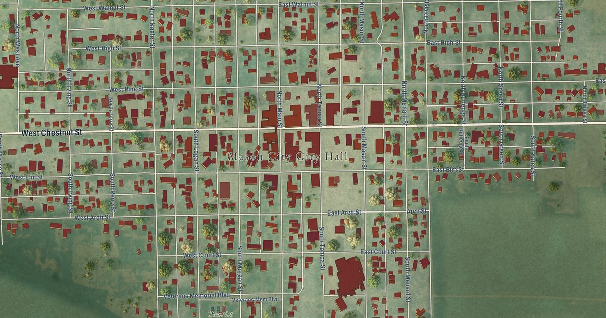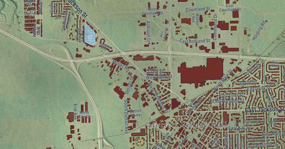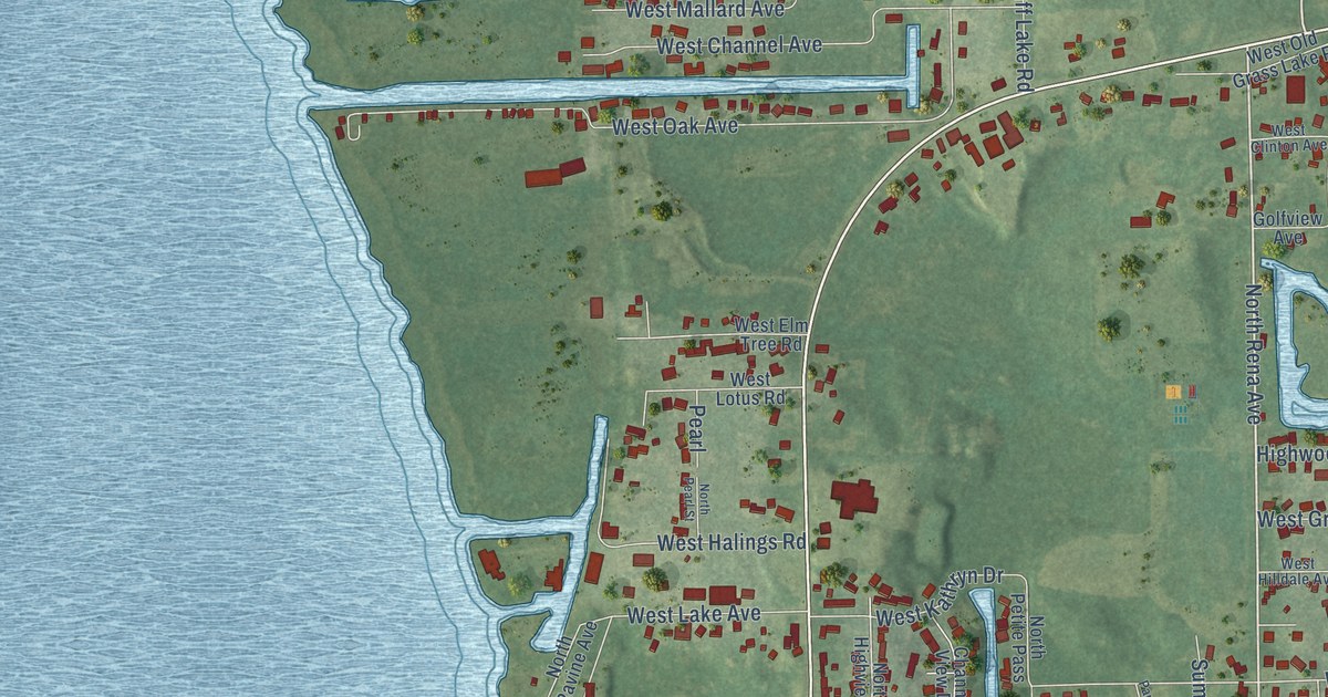
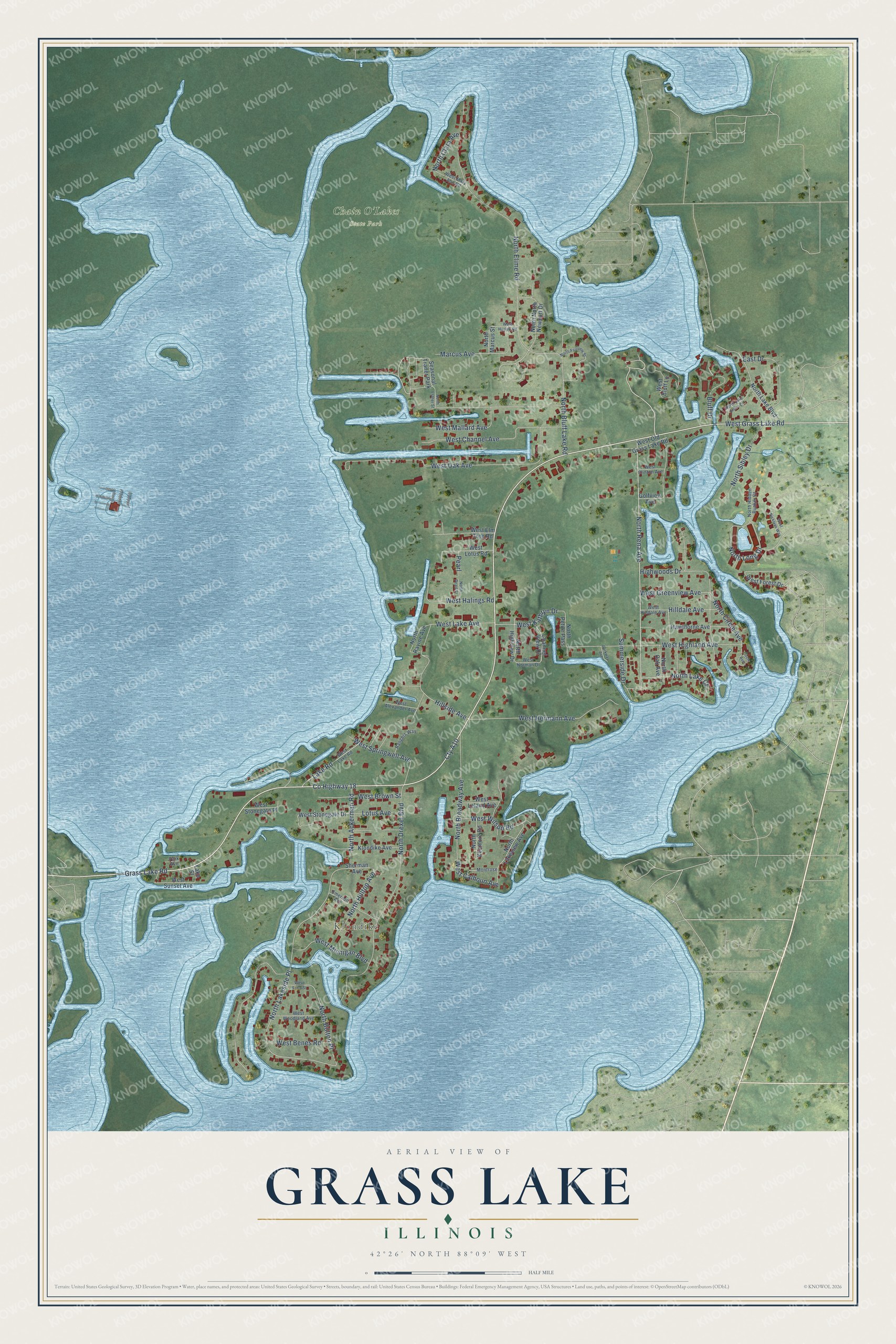
This beautifully detailed map of Grass Lake, Illinois was created in 2026 using aerial imagery combined with modern topographical, census, street and landmark data. It’s a one-of-a-kind view of Grass Lake that combines accurate data with a vintage aesthetic. The map shows every building in its true location, many of the roads carry their names, and the shaded topographic relief shows the shape of the land.
Explore an aerial view of Grass Lake, Illinois
On the map you’ll find Klondike, Chain O’Lakes State Park, Cty A10, North Lakeside Place, and North Bolton Place, along with Grass Lake Road, West Grass Lake Road, County Highway 18, North Rena Avenue, Hillside Avenue, North Elime Road, North Drexel Boulevard, and more. If you look closely you can even find your house accurately drawn in its correct location. Zoom in on the preview to look for yours.
Did You Know?
From the 1900 Biographical Record of Whiteside County, Illinois: "In 1834 the father removed to Michigan and settled at Grass Lake, where he became a prosperous farmer."
Grass Lake is a community in Lake County.
Take a closer look at the Grass Lake map
Names on this map
These names are printed on this map.
Places: Klondike, Chain O'Lakes State Park and Seasonal Trailer Park.
Streets and roads: Cty A10, Grass Lake Road, West Grass Lake Road, County Highway 18, North Rena Avenue, North Lakeside Place, North Bolton Place, Hillside Avenue, North Elime Road, North Drexel Boulevard, West Oak Avenue, North Circle Avenue.
More street names, A to Z
Bluff Drive, Channel View Drive, Circle Avenue, East Drive, Emerson Avenue, Golfview Avenue, Hawthorne Avenue, Highwoods Drive, Hilldale Avenue, Klondike Avenue, Lake Road, Lake Street, Lotus Avenue, Marcus Avenue, Montrose, North Ackerman Road, North Bluff Lake Road, North Broadway Avenue, North Clara Avenue, North Esther Street, North Fairview Street, North Hidden Bunker Court, North Highview Drive, North Hilltop Avenue, North Kenmore Road, North Lake Boulevard, North Lake Court, North Lake Shore Drive, North Lakeview Avenue, North Long Drive, North Marcus Street, North North Newport Drive, North Oak Avenue, North Pearl Street, North Petite Pass, North Ravine Avenue, North Sibley Drive, Park Avenue, Parkway Avenue, Pearl, Rangers Way, Sherman Avenue, Summerside Drive, West Alexander Avenue, West Astor Street, West Benes Road, West Bluff Lane, West Brown Street, West Calhoun Avenue, West Channel Avenue, West Clinton Avenue, West Elm Tree Road, West Forest Drive, West Greenview Avenue, West Halings Road, West Harloff Road, West Hermann Avenue, West Highland Avenue, West Hilldale Avenue, West Kathryn Drive, West Lake Avenue, West Lake Road, West Leland Avenue, West Lotus Road, West Mallard Avenue, West Mary Ann Road, West Michigan Boulevard, West Nicklaus Way, West Norman Drive, West Old Grass Lake Road, West Springwell Avenue, West Stonegate Drive, West Stonegate Place, West Sunset Avenue, West Wilson Road, West Woodland Avenue.
See it on a wall
The Grass Lake map as a framed print. Swipe for more.


This beautifully detailed map of Grass Lake makes an attractive addition to your office, library, or den, and it can even be used to teach children the geography and history of the area. It also makes a great gift for someone who left Grass Lake and still calls it home. When you’re done exploring, click here to get your copy of the Grass Lake map.