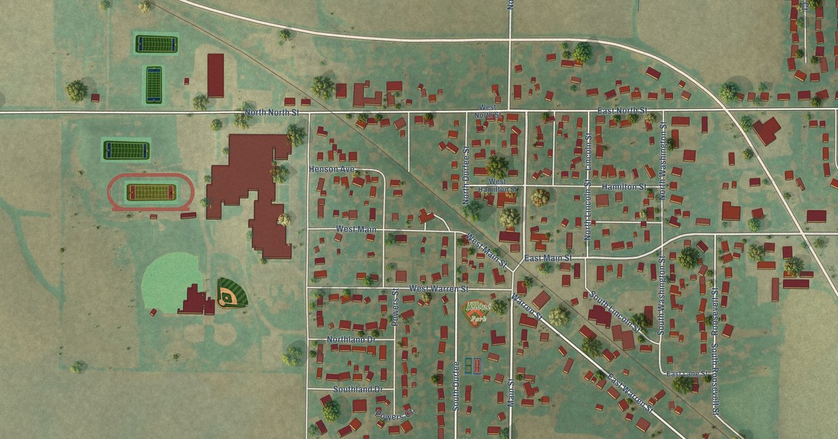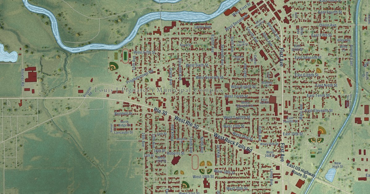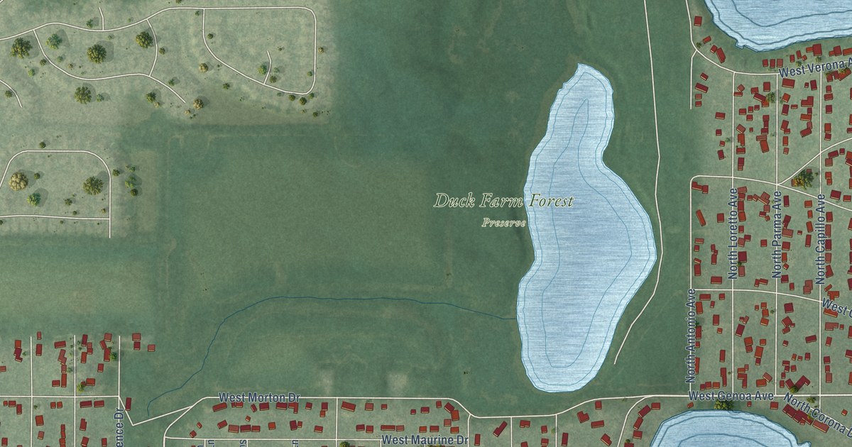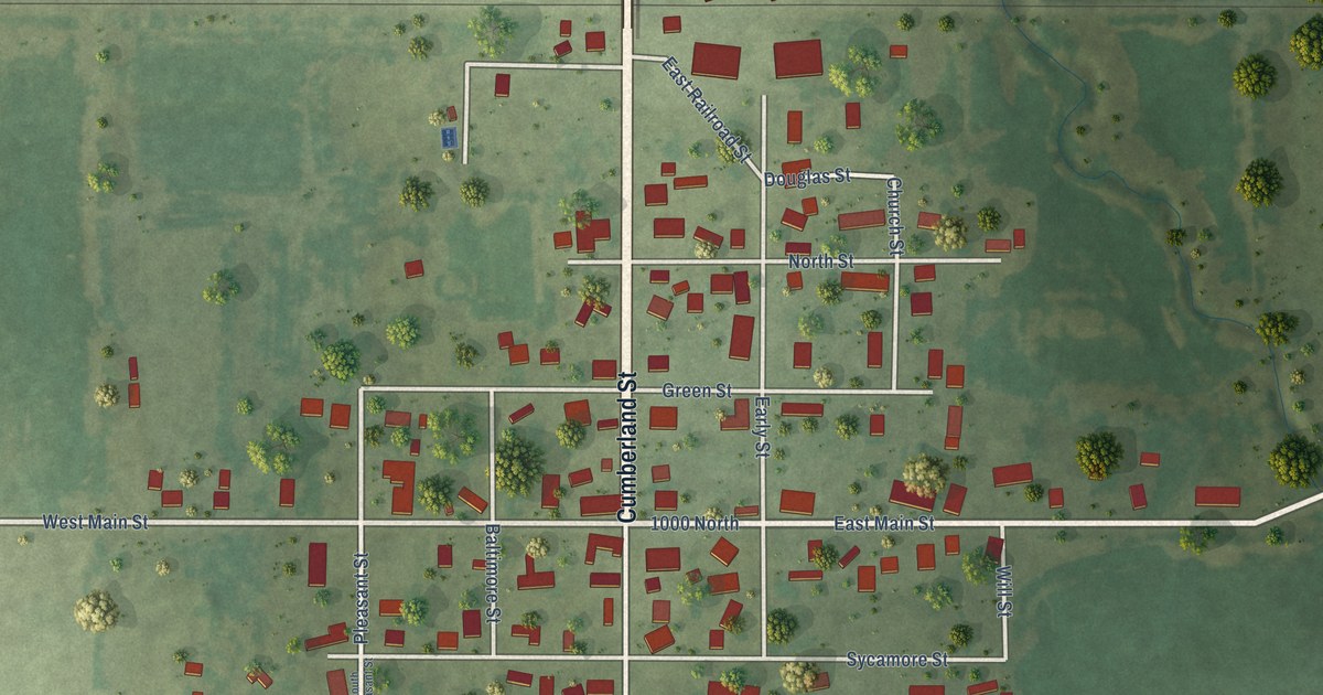
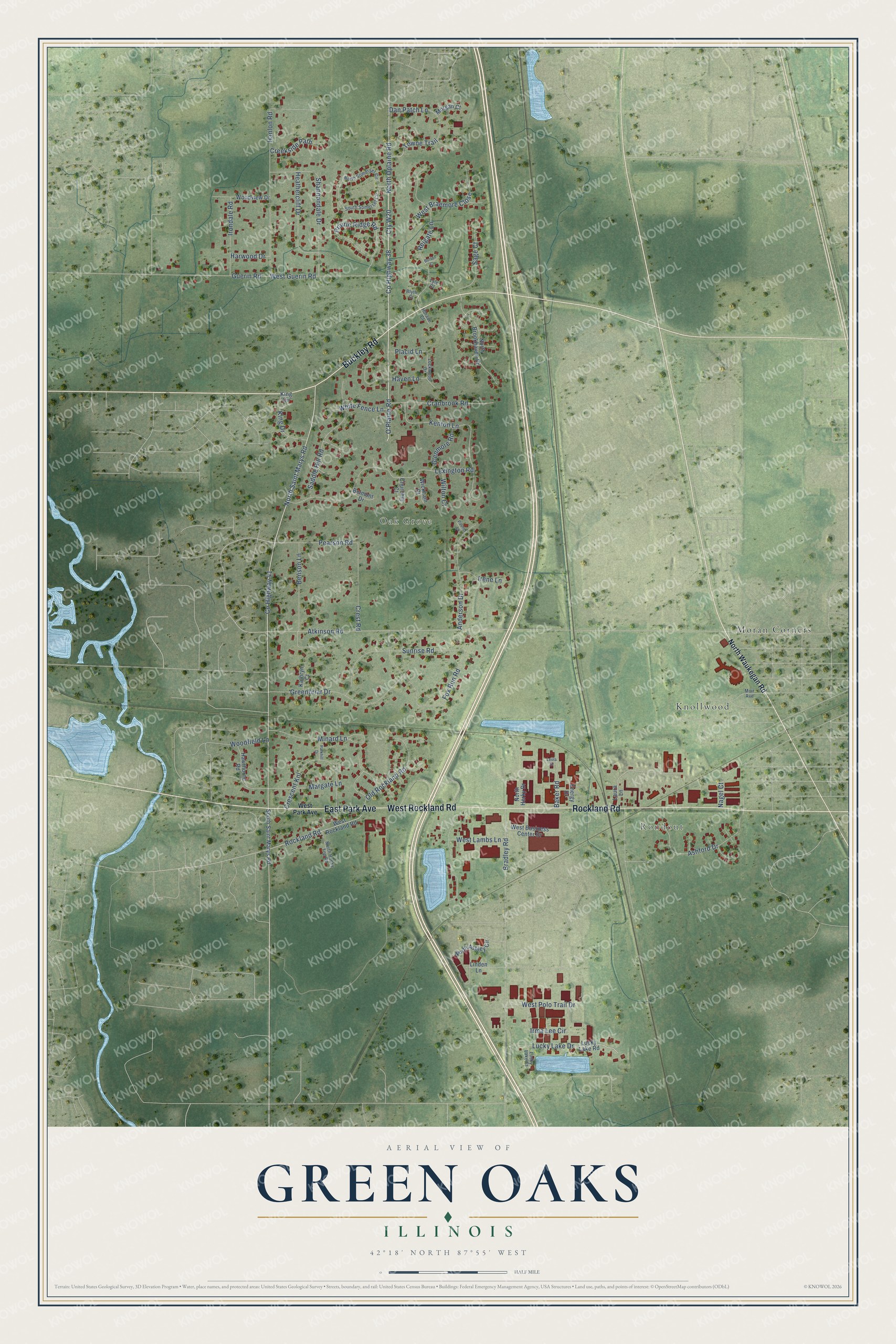
This beautifully detailed map of Green Oaks, Illinois was created in 2026 using aerial imagery combined with modern topographical, census, street and landmark data. It’s a one-of-a-kind view of Green Oaks that combines accurate data with a vintage aesthetic. The map shows every building in its true location, many of the roads carry their names, and the shaded topographic relief shows the shape of the land.
Explore an aerial view of Green Oaks, Illinois
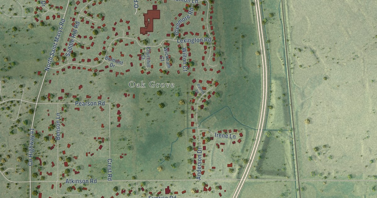
On the map you’ll find Rondout, Oak Grove, Knollwood, Moran Corners, and Cty W20, along with West Rockland Road, Rockland Road, Buckley Road, East Park Avenue, County Highway 38, North Oplaine Road, O’Plaine Road, and more. If you look closely you can even find your house accurately drawn in its correct location. Zoom in on the preview to look for yours.
Did you know this piece of Green Oaks, Illinois history?
From the Encyclopedia of Chicago: "Green Oaks originally incorporated as Oak Grove in 1960. Initial zoning prohibited all but single-family dwellings on lots between one and five acres."
Take a closer look at the Green Oaks map
Street and place names on the Green Oaks, Illinois map
These names are printed on the map of Green Oaks, Illinois.
Places: Rondout, Oak Grove, Knollwood and Moran Corners.
Streets and roads: West Rockland Road, Rockland Road, Buckley Road, East Park Avenue, Cty W20, County Highway 38, North Oplaine Road, O'Plaine Road, North Saint Marys Road, County Highway 41, Lucky Lake Drive, Towne Trail.
More street names, A to Z
Anderson Drive, Ashford Drive, Atkinson Road, Baker Road, Belmont Drive, Benson Lane, Blyth Court, Bradley Road, Burton Court, Churchill Court, Cranbrook Road, Creekside Path, Crescent Knl, Crest Road, Dan Patch Lane, Energy Drive, Fox Run Road, Glenmore Road, Greenbriar Drive, Guerin Road, Hanlon Road, Harwood Drive, Haven Lane, Hawthorne Road, Heathercliff Drive, Horace Court, Irene Lane, Irma Lee Circle, Irondale Road, Kathryn Court, Kenton Lane, King Circle, King Drive, Laura Lane, Leola Drive, Lexington Road, Linden Lane, Lockwood Drive, Lucky Lake Court, Lucky Lake Road, Lyle Court, Margate Lane, Minard Lane, Morgan Court, Muir Avenue, Nagel Court, North Ashley Circle, North Brookhaven Drive, North Herky Drive, North Rocky Top Road, North Somerset Circle, North Waukegan Road, Old Rockland Road, Palmer Lane, Parkhill Drive, Pearson Road, Placid Lane, Prairie Ridge Road, Reigate Lane, Saddle Hill Road, Sage Court, Shannondale Drive, South Saint Marys Road, South Somerset Circle, Sunrise Road, West Braemore Close, West Business Center Drive, West Guerin Road, West Lambs Lane, West Park Avenue, West Polo Trail Drive, White Fence Lane, Wickham Court, Wilton Court, Woodfield Lane, Woodview Drive.
See the Green Oaks, Illinois map on a wall
The Green Oaks map as an 18 x 24 inch print in a black frame.

This beautifully detailed map of Green Oaks makes an attractive addition to your office, library, or den, and it can even be used to teach children the geography and history of the area. It also makes a great gift for someone who left Green Oaks and still calls it home. When you’re done exploring, click here to get your copy of the Green Oaks map.