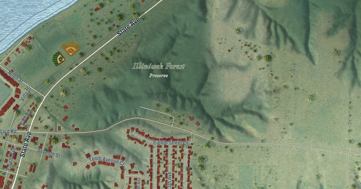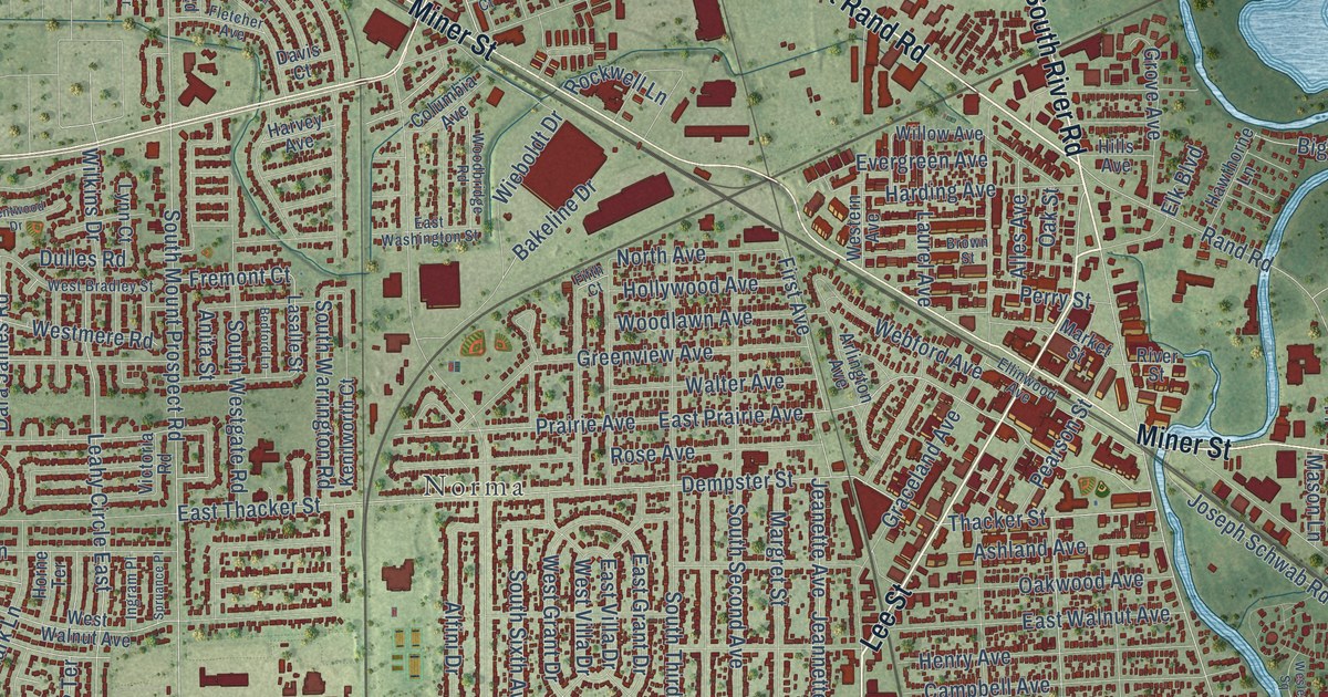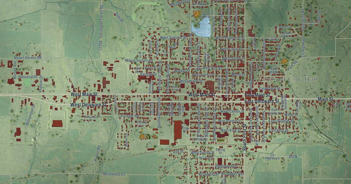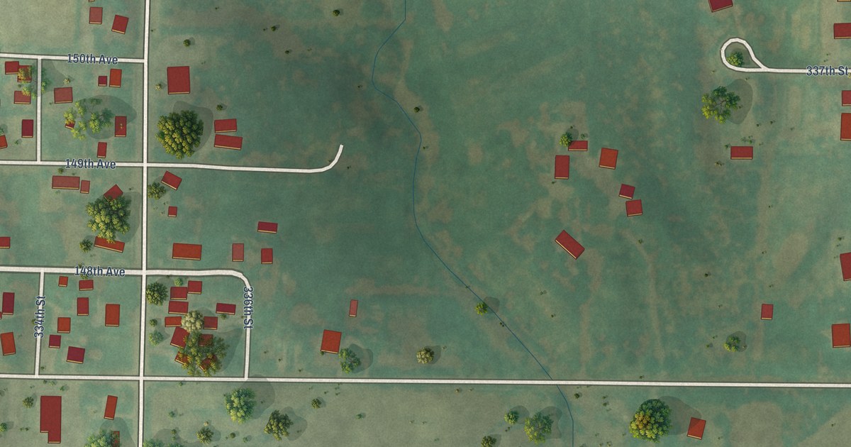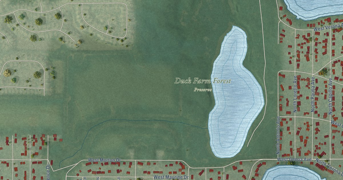
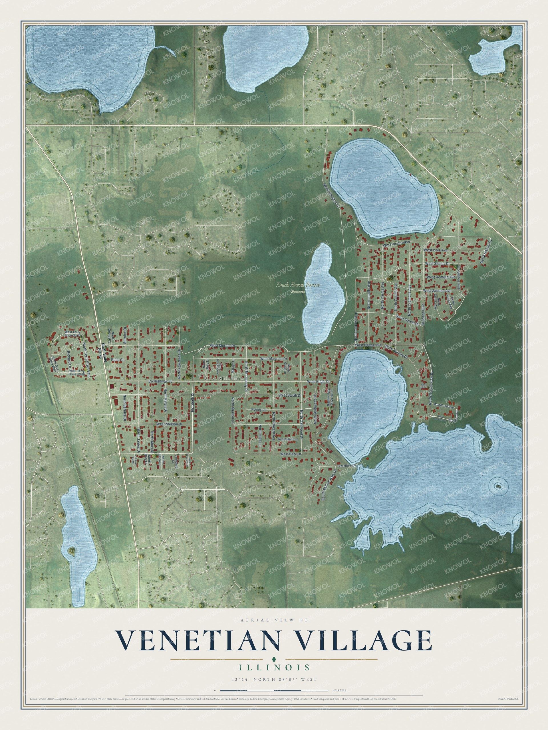
This beautifully detailed map of Venetian Village, Illinois was created in 2026 using aerial imagery combined with modern topographical, census, street and landmark data. It's a modern aerial view of Venetian Village in Lake County, Illinois, that combines modern data with a vintage aesthetic. The roads feature printed names, and if you look closely you can find your exact house accurately shown in its correct location.
Explore an aerial view of Venetian Village, Illinois
On this map you'll find West Miltmore, Duck Farm Forest Preserve, Elizabeth Drive, West Park Drive, West Genoa Avenue, North Prairie View Drive, North Riviera Drive, Forest Avenue, West Morton Drive, Co Highway 55, West Engle Drive, North Douglas Lane, and more. Each red shape is a building, so zoom in on the preview and look for yours.
Venetian Village is a community in Lake County. The Census Bureau counted 2,761 people here in 2020. Venetian Village sits about 2 miles southeast of Lake Villa, 2 miles northeast of Round Lake Beach and 3 miles west of Grandwood Park. The map prints the town name in its title panel, with the coordinates below it.
Take a closer look at the Venetian Village map
Names on this map
These names are printed on this map.
Places: West Miltmore and Duck Farm Forest Preserve.
Streets and roads: Elizabeth Drive, West Park Drive, West Genoa Avenue, North Prairie View Drive, North Riviera Drive, Forest Avenue, West Morton Drive, County Highway 55, West Engle Drive, North Douglas Lane, West Sarah Drive, Granada Boulevard.
More street names, A to Z
Bernice Drive, Columbus Avenue, Honey Lane, Lawrence Court, Marilyn Lane, Nathan Hale Drive North, North Alice Lane, North Antonio Avenue, North Bernice Drive, North Capillo Avenue, North Carol Lane, North Corona Drive, North Cremona Avenue, North Edward Avenue, North Elizabeth Court, North George Court, North Helen Court, North Helen Drive, North Hilda Lane, North James Court, North James Drive, North Lawrence Drive, North Loretto Avenue, North Marilyn Lane, North Mary Court, North Mary Drive, North Normandy Drive, North Oakwood Drive, North Parma Avenue, North Ponce Avenue, North Sistina Avenue, North State Route 83, North Sunshine Avenue, North Terry Drive East, North Terry Drive West, North Wildwood Drive, Paradise Lane, Richard Lane, Rose Court, South Nathan Hale Drive, West Danny Lane, West Garcia Drive, West Isola Avenue, West Lake Court, West Lakeview Avenue, West Maurine Drive, West Nielson Drive, West Romero Avenue, West Sanrem Avenue, West Sienna Drive, West Terry Drive North, West Terry Drive South, West Verona Avenue, Woodland Avenue.
See it on a wall
The Venetian Village map as a framed print. Swipe for more.


Created by KNOWOL in 2026. The buildings are small red shapes, the roads carry their printed names, and shaded relief shows the shape of the land. The title panel reads "AERIAL VIEW OF VENETIAN VILLAGE, ILLINOIS" with 42°24' NORTH 88°03' WEST.
Hang it in the hallway, the office or the cabin, or give it to someone who left Venetian Village and still calls it home. Open the preview and look for a street you know. See sizes and frames for the Venetian Village map.