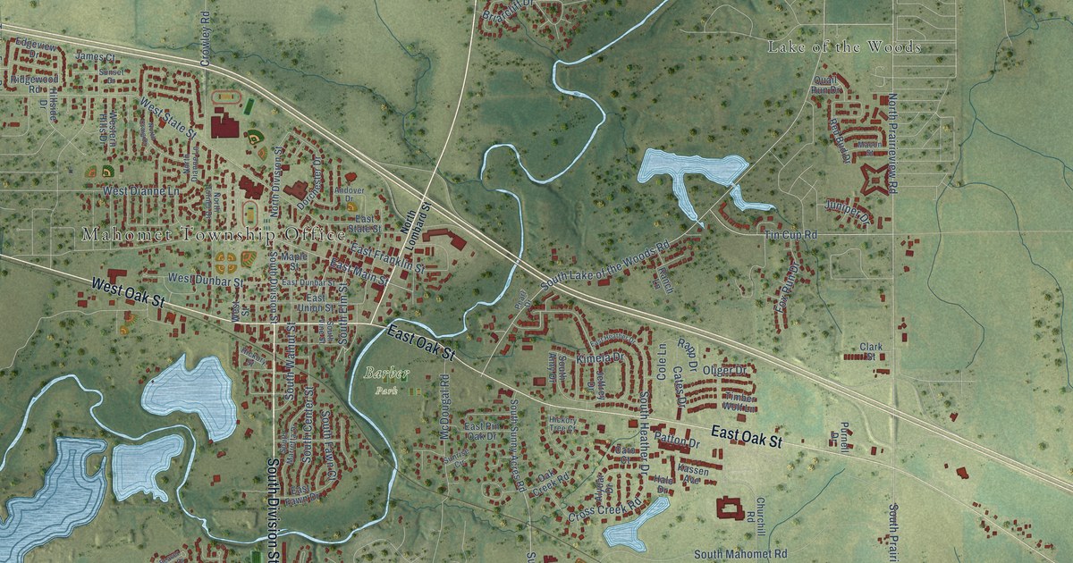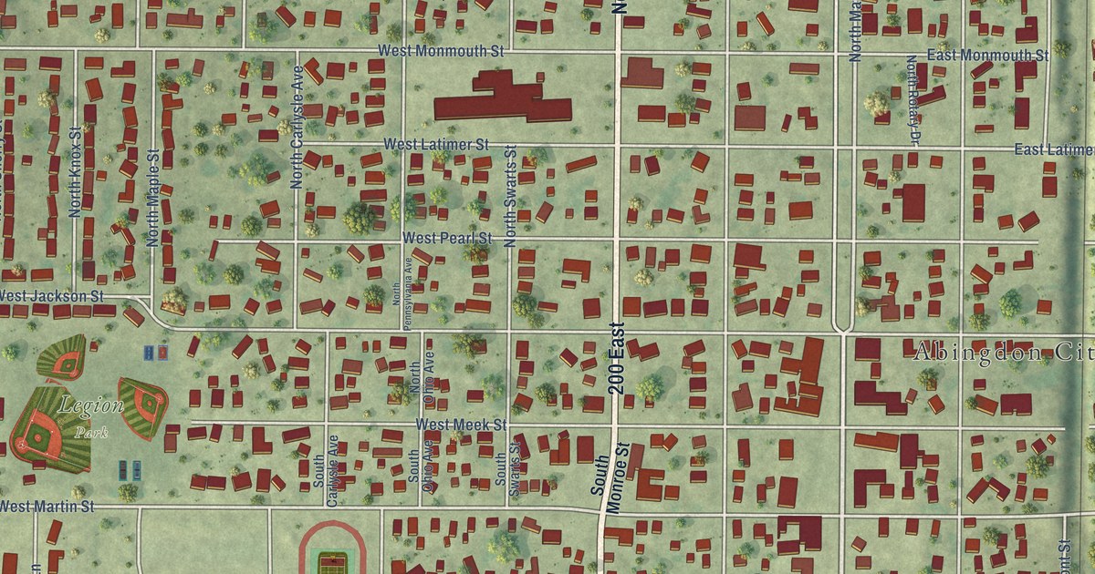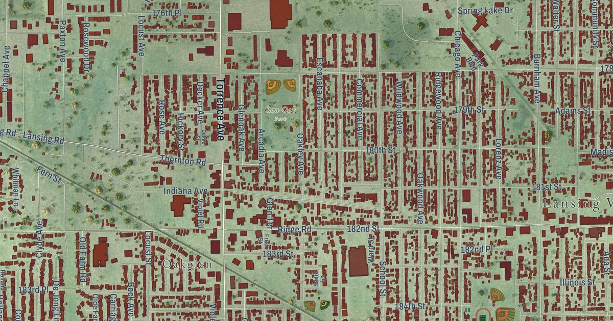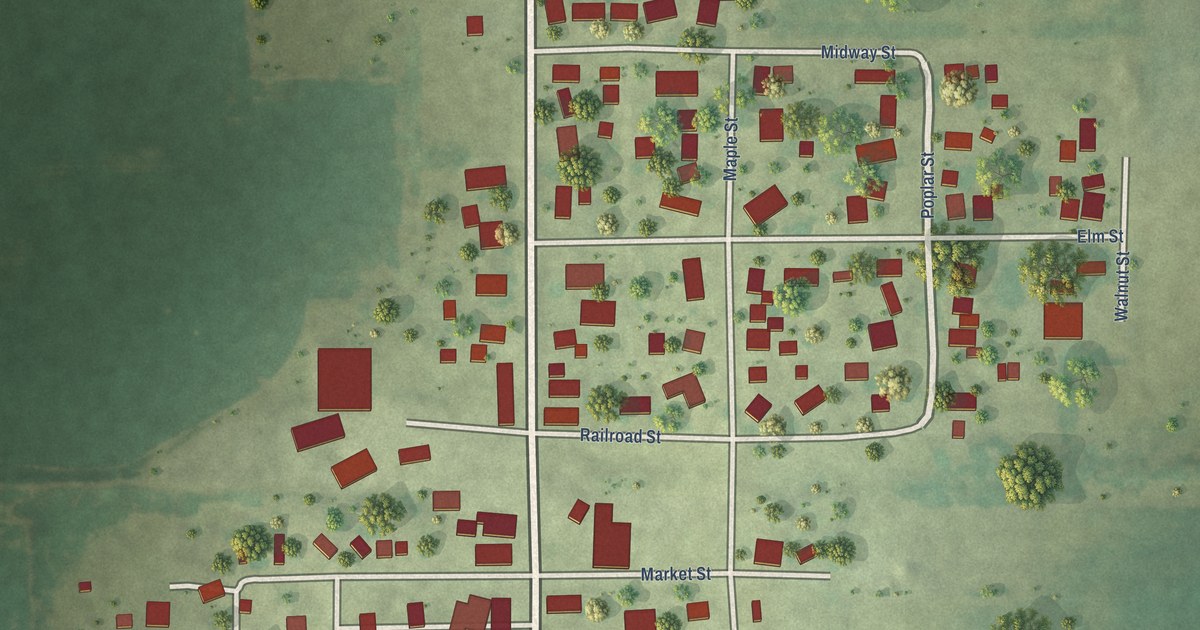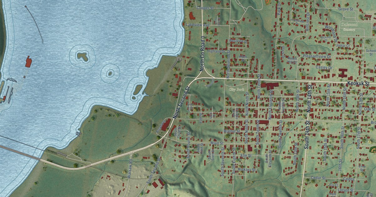
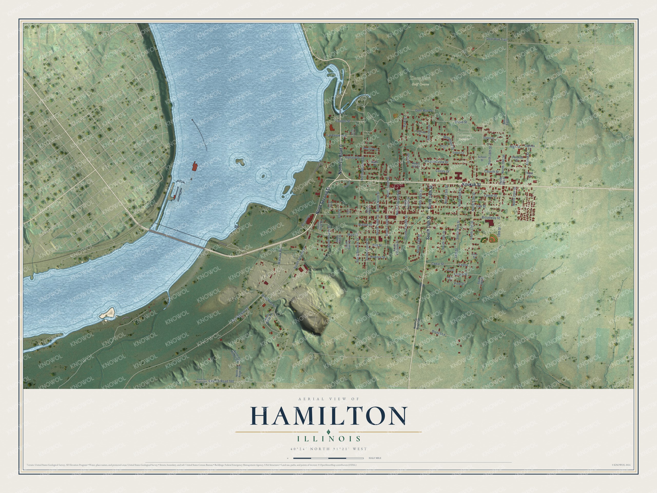
This beautifully detailed map of Hamilton, Illinois was created in 2026 using aerial imagery combined with modern topographical, census, street and landmark data. It's a modern aerial view of Hamilton in Hancock County, Illinois, that combines modern data with a vintage aesthetic. The roads feature printed names, and if you look closely you can find your exact house accurately shown in its correct location.
Explore an aerial view of Hamilton, Illinois
On this map you'll find Deer Run Golf Course, Oakwood Cemetery, City Park, Keokuk Street, North Co Road 0, North Second Street, South 14th Street, North 14th Street, North 17th Street, Laurel Street, South 16th Street, South 17th Street, and more. Each red shape is a building, so zoom in on the preview and look for yours.
Hamilton has a story worth telling. The Historical Encyclopedia of Illinois puts it this way: "HAMILTON, a city in Hancock County, on the Mississippi River opposite Keokuk, Iowa ; at junction of the Toledo, Peoria & Western and Keokuk branch of the Wabash Railway. Its position at the foot of the lower rapids insures abundant water power for manufacturing purposes."
Hamilton is a city in Hancock County. The Census Bureau counted 2,753 people here in 2020.
Take a closer look at the Hamilton map
Names on this map
These names are printed on this map.
Places: Deer Run Golf Course, Oakwood Cemetery and City Park.
Streets and roads: Keokuk Street, North County Road 0, North Second Street, South 14th Street, North 14th Street, North 17th Street, Laurel Street, South 16th Street, South 17th Street, Pine Street, 16th Street, High Street.
More street names, A to Z
14th Street, 19th Street, 900 East, Allen Street, Alvord Street, Belmont Drive, Broadway, Broadway Street, Casley Drive, Cedar Street, Cedos, Church Street, Cooper Street, County Highway 32, Crestview Drive, Cypress Lane, Dania Drive, Deer Run Drive, Deer Run Trail, Dirado Lane, East County Road 760, East County Road 1200, Elm Street, Fifth Street, Grove Street, Haist Street, Hickory Court, Hickory Street, Highland Drive, Hillcrest Drive, Iris Court, Jamar Court, Lakeview Avenue, Linn Street, Locust Street, Main Street, North 13th Street, North 15th Street, North 16th Street, North 18th Street, North 19th Street, North 20th Street, North County Road 760, North County Road 850, North County Road 1200, North Eighth Street, North Eleventh Street, North Fourth Street, North Ninth Street, North Seventh Street, North Sixth Street, North Tenth Street, North Twelfth Street, Oakcrest Drive, Oak Street, Park Drive, Plaza Drive, Pleasantview Drive, Robin Hill Drive, Rose Court, School Street, Sixth Street, South 13th Street, South 15th Street, South 18th Street, South 19th Street, South Eighth Street, South Eleventh Street, South Fifth Street, South Fourth Street, South Ninth Street, South Second Street, South Seventh Street, South Sixth Street, South Tenth Street, South Third Street, South Twelfth Street, Walnut Street, Warsaw Road, Westview Drive, Windy Hills Road, Windy Woods Drive, Woodland Drive.
Created by KNOWOL in 2026. The buildings are small red shapes, the roads carry their printed names, and shaded relief shows the shape of the land. The title panel reads "AERIAL VIEW OF HAMILTON ILLINOIS" with 40°24' NORTH 91°21' WEST.
It looks right in a kitchen, an office or a den, and it's a gift for anyone who grew up in Hamilton or moved away. Open the preview and find your street. See sizes and frames for the Hamilton map.