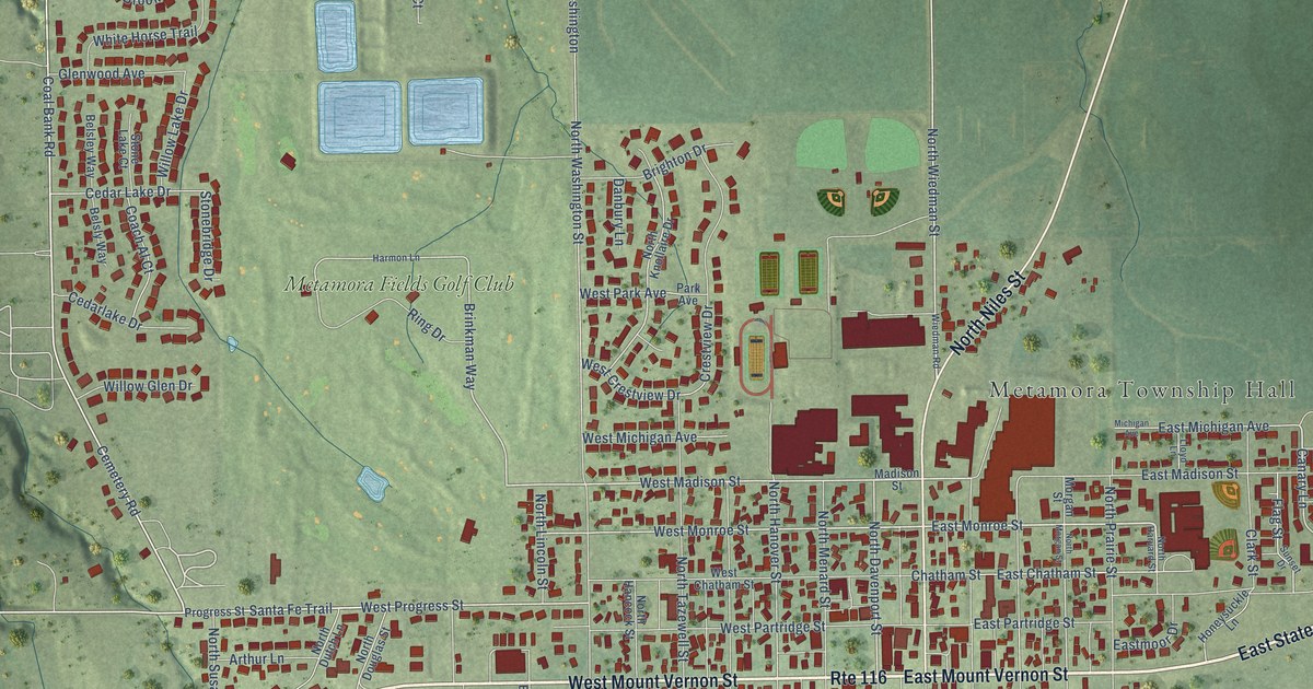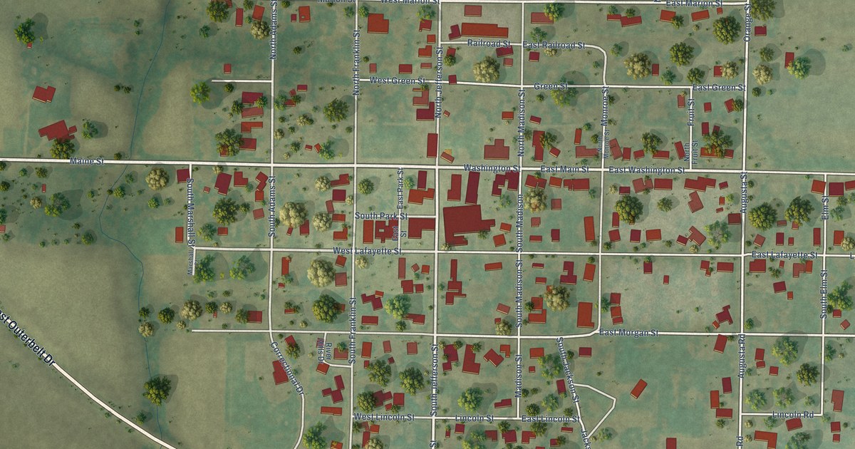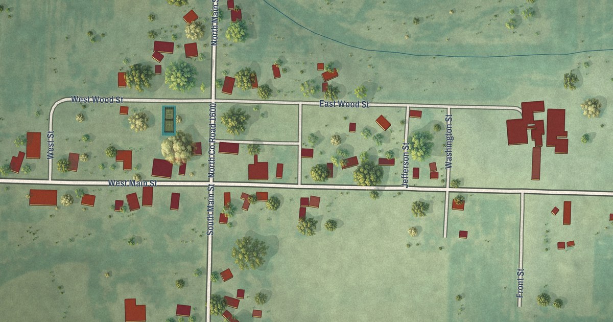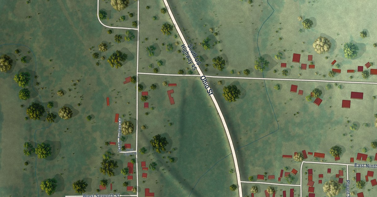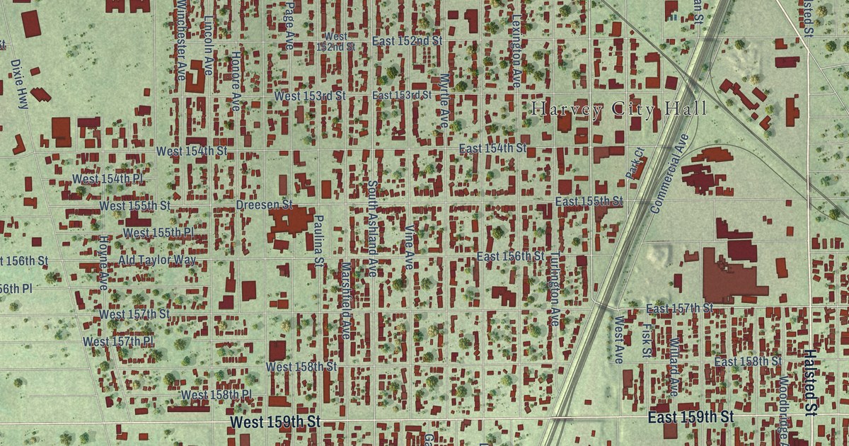
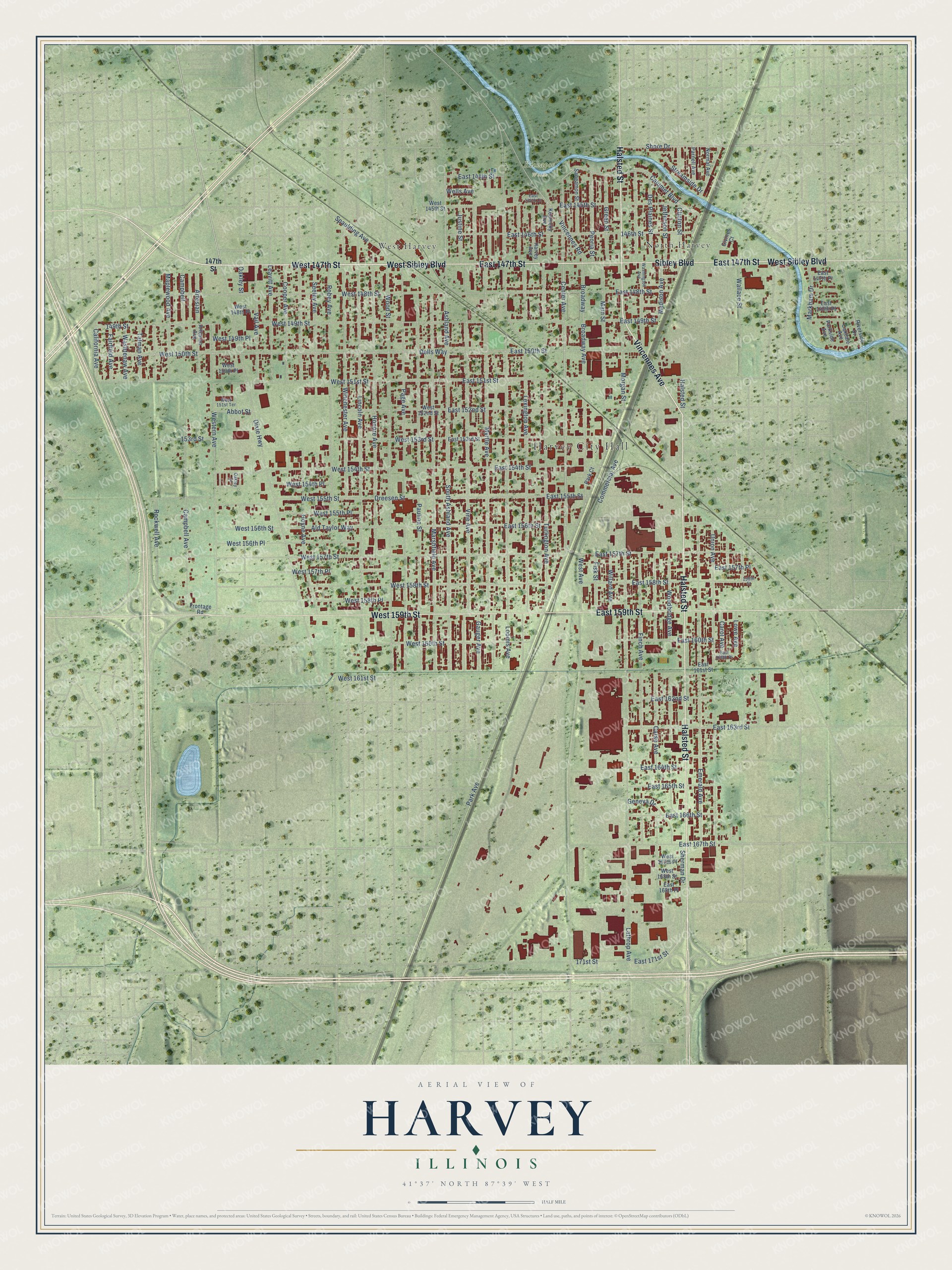
This beautifully detailed map of Harvey, Illinois was created in 2026 using aerial imagery combined with modern topographical, census, street and landmark data. It's a modern aerial view of Harvey in Cook County, Illinois, that combines modern data with a vintage aesthetic. The roads feature printed names, and if you look closely you can find your exact house accurately shown in its correct location.
Explore an aerial view of Harvey, Illinois
On this map you'll find Harvey City Hall, Kickapoo Woods, Taft Park, North Harvey, West Harvey, Halsted Street, West Sibley Boulevard, West 147th Street, East 147th Street, Sibley Boulevard, East 159th Street, West 159th Street, and more. Each red shape is a building, so zoom in on the preview and look for yours.
Harvey is a city in Cook County. The Census Bureau counted 20,324 people here in 2020. The map prints the town name in its title panel, with the coordinates below it.
Take a closer look at the Harvey map
Names on this map
These names are printed on this map.
Places: Harvey City Hall, Kickapoo Woods, Taft Park, North Harvey and West Harvey.
Streets and roads: Halsted Street, West Sibley Boulevard, West 147th Street, East 147th Street, Sibley Boulevard, East 159th Street, West 159th Street, Vincennes Avenue, Center Avenue, East 157th Street, Wallace Street, Shore Drive.
More street names, A to Z
146th Street, 147th Street, 149th Street, 153rd Street, 158th Street, 171st Street, Abbot Street, Ald Taylor Way, Artesian, Artesian Avenue, Ashland Avenue, Broadway, Broadway Avenue, California Avenue, Calumet Boulevard, Campbell, Campbell Avenue, Carol Avenue, Carse Avenue, Clinton Street, Commercial Avenue, Cooper Avenue, Dells Way, Des Plaines Street, Dixie Highway, Dreesen Street, East 144th Court, East 144th Street, East 145th Street, East 146th Street, East 147th Place, East 148th Place, East 148th Street, East 149th Street, East 150th Street, East 151st Street, East 152nd Street, East 153rd Street, East 154th Street, East 155th Street, East 156th Street, East 157th Place, East 158th Street, East 160th Place, East 160th Street, East 161st Street, East 162nd Street, East 163rd Street, East 164th Street, East 165th Street, East 166th Street, East 167th Street, East 168th Place, East 171st Street, Emerald Avenue, Fairfield Avenue, Finch Avenue, Fisk Street, Frontage Road, Gauger Avenue, Geneva Drive, Givines Court, Green Street, Harvey Avenue, Honore Avenue, Hoyne Avenue, Jefferson Street, Justine Street, Kentucky Avenue, Lathrop Avenue, Leavitt Avenue, Lexington Avenue, Lincoln Avenue, Loomis Avenue, Lowe Avenue, Madison Avenue, Main Street, Maplewood Avenue, Markham Drive, Marshfield Avenue, Morgan Street, Myrtle Avenue, Normal Avenue, Oakdale Avenue, Oakley Court, Oakley Street, Page Avenue, Park Avenue, Park Court, Parkside Avenue, Parnell Avenue, Paulina Street, Peoria Street, Riverside Drive, Robey Avenue, Rockwell Avenue, Sangamon Street, Seeley Avenue, Sherman Drive, South Ashland Avenue, Spaulding Avenue, Streamside Drive, Talman Avenue, Turlington Avenue, Union Avenue, Vail Avenue, Vincennes Road, Vine Avenue, Washington Avenue, Washtenaw Avenue, Wells Avenue, West 145th Street, West 148th Place, West 148th Street, West 149th Place, West 149th Street, West 150th Place, West 150th Street, West 151st Street, West 151st Terrace, West 152nd Street, West 153rd Street, West 154th Place, West 154th Street, West 155th Place, West 155th Street, West 156th Place, West 156th Street, West 157th Place, West 157th Street, West 158th Place, West 158th Street, West 160th Street, West 161st Street, West 167th Place, West 168th Street, West Avenue, Western Avenue, Willard Avenue, Winchester Avenue, Woodbridge Avenue, Wood Street.
Created by KNOWOL in 2026. The buildings are small red shapes, the roads carry their printed names, and shaded relief shows the shape of the land. The title panel reads "AERIAL VIEW OF HARVEY ILLINOIS" with 41°37' NORTH 87°39' WEST.
It looks right in a kitchen, an office or a den, and it's a gift for anyone who grew up in Harvey or moved away. Open the preview and find your street. See sizes and frames for the Harvey map.