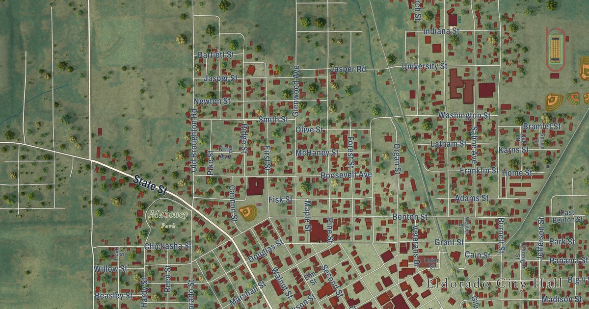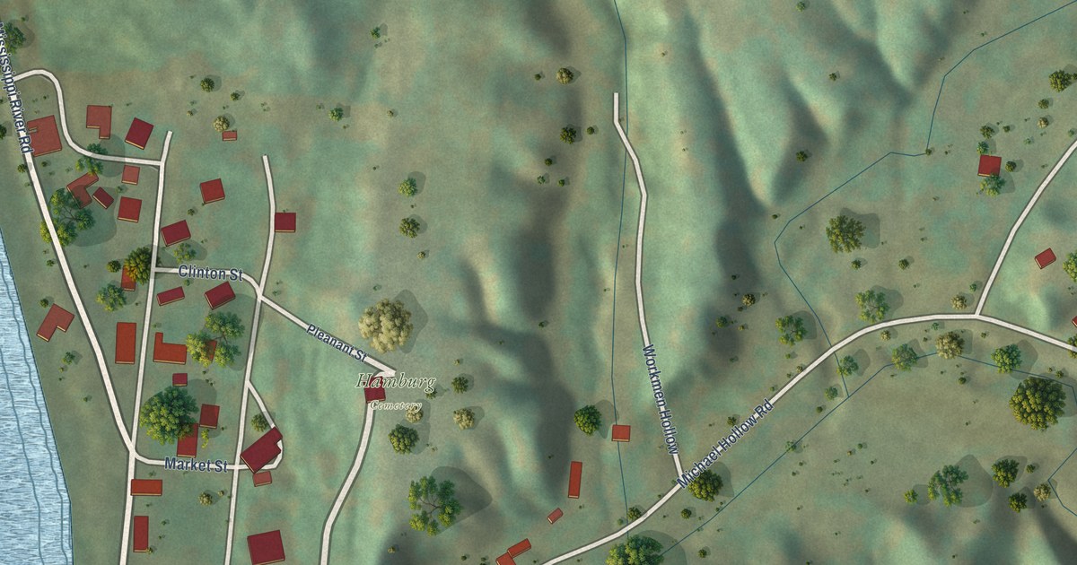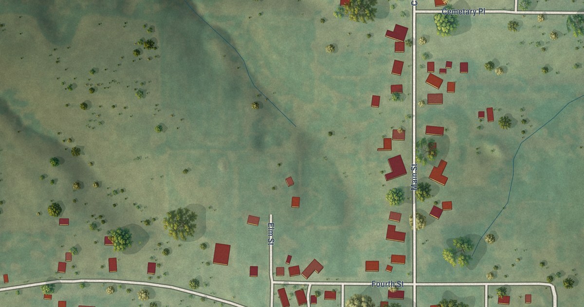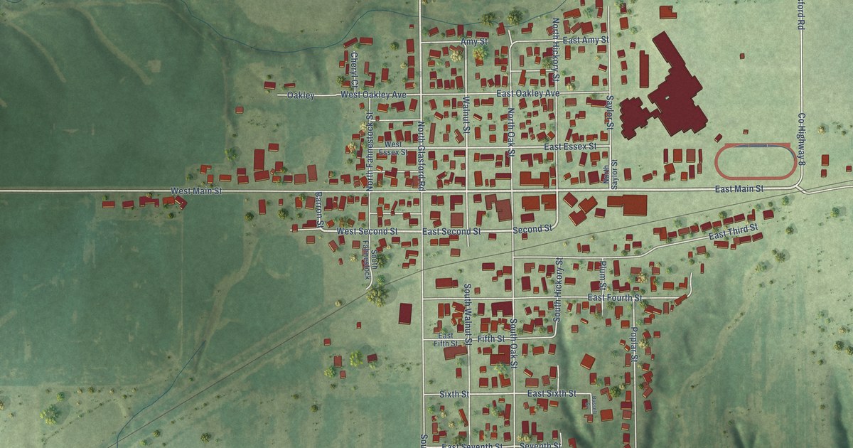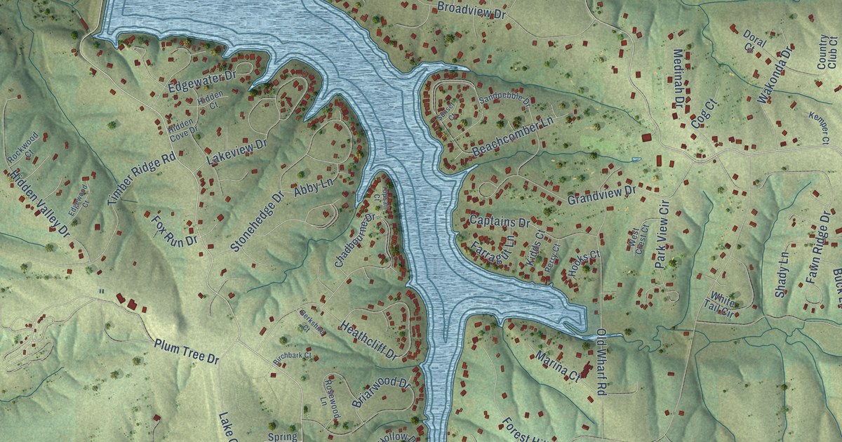
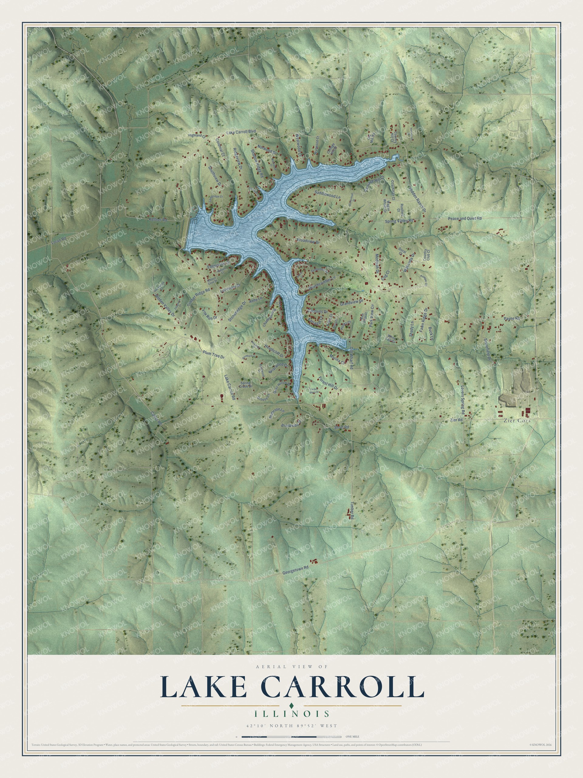
This beautifully detailed map of Lake Carroll, Illinois was created in 2026 using aerial imagery combined with modern topographical, census, street and landmark data. It’s a one-of-a-kind view of Lake Carroll that combines accurate data with a vintage aesthetic. The map shows every building in its true location, many of the roads carry their names, and the shaded topographic relief shows the shape of the land.
Explore an aerial view of Lake Carroll, Illinois
On the map you’ll find Zier Cors, along with Lake Carroll Boulevard, Carter Road, Zier Road, Peace and Quiet Road, Spring Valley Road, Loran Road, Timber Road, Heathcliff Drive, Georgetown Road, Fawn Ridge Drive, Beachcomber Lane, and more. If you look closely you can even find your house accurately drawn in its correct location. Zoom in on the preview to look for yours.
Did You Know?
Plans for Lake Carroll began in 1971, and building started in 1972. The site was chosen for its peaceful, gently rolling hills and valleys in the foothills of the Driftless region. Once filled, the lake spread over 640 acres, fed by a 14,426-acre watershed with nearly seven miles of streams. The community even runs its own fish hatchery. Adult walleye are collected and spawned each spring, and the young fish are raised in ponds before they go back into the lake in the fall. That's from the Lake Carroll Association.
Take a closer look at the Lake Carroll map
Names on this map
These names are printed on this map.
Places: Zier Cors.
Streets and roads: Lake Carroll Boulevard, Carter Road, Zier Road, Peace and Quiet Road, Spring Valley Road, Loran Road, Timber Road, Heathcliff Drive, Georgetown Road, Fawn Ridge Drive, Beachcomber Lane, Keltner Road.
More street names, A to Z
Abby Lane, Berkshire Court, Birchbark Court, Blackwood Court, Briarwood Drive, Broadview Drive, Brookside Drive, Buck Lane, Cambridge Court, Captains Drive, Carriage Hill Court, Chadbourne Drive, Coachman Court, Cog Court, Colonial Court, Conover Court, Cottage Hill Drive, Country Club Court, Country Hill Court, Doral Court, Edgewater Drive, Edgewood Court, Farragut Lane, Forest Hill Drive, Fox Run Drive, Grandview Drive, Grouse Lane, Hidden Court, Hidden Cove Drive, Hidden Ranch Drive, Hidden Valley Drive, Highland Court, Homewood Drive, Hooks Court, Kemper Court, Kidds Court, Lake Carroll Road, Lakeview Drive, Lovers Spring Road, Marina Court, Medinah Drive, Norwood Drive, Old Mill Road, Old Wharf Road, Park View Circle, Payne Road, Perry Court, Plum Tree Drive, Primrose Lane, Quail Hollow Drive, Ridgeview Drive, Rockwood Court, Rosewood Lane, Rustlers Court, Saddlewood Lane, Sandpebble Drive, Shadow Ridge Road, Shady Lane, Shenandoah Drive, Short Road, Southview Drive, Spring Creek Drive, Stonefield Drive, Stonehedge Drive, Sunset Court, Timber Ridge Road, Timber Shore Drive, Topsail Court, Wagon Wheel Drive, Wakonda Drive, West Crest Court, Westwood Court, White Tail Circle, Wynwood Court.
See it on a wall
The Lake Carroll map as a framed print. Swipe for more.


This beautifully detailed map of Lake Carroll makes an attractive addition to your office, library, or den, and it can even be used to teach children the geography and history of the area. It also makes a great gift for anyone who grew up in Lake Carroll or moved away. When you’re done exploring, click here to get your copy of the Lake Carroll map.