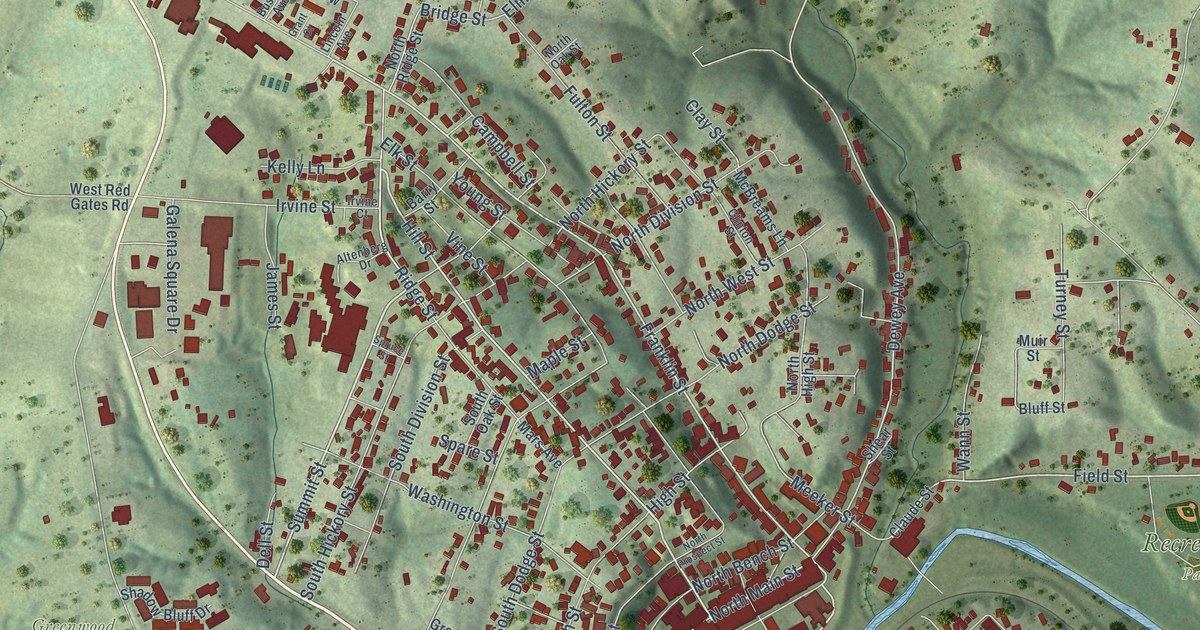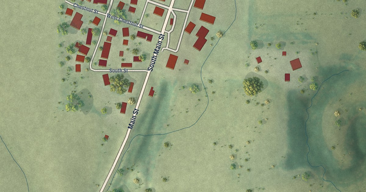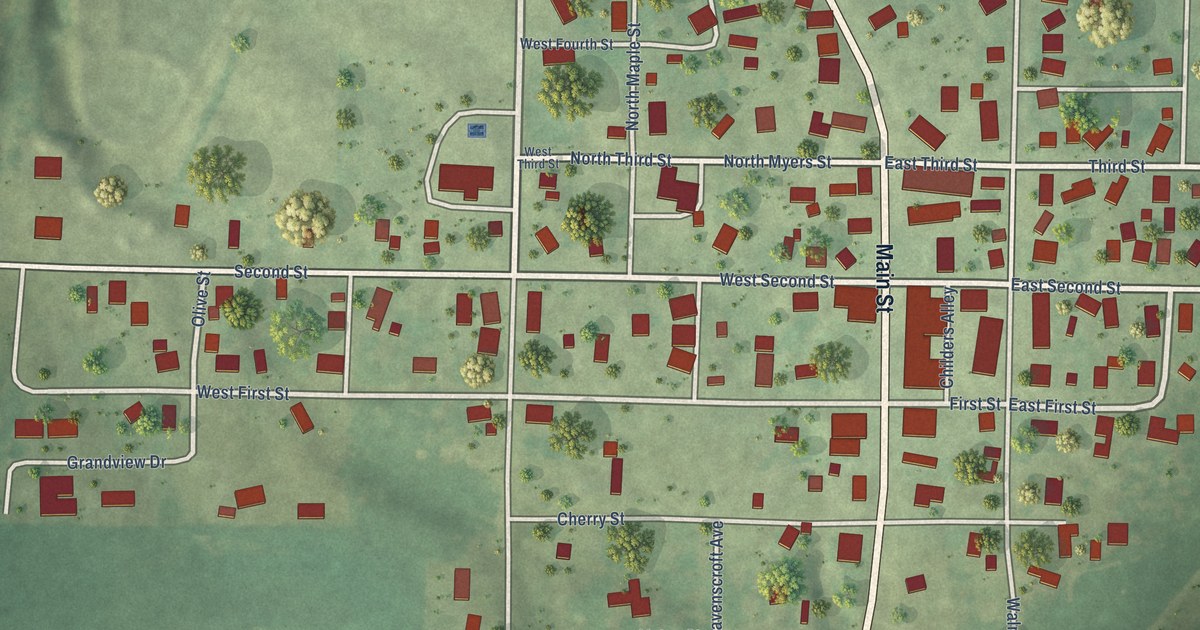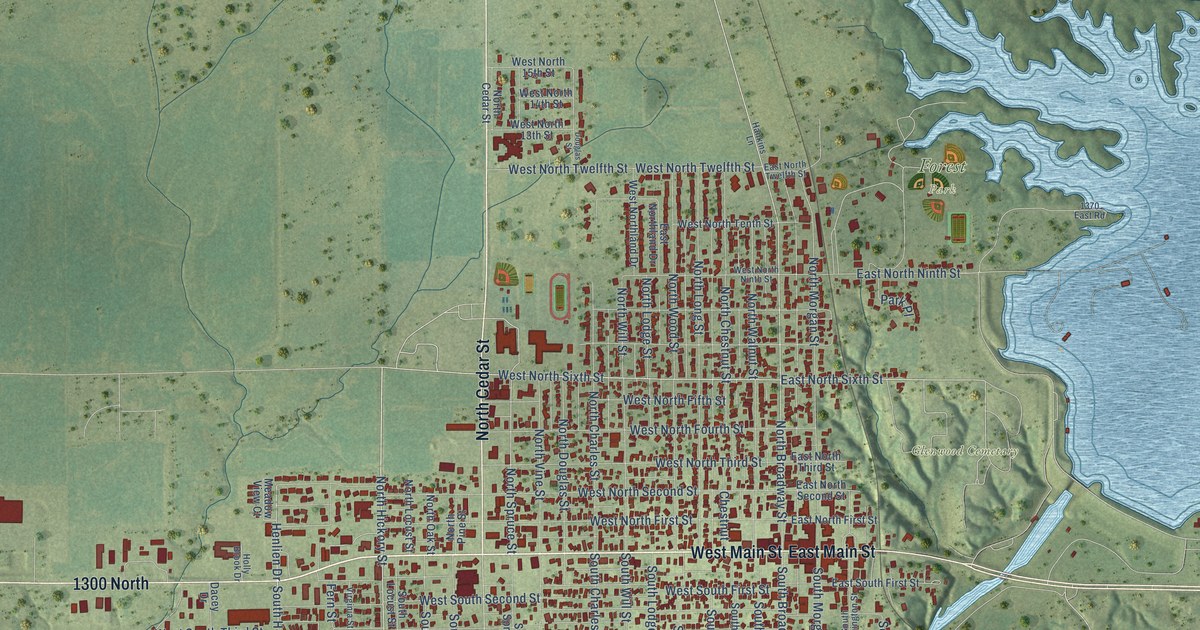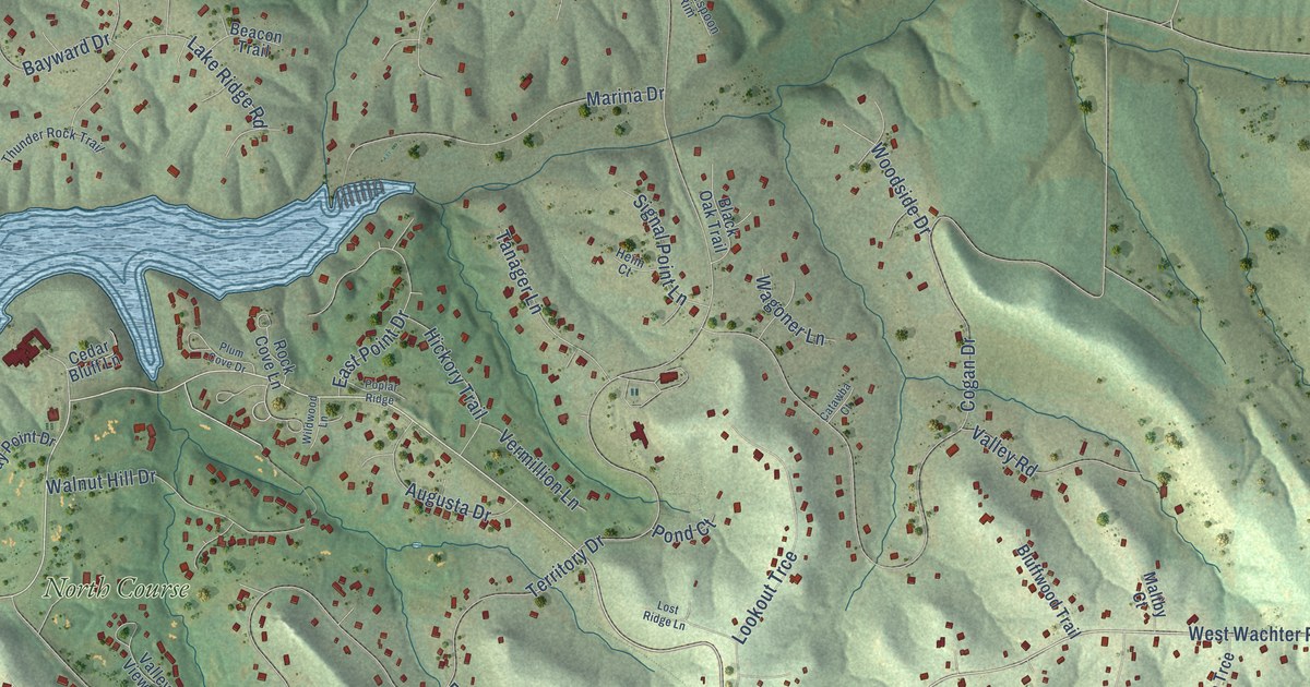
The Galena Territory is a community of 1,500 in Jo Daviess County, Illinois. This beautifully detailed map of The Galena Territory, Illinois was created in 2026 using aerial imagery combined with modern topographical, census, street and landmark data. It's a modern aerial view of The Galena Territory in Jo Daviess County, Illinois, that combines modern data with a vintage aesthetic. The roads feature printed names, and if you look closely you can find your exact house accurately shown in its correct location.
Explore an aerial view of The Galena Territory, Illinois
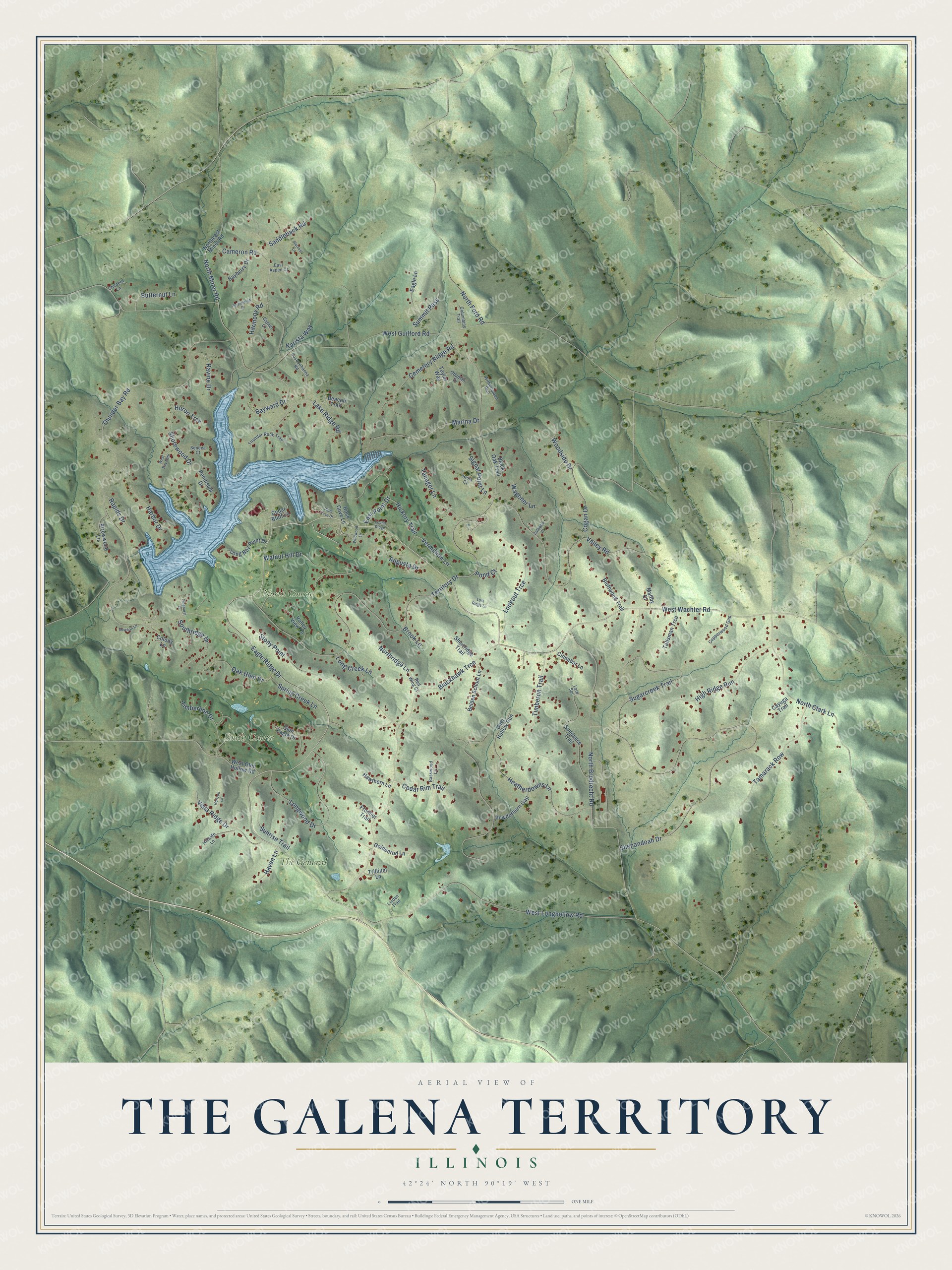
On this map you'll find North Course, South Course, The General, West Wachter Road, Eagle Ridge Drive, Territory Drive, Thunder Bay Road, West Guilford Road, Shenandoah Drive, North Clark Lane, Heatherdowns Lane, Blackhawk Trce, and more. Each red shape is a building, so zoom in on the preview and look for yours.
Here is a piece of The Galena Territory history. The Galena Territory began as the Small Pox Creek project, named for the creek dammed to make its lake. That name would not do in the ads, so in late 1972 the developers held an employee naming contest, then tested five names on 81 men and 79 women in shopping centers. The Galena Territory won, with a logo of the sun setting below the hills. The land came first from Bert Getz, who ran cattle on 4,800 acres in Jo Daviess County and agreed to sell the whole spread. Buying the rest, farm by farm, began in 1970. That's from the Galena Territory Association.
Take a closer look at The Galena Territory map
Names on this map
These names are printed on this map.
Places: North Course, South Course and The General.
Streets and roads: West Wachter Road, Eagle Ridge Drive, Territory Drive, Thunder Bay Road, West Guilford Road, Shenandoah Drive, North Clark Lane, Heatherdowns Lane, Blackhawk Trce, North Brodrecht Road, Cogan Drive, West Longhollow Road.
More street names, A to Z
Arrowwood Lane, Augusta Drive, Basswood Lane, Bayberry Drive, Bayward Drive, Beacon Trail, Belden School Lane, Black Oak Trail, Bluffwood Trail, Brook Lane, Butternut Lane, Cameron Road, Catawba Court, Cayuga Trail, Cedar Bluff Lane, Cedar Rim Trail, Cemetery Ridge Road, Cinnabar Lane, Colony Lane, Columbine Trail, Copperwood Gap, Deer Hollow Run, Eagle Lane, East Aspen Court, East Point Drive, Frontier Trail, Garnet Court, Glen Eagle Drive, Goldenrod Lane, Harbor Drive, Harmony Road, Harvest Lane, Haven Lane, Hawthorn Lane, Heim Court, Hickory Trail, High Ridge Run, Hillside Lane, Horizon Lane, Huron Trce, Karista Way, Lake Ridge Road, Lark Spr, Linden Trail, Long Bay Point Drive, Long Creek Lane, Longwood Drive, Lookout Trce, Lost Ridge Lane, Maltby Court, Marina Drive, Newhall Lane, Northeast Miner Road, North Ford Road, North Miner Road, Northridge Lane, Oak Glen Drive, Obadiah Drive, Peninsula Drive, Persimmon Drive, Pinehurst Court, Plum Cove Drive, Pond Court, Poplar Ridge, Powderhorn Gap, Rapids Drive, Ravine Drive, Red Wing Court, Rock Cove Lane, Saddleback Road, Seneca Court, Sheperd Lane, Shorewood Drive, Shortridge Trail, Signal Point Lane, Southridge Drive, Spring Creek Lane, Stony Point, Sugarcreek Trail, Summit Pass, Sundance Trail, Sunrise Trail, Susquehanna Road, Talisman Trce, Tamarack Row, Tanager Lane, Taylor Way, Thunder Rock Trail, Timberline Drive, Timberon Trail, Trillium Lane, Valley Road, Valley View Lane, Vermillion Lane, Vista Ridge Drive, Wagoner Lane, Walnut Hill Drive, West Bay Path, West Glen Hollow Road, Wildwood Lane, Witherspoon Rim, Woodside Drive.
See it on a wall
The The Galena Territory map as a framed print. Swipe for more.


Created by KNOWOL in 2026. The buildings are small red shapes, the roads carry their printed names, and shaded relief shows the shape of the land. The title panel reads "AERIAL VIEW OF THE GALENA TERRITORY, ILLINOIS" with 42°24' NORTH 90°19' WEST.
It suits a den, a classroom or a front hall, and it makes a gift for anyone with The Galena Territory roots. Open the preview and find the block you know. See sizes and frames for The Galena Territory map.