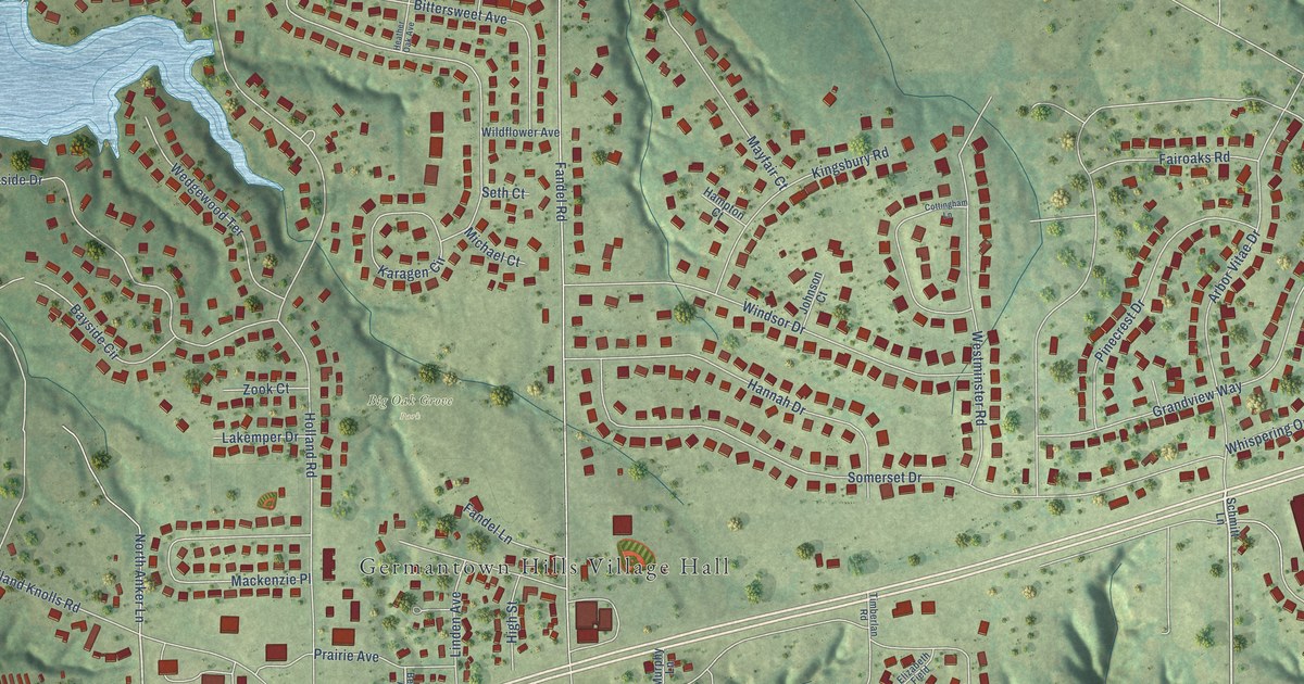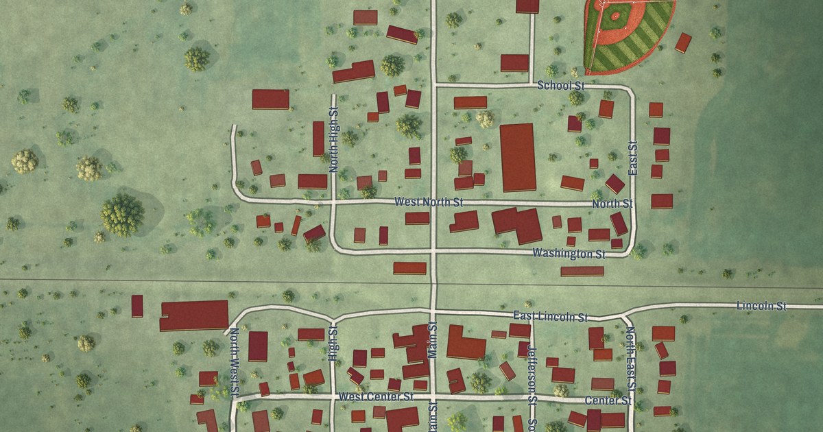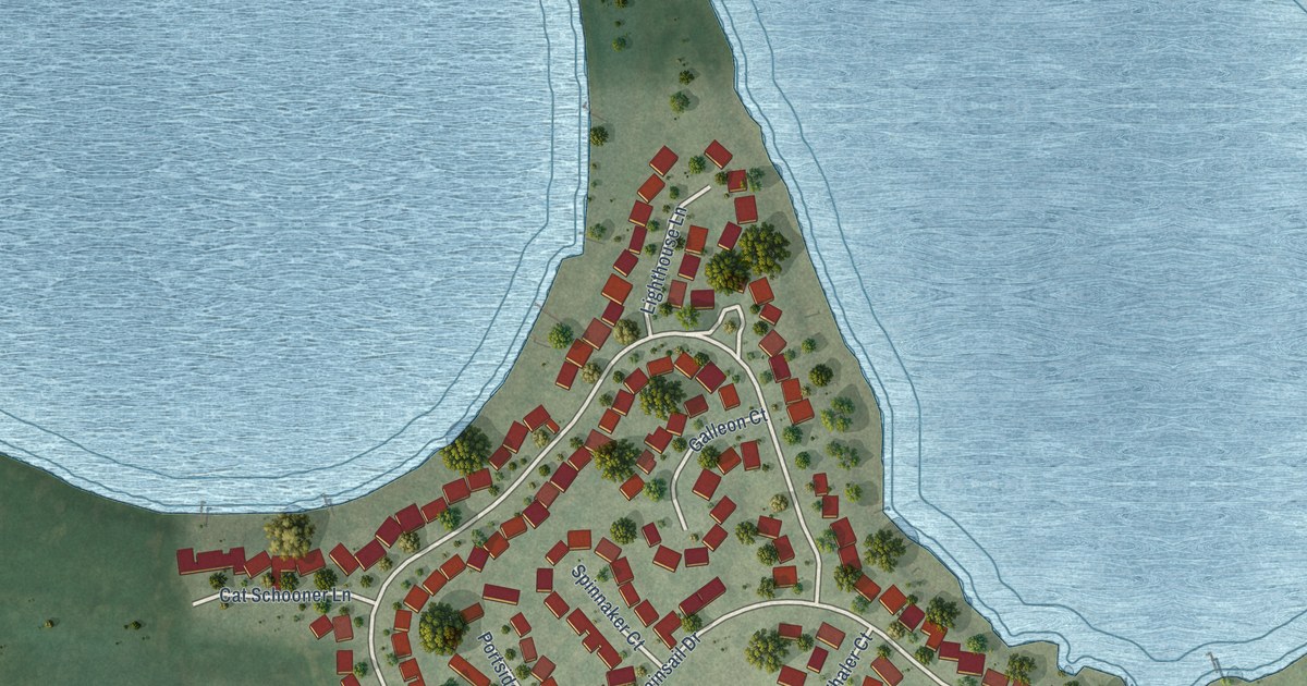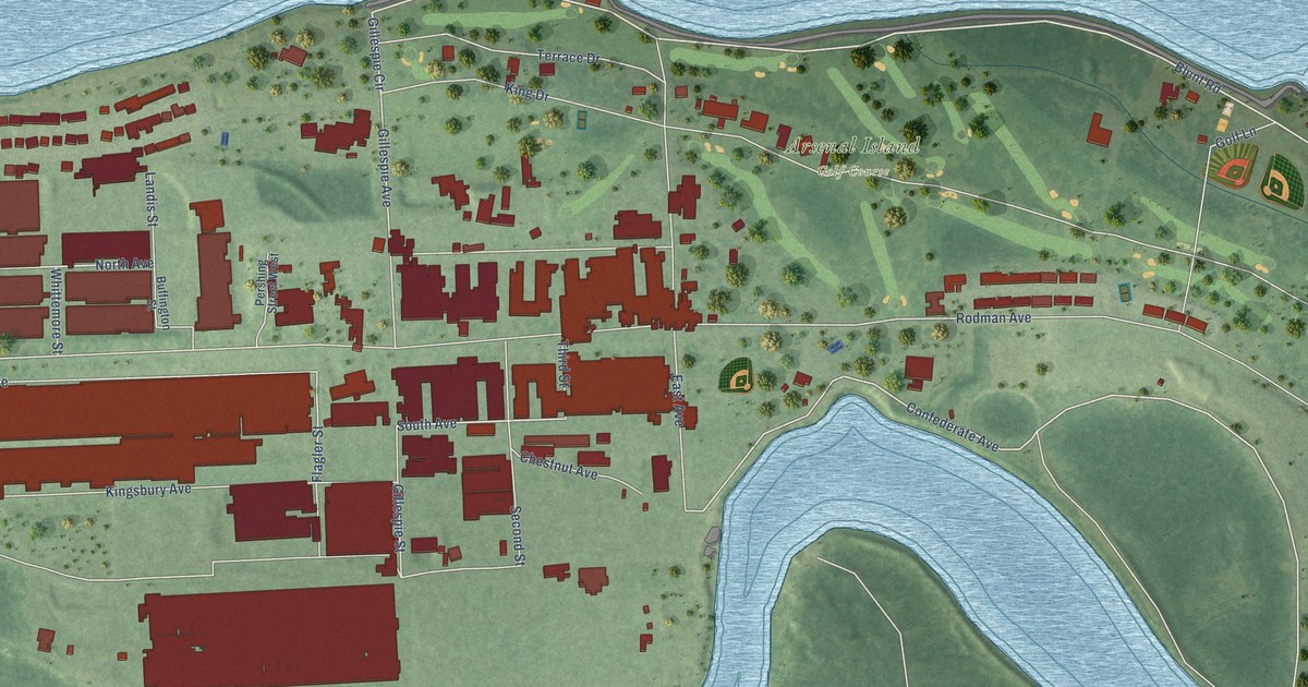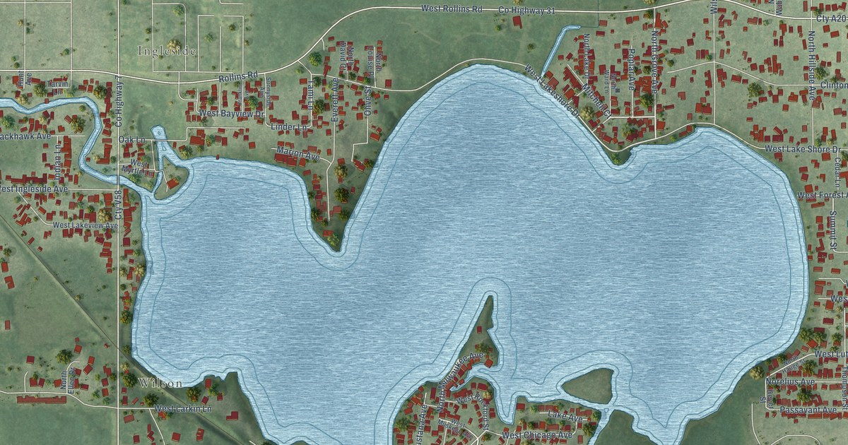
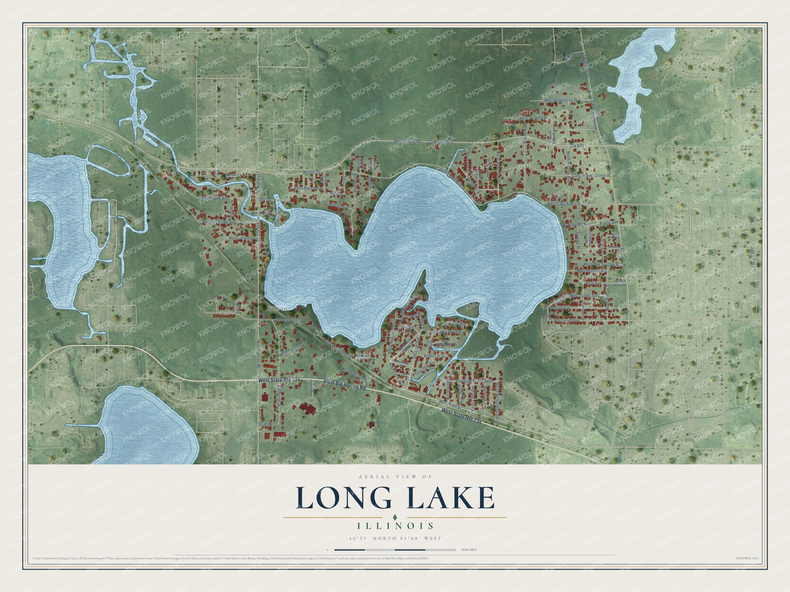
This beautifully detailed map of Long Lake, Illinois was created in 2026 using aerial imagery combined with modern topographical, census, street and landmark data. It's a modern aerial view of Long Lake in Lake County, Illinois, that combines modern data with a vintage aesthetic. The roads feature printed names, and if you look closely you can find your exact house accurately shown in its correct location.
Explore an aerial view of Long Lake, Illinois
On this map you'll find Ingleside, Wilson, West Big Hollow Road, West Main Street, North Grove Avenue, Mitchell Court, Decorah Avenue, West Rollins Road, West Lakeshore Drive, West Luther Avenue, West Chicago Avenue, Co Highway 31, and more. Each red shape is a building, so zoom in on the preview and look for yours.
Long Lake is a community in Lake County. The Census Bureau counted 3,663 people here in 2020. The map prints the town name in its title panel, with the coordinates below it.
Take a closer look at the Long Lake map
Names on this map
These names are printed on this map.
Places: Ingleside and Wilson.
Streets and roads: West State Route 134, West Big Hollow Road, West Main Street, North Grove Avenue, Mitchell Court, Decorah Avenue, West Rollins Road, West Lakeshore Drive, West Luther Avenue, West Chicago Avenue, County Highway 31, Cty A20.
More street names, A to Z
Anderson Street, Augustana Avenue, Augustana Court, Blackhawk Avenue, Catherine Street, Cedar Lane, Clinton Avenue, Clinton Street, County Highway 7, County Highway 49, Cty V58, Cty V61, Everett Avenue, Fairfield Road, Forest Avenue, Franklin Avenue, Fretheim, Fretheim Street, Graham Court, Heyer Street, Hickory Street, Hunt Avenue, Indian Lane, Lake Avenue, Linder Lane, Madison Street, Marion Avenue, Norelius Avenue, North Augustana Avenue, North David Court, North Ellen Drive, North Fairfield Road, North Gerberding Avenue, North Hauge Street, North Hickory Lane, North Hillside Avenue, North Holman Avenue, North James Avenue, North Lake Drive, North Long Avenue, North Louise Place, North Milwaukee Avenue, North Nelson Street, North Nielsen Drive, North Oden Avenue, North Rock Island Street, North Wabash Avenue, North Ward Lane, North Wilson Road, Oakland Drive, Oak Lane, Oak Street, Olive Street, Passavant Avenue, Peterson Avenue, Poplar Avenue, Racine Avenue, Rollins Road, Saint Olaf Avenue, Stub Avenue, Summit Street, Sunnyside Avenue, Tami Lane, Tarvin Lane, Thompson Street, West Bayview Drive, West Brorson Avenue, West Forest Avenue, West Hawthorne Drive, West Hilltop Drive, West Ingleside Avenue, West Lake Shore Drive, West Lakeview Avenue, West Larkin Lane, West Long Beach Drive, West Muskego Avenue, West Myrtle Lane, West Oakland Drive, West Oak Street, West Orchard Place, West Poplar Street, West Rockford Street, West South Avenue, West Stoughton Street, West Stub Avenue, West Venetian Drive, Wilson Boulevard.
See it on a wall
The Long Lake map as a framed print. Swipe for more.


Created by KNOWOL in 2026. The buildings are small red shapes, the roads carry their printed names, and shaded relief shows the shape of the land. The title panel reads "AERIAL VIEW OF LONG LAKE, ILLINOIS" with 42°23' NORTH 88°08' WEST.
Hang it in the hallway, the office or the cabin, or give it to someone who left Long Lake and still calls it home. Open the preview and look for a street you know. See sizes and frames for the Long Lake map.