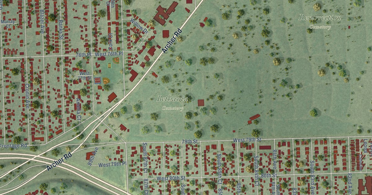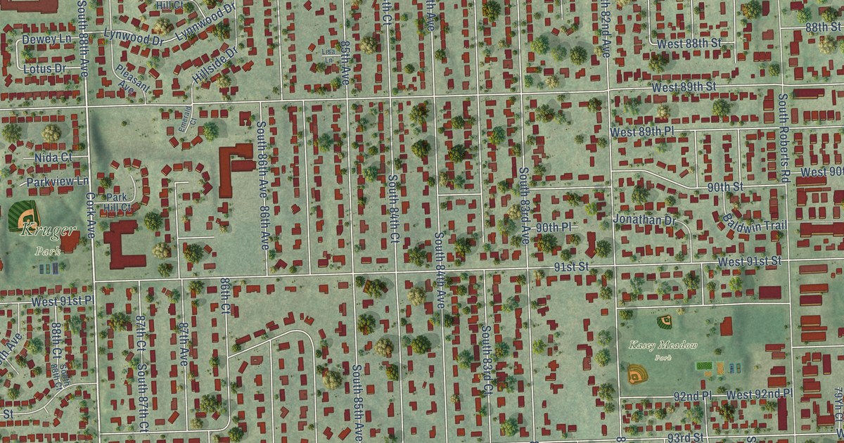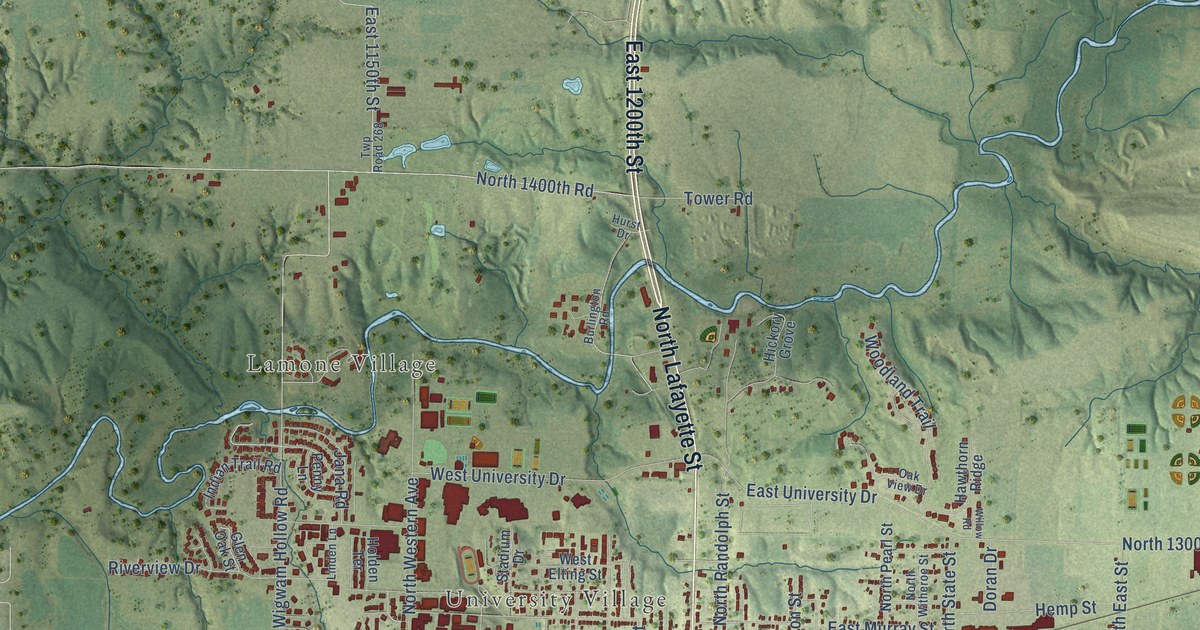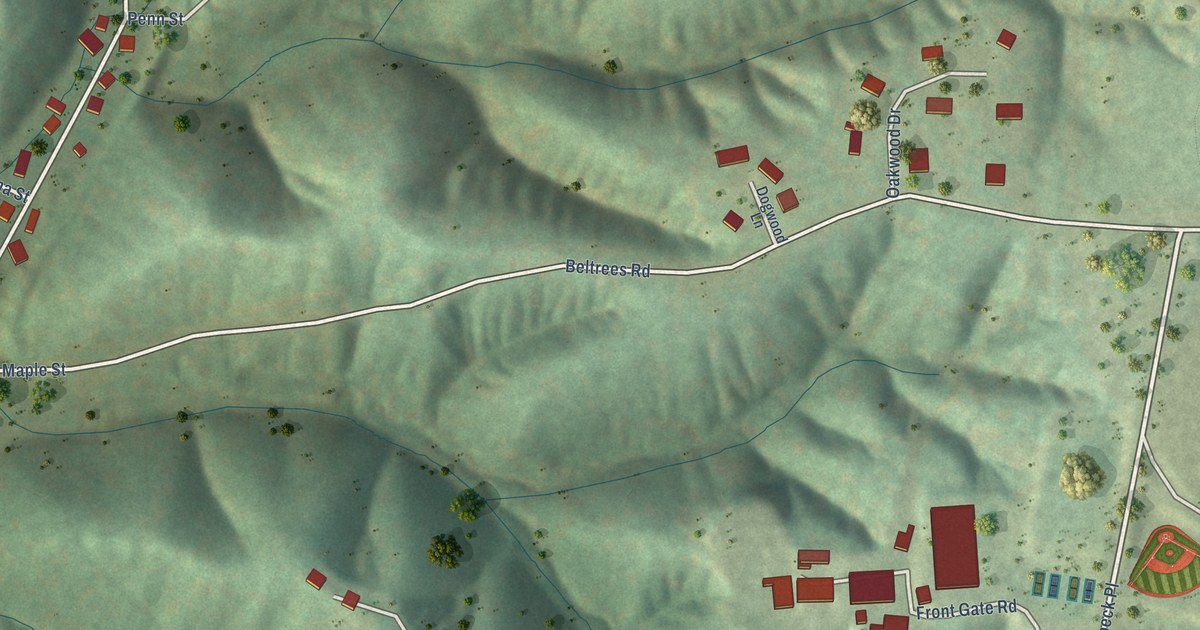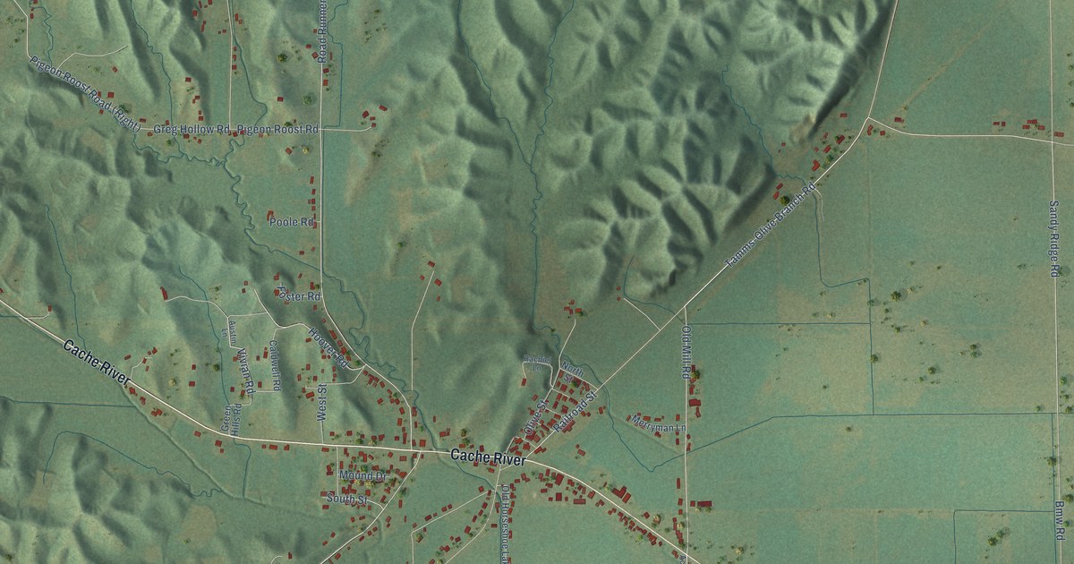
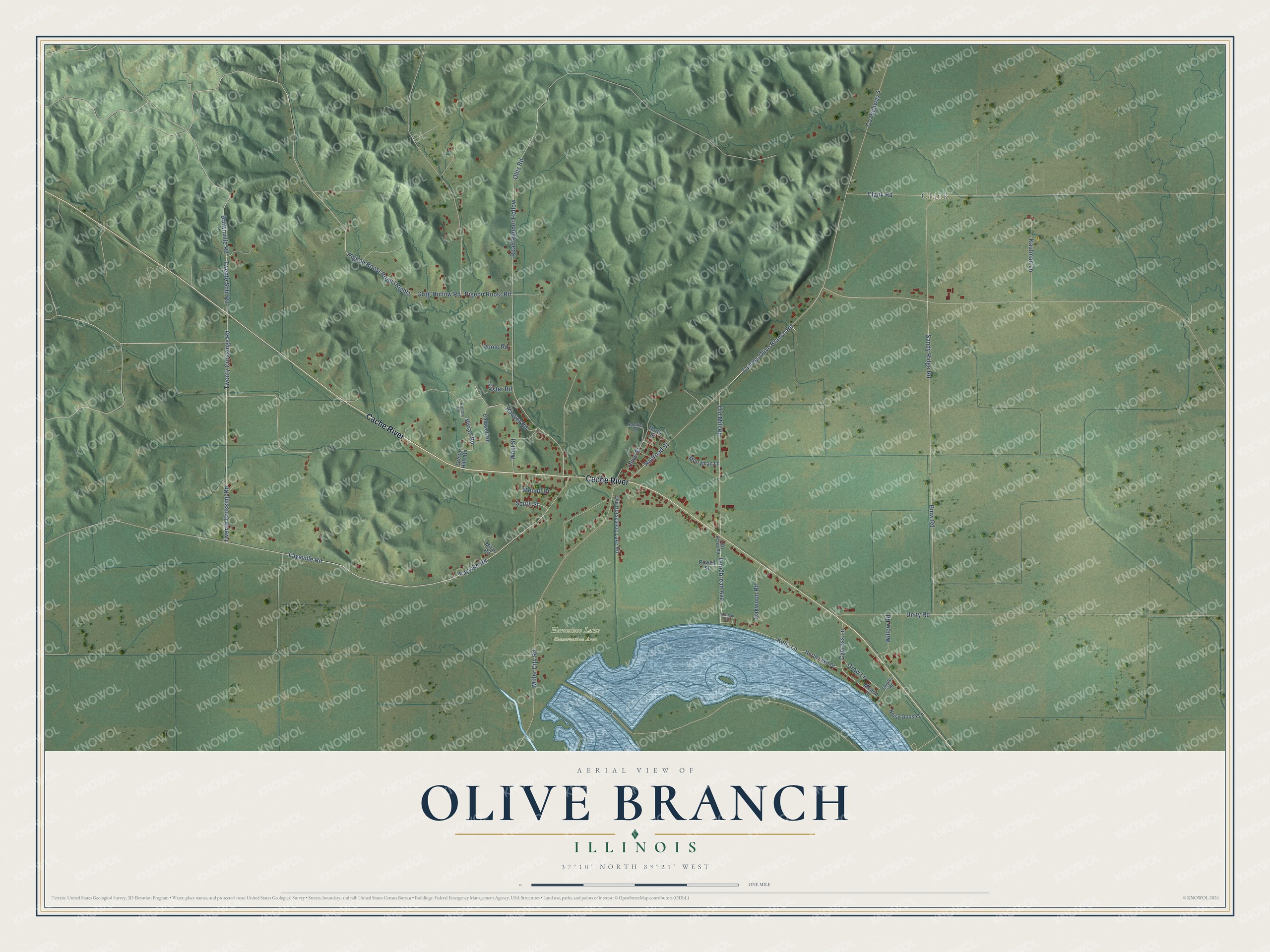
This beautifully detailed map of Olive Branch, Illinois was created in 2026 using aerial imagery combined with modern topographical, census, street and landmark data. It's a modern aerial view of Olive Branch in Alexander County, Illinois, that combines modern data with a vintage aesthetic. The roads feature printed names, and if you look closely you can find your exact house accurately shown in its correct location.
Explore an aerial view of Olive Branch, Illinois
On this map you'll find Clank, Horseshoe Lake Conservation Area, Cache River, Twente Crossing Road, Twenty Crossings Road, Fayeville Road, Sandy Ridge Road, Tamms-Olive Branch Road, Old Mill Road, Goodbread Avenue, Railroad Street, Fayville Road, and more. Each red shape is a building, so zoom in on the preview and look for yours.
Every town has a first chapter, and Olive Branch is no exception. In the 1950s goose hunters said they were going to Cairo, but the hunting was really around Olive Branch and Miller City, in the fields surrounding the Horseshoe Lake refuge. In those days the area was known as the Goose Capital of the World. Canada geese had once wintered on sandbars in the river. After the state bought most of the lake and its island in the 1920s, the geese gathered there for the calm water and plentiful food. That's from the Wildfowl Magazine.
Olive Branch is a community in Alexander County. The Census Bureau counted 650 people here in 2020.
Take a closer look at the Olive Branch map
Names on this map
These names are printed on this map.
Places: Clank and Horseshoe Lake Conservation Area.
Streets and roads: Cache River, Twente Crossing Road, Twenty Crossings Road, Fayeville Road, Sandy Ridge Road, Tamms-Olive Branch Road, Old Mill Road, Goodbread Avenue, Railroad Street, Fayville Road, Twente Schl Road, Vivian Road.
More street names, A to Z
Austin Lane, Bmw Road, Brownville Road, Caldwell Road, Clank Road, County Highway 4, Cypress Lane, Foster Road, Graw Lane, Green Hills Road, Greg Hollow Road, Hoover Road, Kaufman Lane, Kelly Lane, Lost Acres Road, Melton Drive, Merryman Lane, Milar Road, Miller City Road, Morgan Avenue, Mound Drive, Noisy Goose Lane, North Lake Drive, North Street, Oakwood Road, Old Horseshoe Lake Road, Olive Street, Ollis Road, Pigeon Roost Road, Poole Road, Powell Street, Rachiel Lane, Road Runner Hollow, Shipley Road, South Street, Unity Road, West Street, Willow Road.
See it on a wall
The Olive Branch map as a framed print. Swipe for more.


Created by KNOWOL in 2026. The buildings are small red shapes, the roads carry their printed names, and shaded relief shows the shape of the land. The title panel reads "AERIAL VIEW OF OLIVE BRANCH, ILLINOIS" with 37°10' NORTH 89°21' WEST.
Hang it in the hallway, the office or the cabin, or give it to someone who left Olive Branch and still calls it home. Open the preview and look for a street you know. See sizes and frames for the Olive Branch map.