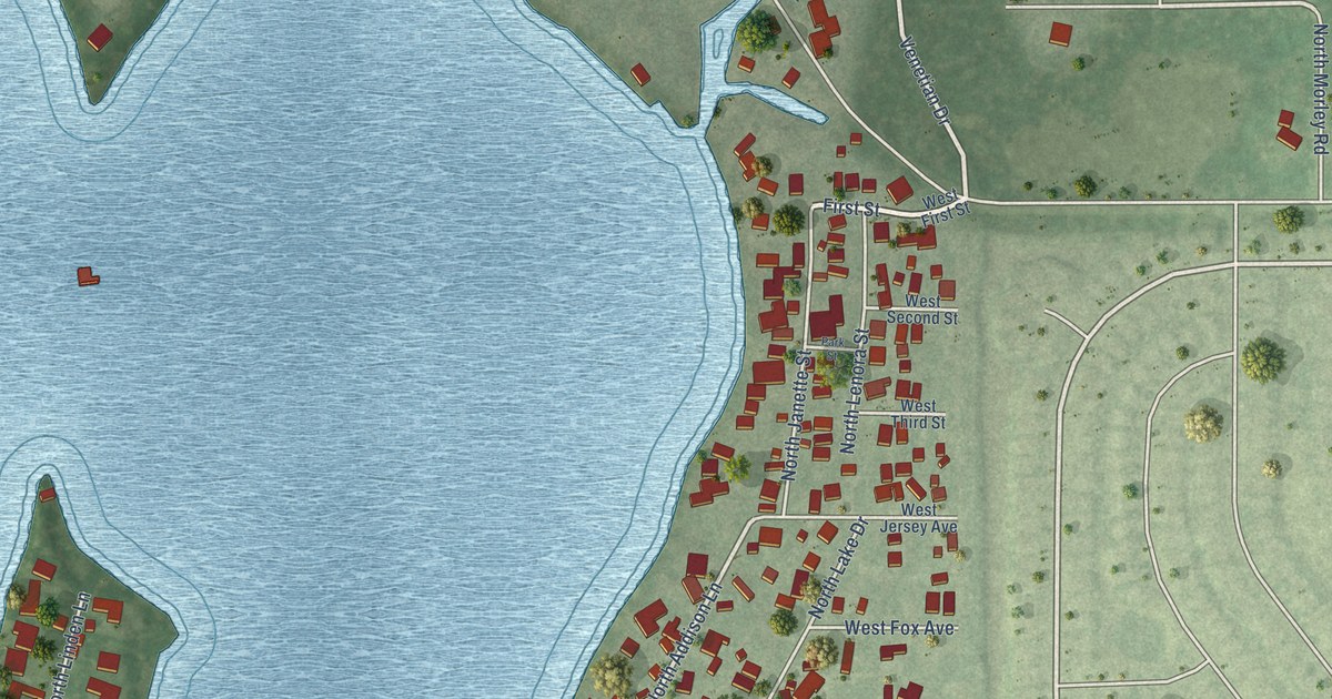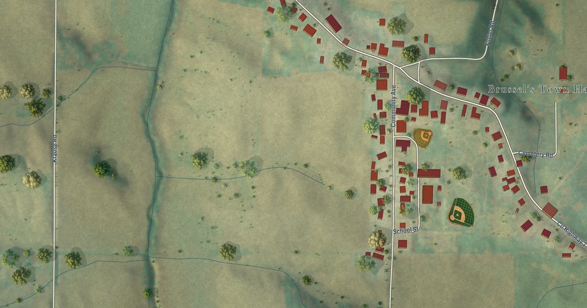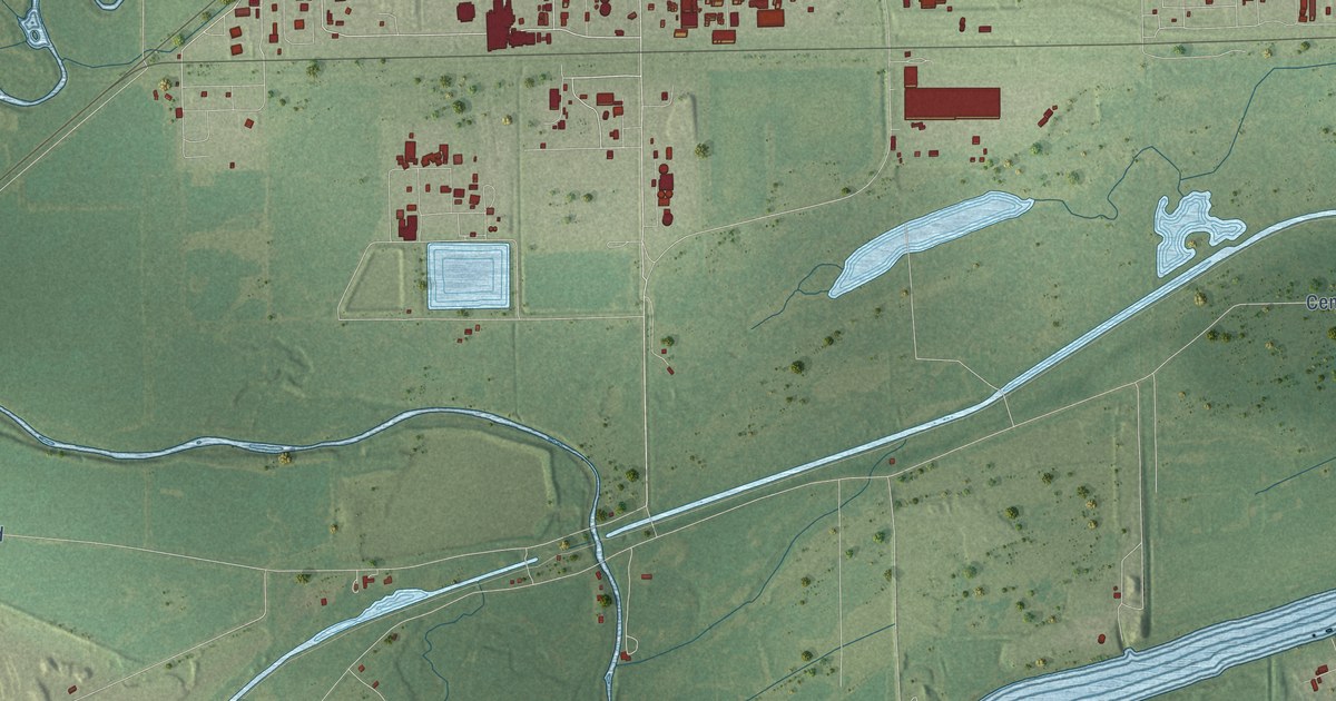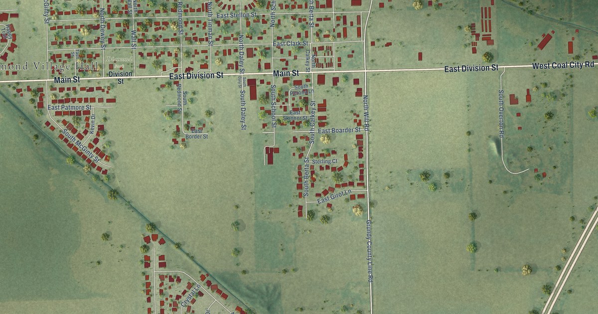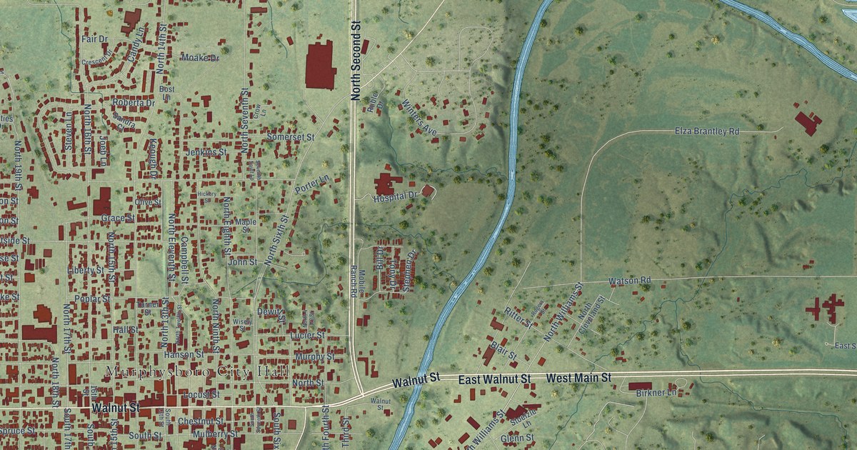
This beautifully detailed map of Murphysboro, Illinois was created in 2026 using aerial imagery combined with modern topographical, census, street and landmark data. It’s a one-of-a-kind view of Murphysboro that combines accurate data with a vintage aesthetic. The map shows every building in its true location, many of the roads carry their names, and the shaded topographic relief shows the shape of the land.
Explore an aerial view of Murphysboro, Illinois
On the map you’ll find Murphysboro City Hall, Texas Junction, and Tower Grove Cemetery, along with West Main Street, Bridge Street, Walnut Street, North Second Street, East Walnut Street, South Fifth Street, South Williams Street, Old Brick Road, North Williams Street, and more. If you look closely you can even find your house accurately drawn in its correct location. Zoom in on the preview to look for yours.
Did you know this piece of Murphysboro, Illinois history?
From the National Register of Historic Places: "The grand architecture of the Jackson County Courthouse was seen by Murphysboro residents and southern Illinois in general, as a symbol of rebirth, community pride, success, and hope for the future after the devastating 1925 Tri-State tornado."
Take a closer look at the Murphysboro map
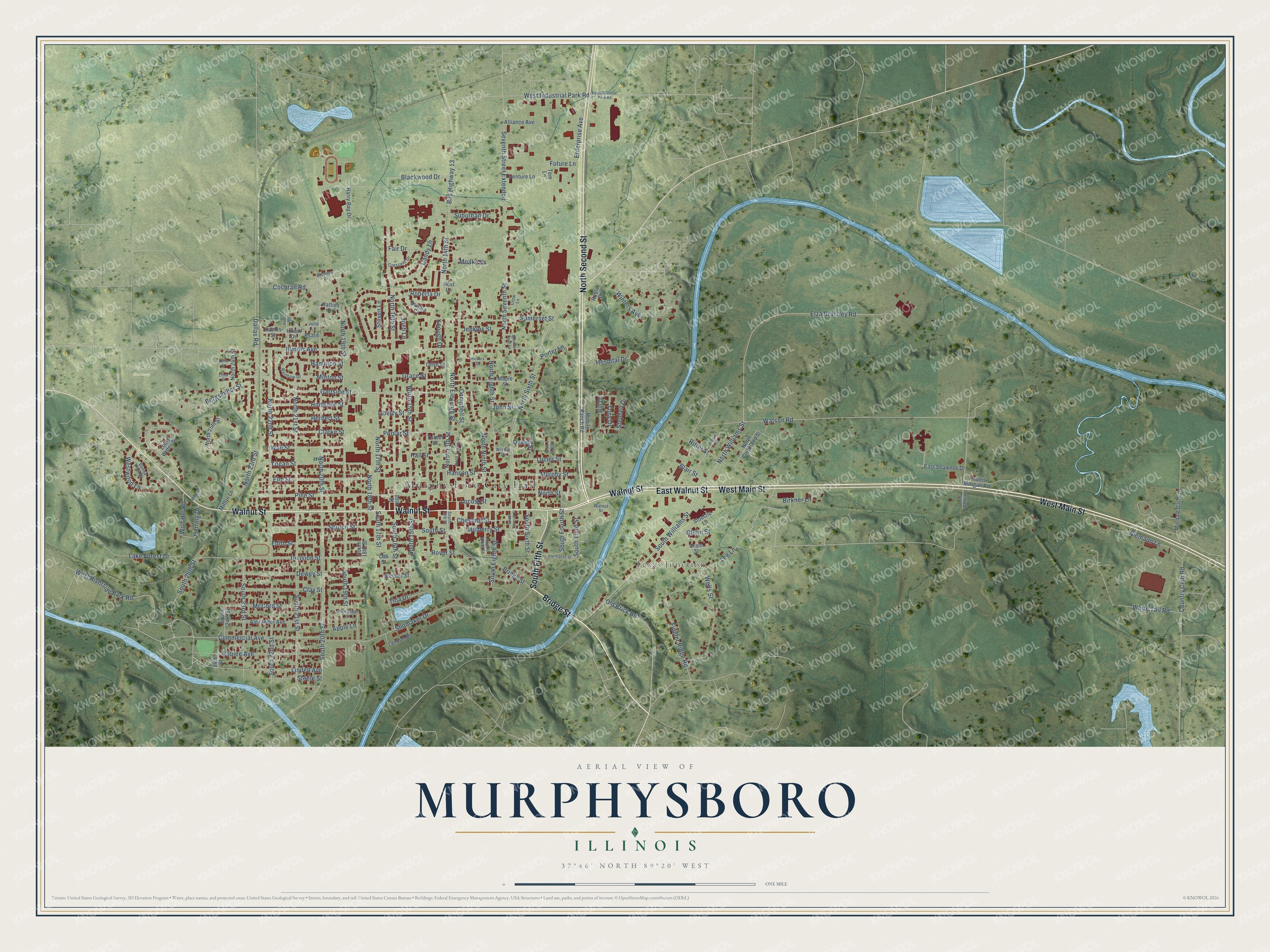
Street and place names on the Murphysboro, Illinois map
These names are printed on the map of Murphysboro, Illinois.
Places: Murphysboro City Hall, Texas Junction and Tower Grove Cemetery.
Streets and roads: West Main Street, Bridge Street, Walnut Street, North Second Street, East Walnut Street, South Fifth Street, South Williams Street, Old Brick Road, North Williams Street, North Sixth Street, Elza Brantley Road, North 20th Street.
More street names, A to Z
16th Street, 24th Street, Alexander Avenue, Alexander Street, Alliance Avenue, Apple Lane, Bill Drive, Birkner Lane, Bishops Drive, Blackwood Drive, Blair Street, Borgsmiller Street, Bost Lane, Buena Vista Drive, Bus Highway 13, Campbell Street, Candy Lane, Chestnut Street, Clarke Street, Clay Street, Cochran Road, Commercial Avenue, Country Club Road, Crain Street, Crescent Drive, Crow Lane, Dallas Road, Dewey Street, Dewitt Street, Division Street, Doris Street, East Industrial Park Road, East Shawnee Drive, Edith Street, Edith Walsh Road, Elm Street, Enterprise Avenue, Fair Drive, Fiddler Ridge Road, Future Lane, Gartside Street, Glenn Street, Grace Street, Hall Street, Hamilton Street, Hanna Road, Hanson Street, Harry Ray Drive, Hatties Drive, Herbert Street, Herring Drive, Hickory Street, Hikon Drive, Hortense Street, Hospital Drive, Illinois Avenue, Jenkins Street, Joeb Lane, John Street, Julia Lane, Keough Drive, Lake Forest Drive, Landon Drive, Lee Lane, Liberty Street, Linda Street, Lindell Avenue, Locust Street, Logan Street, Louis Wides Drive, Lucier Street, Maple Street, McCord Street, Mifflin Lane, Minton Street, Moake Drive, Mobile Ranch Road, Morgan Drive, Mulberry Street, Murdale Gardens, Murphy Street, Niemann Lane, North 13th Street, North 14th Street, North 15th Street, North 16th Street, North 17th Street, North 18th Street, North 19th Street, North 21st Street, North 22nd Street, North 23rd Street, North 24th Street, North 25th Street, North Cleveland Street, North Eighth Street, North Eleventh Street, North Ninth Street, North Seventh Street, North Street, North Twelfth Street, Oak Street, Old Tracks Street, Olive Street, Pine Street, Poplar Street, Porter Lane, Psalm, Rainbow Drive, Raines Street, Ritter Street, Roberta Drive, Robert Morgan Road, Roblee Avenue, Rogers Street, Rover Street, Ruble Drive, Sandra Court, Seventh Saint Lp, Seventh Street Extended, Shomaker Drive, Somerset Street, South 13th Street, South 15th Street, South 16th Street, South 17th Street, South 18th Street, South 19th Street, South 20th Street, South 21st Street, South 22nd Street, South 23rd Street, South 24th Street, South 26th Street, South Eighth Street, South Fourth Street, South Ninth Street, South Seventh Street, South Sixth Street, South Street, South Third Street, Spruce Street, Stecher Street, Steele Street, Stephen Drive, Steven Lane, Stoelzle Lane, Suburban Drive, Tem Lane, Tina Drive, Tony Drive, Turner Street, Venture Lane, Wall Street, Watson Road, Wells Street, West Industrial Park Road, West Riverside Park Road, Westwood Lane, White Tail Road, Winters Avenue, Wisely Street, Wolf Hill Road.
See the Murphysboro, Illinois map on a wall
The Murphysboro map as an 18 x 24 inch print in a black frame.

This beautifully detailed map of Murphysboro makes an attractive addition to your office, library, or den, and it can even be used to teach children the geography and history of the area. It also makes a great gift for someone who left Murphysboro and still calls it home. When you’re done exploring, click here to get your copy of the Murphysboro map.