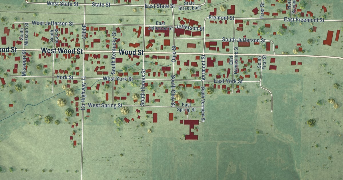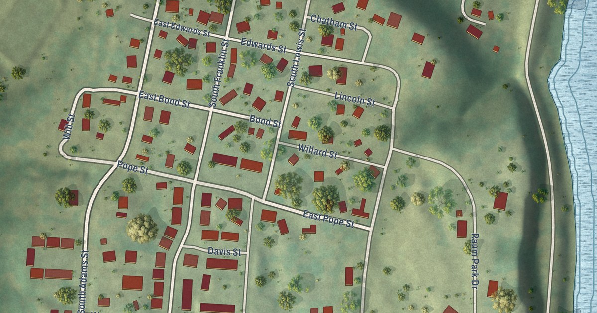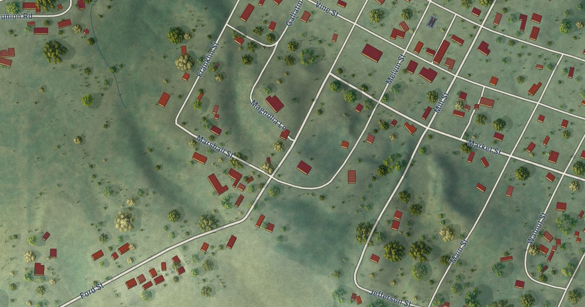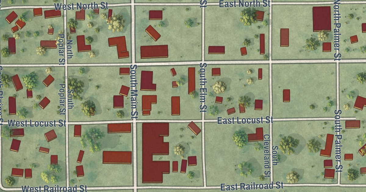
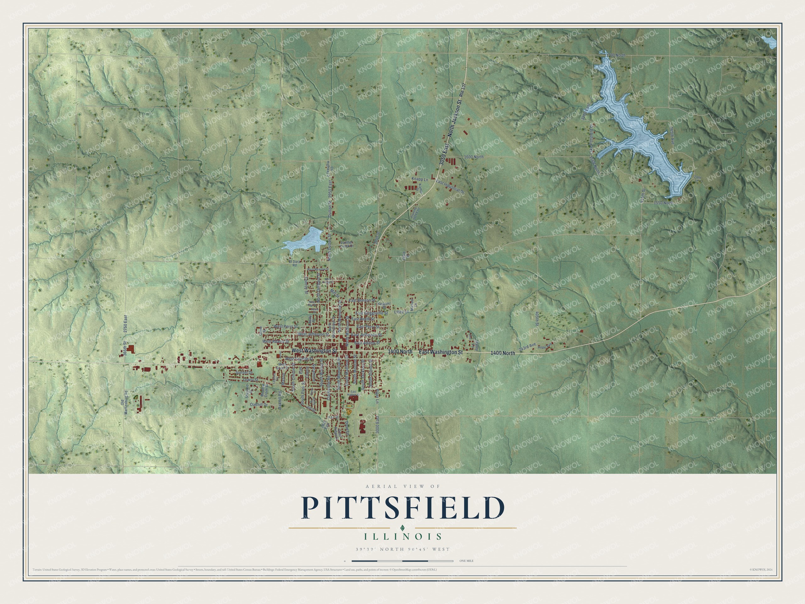
This beautifully detailed map of Pittsfield, Illinois was created in 2026 using aerial imagery combined with modern topographical, census, street and landmark data. It’s a one-of-a-kind view of Pittsfield that combines accurate data with a vintage aesthetic. The map shows every building in its true location, many of the roads carry their names, and the shaded topographic relief shows the shape of the land.
Explore an aerial view of Pittsfield, Illinois
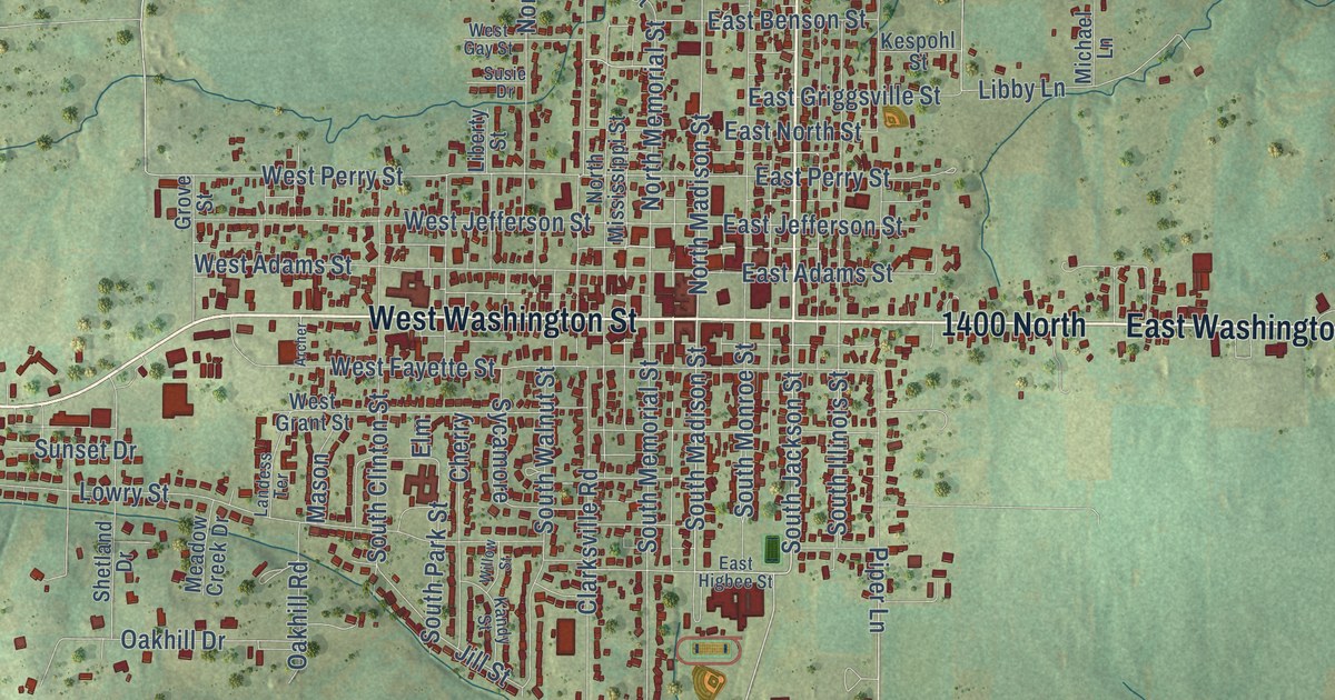
On the map you’ll find 1400 North, 3059 East, 1550 North, and 1568 North, along with North Jackson Street, West Washington Street, East Washington Street, South Jackson Street, South Madison Street, 265th Avenue, North Madison Street, 415th Street, and more. If you look closely you can even find your house accurately drawn in its correct location. Zoom in on the preview to look for yours.
Did you know this piece of Pittsfield, Illinois history?
From the Historical Marker Database: "Lake Pittsfield was built by the City of Pittsfield for water supply purposes as part of the Big Blue Creek Watershed."
Take a closer look at the Pittsfield map
Street names on the Pittsfield, Illinois map
These names are printed on the map of Pittsfield, Illinois.
Streets and roads: North Jackson Street, West Washington Street, 1400 North, 3059 East, East Washington Street, South Jackson Street, South Madison Street, 1550 North, 265th Avenue, North Madison Street, 415th Street, 1568 North.
More street names, A to Z
243rd Avenue, 258th Lane, 365th Street, 390th Street, 393rd Street, 405th Street, 1600 North, 1700 North, 2625 East, 2750 East, 2950 East, 3000 East, 3200 East, Archer, Cherry, Clarksville Road, Conroy Street, County Highway 3, Dove Lane, Dutton Street, East Adams Street, East Benson Street, East Griggsville Street, East Higbee Street, East Industrial Drive, East Jefferson Street, East North Street, East Perry Street, El Dara Road, Elm, Fair Street, Grove Street, Haney Lane, Hope Avenue, Janie Lane, Jill Street, Kamar Drive, Kandy Street, Kespohl Street, Knapp Lane, Lake Pittsfield Drive, Landess Terrace, Libby Lane, Liberty Street, Lowry Street, Mason, Meadow Creek Drive, Michael Lane, Mill Street, North Dutton Street, North Memorial Street, North Mississippi Street, North Orchard Street, Oakhill Drive, Oakhill Road, Old Martinsburg Road, Panther Creek Drive, Piper Lane, Ptwnshp 3026 East, Quail Ridge Drive, Route 107, Shetland Drive, South Clinton Street, South Illinois Street, South Memorial Street, South Monroe Street, South Park Street, South Walnut Street, Sunset Drive, Susie Drive, Sycamore, West Adams Street, West Fayette Street, West Gay Street, West Grant Street, West Jefferson Street, West Kellogg Street, West Meadow Street, West Perry Street, Willow Street.
See the Pittsfield, Illinois map on a wall
The Pittsfield map as an 18 x 24 inch print in a black frame.

This beautifully detailed map of Pittsfield makes an attractive addition to your office, library, or den, and it can even be used to teach children the geography and history of the area. It also makes a great gift for anyone with Pittsfield roots. When you’re done exploring, click here to get your copy of the Pittsfield map.