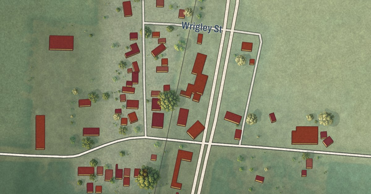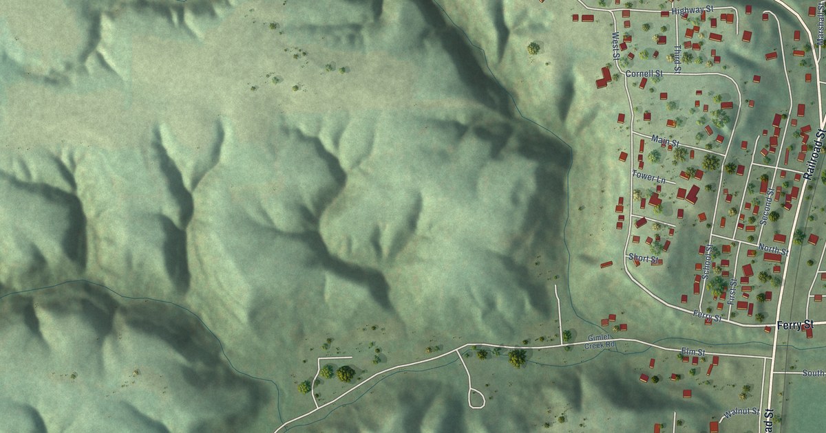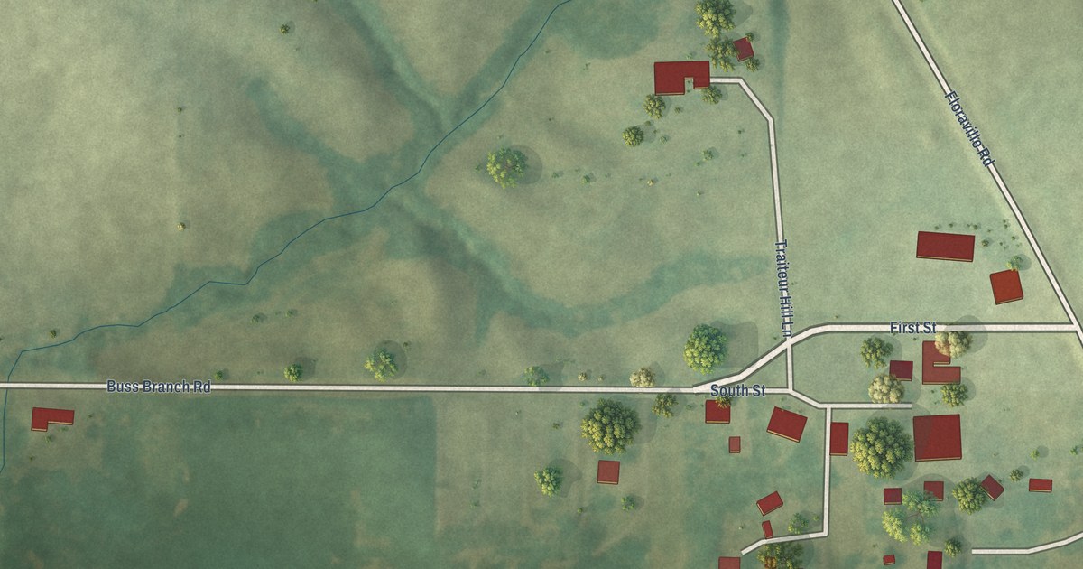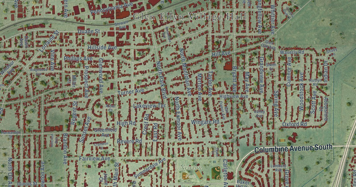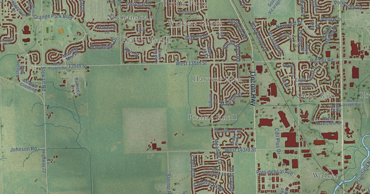
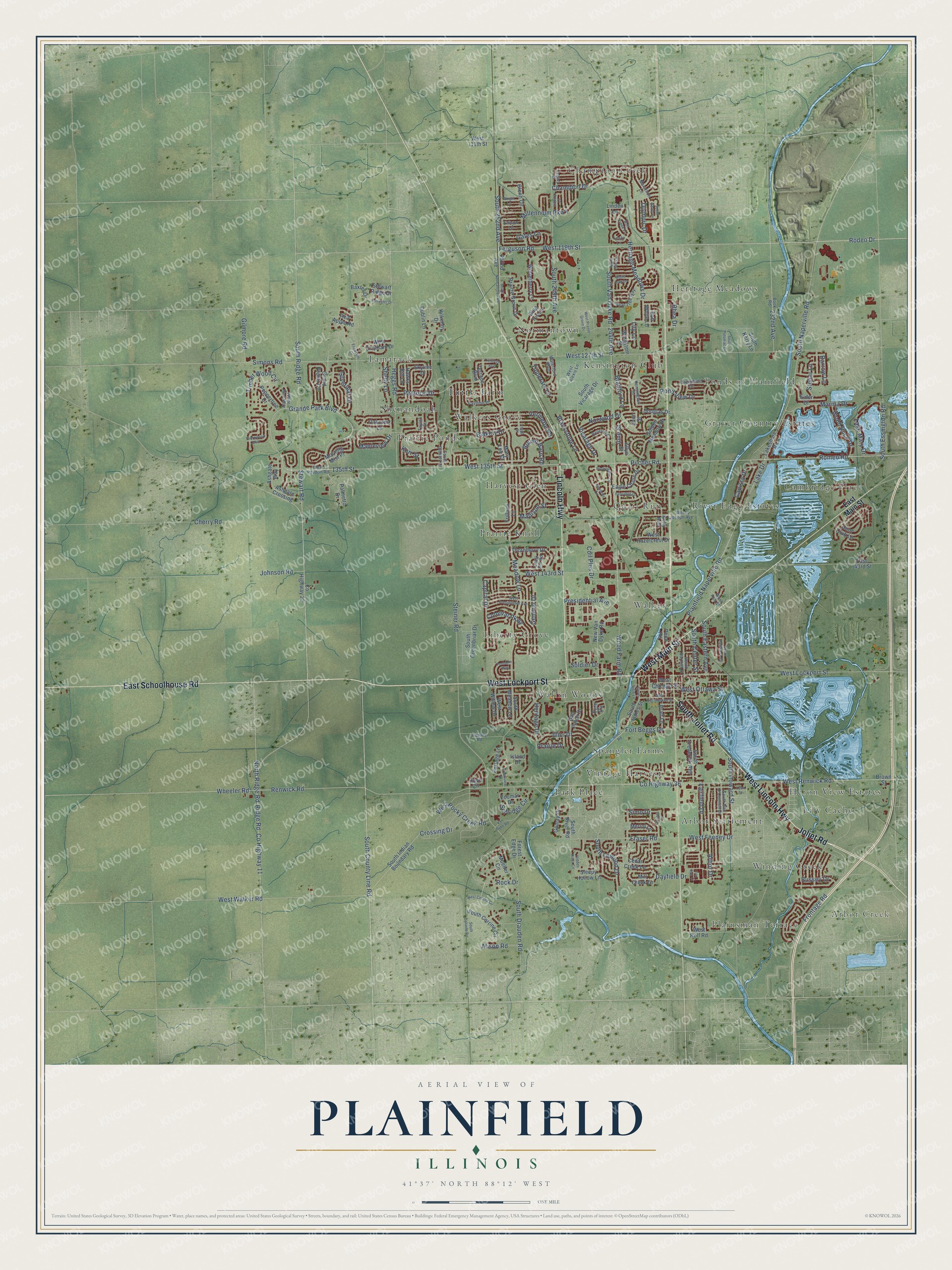
This beautifully detailed map of Plainfield, Illinois was created in 2026 using aerial imagery combined with modern topographical, census, street and landmark data. It’s a one-of-a-kind view of Plainfield that combines accurate data with a vintage aesthetic. The map shows every building in its true location, many of the roads carry their names, and the shaded topographic relief shows the shape of the land.
Explore an aerial view of Plainfield, Illinois
On the map you’ll find Arbor Creek, Arbor Settlement, Cambridge Place, Champion Creek, Graver Country Estates, Harvest Glen, Heritage Meadows, Heron View Estates, Kensington Club, Liberty Grove, Lily Cache, Normantown, and more. If you look closely you can even find your house accurately drawn in its correct location. Zoom in on the preview to look for yours.
Did you know this piece of Plainfield, Illinois history?
From the 1878 History of Will County, Illinois: "Chester Ingersoll is accredited with laying out the village proper, which is sometimes termed South Plainfield, while the north division was laid out by Squire Arnold."
Take a closer look at the Plainfield map
Street and place names on the Plainfield, Illinois map
These names are printed on the map of Plainfield, Illinois.
Places: Arbor Creek, Arbor Settlement, Cambridge Place, Champion Creek, Graver Country Estates, Harvest Glen, Heritage Meadows, Heron View Estates, Kensington Club, Liberty Grove, Lily Cache, Normantown, Park Place, Plainsman Terrace, Ponds of Plainfield, Prairie Knoll, Prairie Ponds, Quail Run, River Edge Estates, Shenandoah, Spangler Farms, Tamarack, Tuttle Farm, Vintage Harvest, Walker, Walkers Grove, Wallin Woods and Winding Creek.
Streets and roads: West Lockport Street, West Lincoln Highway, West Main Street, Lincoln Highway, East Schoolhouse Road, South Joliet Road, Joliet Road, West 135th Street, South Ridge Road, Grande Park Boulevard, West 119th Street, Ridge Road.
More street names, A to Z
135th Street, 232nd Avenue, 244th Avenue, 252nd Avenue, Alison Road, Allyn Street, Apple Tree Lane, Arbor Drive, Ashgate Crossing, Ashgate Way, Barrow Lane, Baxter Drive, Blackstone Lane, Blakely Drive, Blue Iris Lane, Bob White Lane, Book Road, Bradford Lane, Brown Street, Bussey Drive, Capista Drive, Capital Drive, Cedar Creek Lane, Chablis Lane, Chalk Hill Road, Champion Drive, Cherry Road, Coil Plus Drive, Colonial Parkway, County Highway 11, County Highway 22, County Highway 36, Cove Circle, Creekview Drive, Crossing Drive, Dan Patch Drive, Dayfield Drive, Douglas Drive, Dublin Lane, Eagle Chase Drive, East 143rd Street, East Main Street, Edison Lane, Eider Drive, Elizabeth Drive, Evon Street, Eyre Circle, Fairfield Drive, Ferguson Road, Flagg Drive, Forest Edge Drive, Forrester Drive, Fort Beggs Drive, Fox Run Cr, Fraser Road, Freedom Way, Frontage Road, Gamay Drive, Gates Lane, General Drive, Gilmore Road, Glenn Circle, Golden Meadow Drive, Grand Poplar Circle, Greenfield Drive, Hawks Bill Lane, Heggs Road, Heritage Drive, Heritage Meadows Drive, Hidden River Circle, Hunt Club Lane, Illini Drive, Ione Street, Island Drive, Johnson Road, Kelly Avenue, Kennedy Circle, Kensington Drive, Kerr Street, Kilkenny Drive, Lake Drive, Lake Mary Drive, Lakeshore Drive, Legacy Drive, Leski Lane, Liberty Lane, Lily Lane, Linden Lane, Lynn Street, Madison Street, Mapleview Drive, Marathon Lane, Marina Drive, Mary Lee Court, Meadow Lane, Merlot Lane, Mill Creek Lane, Millennium Parkway, Morning Mist Place, Mueller Circle, New Van Dyke Road, North Ridge Road, Norwood Drive, Oakcrest Lane, Olympic Drive, Palmetto Drive, Partridge Drive, Pastoral Drive, Pavilion Place, Pear Tree Way, Penn Road, Peppertree Drive, Pilcher Road, Plainfield Naperville Road, Pond View Drive, Portage Lane, Prairie Drive, Prairie Grove Drive, Pratt Lane, Presidential Avenue, Red Apple Road, Renwick Road, Rhea Drive, River Road, Rock Drive, Rockefeller Circle, Rodeo Drive, Romeo Road, Round Barn Road, Rowley Road, Selfridge Circle, Shelly Lane, Silverleaf Drive, Simo Drive, Simons Road, Skyline Drive, Sleepy Hollow Lane, Soldier Drive, South 248th Avenue, South 252nd Avenue, South Bartlett Street, South Blakely Drive, South Center Street, South Corinne Circle, South Corrine Circle, South County Line Road, South Dan O'Connell Drive, South Derby Lane, South Drauden Road, South Eastern Avenue, South Essington Road, South Frederick Avenue, South Greenbriar Drive, South Hawthorn Circle, South Howard Street, South Indian Boundary Road, South James Street, South Kerry Lane, South Lewood Drive, South Meadow Lane, South Naperville Road, South Normantown Road, South Potomac Drive, South River Road, South Van Dyke Road, South Vicarage Drive, South Vista Lane, Steiner Road, Stellar Lane, Stewart Ridge Drive, Stewart Road, Taylor Street, Terrace Boulevard, Thornberry Drive, Thornwood Boulevard, Timber Wood Circle, Tipperary Lane, Trelliage Avenue, Trillium Lane, Van Dyke Road, Vermette Road, Vicarage Drive, Waterford Boulevard, Wellesley Circle, West 111th Street, West 127th Street, West 143rd Street, West Alexis Lane, West Ash Street, West Cerena Circle, West Chatham Drive, West Chicago Street, West Commercial Street, West Feeney Drive, West Hazelcrest Drive, West Joseph Avenue, West Ottawa Street, West Paydon Road, West Prairie Grove Drive, West Presidential Avenue, West Renwick Road, West Rocky Creek Road, West Rolf Road, West Walker Road, West Willow Drive, Wheeler Road, White Oak Drive, White Pine Way, Wingstem Street, Winterberry Lane, Wolf Creek Lane, Wood Duck Drive, Wood Farm Road, Wright Lane, Zoumar Drive.
See the Plainfield, Illinois map on a wall
The Plainfield map as an 18 x 24 inch print in a black frame.

This beautifully detailed map of Plainfield makes an attractive addition to your office, library, or den, and it can even be used to teach children the geography and history of the area. It also makes a great gift for someone who left Plainfield and still calls it home. When you’re done exploring, click here to get your copy of the Plainfield map.