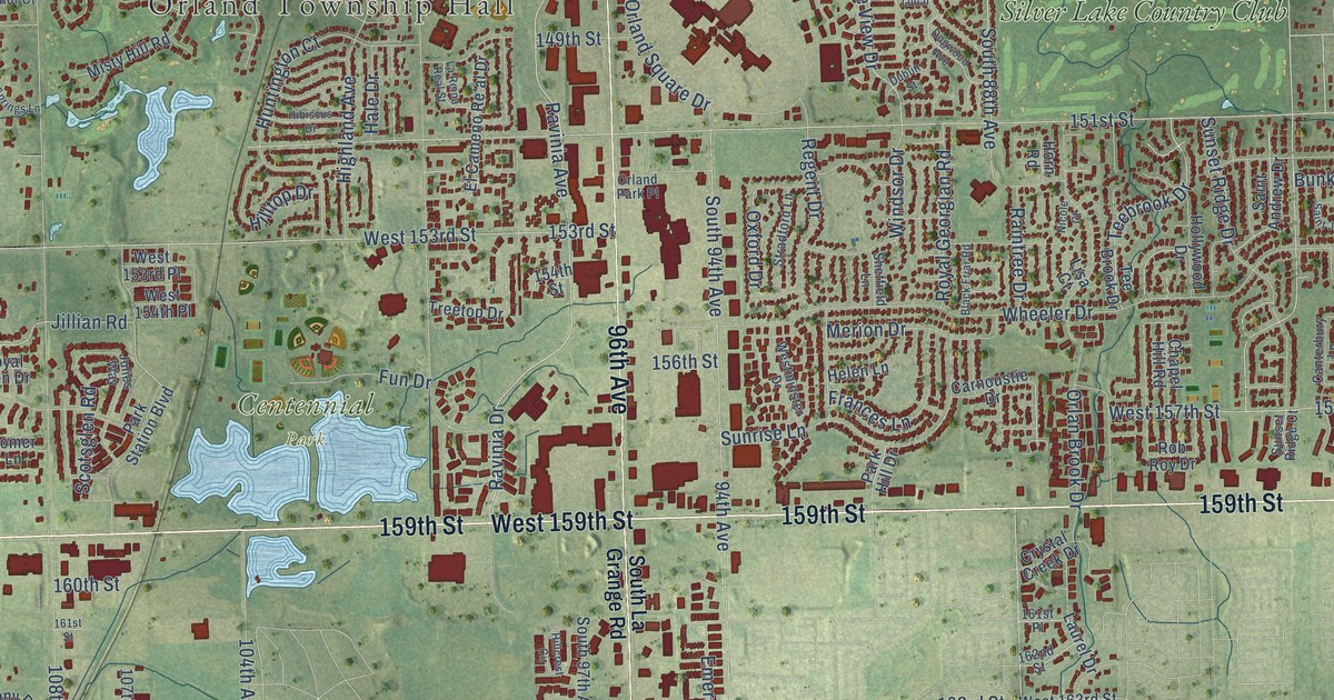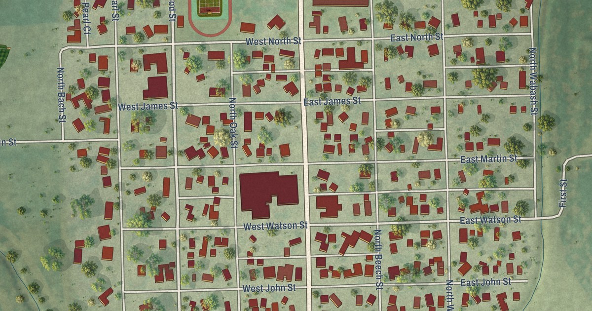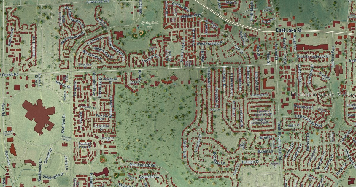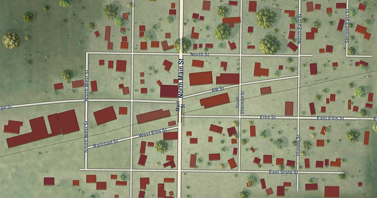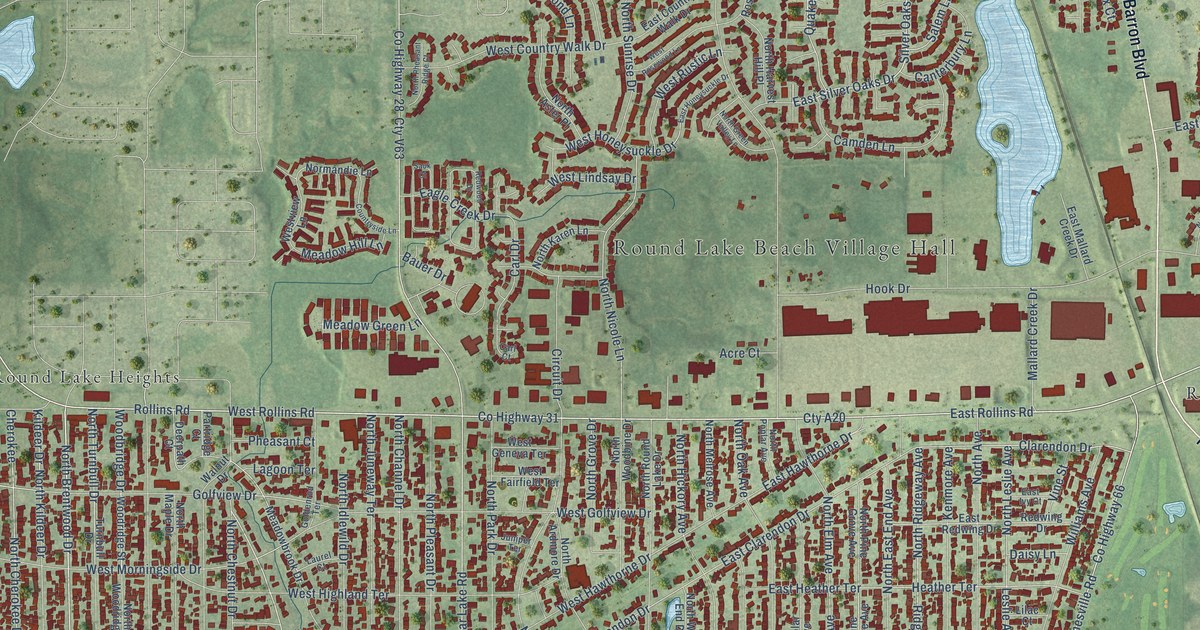
This beautifully detailed map of Round Lake Beach, Illinois was created in 2026 using aerial imagery combined with modern topographical, census, street and landmark data. It’s a one-of-a-kind view of Round Lake Beach that combines accurate data with a vintage aesthetic. The map shows every building in its true location, many of the roads carry their names, and the shaded topographic relief shows the shape of the land.
Explore an aerial view of Round Lake Beach, Illinois
On the map you’ll find Round Lake Beach Village Hall, Long Lake Park, Rollins, and Round Lake Heights, along with Barron Boulevard, East Rollins Road, North Brentwood Drive, West Rollins Road, Long Lake Drive, Bonnie Brook Lane, Long Lake Road, Sunset Drive, and more. If you look closely you can even find your house accurately drawn in its correct location. Zoom in on the preview to look for yours.
Did you know this piece of Round Lake Beach, Illinois history?
From the Encyclopedia of Chicago: "Residents voted to incorporate in January 1937 since the neighboring village of Round Lake was unwilling to annex them."
Take a closer look at the Round Lake Beach map
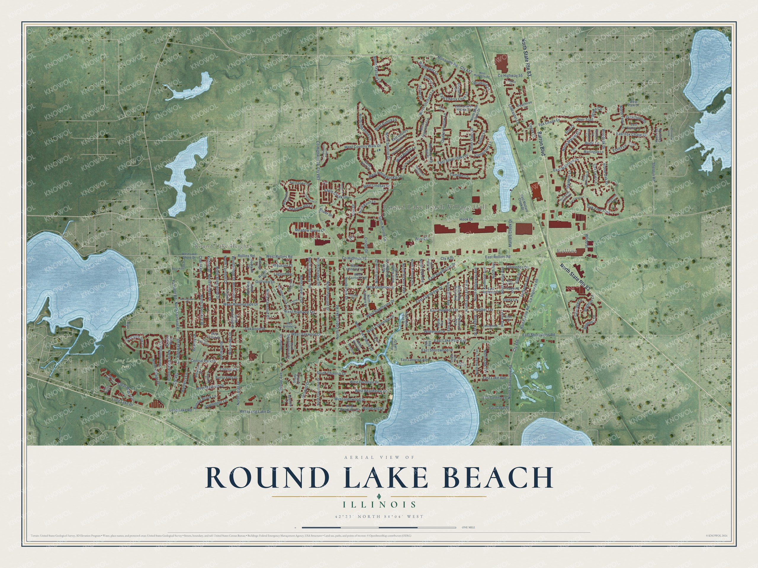
Street and place names on the Round Lake Beach, Illinois map
These names are printed on the map of Round Lake Beach, Illinois.
Places: Round Lake Beach Village Hall, Long Lake Park, Rollins and Round Lake Heights.
Streets and roads: North State Route 83, Barron Boulevard, East Rollins Road, North Brentwood Drive, West Rollins Road, Long Lake Drive, Bonnie Brook Lane, Long Lake Road, Sunset Drive, Oak Leaf Lane, Woodoak Drive, Sunset Avenue.
More street names, A to Z
Acorn Drive, Acre Court, Barberry Lane, Bauer Drive, Bayview Drive, Beverly Drive, Blueberry Lane, Brentwood, Bridle Circle, Brighton Lane, Buena Vista Drive, Bugle Court, Bugle Lane, Camden Lane, Canterbury Lane, Carl Court, Carl Drive, Carriage Lane, Cedar Avenue, Central Park Drive, Cherokee, Circuit Drive, Clarendon Drive, Clear Water Circle, Corona Court, Countryside Lane, County Highway 28, County Highway 31, County Highway 49, County Highway 55, County Highway 66, Crescent Court, Crystal Rock Court, Cty A12, Cty A20, Cty V61, Cty V63, Cty V66, Daisy Lane, Deerpath Court, Deer Trail, Eagle Creek Drive, East Cardinal Lane, East Cedar Drive, East Cherry Cove Lane, East Chicory Lane, East Clarendon Drive, East Country Walk Drive, East Fox Chase Drive, East Hawthorne Drive, East Heather Terrace, East Honeysuckle Drive, East Ivy Court, East Komar Lane, East Lake Avenue, East Lake Park Avenue, East Lakeview Avenue, East Lane Court, East Mallard Creek Drive, East Millstone Drive, East Quaker Hollow Lane, East Redwing Drive, East Shorewood Drive, East Shorewood Road, East Silver Oaks Drive, Elm Avenue, Essex Court, Essex Lane, Fairfield Road, Fox Chase Drive, Goldenrod Terrace, Golfview Drive, Greystone Drive, Hainesville Road, Hardwood Path, Heather Terrace, Heyer Street, Hillwood Circle, Hook Drive, Hunters Lane, Idlewild Drive, Juniper Terrace, Kenmore Avenue, Kildeer Drive, Lagoon Terrace, Lancaster Lane, Laurel Court, Lenox Court, Leslie Avenue, Lilac Court, London Court, Mallard Creek Drive, Martingale Lane, Masters Lane, Meadowbrook Drive, Meadow Green Lane, Meadow Hill Lane, Meadows Lane, Monaville Road, Morningside Drive, Normandie Lane, North Amber Prairie Way, North Ardmore Drive, North Aster Place, North Avenue, North Briar Lane, North Cedar Lake Road, North Channel Drive, North Cherokee Drive, North Chestnut Drive, North Clarendon Drive, North East End Avenue, North Elm Avenue, North Fairfield Road, North Fox Chase Drive, North Green Valley Lane, North Grove Drive, North Hainesville Road, North Harvest Hill Place, North Hickory Avenue, North Hickory Terrace, North Idlewild Drive, North Juneway Terrace, North Karen Lane, North Kildeer Drive, North Lake Shore Drive, North Leslie Avenue, North Lotus Drive, North Mallard Lane, North Maple Drive, North Masters Lane, North Meadowbrook Drive, North Melrose Avenue, North Millstone Drive, North Nicole Lane, North Oak Avenue, North Oak Terrace, North Old Pond Lane, North Orchard Lane, North Park Drive, North Pheasant Ridge Court, North Pine Grove Avenue, North Pleasant Drive, North Poplar Avenue, North Red Oak Circle, North Ridgeway Avenue, North Rosewood Lane, North Round Lake Drive, North Silver Oaks Drive, North Sunrise Drive, North Tedy Lane, North Turnbull Drive, North Village Drive, North Villa Vista Drive, North West End Drive, North Wildwood Drive, North Woodbine Drive, North Woodridge Drive, Oak Avenue, Oak Tree Trail, Oakwood Drive, Palm Court, Partridge Court, Peachtree Lane, Pheasant Court, Pine Grove Avenue, Poplar Avenue, Quaker Hollow Lane, Redwing Drive, Redwood Drive, Regency Lane, Ridgeway Street, Rollins Road, Round Lake Drive, Salem Lane, Sand Bar Court, Sauk Court, Scott Court, Shady Lane Court, Sheldon Road, Silver Oaks Drive, South Channel Drive, Southmoor Lane, Stratford Lane, Sunnyside Court, Turnbull Drive, Villa Vista Drive, Vine Street, Vineyard Lane, Walnut Drive, West Beachview Drive, West Clarendon Drive, West Country Walk Drive, West Dahlia Lane, West Diana Court, West Fairfield Terrace, West Ferndale Drive, West Geneva Terrace, West Glenwood Drive, West Golfview Drive, West Hawthorne Drive, West Highland Terrace, West Hillside Drive, West Honeysuckle Drive, West Lake Shore Drive, West Lindsay Drive, West Long Lake Drive, West Mayfield Drive, West Monaville Road, West Morningside Drive, West Oakwood Drive, West Orchard Court, West Park Drive, West Ronald Terrace, West Rosewood Lane, West Rustic Lane, West Split Oak Circle, Westview Lane, West Woodland Drive, Wildflower Lane, Wildwood Drive, Williams Avenue, Witchwood Court, Woodbridge Drive, Woodland Drive, Woodmoor Drive, Wood Oak Drive, Woodridge Drive, Woodridge Street, Wood Street.
See the Round Lake Beach, Illinois map on a wall
The Round Lake Beach map as an 18 x 24 inch print in a black frame.

This beautifully detailed map of Round Lake Beach makes an attractive addition to your office, library, or den, and it can even be used to teach children the geography and history of the area. It also makes a great gift for anyone with Round Lake Beach roots. When you’re done exploring, click here to get your copy of the Round Lake Beach map.