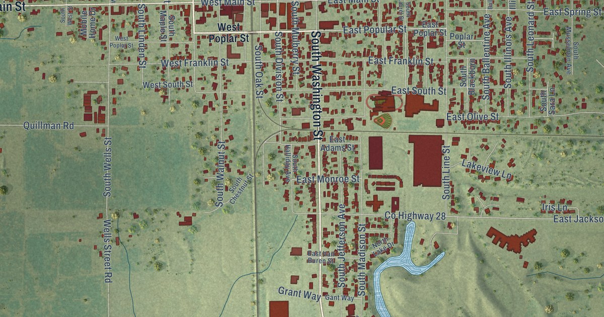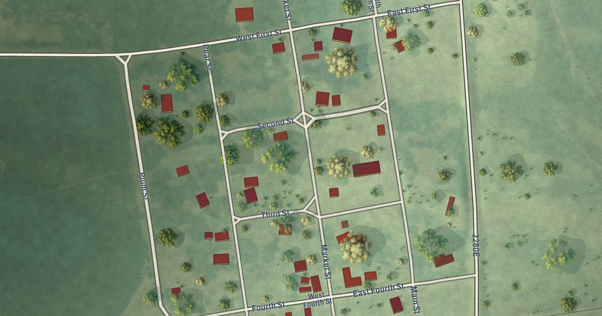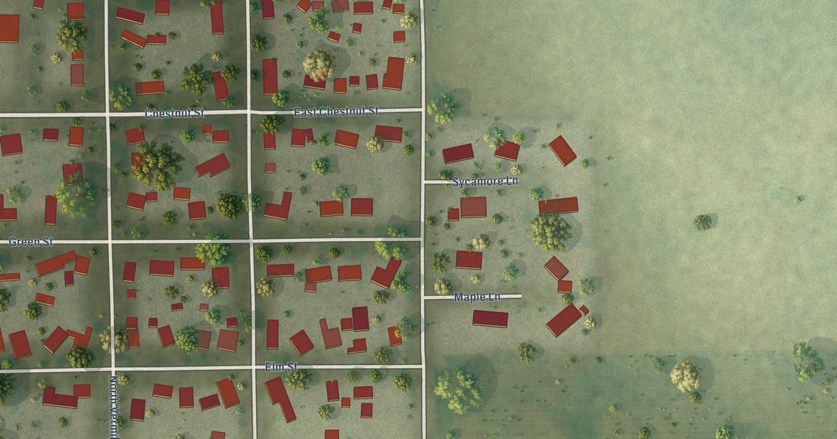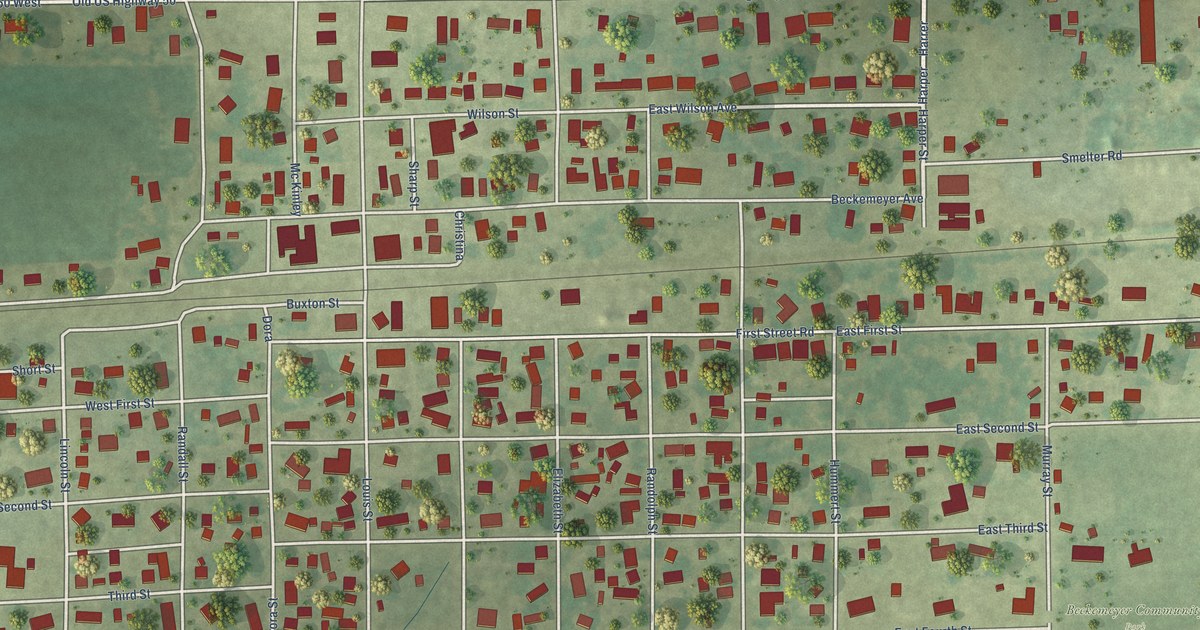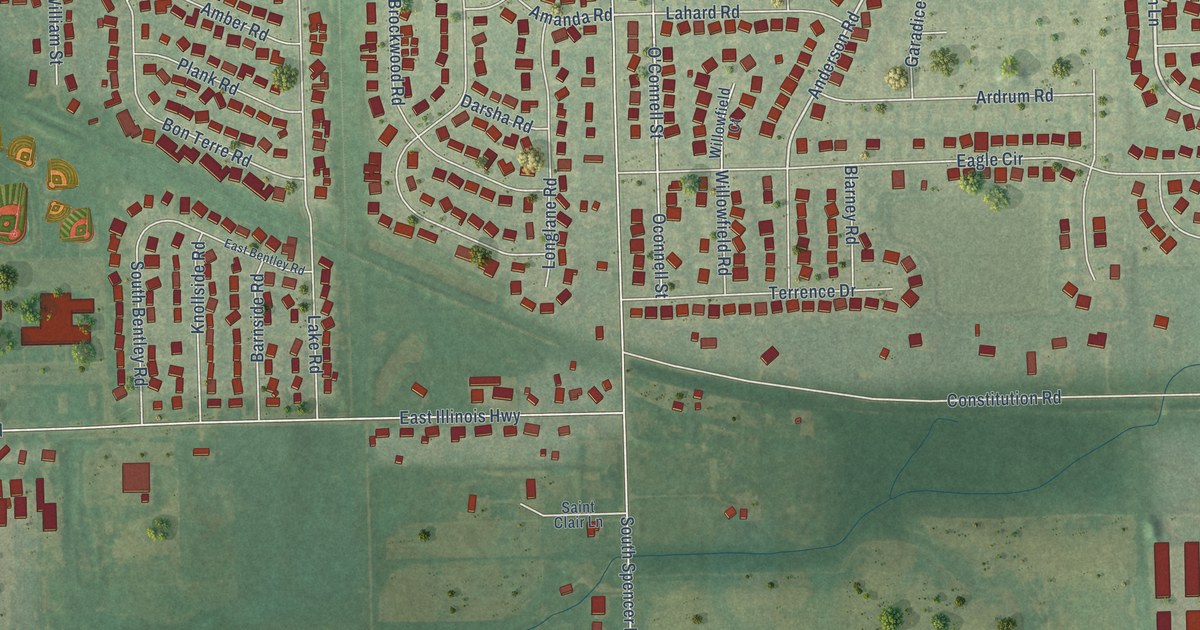
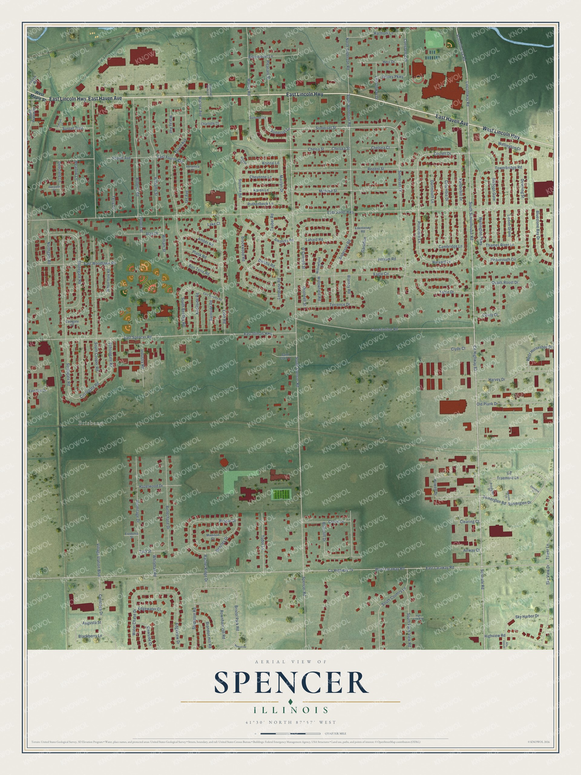
This beautifully detailed map of Spencer, Illinois was created in 2026 using aerial imagery combined with modern topographical, census, street and landmark data. It’s a one-of-a-kind view of Spencer that combines accurate data with a vintage aesthetic. The map shows every building in its true location, many of the roads carry their names, and the shaded topographic relief shows the shape of the land.
Explore an aerial view of Spencer, Illinois
On the map you’ll find Brisbane and Walona Park, along with East Haven Avenue, East Lincoln Highway, West Lincoln Highway, Schmule Road, South Schoolhouse Road, Lincolnway Road, Somerset Street, Princeton Lane, Somerglen Drive, Somerglen Road, and more. If you look closely you can even find your house accurately drawn in its correct location. Zoom in on the preview to look for yours.
Did You Know?
From Internet Archive: "Washington ~ Quinlisk William, railroad man, r. ws German nr City limits Quinn James, wks OC. & A. shops, r. ss Empire opp Spencer Quinn James, plasterer, r."
Spencer is a community in Will County.
Take a closer look at the Spencer map
Names on this map
These names are printed on this map.
Places: Brisbane and Walona Park.
Streets and roads: East Haven Avenue, East Lincoln Highway, West Lincoln Highway, Schmule Road, South Schoolhouse Road, Lincolnway Road, Somerset Street, Princeton Lane, Somerglen Drive, Somerglen Road, Traemore Lane, Cornell Drive.
More street names, A to Z
Airway Court, Alan Drive, Alta Vista Drive, Amanda Road, Amber Road, American Pride Lane, Anderson Road, Ardrum Road, Augusta Street, Ayr Lane, Barnside Road, Beazley Drive, Bellechase Drive, Bishops Gate, Bittersweet Lane, Blackberry Lane, Blarney Road, Bluestone Bay Drive, Bon Terre Road, Brandon Hill Road, Briarcliff Drive, Bristol Park Road, Brockwood Road, Brogan Drive, Calistoga Drive, Cambridge Lane, Charlotte Court, Chelsa Street, Chelsea Court, Chelsea Street, Cheyenne Lane, Circlegate Road, Clearing Court, Clyde Court, Columbia Drive, Constance Drive, Constitution Road, Corrie Lane, County Highway 63, County Highway 74, Covey Court, Darsha Road, Dartmouth Lane, Deerfield Court, Deerfield Lane, Downing Street, Eagle Circle, East Bentley Road, East Fourth Avenue, Eastgate Court, East Illinois Highway, East Joliet Highway, East Laraway Road, East Otto Drive, East Spencer Road, East Woodlawn Road, Edentenny Road, Edgeview Drive, Edgewater Court, Finborough Circle, Fourth Avenue, Fredonia Street, Garadice, Glenlake Court, Glenshire Court, Harmoni Lane, Harvard Lane, Harvey Drive, Hazelwood Drive, Hermitage Drive, Herr Drive, High View Boulevard, Highview Road, Howell Drive, Ian Avenue, Industry Road, Karen Lane, Knollside Road, Krystal Court, Krystal Lane, Lahard Road, Lake Court, Lake Road, Lincolnway Drive, Lisson Grove, Longlane Road, Madison Court, Maray Avenue, Marilyn Drive, Marley Road, Meadow Lane, Melrose Street, North Anderson Road, Northgate Road, O'Connell Street, Oconnell Street, Old Plank Drive, Plank Road, Pleasant Street, Prairie Road, Quails Roost Drive, Rachel Ridge Drive, Redcliff Road, Regent Street, Roberts Road, Robert Street, Rownham Hill Road, Royalglen Drive, Ruthenbeck Lane, Saint Clair Lane, Schoolgate Road, School Gate Road, Schoolhouse Road, Shirley Parkway, Sky Harbor Drive, Sky View Drive, Sojourn Road, Somerset Court, Somerset Lane, South Anderson Road, South Bentley Road, South Cooper Road, South Country Lane, South Farm View Road, Southgate Road, South Prairie Road, South Spencer Road, Spencer Road, Stapleton Road, Stonegate Road, Summer Lane, Sunset Trail, Talon Drive, Tara Street, Tauber Road, Terrence Drive, Terry Lane, Thames River Lane, Tonell Avenue, Towerbridge Road, Tower Lane, Tudor Lane, Twilight Lane, Vanderbilt Drive, Veronica Court, Viewside Drive, Village Station Boulevard, Walona Avenue, Water Chase Drive, Wellington Court, Wellington Parkway, West Horseshoe Drive, West Laraway Road, West Maple Street, Whitehall Road, Williams Street, William Street, Willowfield Court, Willowfield Road.
See it on a wall
The Spencer map as a framed print. Swipe for more.


This beautifully detailed map of Spencer makes an attractive addition to your office, library, or den, and it can even be used to teach children the geography and history of the area. It also makes a great gift for anyone with Spencer roots. When you’re done exploring, click here to get your copy of the Spencer map.