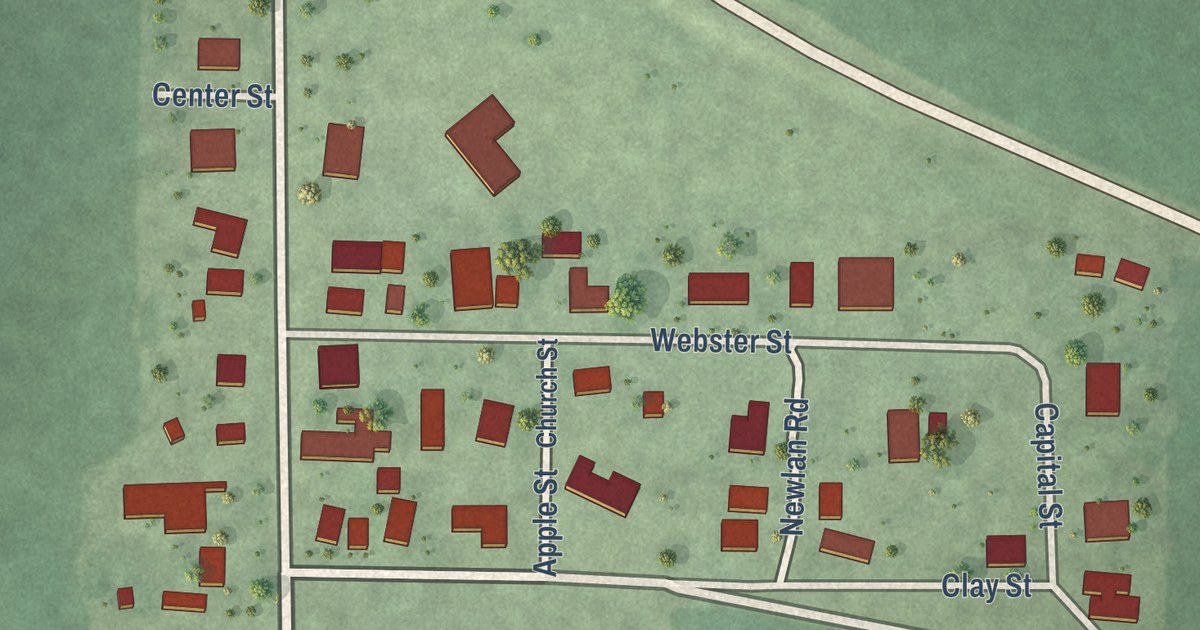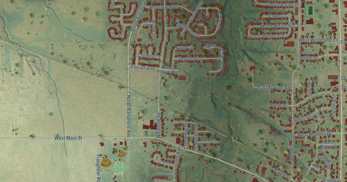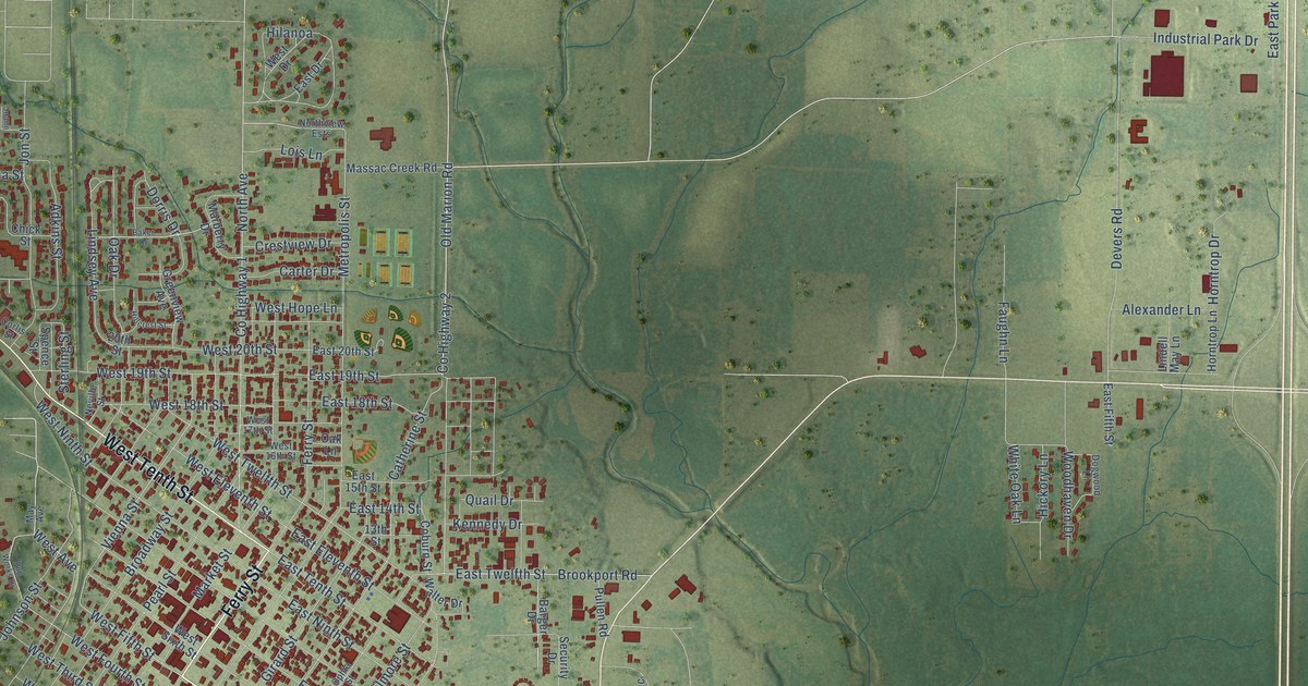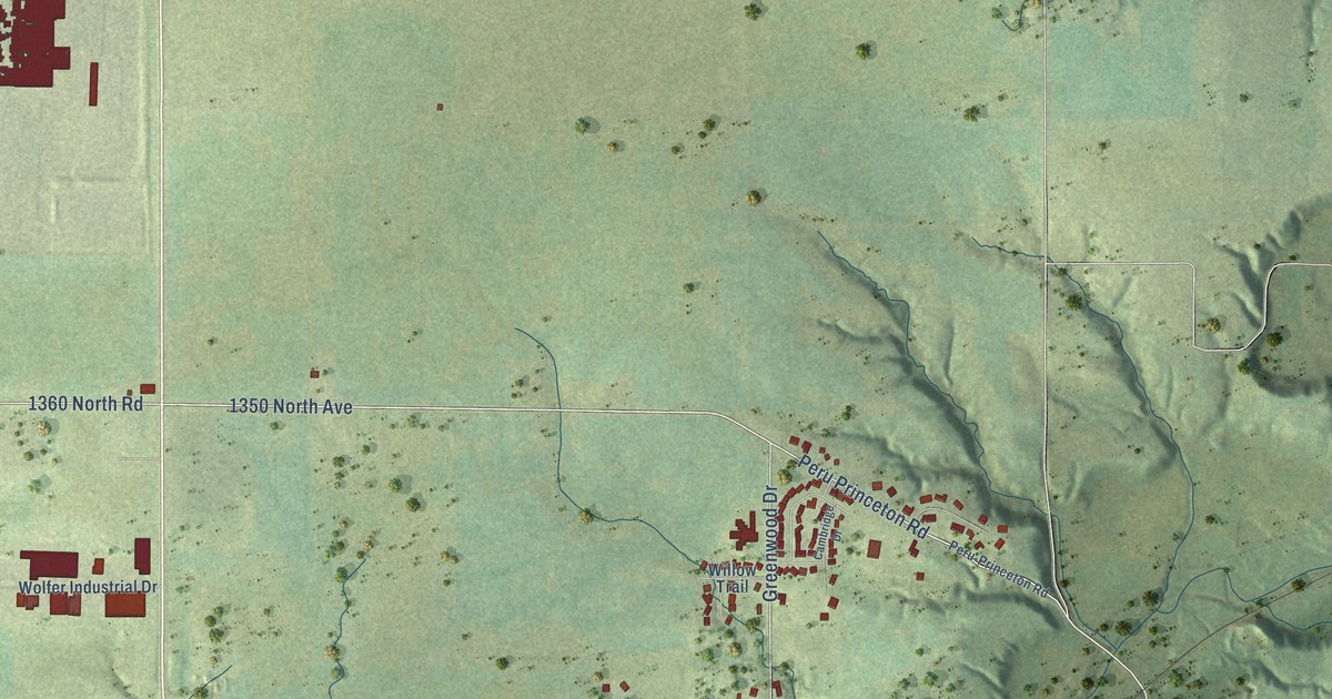
This beautifully detailed map of Spring Valley, Illinois was created in 2026 using aerial imagery combined with modern topographical, census, street and landmark data. It’s a one-of-a-kind view of Spring Valley that combines accurate data with a vintage aesthetic. The map shows every building in its true location, many of the roads carry their names, and the shaded topographic relief shows the shape of the land.
Explore an aerial view of Spring Valley, Illinois
On the map you’ll find Webster Park, Hicks Corners, and Kirby Park, along with West Dakota Street, 3300 East Road, Paulino Drive, East Dakota Street, South Spalding Street, 1360 North Road, 1350 North Avenue, County Highway 30, Peru Princeton Road, and more. If you look closely you can even find your house accurately drawn in its correct location. Zoom in on the preview to look for yours.
Did you know this piece of Spring Valley, Illinois history?
From the Illinois Valley Area Chamber: "The building of Spring Valley was the enterprise of Henry J. Miller, one of the first settlers of this area, and his son-in-law, Charles J. Devlin. They conceived the idea of establishing a coal metropolis."
Take a closer look at the Spring Valley map
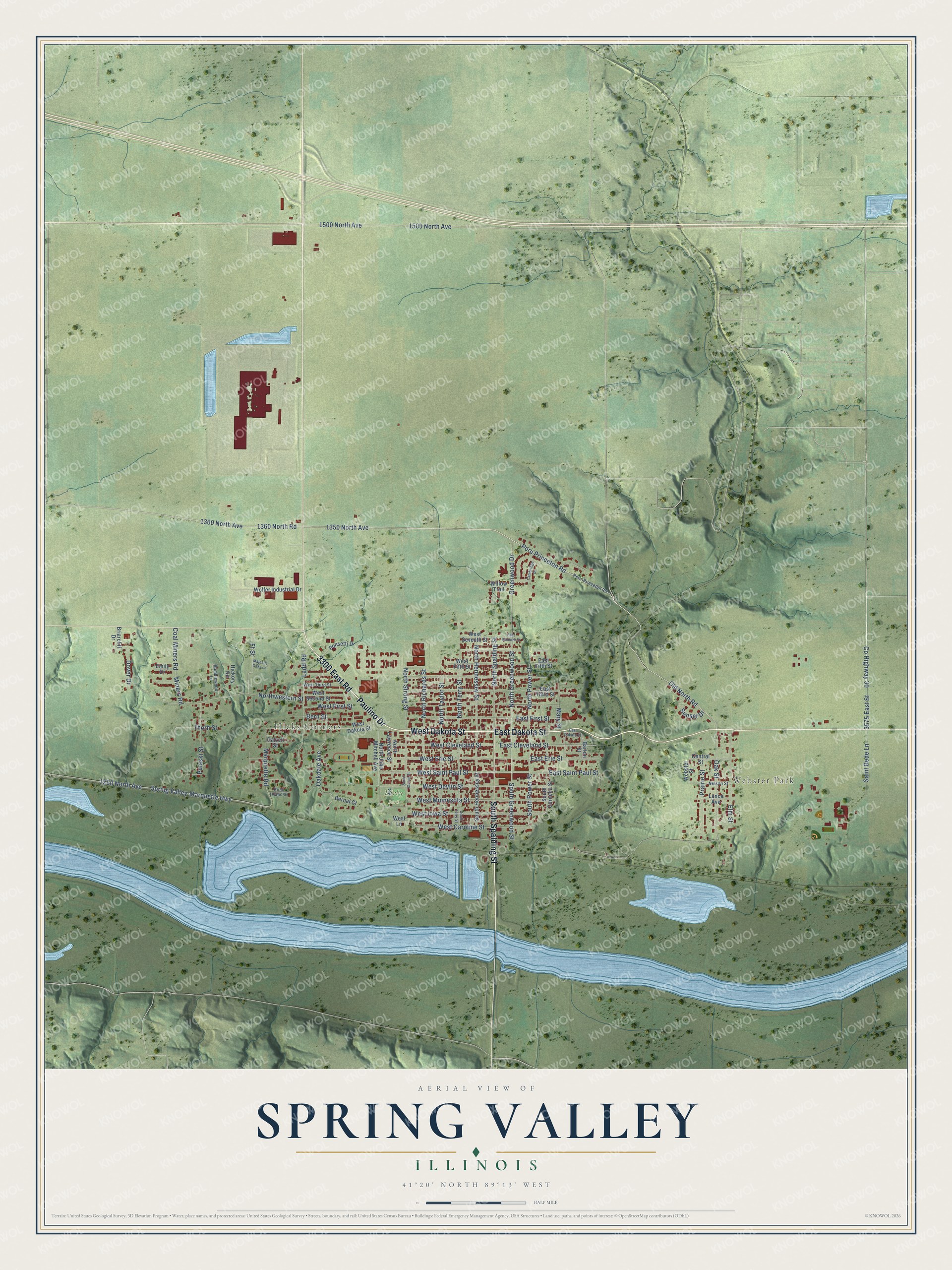
Street and place names on the Spring Valley, Illinois map
These names are printed on the map of Spring Valley, Illinois.
Places: Webster Park, Hicks Corners and Kirby Park.
Streets and roads: West Dakota Street, 3300 East Road, Paulino Drive, East Dakota Street, South Spalding Street, 1360 North Road, 1350 North Avenue, County Highway 30, Peru Princeton Road, 3575 East Street, North Greenwood Street, West Saint Paul Street.
More street names, A to Z
1250 North Avenue, 1360 North Avenue, 1500 North Avenue, Barton Street, Bernal Court, Bern Street, Briarcliff Drive, Cambridge Drive, Central Street, Coal Miners Road, Dalzell Street, Dover Drive, East Cleveland Street, East Erie Street, East Fifth Street, East First Street, East Saint Paul Street, East Seventh Street, East Third Street, Elm Street, Emily Drive, Ff Street, Greenwood Drive, Hickory Road, Ladd Road, Lance Avenue, Majestic Oaks Lane, Marquette Road, Mary Street, Miners Road, Nelson Street, North Hennessey Street, North John Mitchell Avenue, North Lawrence Street, North Power Street, North Richards Street, North Spalding Street, North Strong Street, North Taylor Street, North Terry Street, Northwestern Street, Oakdale Avenue, Oak Street, Old North Road, Peru-Princeton Road, Ponsetti Drive, Prairie Street, Pulaski Street, Ramblewood Lane, Rock Island Street, Saint Bede Lane, South Cornelia Street, South Greenwood Street, South Hennessey Street, South Power Street, South Strong Street, South Terry Street, Spring Valley-Marquette Highway, Sunset Drive, Thorn Street, Webster Street, West Caroline Street, West Cleveland Street, West Devlin Street, West Erie Street, West Fifth Street, West First Street, West Iowa Street, West Lane, West Minnesota Street, West Second Street, West Seventh Street, West Third Street, Willow Trail, Wolfer Industrial Drive.
See the Spring Valley, Illinois map on a wall
The Spring Valley map as an 18 x 24 inch print in a black frame.

This beautifully detailed map of Spring Valley makes an attractive addition to your office, library, or den, and it can even be used to teach children the geography and history of the area. It also makes a great gift for anyone who grew up in Spring Valley or moved away. When you’re done exploring, click here to get your copy of the Spring Valley map.