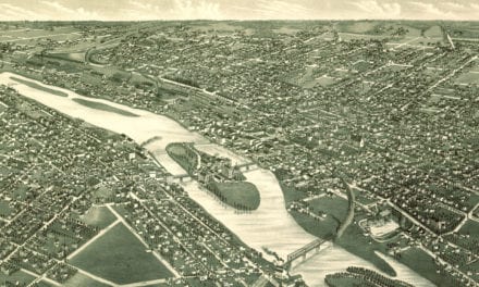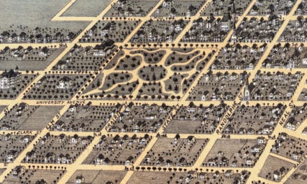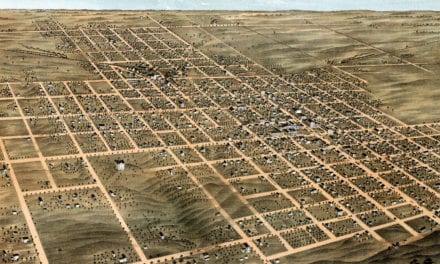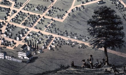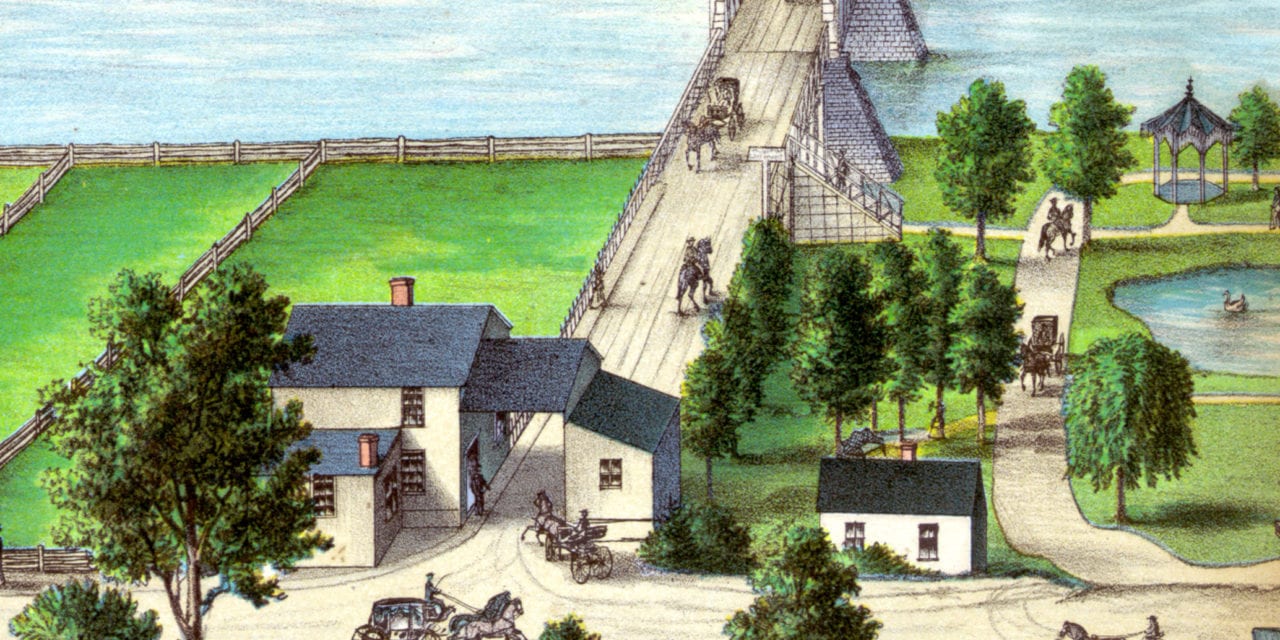
This historic map of Ottawa, Illinois was created in 1875 by Mason & Richards. The map shows a bird’s eye view of the area as it used to be, including street names and old landmarks.
Landmarks on the map include Plymouth Church, King & Hamilton’s Reaper Factory, Opera House, Starch Factory, Cushman’s Elevator, East Ward School House, and more.
This historic map of Ottawa has been restored by KNOWOL. Reproductions of the restored map are available here.
Historic Old Map of Ottawa, Illinois from 1875
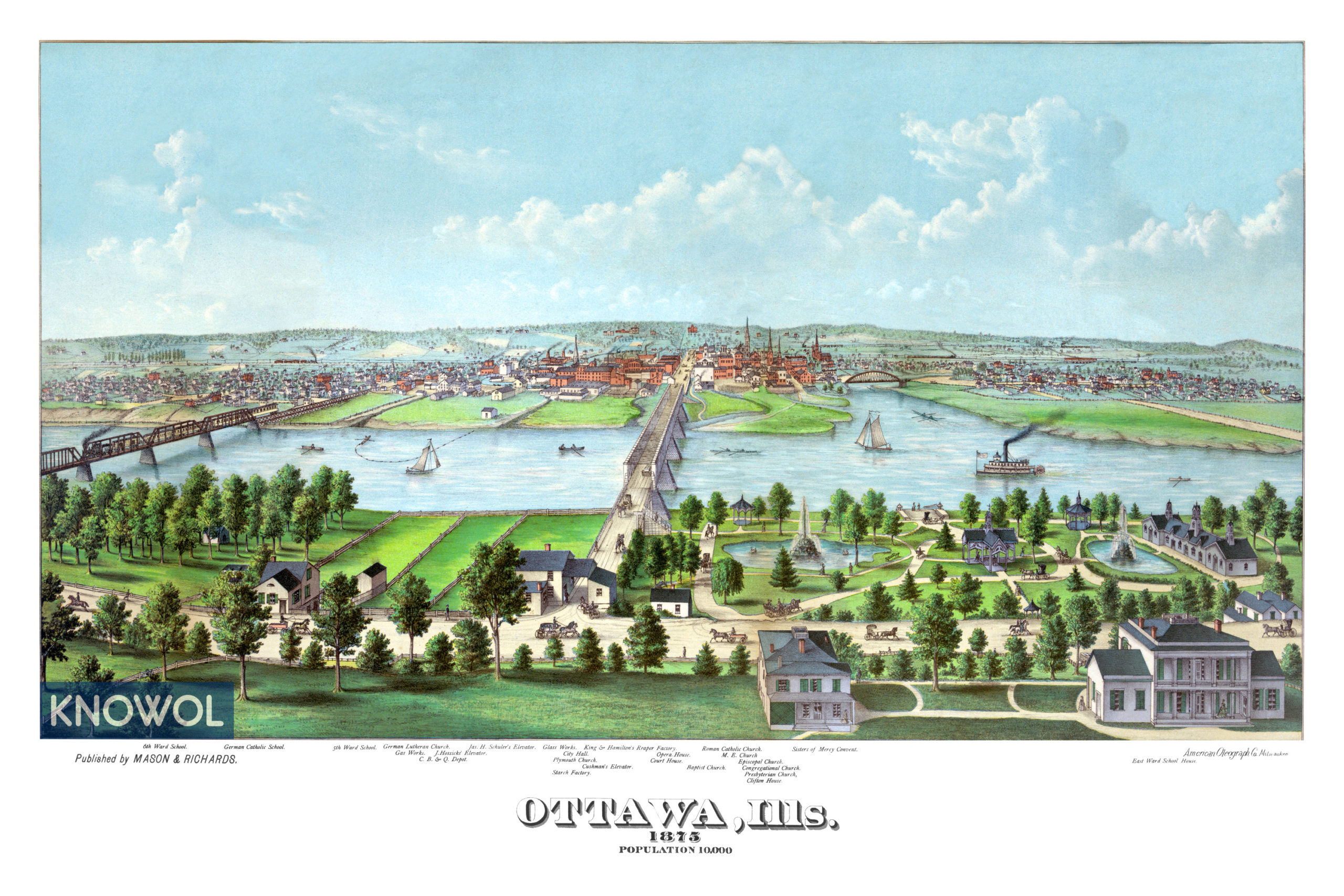
This vintage map of Ottawa makes an attractive addition to your office, library, or den, and can even be used to teach children the geography and history of the area. When you’re done exploring, click here to get your copy of the restored map.