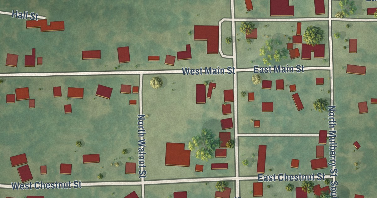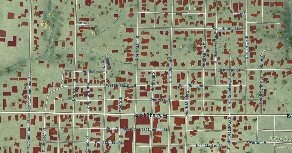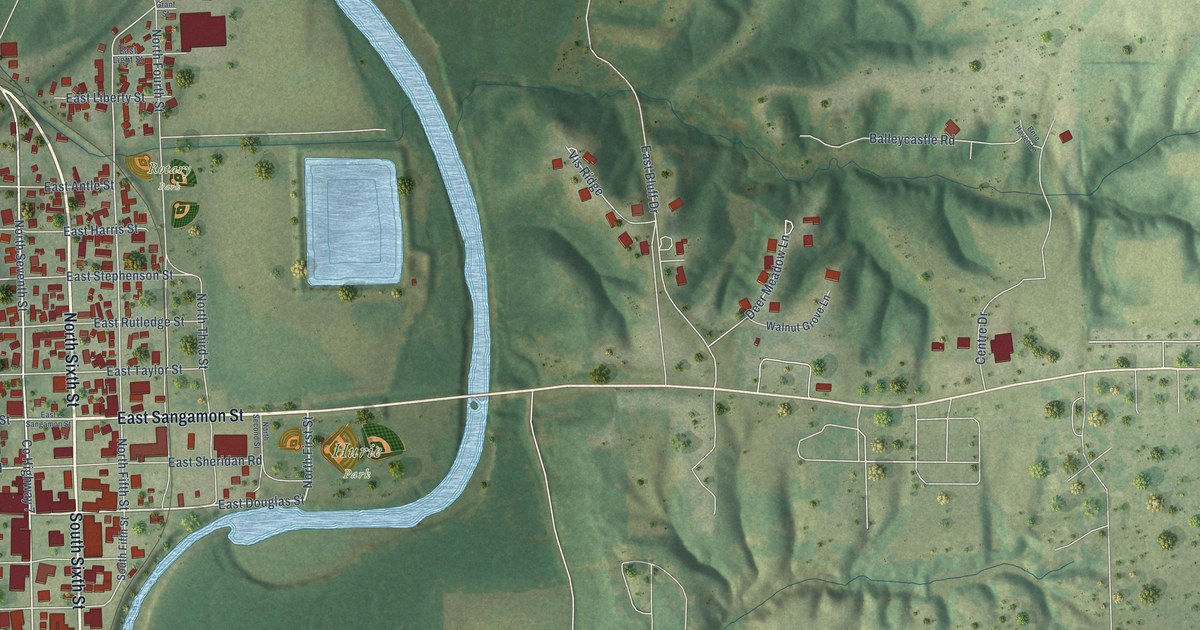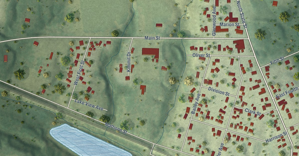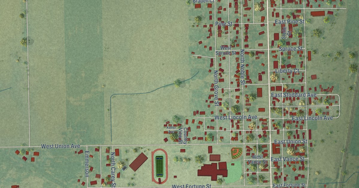
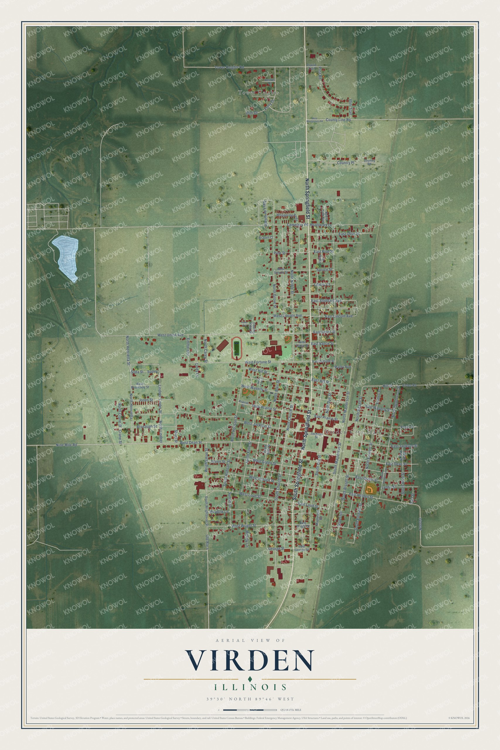
This beautifully detailed map of Virden, Illinois was created in 2026 using aerial imagery combined with modern topographical, census, street and landmark data. It’s a one-of-a-kind view of Virden that combines accurate data with a vintage aesthetic. The map shows every building in its true location, many of the roads carry their names, and the shaded topographic relief shows the shape of the land.
Explore an aerial view of Virden, Illinois
On the map you’ll find Virden City Hall and Tower Heights, along with North Springfield Street, South Springfield Street, North Church Street, South Church Street, East Hill Street, North Bissell Street, Hill Street, East Dean Street, West Dean Street, North Henderson Street, and more. If you look closely you can even find your house accurately drawn in its correct location. Zoom in on the preview to look for yours.
Did you know this piece of Virden, Illinois history?
From the History of Macoupin County: "The first building was a hotel, built by John Virden, and is the one now known as the Junction House, kept by Robert Buckles."
Take a closer look at the Virden map
Street and place names on the Virden, Illinois map
These names are printed on the map of Virden, Illinois.
Places: Virden City Hall and Tower Heights.
Streets and roads: North Springfield Street, South Springfield Street, North Church Street, South Church Street, East Hill Street, North Bissell Street, Hill Street, East Dean Street, West Dean Street, North Henderson Street, North Emmett Street, Old Route 4.
More street names, A to Z
Becker Drive, Bob-O Link Avenue, Braden Court, Bronaugh Street, Cemetery Road, Country Place, Country Road, Country View Street, County Line Road, Crane Street, Earl Street, East Fortune Street, East George Street, East Green Street, East Holden Street, East Jackson Street, East Lincoln Avenue, East Loud Street, East Olive Street, East Pine Street, East Prairie Street, East Stoddard Avenue, East Union Street, East Vance Street, East Waverly Street, East Wright Street, Emmerson, Emmett Street, Gas Lite Village, George Street, Governor, Green Street, Illini Drive, Illini Trail, Jackson Street, Jones Street, Keller Avenue, Liberty Court, Linder Street, Lindner, Lindy Lane, Lynne Street, Maltby Row, Masterson Road, Meadow Lane, Meadowlark Lane, Melody Lane, Nine Mile Road, North Blair Street, North Carey Street, North Crane Street, North Dye Street, North Finis Street, North Grove Street, North Henrietta, North Henrietta Street, North Hobson Street, North Lindner, North Masterson Street, North Noble Street, North Ring Street, Perry Drive, Pine Street, Post Road, Prairie Street, Prairie Trail, Rimini Drive, Short Street, Soda Street, Sodey, South Bissell Street, South Blair Street, South Dye Street, South Emmett Street, South Finis Street, South Henderson Street, South Hobson Street, South Masterson Street, South Ring Street, South Wrightsman Street, Spruce Street, Stelle Court, Sunset Drive, Tower Heights Road, Virden Road, West Broadway Street, West Fortune Street, West Green Street, West Hill Street, West Holden Street, West Jackson Street, West Lincoln Avenue, West Loud Street, West Montgomery Road, West Prairie Street, West Spruce Street, West Union Avenue, West Vance Street, West Waverly Street, West Wright Street, Whispering Pines, Wrightsman Street.
See the Virden, Illinois map on a wall
The Virden map as an 18 x 24 inch print in a black frame.

This beautifully detailed map of Virden makes an attractive addition to your office, library, or den, and it can even be used to teach children the geography and history of the area. It also makes a great gift for anyone with Virden roots. When you’re done exploring, click here to get your copy of the Virden map.