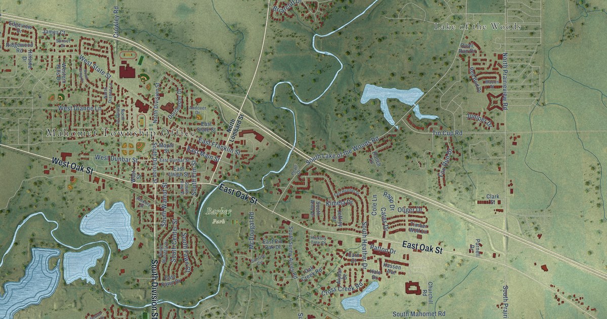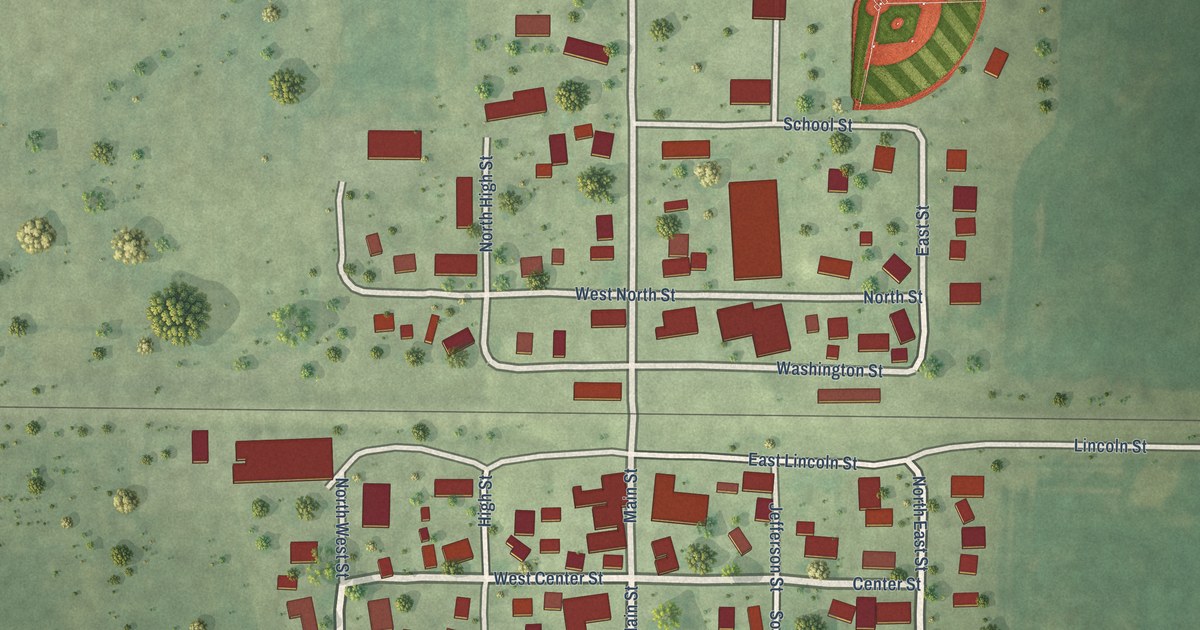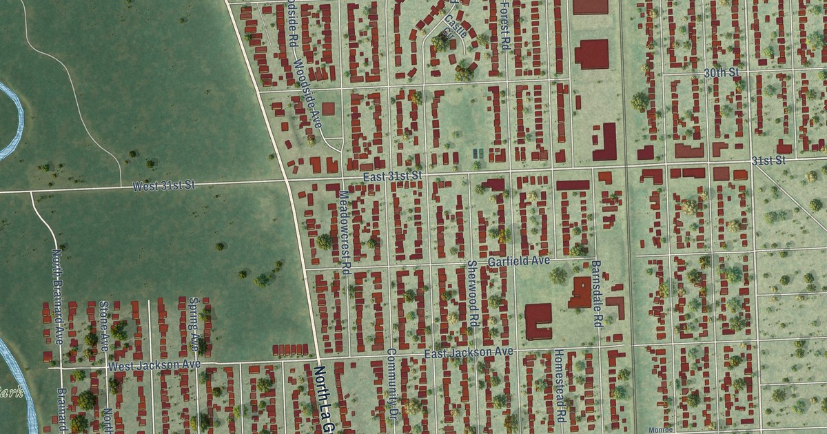
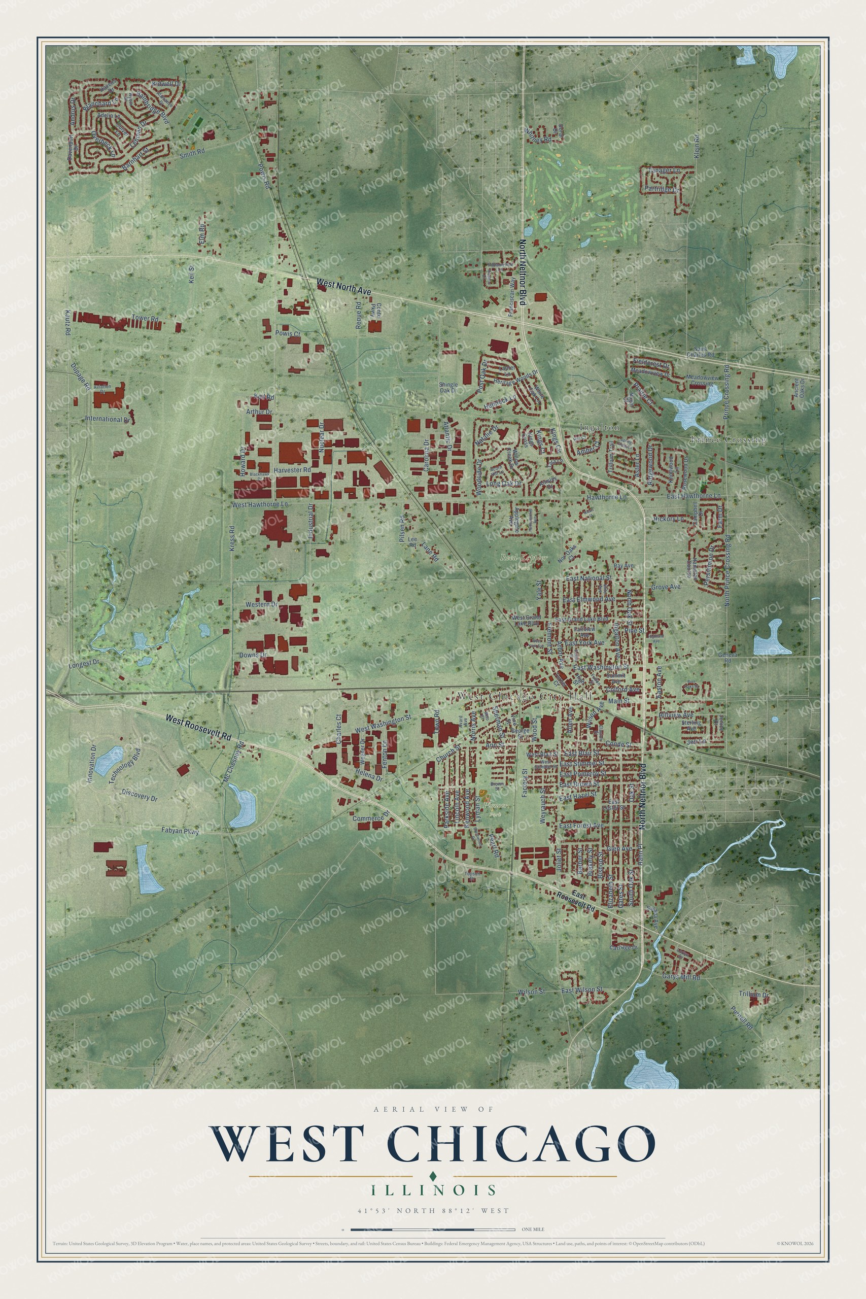
This beautifully detailed map of West Chicago, Illinois was created in 2026 using aerial imagery combined with modern topographical, census, street and landmark data. It’s a one-of-a-kind view of West Chicago that combines accurate data with a vintage aesthetic. The map shows every building in its true location, many of the roads carry their names, and the shaded topographic relief shows the shape of the land.
Explore an aerial view of West Chicago, Illinois
On the map you’ll find West Chicago City Hall, Pioneer Park, Reed-Keppler Park, Ingalton, and Prince Crossing, along with North Neltnor Boulevard, West Roosevelt Road, West North Avenue, Technology Boulevard, East Elmwood Avenue, Discovery Drive, Fabyan Parkway, and more. If you look closely you can even find your house accurately drawn in its correct location. Zoom in on the preview to look for yours.
Did you know this piece of West Chicago, Illinois history?
From the City of West Chicago: "In 1906, the village reincorporated itself as the City of West Chicago, with banker Grant A. Dayton serving as first mayor."
Take a closer look at the West Chicago map
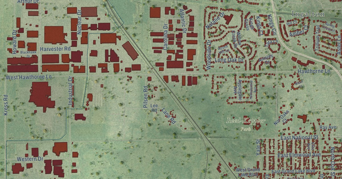
Street and place names on the West Chicago, Illinois map
These names are printed on the map of West Chicago, Illinois.
Places: West Chicago City Hall, Pioneer Park, Reed-Keppler Park, Ingalton and Prince Crossing.
Streets and roads: North Neltnor Boulevard, West Roosevelt Road, West North Avenue, Technology Boulevard, East Elmwood Avenue, Discovery Drive, Fabyan Parkway, East Hawthorne Lane, West Hawthorne Lane, Hawthorne Lane, West Washington Street, Innovation Drive.
More street names, A to Z
Acorn Hill Lane, Adelia Lane, Ainsley Drive, Alamance Drive, Allen Avenue, Amber Court, Ancient Oaks Drive, Andrus Drive, Ann Street, Applegate Avenue, Arapaho Drive, Arbor Avenue, Arthur Drive, Aster Lane, Atlantic Drive, Avard Avenue, Aviation Drive, Bainbridge Boulevard, Barber Street, Barnhart Street, Bishop Street, Blackhawk Drive, Blakely Street, Blanchard Lane, Brentwood Drive, Brown Street, Burr Oaks Drive, Campbell Drive, Carolina Drive, Carriage Drive, Charles Court, Church Street, Clayton Street, Colford Avenue, Commerce Drive, Conde Street, Conte Parkway, Culver Lane, Davenport Drive, Doral Drive, Downs Drive, Dupage Road, East Blair Street, East Brown Street, East Forest Avenue, East Grand Lake Boulevard, East Hazel Street, East Lester Street, East National Street, Easton Avenue, East Pomeroy Street, East Roosevelt Road, East Stimmel Street, East Washington Street, East Wilson Street, East York Avenue, Elite Avenue, Elizabeth Street, Elm Road, Factory Street, Fairview Avenue, Farm Drive, Fenton Lane, Fieldcrest Drive, Franciscan Way, Fremont Street, Fulton Street, Garys Mill Road, Gates Street, Geneva Road, George Street, Glen Avenue, Grove Avenue, Hahn Place, Hampton Course, Harvester Road, Havens Drive, Helena Drive, Hemlock Lane, Heritage Woods Drive, Hickory Lane, Highland Avenue, High Street, Hill Court, Hillview Avenue, Honeysuckle Avenue, Howard Drive, Indianwood Lane, Industrial Drive, Ingalton Avenue, International Drive, Jenice Court, Jeri Lane, Joliet Street, Kautz Road, Keil Road, Keil Street, Kenwood Avenue, Kidwell Drive, Kings Circle, Kings Court, Kings Cross, Klein Road, Knollwood Lane, Kress Road, Lane Road, Laurel Lane, Lee Road, Lehman Drive, Lincoln Avenue, Longest Drive, Long Oak Drive, Lorlyn Drive, Lyman Street, Main Street, Mc Chesney Road, Meadowview Crossing, Meadowview Drive, Milo Court, Nagel Court, Natalie Drive, Nor-Oaks Court, Norris Avenue, North Oak Street, North Prince Crossing Road, Nuclear Drive, Oak Street, Overbeck Lane, Parkside Avenue, Partridge Drive, Pearl Road, Persimmon Drive, Pilsen Road, Pine Street, Post Oak Drive, Powis Court, Powis Road, Prairie Court, Prince Crossing Road, Purnell Road, Ray Avenue, Reque Road, Ridgewood Drive, Risch Court, Rosewood Drive, Saint Charles Road, Sarana Avenue, Sherman Street, Shingle Oak Drive, Smith Road, Sophia Street, South Oak Street, Spring Cress Lane, Sterling Avenue, Summit Avenue, Tanager Lane, Tara Lane, Topsoil Drive, Tower Road, Town Road, Trillium Drive, Trillium Trail, Turner Court, Vine Street, Wegner Drive, West Blair Street, Western Drive, West Grand Lake Boulevard, West Stimmel Street, West York Avenue, Weyrauch Street, White Oak Lane, Whitney Road, Willow Creek Drive, Wilson Avenue, Wilson Street, Woodside Drive, Wood Street, Wyeth Drive, Yale Street.
See the West Chicago, Illinois map on a wall
The West Chicago map as an 18 x 24 inch print in a black frame.

This beautifully detailed map of West Chicago makes an attractive addition to your office, library, or den, and it can even be used to teach children the geography and history of the area. It also makes a great gift for someone who left West Chicago and still calls it home. When you’re done exploring, click here to get your copy of the West Chicago map.