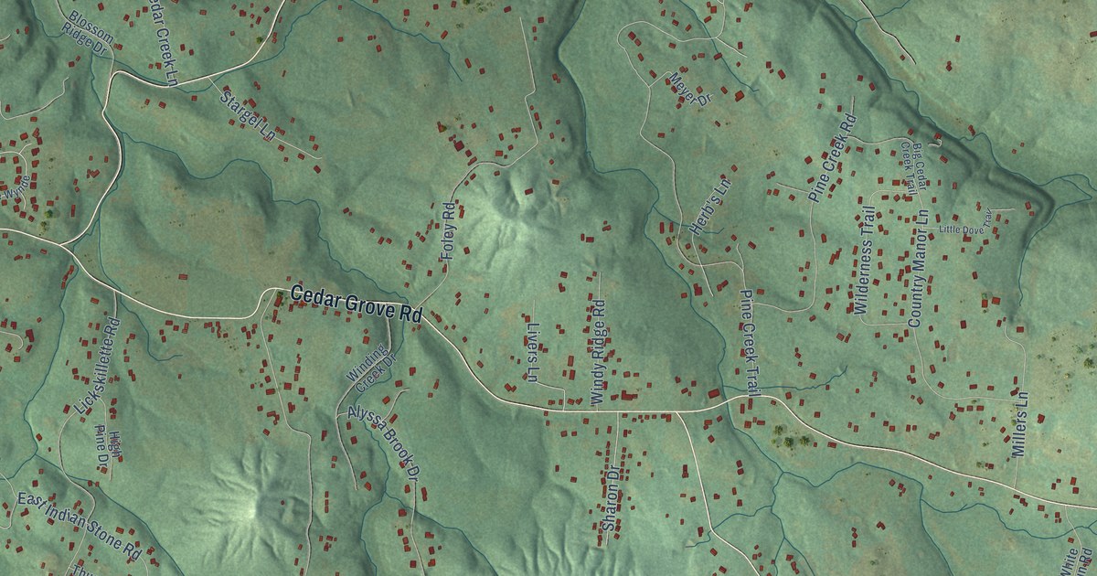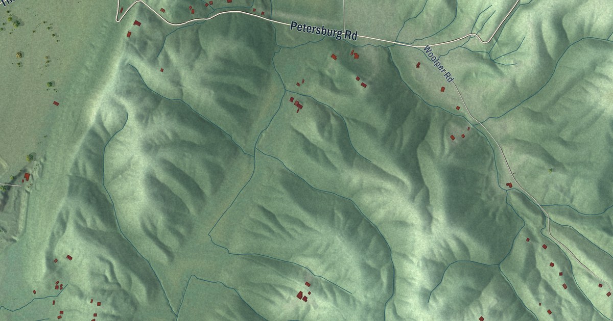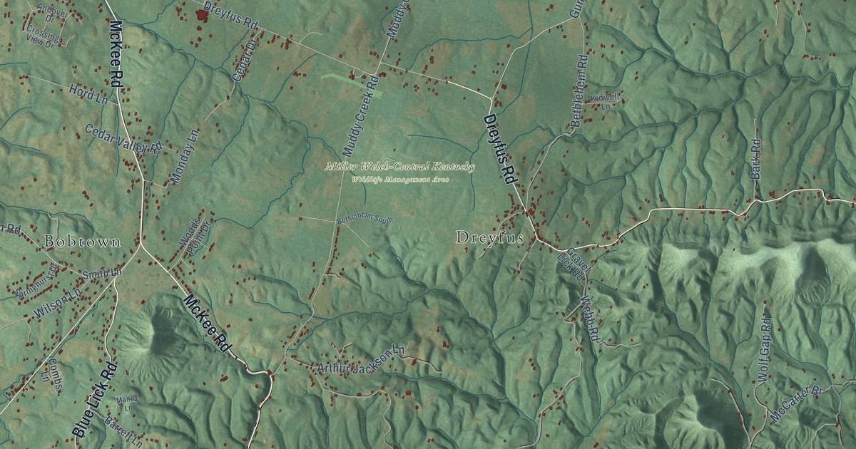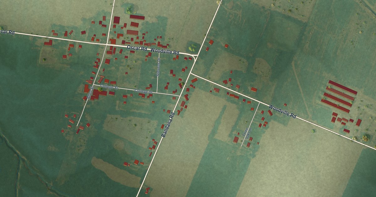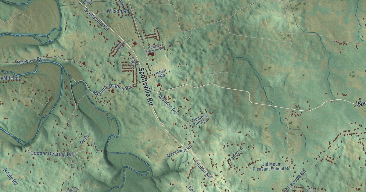
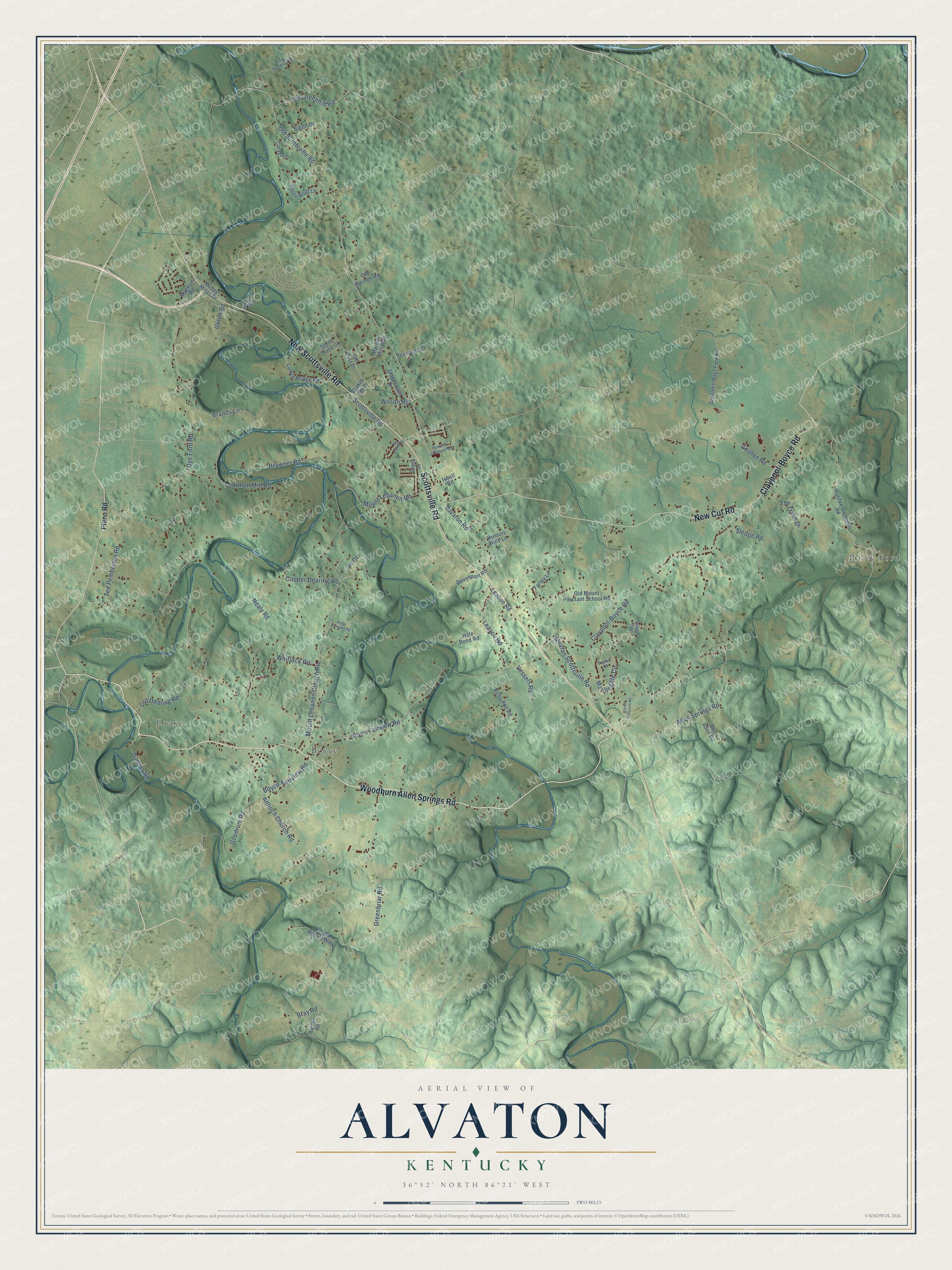
This beautifully detailed map of Alvaton, Kentucky was created in 2026 using aerial imagery combined with modern topographical, census, street and landmark data. It’s a one-of-a-kind view of Alvaton that combines accurate data with a vintage aesthetic. The map shows every building in its true location, many of the roads carry their names, and the shaded topographic relief shows the shape of the land.
Explore an aerial view of Alvaton, Kentucky
On the map you’ll find Boyce, Raley Ford, and Drake, along with Woodburn Allen Springs Road, New Scottsville Road, Scottsville Road, New Cut Road, Claypool-Boyce Road, Allen Springs Road, Antioch Church Road, Pr Drive, Old Scottsville Road, and more. If you look closely you can even find your house accurately drawn in its correct location. Zoom in on the preview to look for yours.
Take a closer look at the Alvaton map
Names on this map
These names are printed on this map.
Places: Boyce, Raley Ford and Drake.
Streets and roads: Woodburn Allen Springs Road, New Scottsville Road, Scottsville Road, New Cut Road, Claypool-Boyce Road, Allen Springs Road, Antioch Church Road, Pr Drive, Old Scottsville Road, Dye Ford Road, Mount Lebanon Church Road, Boyce Fairview Road.
More street names, A to Z
Alvaton Road, Alvaton Scottsville Road, Ben Aden Road, Booth Drive, Boyce-Fairview Road, Brands Lane, Brawner Road, Bray Road, Buddy Miller Drive, Carver Lane, Collett Bridge Road, Cooper Dearing Road, Davenport Road, Drakes Boulevard, Duncan Road, Ec and Ruby's Way, Farley Lane, Goodrum Road, Goshen Road, Greenbriar Road, Greenhill Bays Fork Road, Greta Drive, Hale Bend Road, Halifax-Greenhill Road, Horace Johnson Road, Hunters Hills Lane, Isbell Road, Ivy Farm Street, Karen Simpson Road, Kirby Poe Road, Kirby Salmans Road, Larmon Mill Road, Leaton Road, Leayou Road, Magnum Road, Marblegate Circle, Marston Mill Way, May Apple, Mount Lebanon Road, Nealy Road, Old Dearing Road, Old Goshen Road, Old Greenhill Road, Old Mount Pleasant School Road, Old Post Drive, Old Stone Way, Pearson Lane, Plano Road, Rather Road, Roy Thomas Road, Sledge Road, Stagecoach Drive, Stone Bluff Lane, Stone Trace Court, Ted Pemberton Road, The Trace Drive, Trellis Street, Upton Road, Vessels Road, Whitlock Road, Wilson Road.
See it on a wall
The Alvaton map as a framed print. Swipe for more.


This beautifully detailed map of Alvaton makes an attractive addition to your office, library, or den, and it can even be used to teach children the geography and history of the area. It also makes a great gift for anyone who grew up in Alvaton or moved away. When you’re done exploring, click here to get your copy of the Alvaton map.