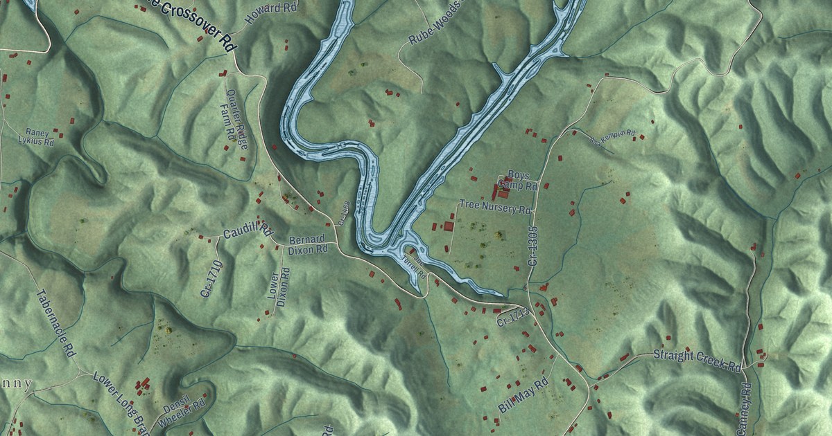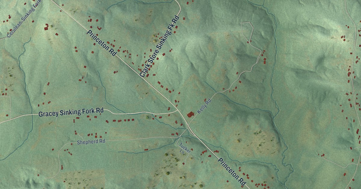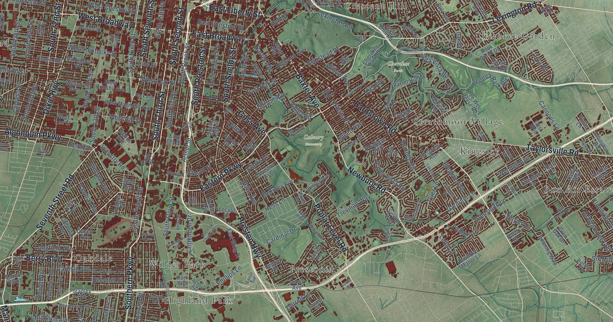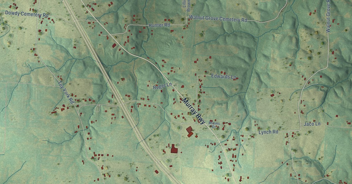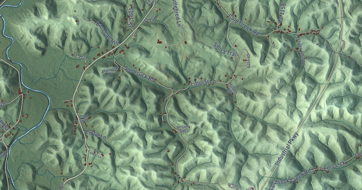
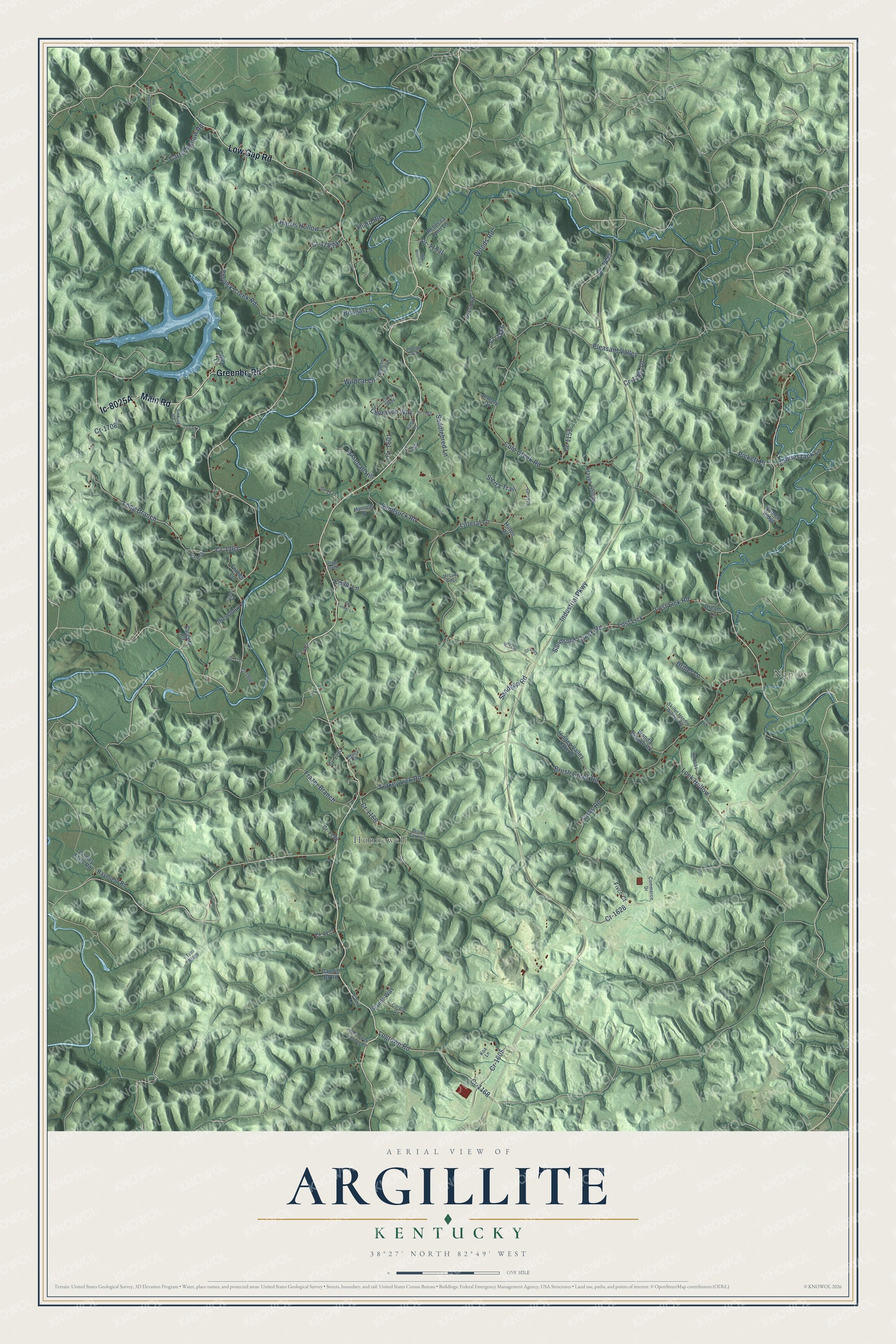
This beautifully detailed map of Argillite, Kentucky was created in 2026 using aerial imagery combined with modern topographical, census, street and landmark data. It’s a one-of-a-kind view of Argillite that combines accurate data with a vintage aesthetic. The map shows every building in its true location, many of the roads carry their names, and the shaded topographic relief shows the shape of the land.
Explore an aerial view of Argillite, Kentucky
On the map you’ll find Hunnewell, Naples, and Ic-8025A, along with Main Road, Low Gap Road, Greenbo Road, Industrial Parkway, Culp Creek Road, Litteral Lane, Turkey Lick Road, Brush Creek Road, Sandsuck Road, and more. If you look closely you can even find your house accurately drawn in its correct location. Zoom in on the preview to look for yours.
Did You Know?
From Internet Archive: "The lines between Raccoon and the Buffalo and Argillite tracts, respectively, have been fixed by a method prescribed by the laws of Kentucky, known as ‘‘processioning.’’ Under this process a board of?"
Argillite is a community in Greenup County.
Take a closer look at the Argillite map
Names on this map
These names are printed on this map.
Places: Hunnewell and Naples.
Streets and roads: Main Road, Low Gap Road, Greenbo Road, Industrial Parkway, Culp Creek Road, Litteral Lane, Turkey Lick Road, Brush Creek Road, Sandsuck Road, Claylick Creek Road, Cr-1262, Long Branch.
More street names, A to Z
Angel Creek, Banjo Lane, Baseball Hill, Bengal Lane, Brown Farm Drive, Byers Road, Cane Creek Cemetery Road, Carter Hollow Road, Caudill Br Road, Cherokee Way, Collie Lane, Commerce Drive, Conley Flats Road, Cordle Cv, Cr-1155, Cr-1166, Cr-1168, Cr-1171, Cr-1177, Cr-1179, Cr-1182, Cr-1184, Cr-1186-70, Cr-1198, Cr-1203, Cr-1206, Cr-1213, Cr-1221, Cr-1223, Cr-1453, Cr-1601, Cr-1605, Cr-1618, Cr-1628, Cr-1708, Cr-1711, Cr-1715, Cr-1717, Cr-1906, Crow Way, Dieselblu Lane, Dreama Lane, Driller Lane, Ek Tunnel Lane, Fivco Court, Forbes Lane, Frazer Branch, Hamilton Road, Harris Hollow, Hayes Hollow, Hidden Valley Lake Drive, Hilton Road, Hobbit Lane, Holy Mountain, Huff Road, Islands Way, Jeremy Drive, Koa Lane, Lock Hollow, Logtown Road, Lost Lick, Lost Lick Road, Manning Drive, McCarty Ridge, Nick Lane, Panther Hollow, Phelps Road, Phyllis Hill, Pickett Br, Pleasant Valley, Raymond Road, Rebecca Lynn Lane, Romeo Ridge, Saddlebred Lane, Sandgap Road, Sandsuck Creek Road, Sargent Road, Sarks Road, Sierra Trail, Sinking Road, Skillet Handle Branch Road, Tharp Road, Tunl Ridge, Tyson Hl, Wanda Branch Road, Wildcat Lane, Woods Road, Zabrieszack Lane.
See it on a wall
The Argillite map as a framed print. Swipe for more.


This beautifully detailed map of Argillite makes an attractive addition to your office, library, or den, and it can even be used to teach children the geography and history of the area. It also makes a great gift for anyone with Argillite roots. When you’re done exploring, click here to get your copy of the Argillite map.