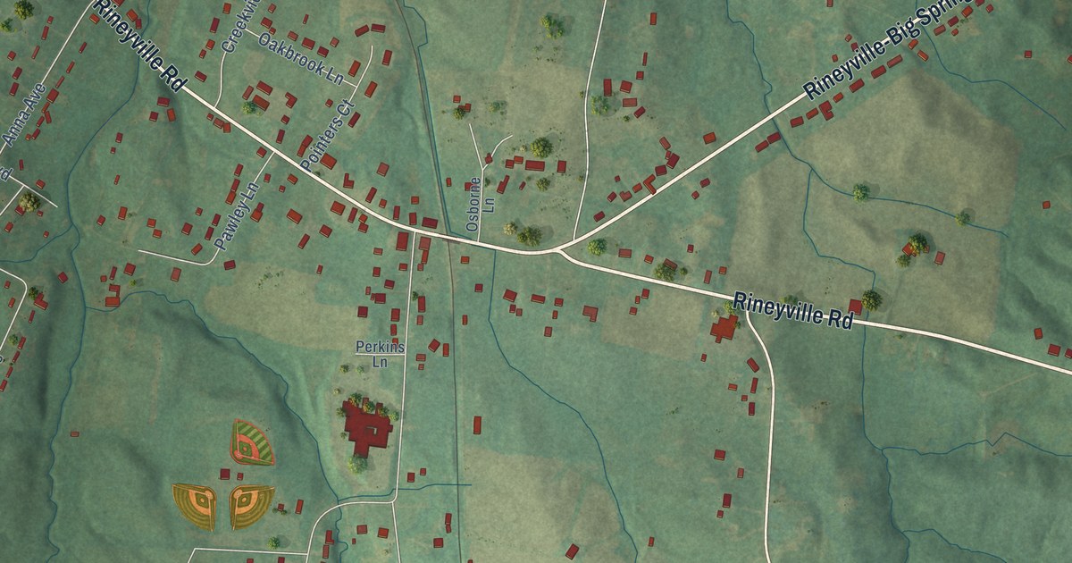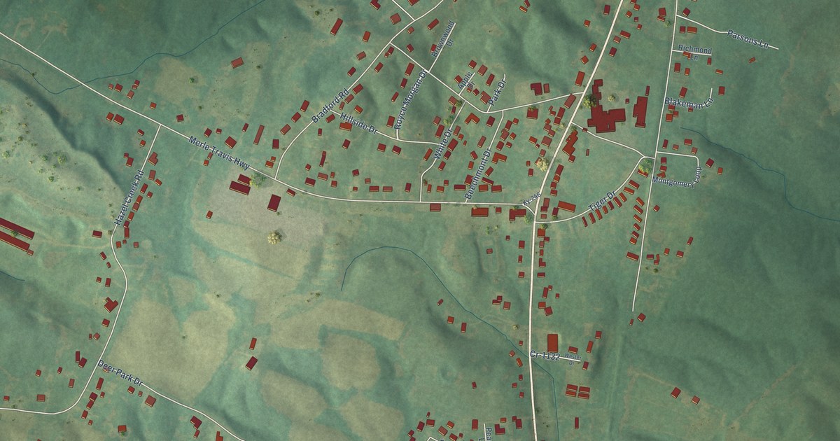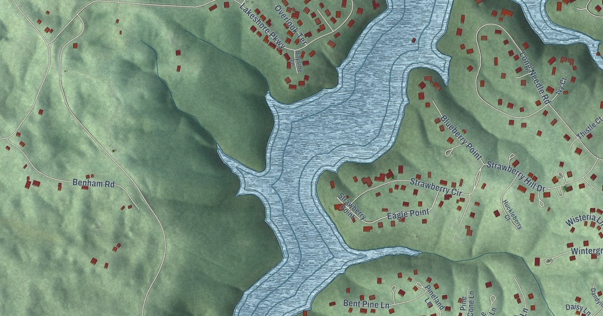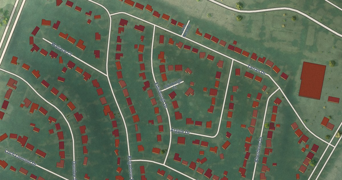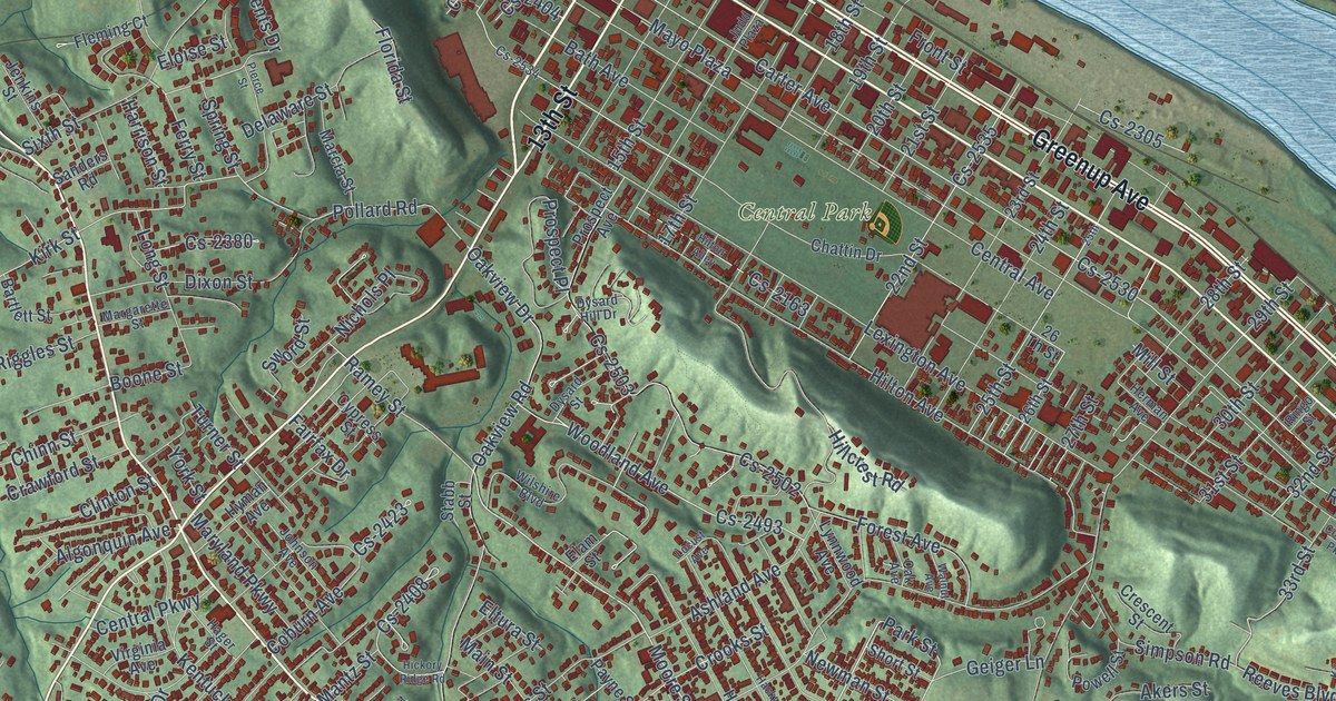
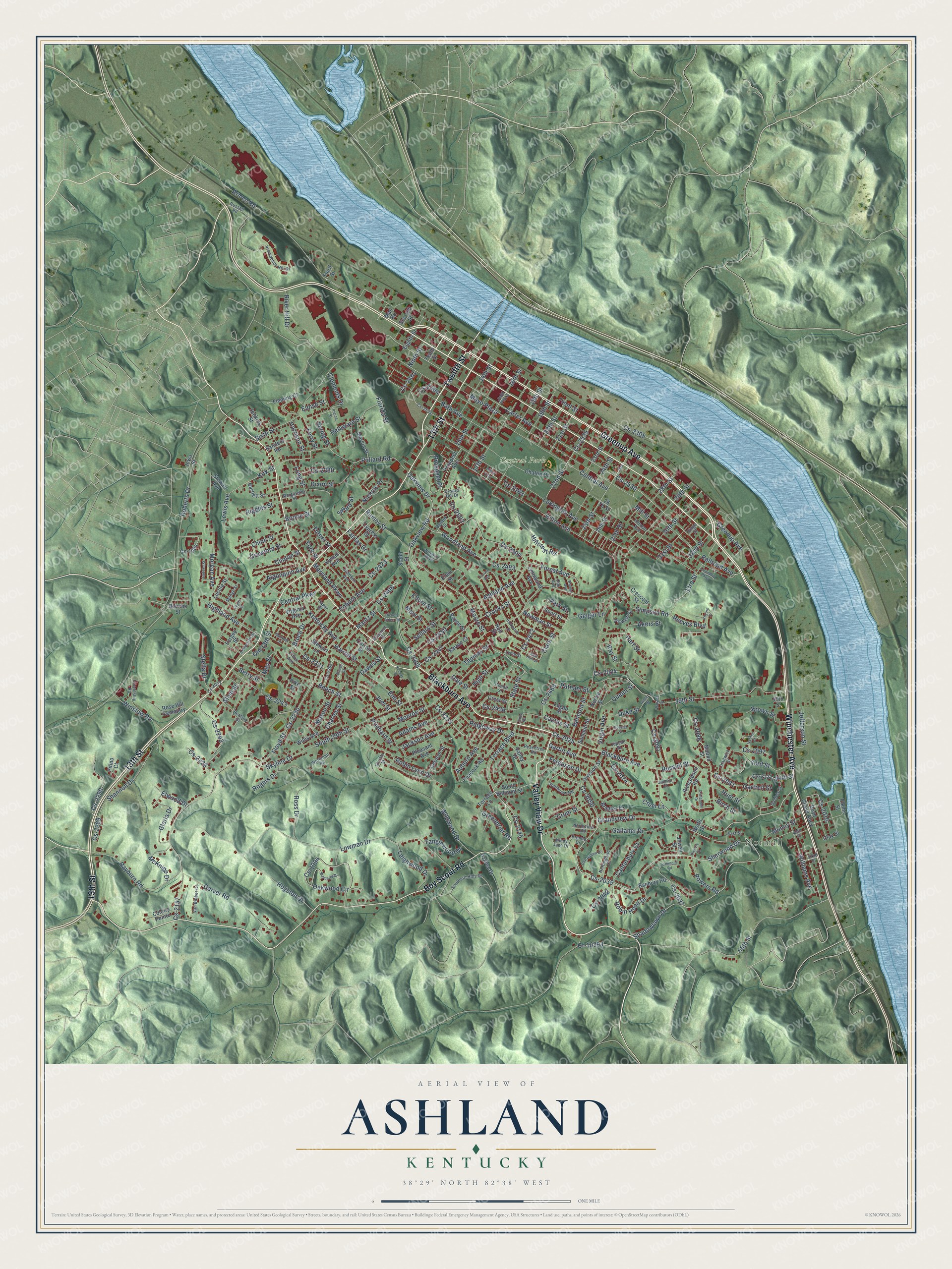
This beautifully detailed map of Ashland, Kentucky was created in 2026 using aerial imagery combined with modern topographical, census, street and landmark data. It’s a one-of-a-kind view of Ashland that combines accurate data with a vintage aesthetic. The map shows every building in its true location, many of the roads carry their names, and the shaded topographic relief shows the shape of the land.
Explore an aerial view of Ashland, Kentucky
On the map you’ll find Normal, Central Park, and Cs-2025, along with Winchester Avenue, 13th Street, Greenup Avenue, Blackburn Avenue, Valley View Drive, Twelfth Street, Boy Scout Road, Shadowlawn Drive, State Street, and more. If you look closely you can even find your house accurately drawn in its correct location. Zoom in on the preview to look for yours.
Did you know this piece of Ashland, Kentucky history?
From the Kentucky Historical Society: "The Ashland High School Tomcats' record of success includes 11 state championships. In 1944, the Tomcats played under the lights at Putnam Stadium for the first time."
Take a closer look at the Ashland map
Street and place names on the Ashland, Kentucky map
These names are printed on the map of Ashland, Kentucky.
Places: Normal, Central Park and Rose Hill Cemetery.
Streets and roads: Winchester Avenue, 13th Street, Greenup Avenue, Blackburn Avenue, Valley View Drive, Twelfth Street, Boy Scout Road, Cs-2025, Shadowlawn Drive, State Street, Moore Street, 32nd Street.
More street names, A to Z
14th Street, 15th Street, 16th Street, 17th Street, 18th Street, 19th Street, 20th Street, 21st Street, 22nd Street, 23rd Street, 24th Street, 25th, 25th Street, 26 Th Street, 26th Street, 27th Street, 28th Street, 29th Street, 30th Street, 31st Street, 33rd Street, 39th Street, 40th Street, 43rd Street, 44th Street, 49th Street, 52nd Street, 55th Street, Adams Avenue, Akers Street, Algonquin Avenue, Altamont Drive, Armco Road, Ashland Avenue, Ashworth Street, Auburn Avenue, Avery Street, Azalea Drive, Banbury Road, Bartlett Street, Barton Court, Bath Avenue, Bayberry Drive, Beech Street, Belmont Street, Berry Street, Birch Street, Blevins Street, Boone Street, Boyd Street Alley, Bradley Court, Brenda Drive, Brown Street, Bruce Drive, Cactus Street, Canterbury Court, Carolyn Street, Carroll Street, Carter Avenue, Central Avenue, Central Parkway, Chadwick Street, Charles Street, Chattin Drive, Chinn Street, Christy Street, Clark Street, Clay Street, Clements Drive, Clinton Street, Coburn Avenue, Cogan Street, Colony Pointe, Columbia Parkway, Condit Street, Crawford Street, Crescent Street, Crest Street, Crittenden Drive, Crooks Street, Crum Lane, Crum Street, Cs-1064, Cs-1094, Cs-1097, Cs-2016, Cs-2022, Cs-2024, Cs-2035, Cs-2037, Cs-2042, Cs-2050, Cs-2074, Cs-2081, Cs-2086, Cs-2091, Cs-2121, Cs-2145, Cs-2157, Cs-2163, Cs-2215, Cs-2226, Cs-2230, Cs-2231, Cs-2243, Cs-2265, Cs-2289, Cs-2290, Cs-2293, Cs-2305, Cs-2380, Cs-2401, Cs-2404, Cs-2405, Cs-2408, Cs-2423, Cs-2436, Cs-2447, Cs-2450, Cs-2468, Cs-2472, Cs-2493, Cs-2502, Cs-2503, Cs-2530, Cs-2534, Cs-2535, Cypress Street, Dale Street, Daniels Street, Dawes Street, Delaware Street, Division Street, Dixon Street, Duke Street, Dysard Hill Drive, Dysard Street, East Holt Street, East Street, Eighth Street, Elam Street, Elkins Street, Elliott Avenue, Elm Street, Eloise Street, Eltura Street, Elwood Drive, Fairfax Drive, Ferguson Drive, Ferry Street, Fleming Court, Florida Street, Floyd Street, Forest Avenue, Forgey Street, Friendship Road, Front Street, Gallaher Drive, Garden Court, Gartin Avenue, Gartrell Street, Garver Road, Geiger Lane, Gloria Drive, Grandview Drive, Greenbriar Road, Gussler Street, Hackworth Street, Hager Street, Harrison Street, Harrod Street, Hart Street, Herman Avenue, Hickory Ridge Road, Hickory Street, Highland Avenue, High Street, Hillcrest Road, Hilton Alley, Hilton Avenue, Hogsten Drive, Holt Street, Hunt Street, Hyman Avenue, Iowa Street, Jackson Avenue, James Court, Jefferson Street, Jenkins Street, Jepson Street, Jewell Street, Joel Street, Johnson Avenue, Judd Plaza, Kansas Street, Kentucky Avenue, Kilgore Drive, Kirk Street, Ladoka Street, Leighwood Drive, Lewis Avenue, Lexington Avenue, Linden Road, Locust Avenue, Logan Street, Long Street, Lowman Drive, Lucille Street, Lydia Street, Lynnwood Avenue, Madge Street, Main Street, Mall Road, Mantz Street, Marcia Street, Margarette Street, Maryland Parkway, Mason Street, Maxwell Street, Mayo Plaza, May Street, McKnipp Drive, Mill Street, Mindy Jane Drive, Monroe Street, Morgan Avenue, Mound Street, Muncy Street, Nervie Street, Newman Street, Nichols Place, Ninth Street, North Street, Northview Road, Nottingham Court, Oak Avenue, Oak Hollow Drive, Oakview Drive, Oakview Road, Oakwood Circle, Old 13th Street, Park Street, Payne Street, Peachtree Road, Peacock Road, Pierce Street, Pike Street, Pitino Court, Pleasant Avenue, Pollard Road, Powell Street, Powers Road, Prichard Street, Prospect Avenue, Prospect Place, Providence Hill Drive, Putnam Street, Queen Street, Railroad Avenue, Ramey Street, Ranch Court, Rayburn Road, Ray Street, Reeves Boulevard, Renfroe Street, Richardson Road, Ridgeway Drive, Riggles Street, Ringo Street, River Hill Drive, Roberts Drive, Robin Hood Drive, Robin Lynn Drive, Rogers Drive, Ross Drive, Russell Road, Russell Street, Sammons Road, Sanders Road, Sellars Street, Seventh Street, Shannon Drive, Sherwood Drive, Short Street, Simpson Road, Sixth Street, Skyline Drive, Slem Street, South 29th Street, South Belmont Street, Southern Hills Drive, Southview Road, Spring Street, Stabb Street, Stella Drive, Stewart Avenue, Stewart Lane, Summitt Street, Sword Street, Tanglewood Drive, Tenth Street, Terrace Boulevard, Terrace Lane, Third Street, Thomas Street, Turner Street, Valley Drive, Van Bibber Court, Virgin Avenue, Virginia Avenue, Wallace Street, Walnut Avenue, Wildwood Drive, Williams Avenue, Willis Avenue, Wilshire Boulevard, Winslow Road, Woodland Avenue, Workman Road, York Street.
See the Ashland, Kentucky map on a wall
The Ashland map as an 18 x 24 inch print in a black frame.

This beautifully detailed map of Ashland makes an attractive addition to your office, library, or den, and it can even be used to teach children the geography and history of the area. It also makes a great gift for someone who left Ashland and still calls it home. When you’re done exploring, click here to get your copy of the Ashland map.