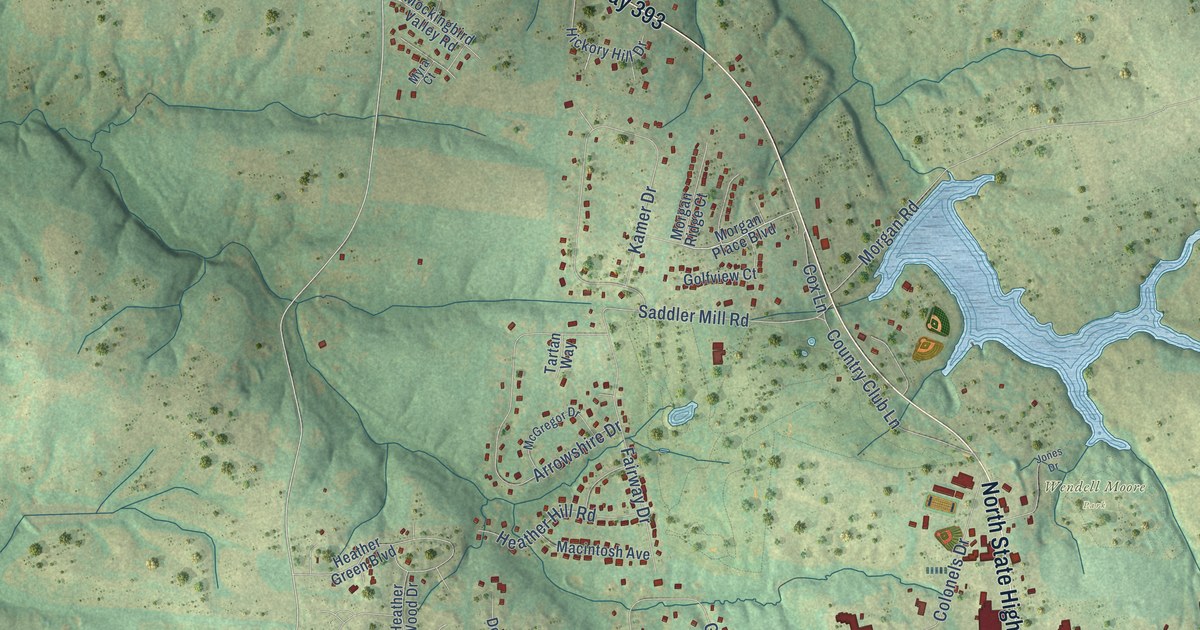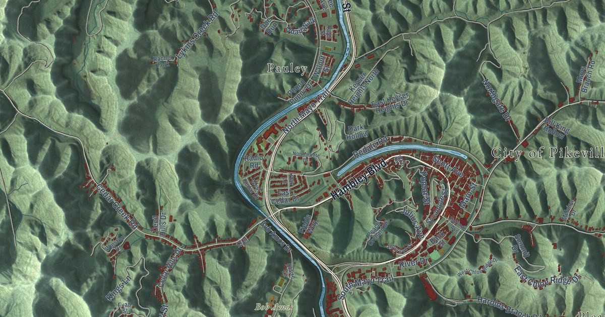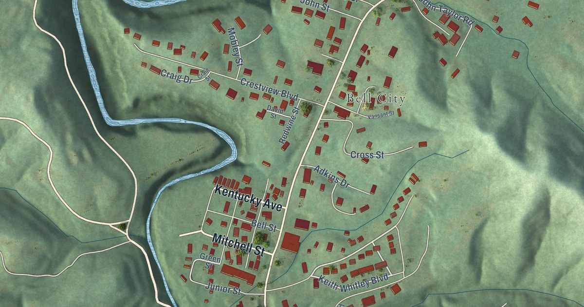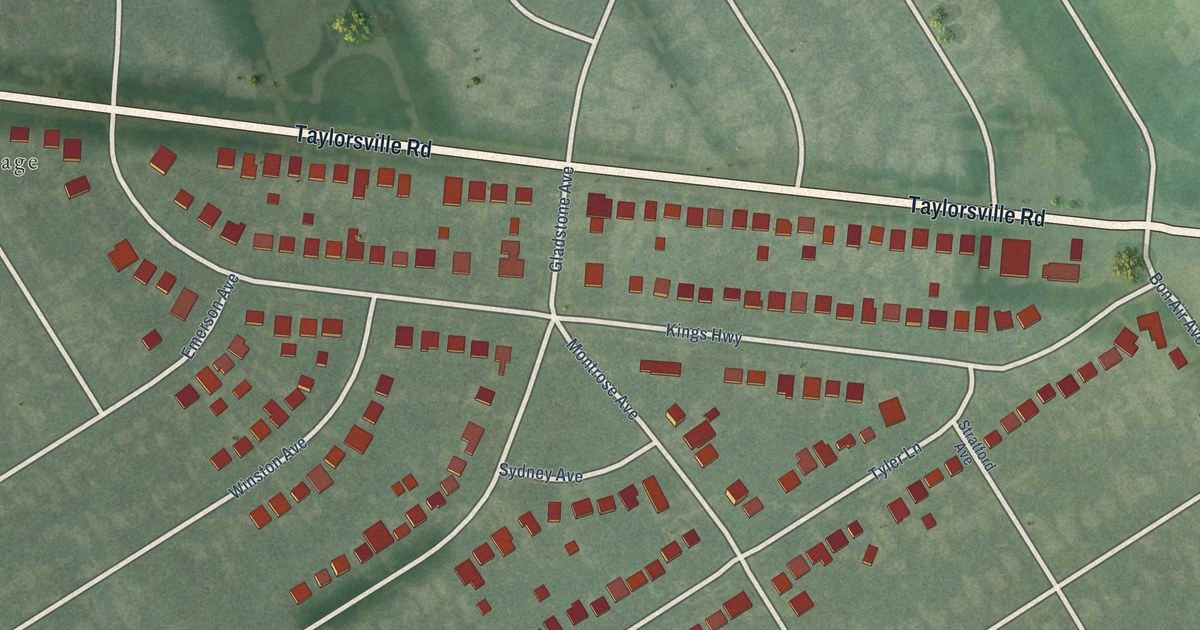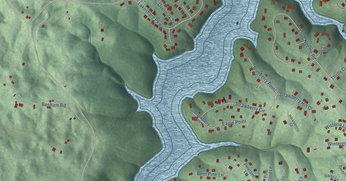
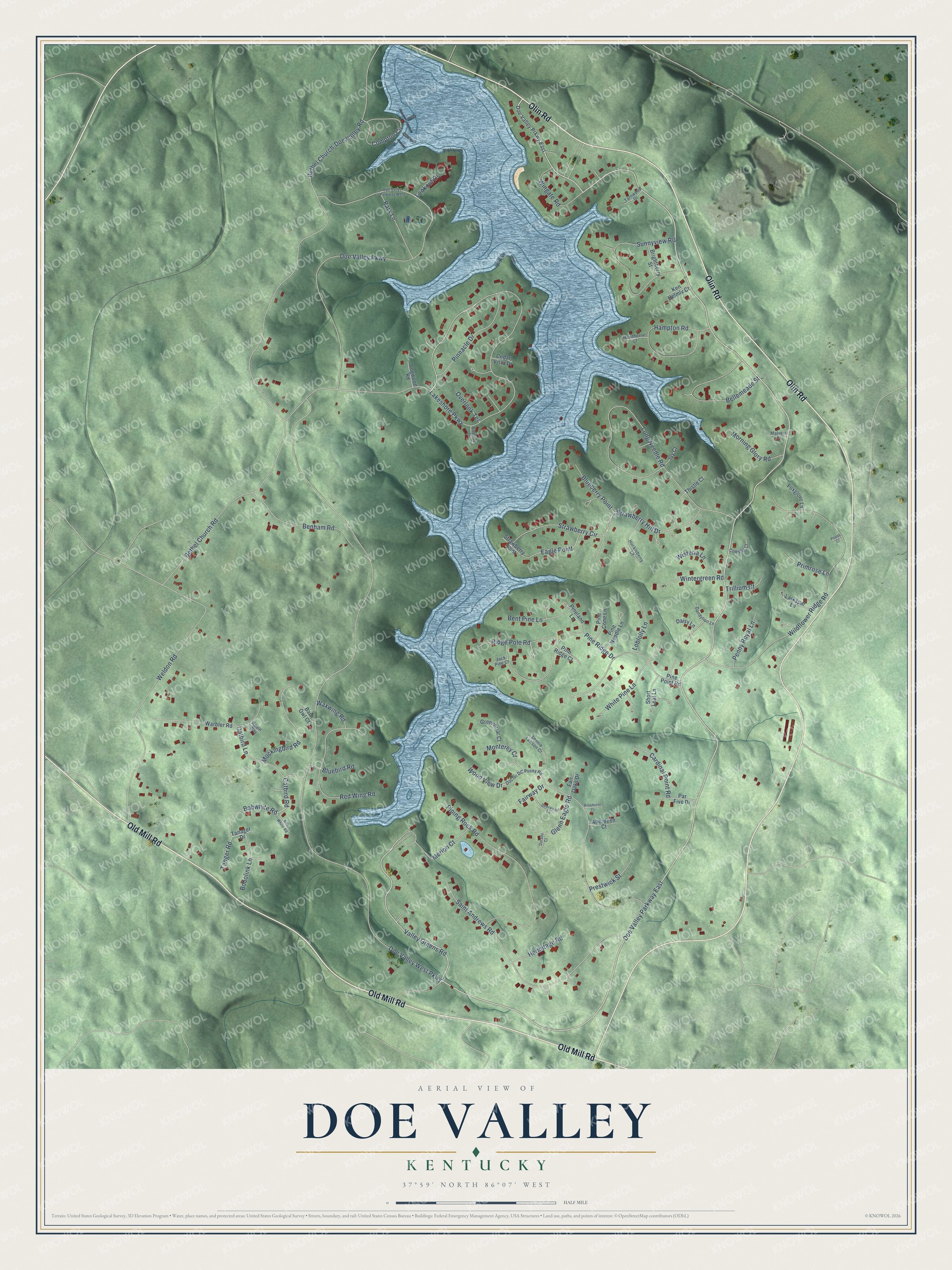
This beautifully detailed map of Doe Valley, Kentucky was created in 2026 using aerial imagery combined with modern topographical, census, street and landmark data. It's a modern aerial view of Doe Valley in Meade County, Kentucky, that combines modern data with a vintage aesthetic. The roads feature printed names, and if you look closely you can find your exact house accurately shown in its correct location.
Explore an aerial view of Doe Valley, Kentucky
On this map you'll find Olin Road, Old Mill Road, Doe Valley Parkway East, Valley Greens Road, Catbird Road, Lakeshore Parkway, Wood View Drive, Strawberry Hill Drive, Doe Valley West Parkway, Doe Valley Parkway, Bethel Church Road, Wildflower Ridge Road, and more. Each red shape is a building, so zoom in on the preview and look for yours.
Doe Valley is a community in Meade County. The Census Bureau counted 2,270 people here in 2020. Doe Valley sits about 4 miles east of Brandenburg, 5 miles northeast of Ekron and 7 miles northwest of Muldraugh. The map prints the town name in its title panel, with the coordinates below it.
Take a closer look at the Doe Valley map
Names on this map
These names are printed on this map.
Streets and roads: Olin Road, Old Mill Road, Doe Valley Parkway East, Valley Greens Road, Catbird Road, Lakeshore Parkway, Wood View Drive, Strawberry Hill Drive, Doe Valley West Parkway, Doe Valley Parkway, Bethel Church Road, Wildflower Ridge Road.
More street names, A to Z
Aberdeen Court, Barn Owl Court, Bayside Lane, Bellemeade Street, Benham Road, Bent Pine Lane, Bethel Church-Doe Valley Road, Blueberry Point, Bluebird Road, Bobolink Lane, Bobwhite Road, Bob White Road, Brightberry Street, Cardinal Point Road, Catbird Lane, Cedar Vista Drive, Compton Circle, Cowslip Court, Daisy Lane, Dandylion Lane, Deerwood Lane, Doctor DC Pusey Road, Doe Valley Parkway West, Doe Valley Prkwy East, Dogwood Road, Dorado Court, Eagle Point, Fair Oaks Drive, Fairway Drive, Foxglove Lane, Glenn Eagle Road, Greenbriar Court, Hampton Road, Hawthorne Court, Hermitage Road, Huckleberry Court, Ivy Court, Jack Pine Court, Ken Helmly Court, Larkspar Lane, Loblolly Lane, Long Needle Road, Lonnie Lawson Court, Lookout Drive, Malvern Court, Merion Court, Mockingbird Road, Monterey Court, Morning Glory Road, Overlook Terrace, Par Five Drive, Park Lane, Penny Royal Lane, Pine Cone Lane, Pinehurst Court, Pineland Lane, Pine Needle Lane, Pine Point Road, Pine Ridge Court, Pine Ridge Drive, Pinnacle Drive, Piping Rock Road, Poppy Court, Prestwick Street, Primrose Lane, Red Wing Road, Ridge Pole Road, Robin Way, Saint Andrews Road, Short Leaf Lane, Strawberry Circle, Strawberry Point, Sunnyview Road, Tanager Drive, Tanger Road, Tarnwood Drive, Thistle Court, Trillium Court, Warbler Road, Waxwing Road, Weldon Road, White Pine Lane, Wingate Road, Wintergreen Road, Wisteria Lane.
See it on a wall
The Doe Valley map as a framed print. Swipe for more.


Created by KNOWOL in 2026. The buildings are small red shapes, the roads carry their printed names, and shaded relief shows the shape of the land. The title panel reads "AERIAL VIEW OF DOE VALLEY, KENTUCKY" with 37°59' NORTH 86°07' WEST.
It looks right in a kitchen, an office or a den, and it's a gift for anyone who grew up in Doe Valley or moved away. Open the preview and find your street. See sizes and frames for the Doe Valley map.