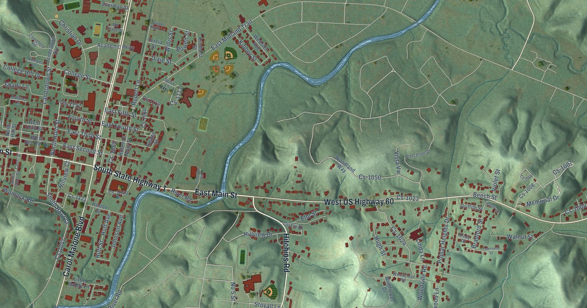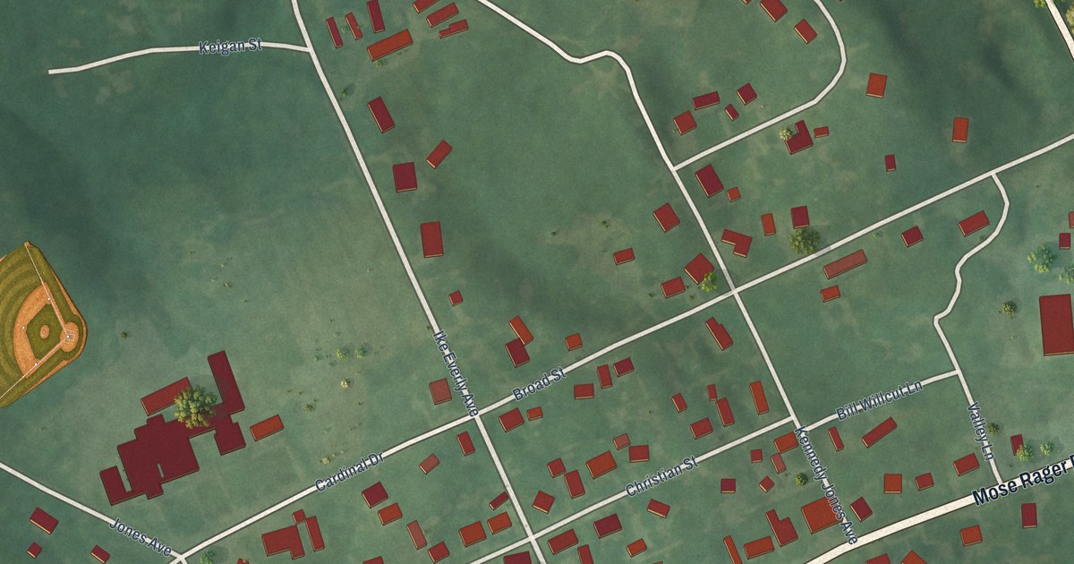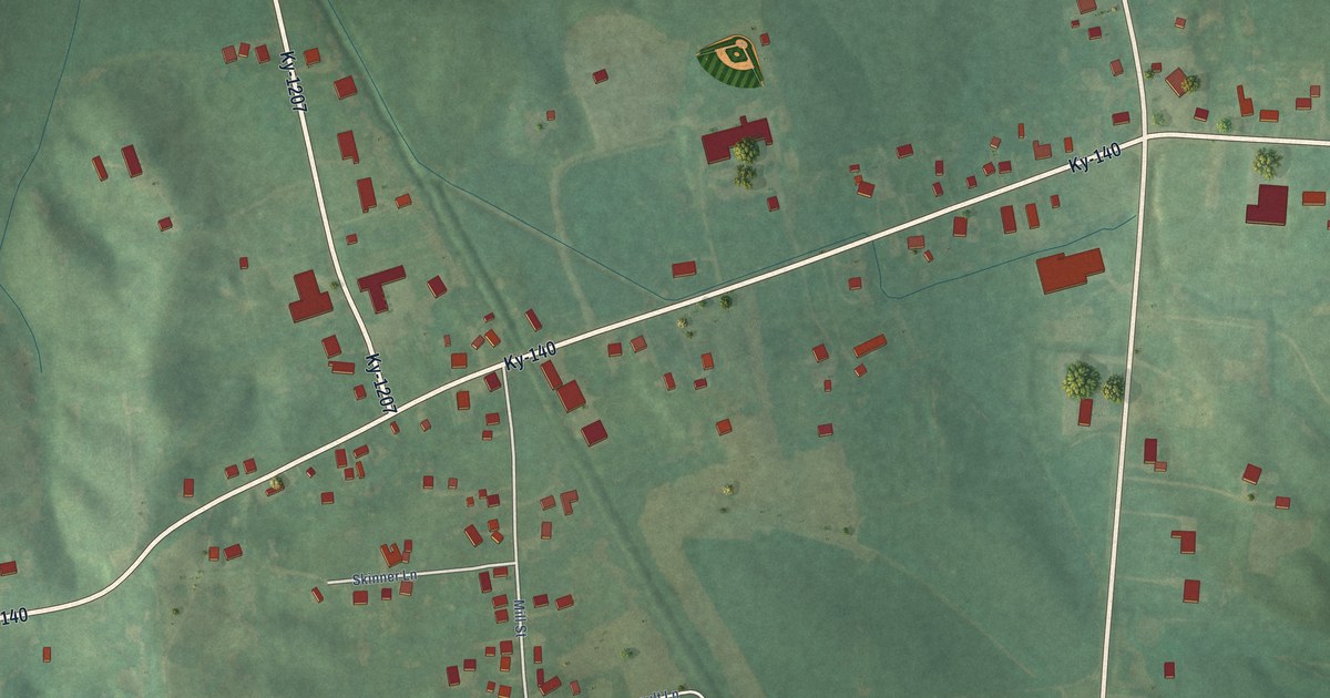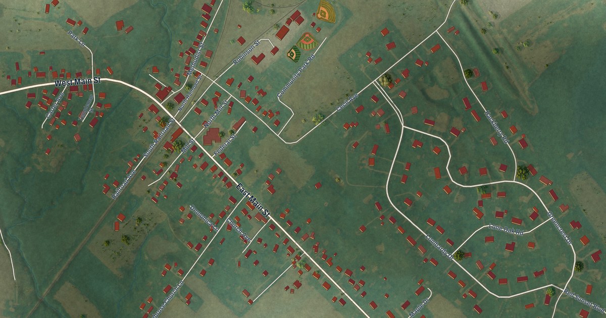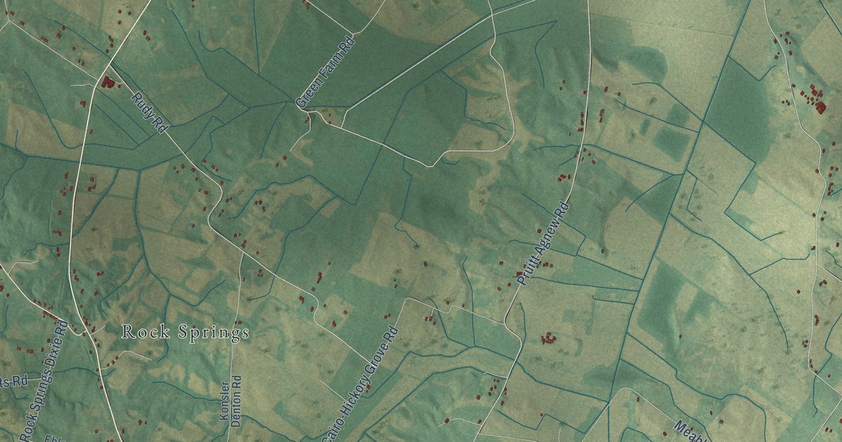
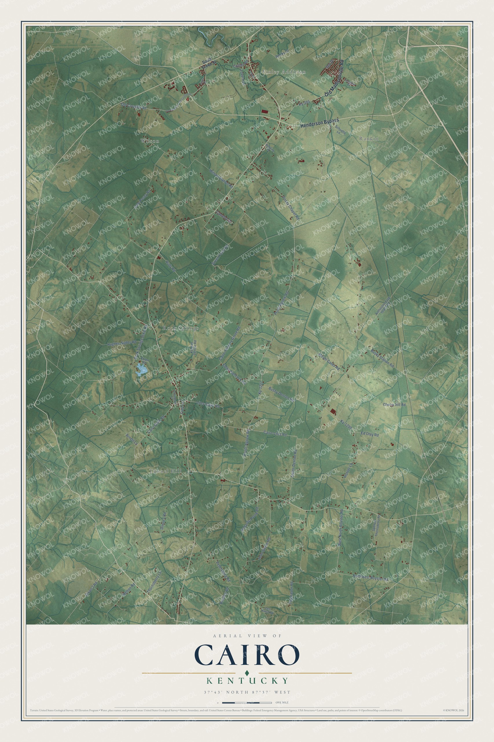
This beautifully detailed map of Cairo, Kentucky was created in 2026 using aerial imagery combined with modern topographical, census, street and landmark data. It’s a one-of-a-kind view of Cairo that combines accurate data with a vintage aesthetic. The map shows every building in its true location, many of the roads carry their names, and the shaded topographic relief shows the shape of the land.
Explore an aerial view of Cairo, Kentucky
On the map you’ll find Finley Addition, Tunnel Hill, Wilson, Rock Springs, and Rankin, along with Henderson Bypass, Old Madisonville Road, Dixon 2 Road, Ilex Drive, Old Corydon Road, Cairo Dixie Road, Green Farm Road, and more. If you look closely you can even find your house accurately drawn in its correct location. Zoom in on the preview to look for yours.
Did You Know?
From Internet Archive: "LAWS OF KENTUCKY. 293 CHAPTER 609. jgyg AN ACT to amend an net, entitled'* An act to incorporate the Cairo and Tennessee River Railroad Companj,'* approved March 10, 1873."
Cairo is a community in Henderson County.
Take a closer look at the Cairo map
Names on this map
These names are printed on this map.
Places: Finley Addition, Tunnel Hill, Wilson, Rock Springs and Rankin.
Streets and roads: Henderson Bypass, Old Madisonville Road, Dixon 2 Road, Ilex Drive, Old Corydon Road, Cairo Dixie Road, Green Farm Road, Ky-1299, Pruitt-Agnew Road, Ky-1217, Pruitt Agnew Road, Cairo-Liles Road.
More street names, A to Z
Anthoston-Frog Island Road, Arnett Lane, Bradley Road, Busby Denton Road, Busby Station Road, Cairo-Hickory Grove Road, Camelot Drive, Carter Drive, Cherry Hill Road, Collier Road, Cottingham Lane, Dixon 1 Road, Eblen Hancock Road, Eblen Road, Ed Otey Road, Fruit Lane, Hughes-Sights Road, Hunter Lane, Jane Posey Road, John Steele Road, Konsler Denton Road, Ky-285, Leo Hurst Road, Liles-Cairo Road, Lovers Lane, Meahl Cates Road, Melton Road, Northwest Royster Road, O'Grady Street, Old Henderson-Old Corydon Road, Petersburg Road, Posey Chapel Road, Robards-Poole Road, Rocks Drive, Rock Springs Dixie Road, Rudy Road, Schuette Lane, Smith-Denton Road, South Green Street, Spencer Thornsberry Road, Thomason Road, Thornsberry Lane, Turnagain Drive, Wedding Lane, West North Royster Road, Wilson Station Road.
See it on a wall
The Cairo map as a framed print. Swipe for more.


This beautifully detailed map of Cairo makes an attractive addition to your office, library, or den, and it can even be used to teach children the geography and history of the area. It also makes a great gift for someone who left Cairo and still calls it home. When you’re done exploring, click here to get your copy of the Cairo map.