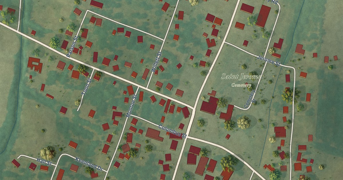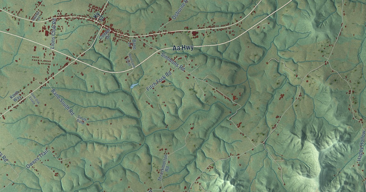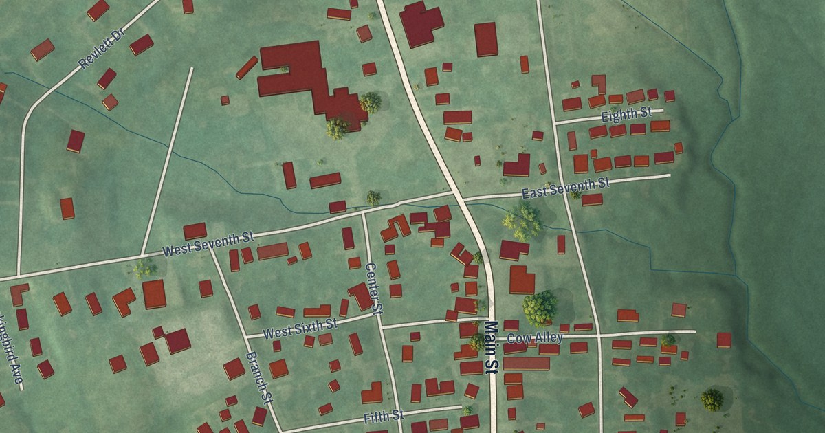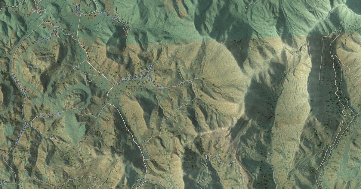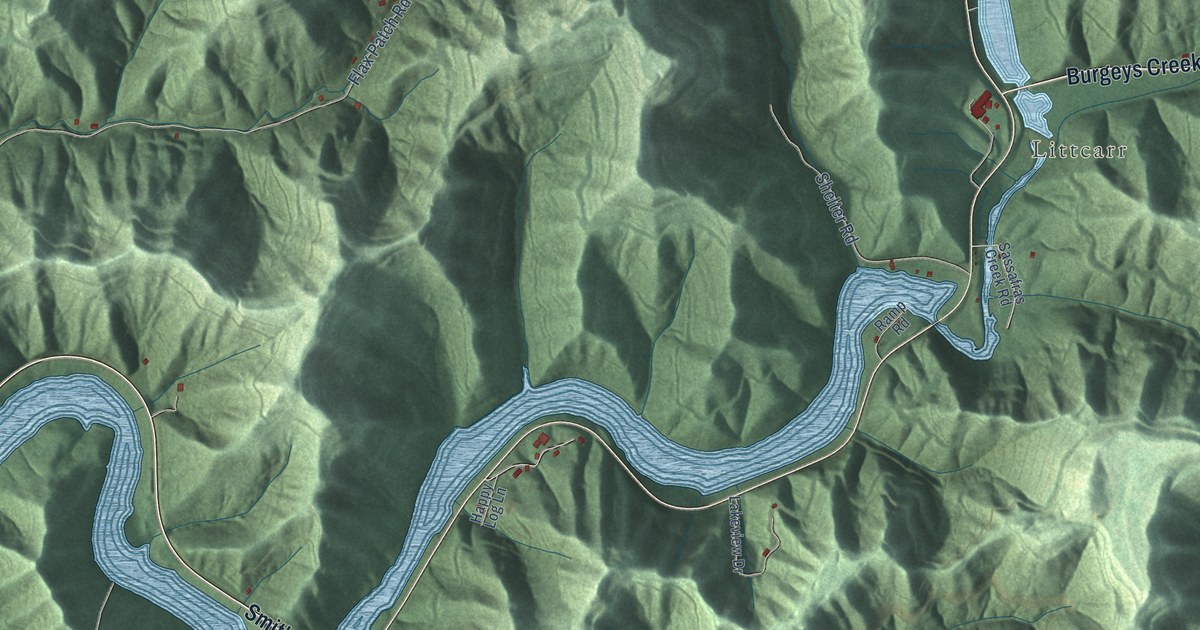
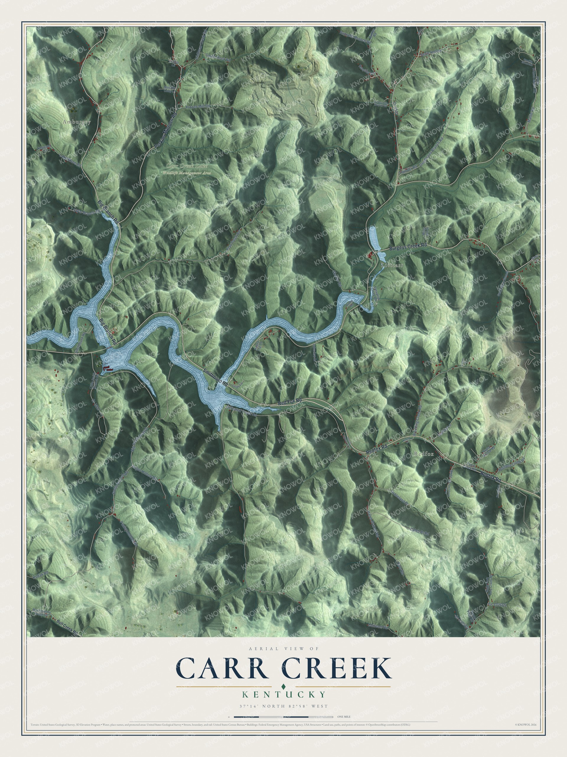
This beautifully detailed map of Carr Creek, Kentucky was created in 2026 using aerial imagery combined with modern topographical, census, street and landmark data. It’s a one-of-a-kind view of Carr Creek that combines accurate data with a vintage aesthetic. The map shows every building in its true location, many of the roads carry their names, and the shaded topographic relief shows the shape of the land.
Explore an aerial view of Carr Creek, Kentucky
On the map you’ll find Amburgey, Redfox, Littcarr, Carr Creek Lake Wildlife Management Area, and Big Smith Branch, along with Big Branch Road, Smithboro Road, Redfox Road, Perkins Madden Road, Burgeys Creek Road, Defeated Creek Road, and more. If you look closely you can even find your house accurately drawn in its correct location. Zoom in on the preview to look for yours.
Did You Know?
From Internet Archive: "IN KENTUCKY A Kentucky boy, W, Madden, of the famous Carr Creek high school basketball team, is a good example of the supposition that marriage is not a detriment."
Carr Creek is a community in Knott County.
Take a closer look at the Carr Creek map
Names on this map
These names are printed on this map.
Places: Amburgey, Redfox, Littcarr and Carr Creek Lake Wildlife Management Area.
Streets and roads: Big Branch Road, Smithboro Road, Redfox Road, Perkins Madden Road, Red Fox Road, Burgeys Creek Road, Defeated Creek Road, Big Smith Branch, Smith Branch Road, Breeding Creek Road, Flax Patch Road, Wolfpen Creek Road.
More street names, A to Z
Argon Hollow Road, Bull Creek Road, Bunker Road, Cabin Creek Road, Caleb Br Road, Castle Rock Road, Chissom Road, Cody Lane, Collins Drive, Cr-1146, Cr-1217, Cr-1521, Deadmans Branch Road, Dead Mare Branch, Fronia Lane, Frozen Mill Road, Graceland Drive, Hale Road, Hales Branch Road, Happy Log Lane, Irishman Creek Road, Kenny Lane, Kodak Road, Lake Shore Road, Lakeview Drive, Little Smith Branch Road, Mallie Road, Maurice Cody Lane, Montgomery Creek Road, Old US Highway 15 Lp, Pauley Hollow Road, Peach Orchard Road, Pelfrey Lane, Poplar Hollow Road, Porcupine Lane, Ramp Road, Right Fork Doty Creek Road, Rooster Lane, Runnells Branch Road, Sandlin Mountain, Sassafras Creek Road, Seals Hollow, Shady Lane, Shelter Road, Sims Lane, Smith Branch-Mallie Road, Sugar Branch Road, Sunny Point Road, Thunder Road, Tidewater Lane, Turkey Hen Branch Road, Wiley Hill Drive.
See it on a wall
The Carr Creek map as a framed print. Swipe for more.


This beautifully detailed map of Carr Creek makes an attractive addition to your office, library, or den, and it can even be used to teach children the geography and history of the area. It also makes a great gift for anyone who grew up in Carr Creek or moved away. When you’re done exploring, click here to get your copy of the Carr Creek map.