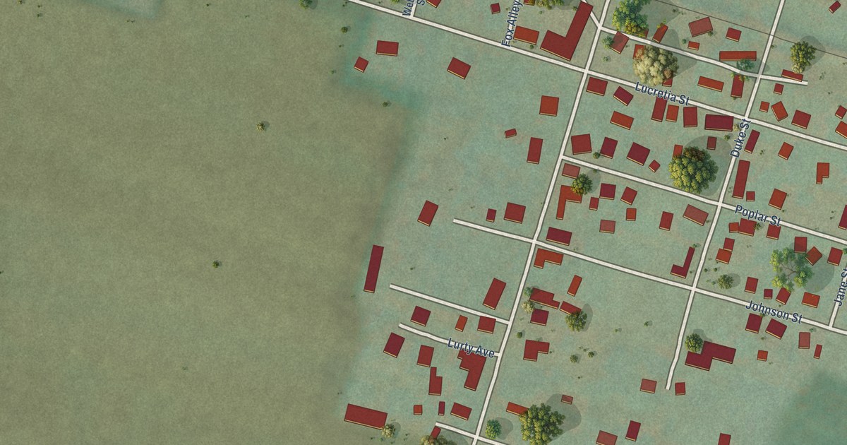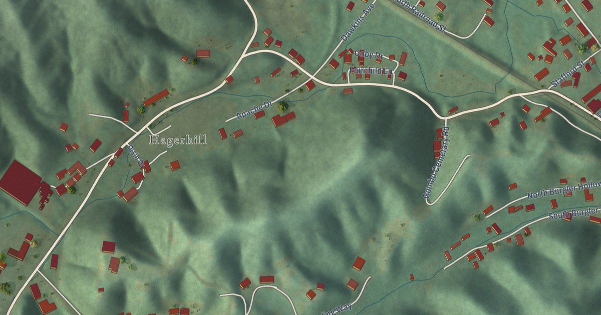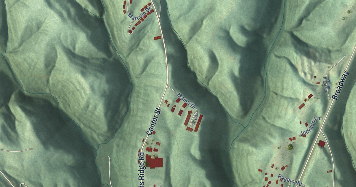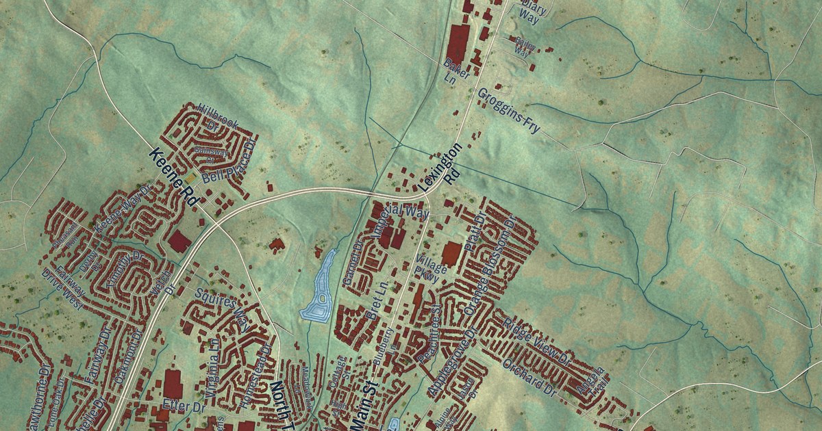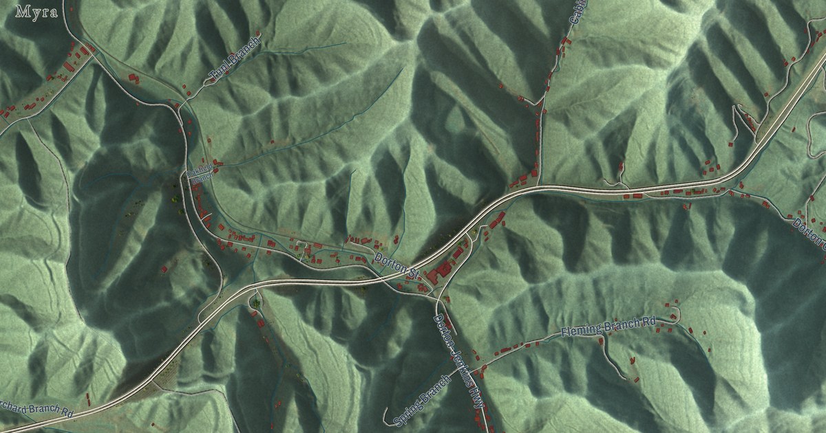
This beautifully detailed map of Dorton, Kentucky was created in 2026 using aerial imagery combined with modern topographical, census, street and landmark data. It’s a one-of-a-kind view of Dorton that combines accurate data with a vintage aesthetic. The map shows every building in its true location, many of the roads carry their names, and the shaded topographic relief shows the shape of the land.
Explore an aerial view of Dorton, Kentucky
On the map you’ll find Lionilli, Elimer, and Myra, along with Joes Branch Road, Dorton Jenkins Highway, Booker Br Road, Jonancy Lane, Wrights Fork Road, Lick Fork Road, Flatwoods Access Road, Blaze Branch Road, and more. If you look closely you can even find your house accurately drawn in its correct location. Zoom in on the preview to look for yours.
Did You Know?
From Internet Archive: "In 1018 he moved to Dorton and struck the first pick into the ground when the Kentucky By- Products Company opened its mine there."
Dorton is a community in Pike County.
Take a closer look at the Dorton map
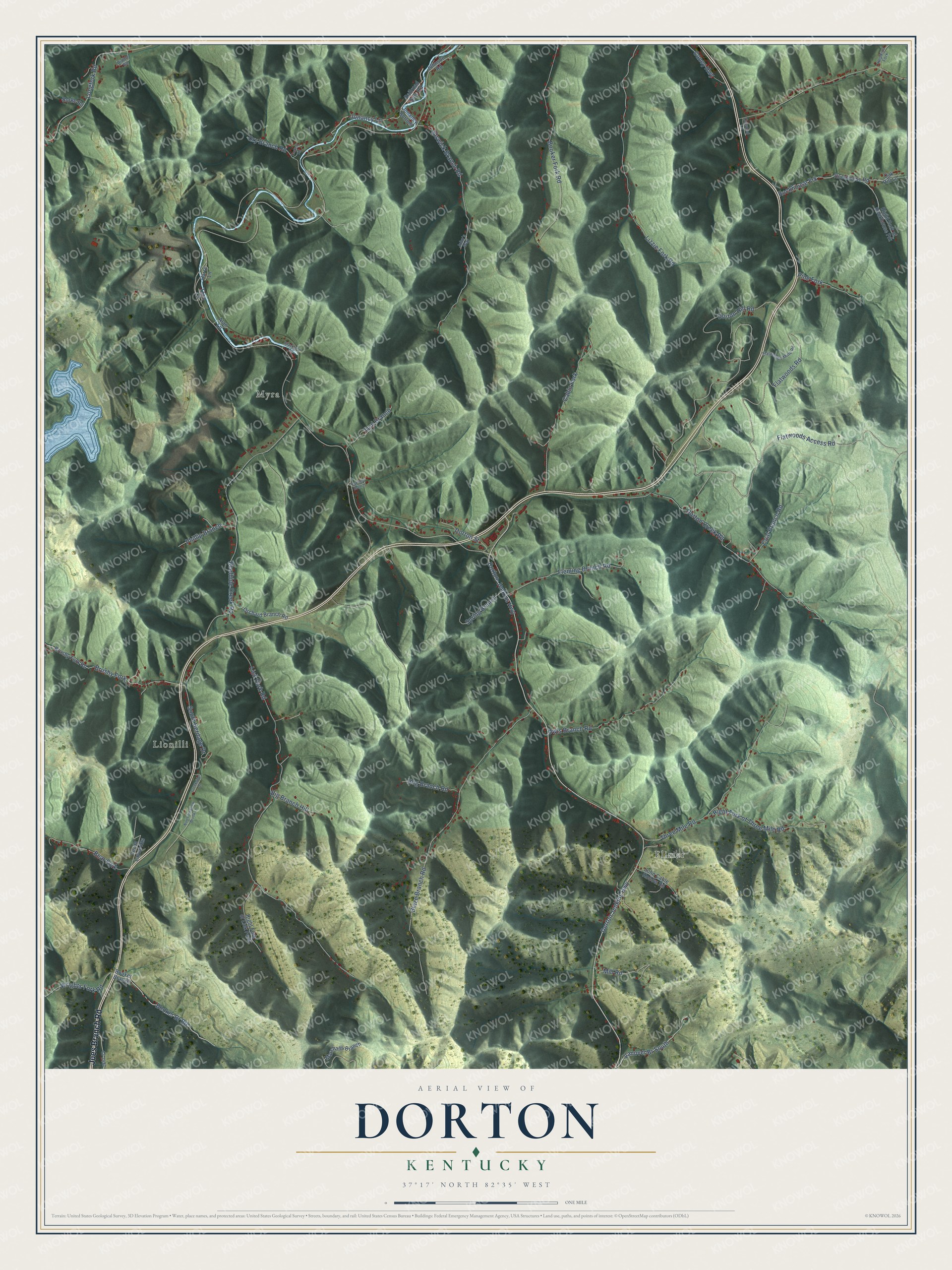
Names on this map
These names are printed on this map.
Places: Lionilli, Elimer and Myra.
Streets and roads: Joes Branch Road, Dorton Jenkins Highway, Booker Br Road, Dorton-Jenkins Highway, Jonancy Lane, Wrights Fork Road, Lick Fork Road, Flatwoods Access Road, Blaze Branch Road, Dorton Hill Road, Dorton Creek Road, Beefhide Creek Road.
More street names, A to Z
Alan Lane, Bear Fork, Big Branch Hill, Blackburn Road, Booker Branch, Booker Fork Road, Brushy Fork, Brushy Fork Road, Burke Road, Cabin Fork, Caney Highway, Cawood Lane, Coal Branch Road, Cr-1487, Creekside Drive, Dorton Street, Dry Branch Road, Elswick Branch Road, Flatwoods Mine Road, Flatwoods Road, Fleming Branch Road, Harry Lane, Hog Branch Road, Hopkins Fork, John's Way, John Cable Hollow Road, Johnson Road, Jonancy Bottom, Lizzie Fork Road, Longfork Road, Marshalls Branch, Mill Road, North Meadow Brook Lane, Oakfield Branch, Oak Hill Lane, Orchard Branch Road, Owls Branch Road, Phillip Branch, Pine Fork, Railroad Side Road, Riddle Road, Right Fork of Lick Fork, Right Fork of Rockhouse Frk, Right Fork of Three Mile Road, Rockhouse Frk, Rockhouse Road, South Heritage Drive, Spring Branch, Tackett Road, Teco Lane, Three Mile Road, Tunl Branch, Vanover Br South, Verna Layne Heights.
See it on a wall
The Dorton map as a framed print. Swipe for more.


This beautifully detailed map of Dorton makes an attractive addition to your office, library, or den, and it can even be used to teach children the geography and history of the area. It also makes a great gift for anyone with Dorton roots. When you’re done exploring, click here to get your copy of the Dorton map.