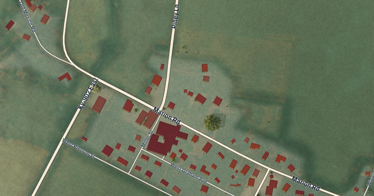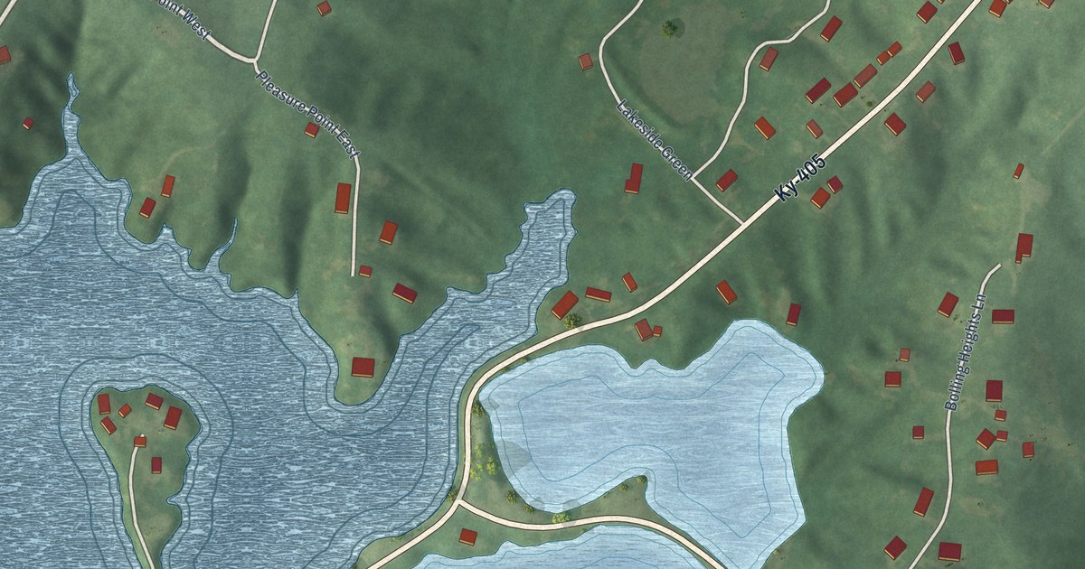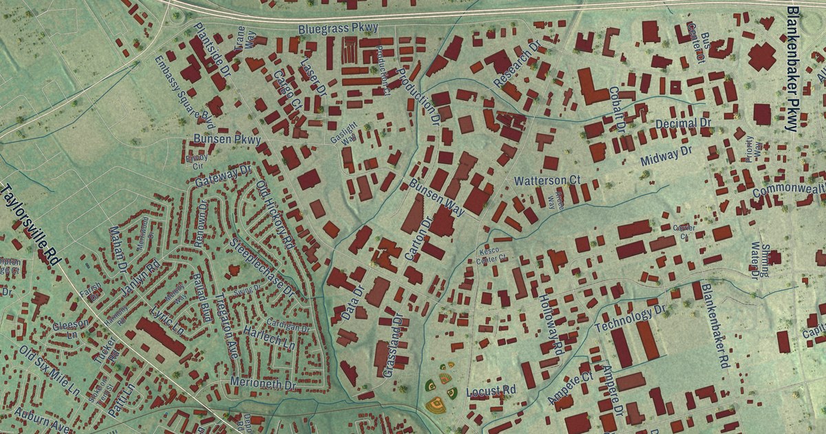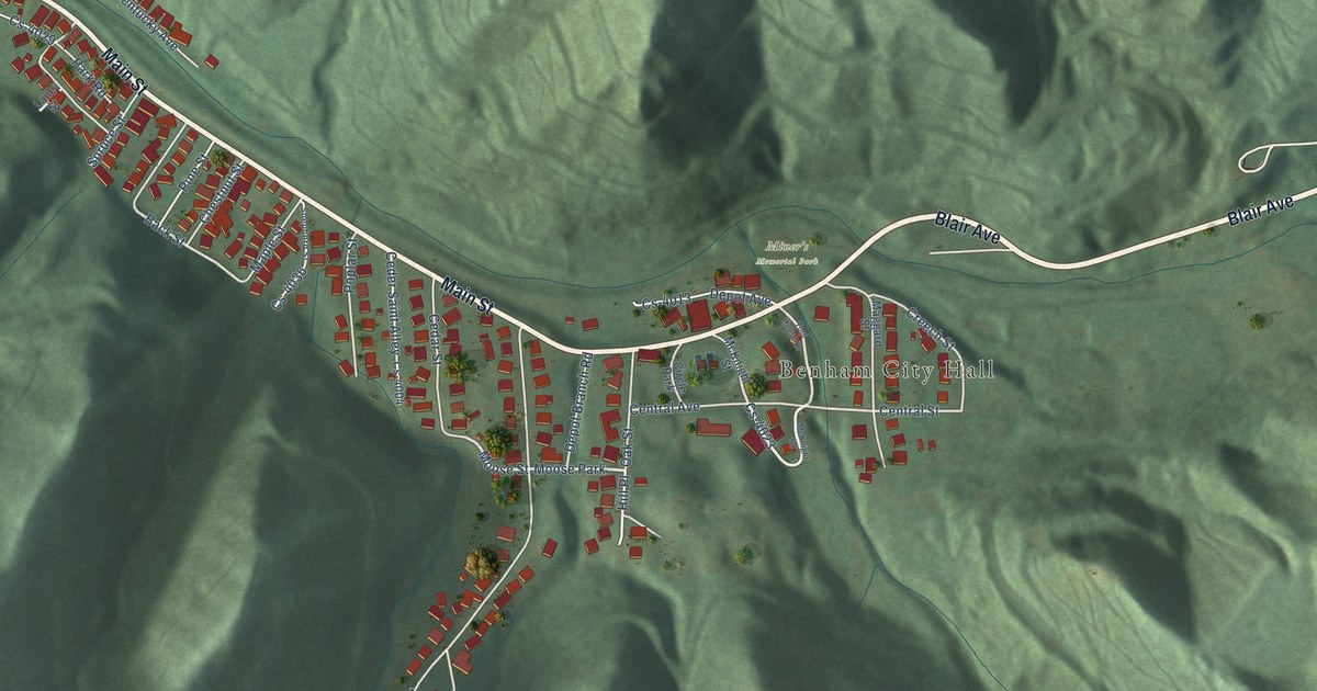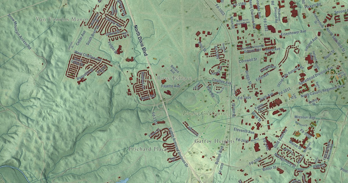
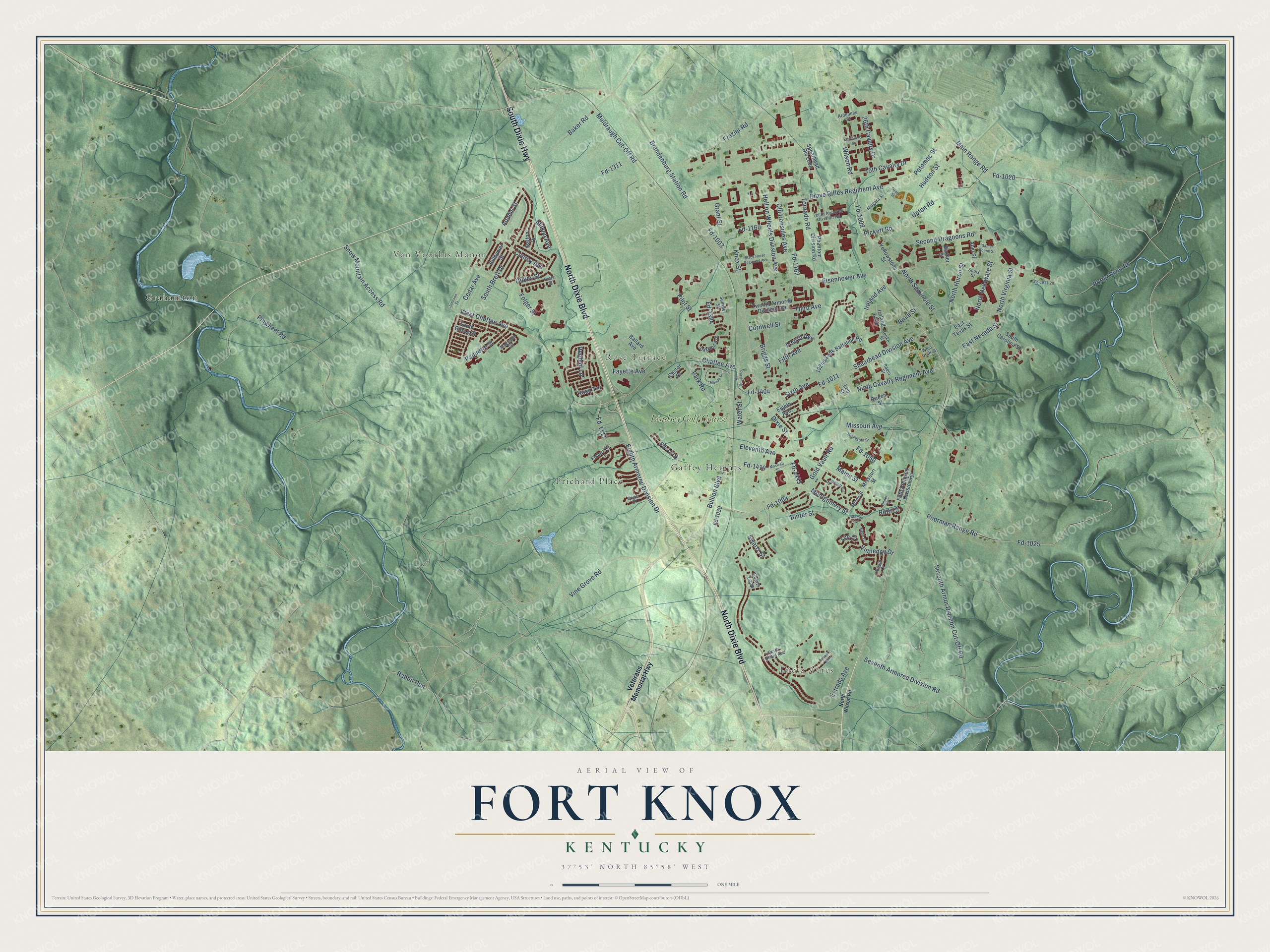
This beautifully detailed map of Fort Knox, Kentucky was created in 2026 using aerial imagery combined with modern topographical, census, street and landmark data. It’s a one-of-a-kind view of Fort Knox that combines accurate data with a vintage aesthetic. The map shows every building in its true location, many of the roads carry their names, and the shaded topographic relief shows the shape of the land.
Explore an aerial view of Fort Knox, Kentucky
On the map you’ll find Dietz Acres, Van Voorhis Manor, Gaffey Heights, Grahamton, Prichard Place, Lindsey Golf Course, and Rabbit Run, along with Rose Terrace, South Dixie Highway, North Dixie Boulevard, Vine Grove Road, Chaffee Avenue, and more. If you look closely you can even find your house accurately drawn in its correct location. Zoom in on the preview to look for yours.
Did you know this piece of Fort Knox, Kentucky history?
From the Kentucky Historical Society: "Established in 1918 as artillery range and named for Major General Henry Knox, who organized artillery during the Revolutionary War. Mechanized cavalry training began in 1931."
Take a closer look at the Fort Knox map
Street and place names on the Fort Knox, Kentucky map
These names are printed on the map of Fort Knox, Kentucky.
Places: Dietz Acres, Van Voorhis Manor, Rose Terrace, Gaffey Heights, Grahamton, Prichard Place and Lindsey Golf Course.
Streets and roads: South Dixie Highway, North Dixie Boulevard, Vine Grove Road, Chaffee Avenue, Rabbit Run, Fayette Avenue, Knox Street, Seventh Armored Division Road, Dixie Street, Old Ironsides Avenue, Fd-1002, Wilson Road.
More street names, A to Z
15th Cavalry Drive, 26th Cavalry Drive, 192nd Tank Battalion Road, Abel Street, Adams Street, Allison Avenue, Ardennes Street, Austin Court, Bacher Street, Baker Road, Ballard Avenue, Bennett Avenue, Billhymer Street, Binter Street, Bitner Street, Black Horse Regiment Avenue, Brandenburg Station Road, Brave Rifles Regiment Avenue, Briggs Street, Brule Street, Bullion Boulevard, Cedar Avenue, Conroy Avenue, Cooke Street, Cornwell Street, Custer Drive, Dalton Drive, Daniel Boone Street, East Nevada Street, East Texas Street, Eighth Armored Division Drive, Eighth Avenue, Eisenhower Avenue, Eleventh Avenue, Estrada Avenue, Evans Loop, Fd-1003, Fd-1004, Fd-1011, Fd-1011-20, Fd-1020, Fd-1025, Fd-1039, Fd-1050, Fd-1111, Fd-1116, Fd-1160, Fd-1162, Fd-1311, Fd-1384, Fd-1404, Fd-1419, Fd-1443, Fifth Armored Division Road, Fifth Avenue, Fisher Court, Folger Street, Fourth Avenue, Frazier Road, Gilkey Street, Gold Vault Road, Grant Street, Hell on Wheels Division Avenue, Hiers Street, Hudson Street, Ireland Avenue, Ireland Loop, Jamison Street, Lee Court, Lee Street, Madox Court, Magnolia Circle, Maine Street, Main Range Road, Maxwell Street, McDevett Circle, Meade Drive, Miami Street, Minnesota Street, Missouri Avenue, Missouri Street, Montgomery Street, Muldraugh Cut-Off Road, Niagara Street, Ninth Cavalry Regiment Avenue, North Beard Avenue, North Delaware Street, North Huron Street, North Seminole Street, North Virginia Street, North Wilson Road, Oakland Avenue, Ozark Street, Paquette Street, Park Road, Pershing Drive, Phantom Division Road, Pickett Road, Pilot Street, Pinwheel Road, Poorman Range Road, Porter River Road, Potomac Street, Queen Street, Radio Street, Redbud Lane, Rhineland Street, Roth Court, Second Dragoons Road, Seventh Armor Division Cut-Off Road, Siglin Court, Sixth Avenue, Snow Mountain Access Road, Souix Street, South Brett Drive, South Carolina Street, South Gilkey Street, Spearhead Division Avenue, Spearhead Div Loop, Summer Street, Swartz Street, Tenth Armored Division Road, Third Avenue, Tornado Road, Twelfth Armored Division Avenue, Unger Court, Upton Road, Veterans Memorial Highway, Vinnedge Drive, Water Street, West Chaffee Avenue, West Utah Street, Yellowstone Street.
See the Fort Knox, Kentucky map on a wall
The Fort Knox map as an 18 x 24 inch print in a black frame.

This beautifully detailed map of Fort Knox makes an attractive addition to your office, library, or den, and it can even be used to teach children the geography and history of the area. It also makes a great gift for someone who left Fort Knox and still calls it home. When you’re done exploring, click here to get your copy of the Fort Knox map.