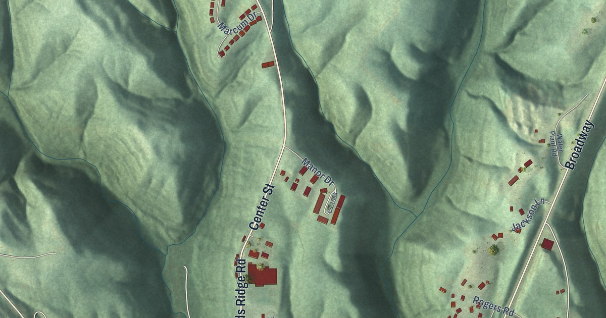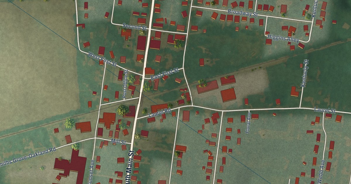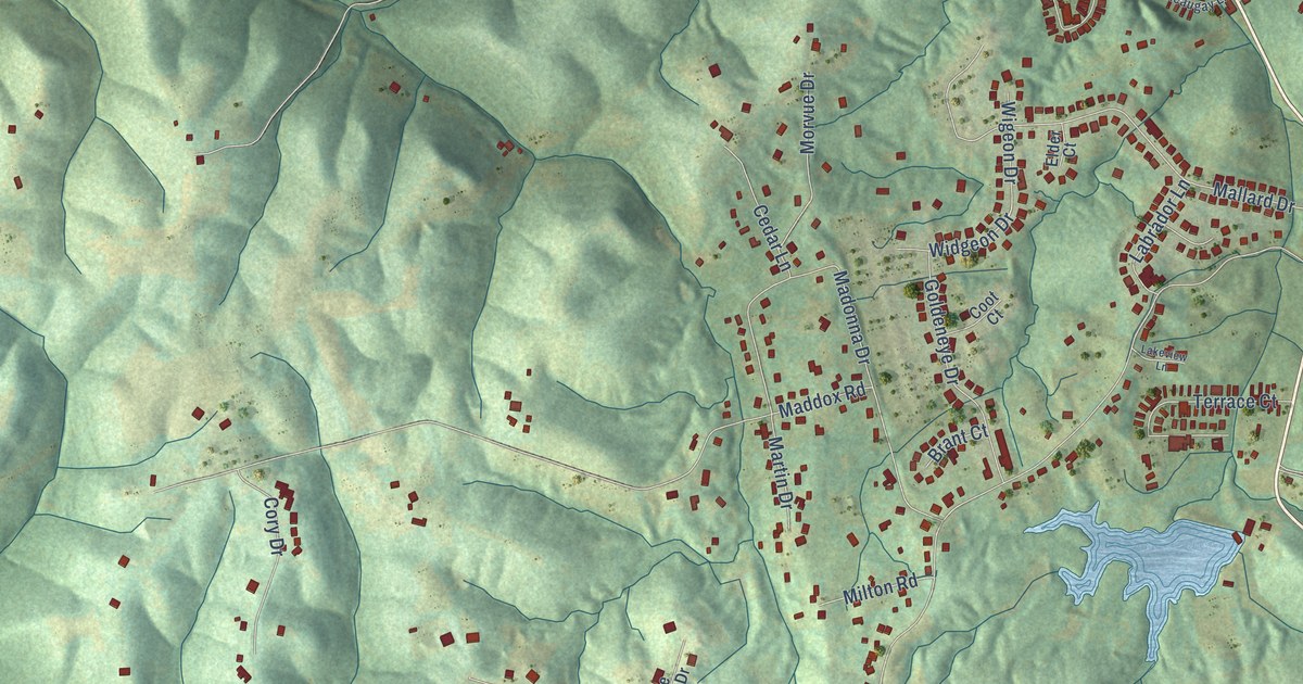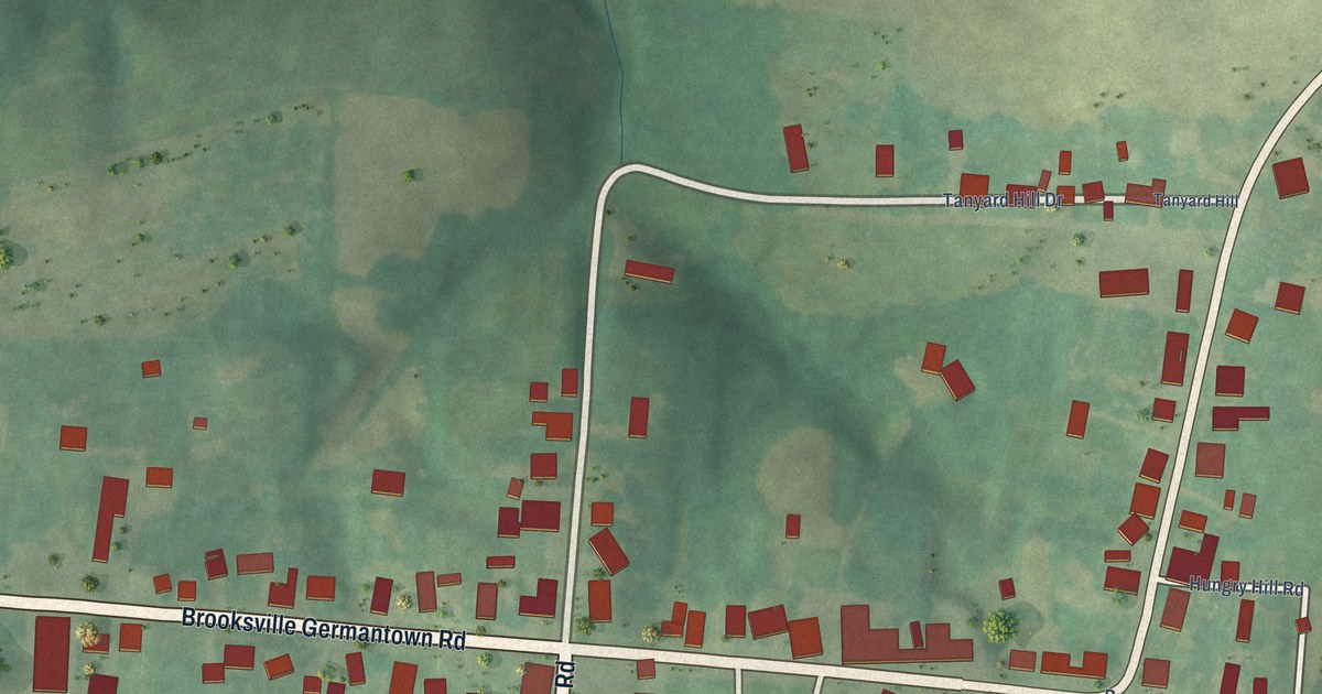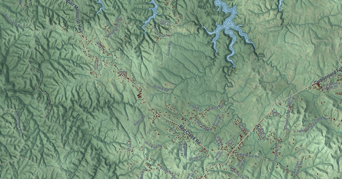
This beautifully detailed map of Grove, Kentucky was created in 2026 using aerial imagery combined with modern topographical, census, street and landmark data. It’s a one-of-a-kind view of Grove that combines accurate data with a vintage aesthetic. The map shows every building in its true location, many of the roads carry their names, and the shaded topographic relief shows the shape of the land.
Explore an aerial view of Grove, Kentucky
On the map you’ll find Youngs Creek, along with Cumberland Falls Highway, Blair Memorial Highway, Bee Creek Road, Little Spruce Creek Road, Devil Creek Road, Forest Road, Grove Road, Frankfort School Road, Tidal Wave Road, Deering Road, Sandy Ridge Road, and more. If you look closely you can even find your house accurately drawn in its correct location. Zoom in on the preview to look for yours.
Did You Know?
From Internet Archive: "Stevens' to include him; from thence a straight line to Pleasant Grove Church; from thence the new cut road to Bell's mill, on Floyd's fork, to include said Bell. ^ 2."
Grove is a community in Whitley County.
Take a closer look at the Grove map

Names on this map
These names are printed on this map.
Places: Youngs Creek.
Streets and roads: Cumberland Falls Highway, Blair Memorial Highway, Bee Creek Road, Little Spruce Creek Road, Devil Creek Road, Forest Road, Grove Road, Frankfort School Road, Tidal Wave Road, Deering Road, Sandy Ridge Road, Whippoorwill Road.
More street names, A to Z
Akins Lane, Bacon Creek Road, Casey Road, Chestnut Road, Clear View Drive, Corinth Cemetery Road, Crawford Lane, Creekstone Drive, Daniel Boone Forest Road 88, Earl Angel Road, Eaton Town Road, Edmond Jasper Road, Ernest Alsip Road, Forest Road 195, FS Road 100, Holcomb Pond Road, Jennings Lanham Road, Jims Lane, Kelsey Brook Lane, Lanham Trce, Laurel Lake Resort Road, Linda Lane, Marsee Trail, Mauney Chapel Road, McKeehans Crossing, Nancy Lane, Oak Grove School Road, Ottis Ward Road, Patty Lane, Pinnacle Knob Road, Raymond Ridge Road, Roden Road, Rosetown Church Road, Sandy Lane, Singing Hills Road, Southwood Est, Stoney Fork Road, Storms Lane, Tom Taylor Road, Travis Trail, Tye Town School Road, Ward Cemetery Road, Wells Lane, Yates Road, Young Cemetery Road, Youngs Chapel Road.
See it on a wall
The Grove map as a framed print. Swipe for more.


This beautifully detailed map of Grove makes an attractive addition to your office, library, or den, and it can even be used to teach children the geography and history of the area. It also makes a great gift for anyone with Grove roots. When you’re done exploring, click here to get your copy of the Grove map.