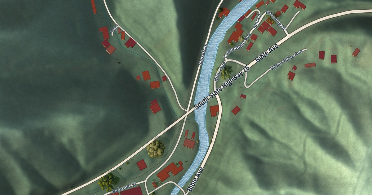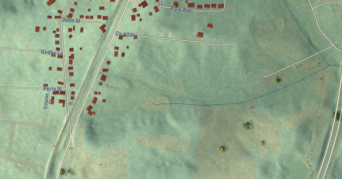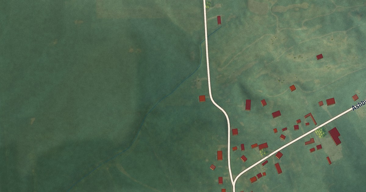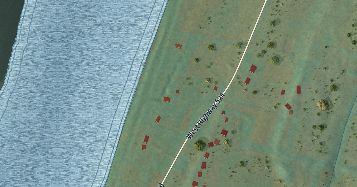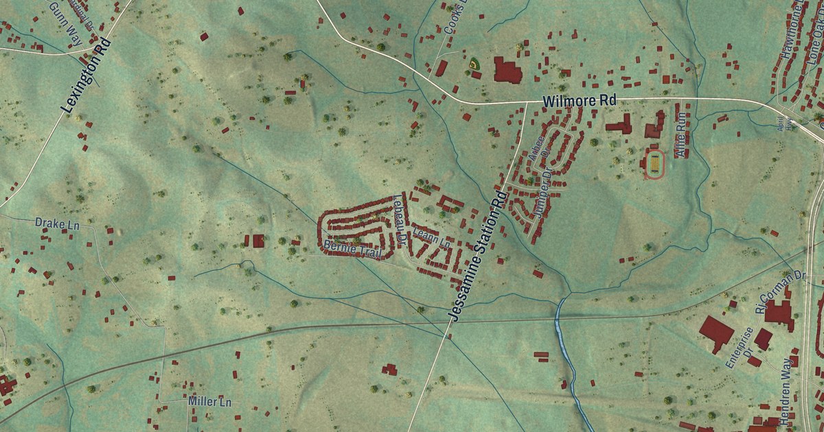
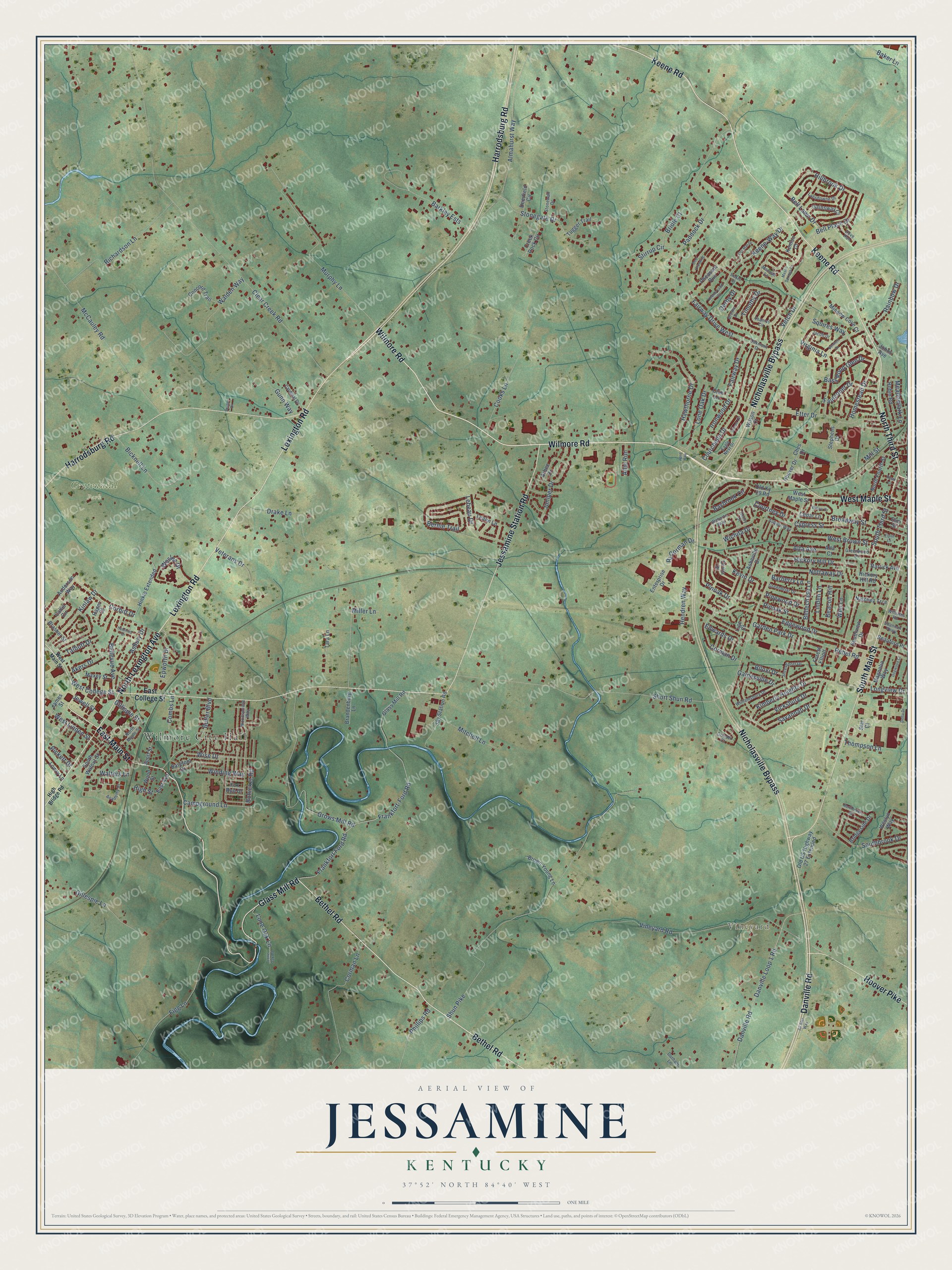
This beautifully detailed map of Jessamine, Kentucky was created in 2026 using aerial imagery combined with modern topographical, census, street and landmark data. It’s a one-of-a-kind view of Jessamine that combines accurate data with a vintage aesthetic. The map shows every building in its true location, many of the roads carry their names, and the shaded topographic relief shows the shape of the land.
Explore an aerial view of Jessamine, Kentucky
On the map you’ll find Wilmore City Hall, Vineyard, and Centennial Park, along with Wilmore Road, Bethel Road, Danville Road, Keene Road, Glass Mill Road, South Main Street, Harrodsburg Road, Nicholasville Bypass, Jessamine Station Road, and more. If you look closely you can even find your house accurately drawn in its correct location. Zoom in on the preview to look for yours.
Did You Know?
From Internet Archive: "Lowry, late Sheriff of Jessamine county, for the sum of five dollars and twenty one cents, for serviced rendered by him as such, but not allowed upon a settlement of his accounts."
Jessamine is a community in Jessamine County.
Take a closer look at the Jessamine map
Names on this map
These names are printed on this map.
Places: Wilmore City Hall, Vineyard and Centennial Park.
Streets and roads: Wilmore Road, Bethel Road, Danville Road, Keene Road, Glass Mill Road, South Main Street, Harrodsburg Road, Nicholasville Bypass, Jessamine Station Road, Lexington Road, North Third Street, East Main Street.
More street names, A to Z
Academy Drive, Akers Drive, Allie Run, Allison Circle, All Star Way, Almahurst Way, Alta Avenue, Alta Court, Anderson Way, April Highway, Arbee Drive, Asbury Drive, Asheville Drive, Auburn Way, Baker Lane, Barberry Lane, Barefoot Drive, Barkley Ests, Bass Pond Glen Drive, Baybrook Circle, Beacon Hill, Beauford Place, Bellechase Lane, Bellevue Avenue, Bell Lawn Drive, Bell Place Drive, Bennett Drive, Bernie Trail, Bicknell Lane, Biloxi Drive, Bohicket Road, Brandenburg Lane, Brasher Street, Bridgeside Drive, Bridle Court, Broadway Street, Brome Drive, Brown Young Lane, Bruner Drive, Butler Boulevard, Callis Circle, Campground Lane, Cardinal Drive, Cedar Lane, Ches Drive, Clear Creek Road, Club Lane, Combs Lane, Concord Trail, Cooks Lane, Corbitt Drive, Corman Drive, Corman Lane, Courchelle Drive, Courtney Drive, Creek Rock Circle, Cypress Street, Danville Loop 1 Road, Deer Crossing, Deerfield Circle, Del-Mar Drive, Delta Drive, Derby Drive, Dogwood Court, Dove Run, Drake Lane, Durham Lane, Eagle Nest Drive, East Avenue, East College Street, Edgewood Drive, Edwards Drive, Elm Street, Enterprise Drive, Epworth Drive, Etter Drive, Fairway Drive, Fairway Drive West, Faulconer Drive, Figg Lane, Flynn Lane, Forest Elliott, Fox Run Drive, Frankfort-Ford Road, Frankfort Ford Road, Gainesville Drive, Gainsway Court, Garden Park Drive, Gillespie Lane, Gillispie Street, Greenbriar Drive, Greenwood Drive, Grinder Court, Grows Mill Road, Gunn Way, Hager Court, Hawthorne Drive, Hendren Way, Henry Court, Hickory Hill Drive, Hickory Hill Road, High Bridge Road, High Street, Hillbrook Drive, Hinkle Extended, Homestead Drive, Hoover Drive, Hoover Pike, Hutchins Drive, Ironwood Drive, Jacob Drive, James Street, Jay Station Road, Jewell Street, Johns Avenue, Juniper Drive, Keene-Land Court, Keene-Way Drive, Kenton Court, Kevin Drive, Kimberly Heights Drive, Kinlaw Drive, Lansdowne Drive, Leann Lane, Lebeau Drive, Lige Court, Linden Lane, Lone Oak Drive, Lone Oak Lane, Lone Oak Road, Longview Drive, Lowry Lane, Magnolia Way, Manoah Lane, Mason Springs Drive, Maxey Street, McCauley Road, Meadowlark Lane, Miller Lane, Mill Street, Minnow Cove Court, Mitchell Lane, Murphy Lane, Natchez Trce, Northbrook Road, North Fourth Street, North Lexington Avenue, North Maple Street, Nottaway Drive, Oakmont Drive, Old Ky 29 Road, Old US Highway 27 Extended, Olivia Drive, Paddock Drive, Pheasant Run, Phillips Road, Pickett Drive, Pinewood Drive, Pinoak Drive, Pinoak Street, Rainbow Drive, Rarrick Avenue, Rebel Road, Restk Court, Richardson Lane, Rj Corman Drive, Robin Road, Savannah Drive, Scott Street, Shannon Parkway, Short Shun Road, Shreveport Drive, Shun Pike, Southbrook Drive, South Third Street, Southview Drive, South Walnut Street, Squires Way, Stakes Court, Star Court, Stephens Drive, Stirrup Circle, Stonegate Drive, Stonewall Drive, Talbott Drive, Tara Lane, Thames Circle, Thompson Lane, Timothy Drive, Tugger Trail, Vetch Drive, Veterans Drive, Vicksburg Drive, Vineyard Road, Virginia Lane, Wabarto Way, Walden Way, Walters Lane, Weil Lane, Wesley Drive, Weslyn Way, West Brown Street, West College Street, West Linden Street, West Main Street, West Maple Street, Wichita Drive, Williamsburg Drive, Williams Road, Willow Drive, Wilson Court, Winding Way, Wise Drive, Woodspointe Way, Wood Street.
See it on a wall
The Jessamine map as a framed print. Swipe for more.


This beautifully detailed map of Jessamine makes an attractive addition to your office, library, or den, and it can even be used to teach children the geography and history of the area. It also makes a great gift for anyone who grew up in Jessamine or moved away. When you’re done exploring, click here to get your copy of the Jessamine map.