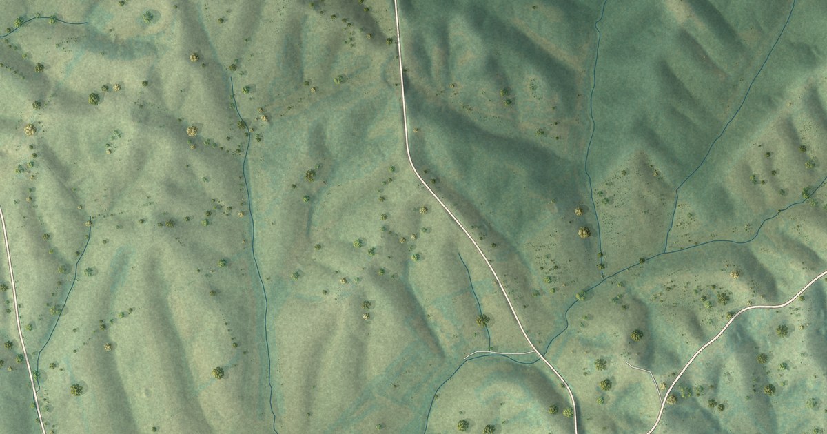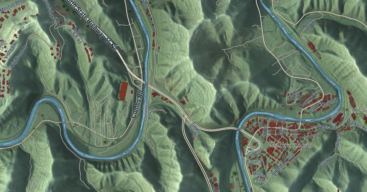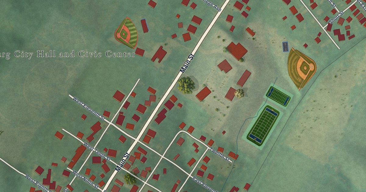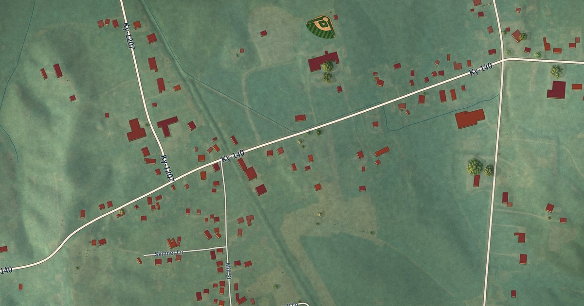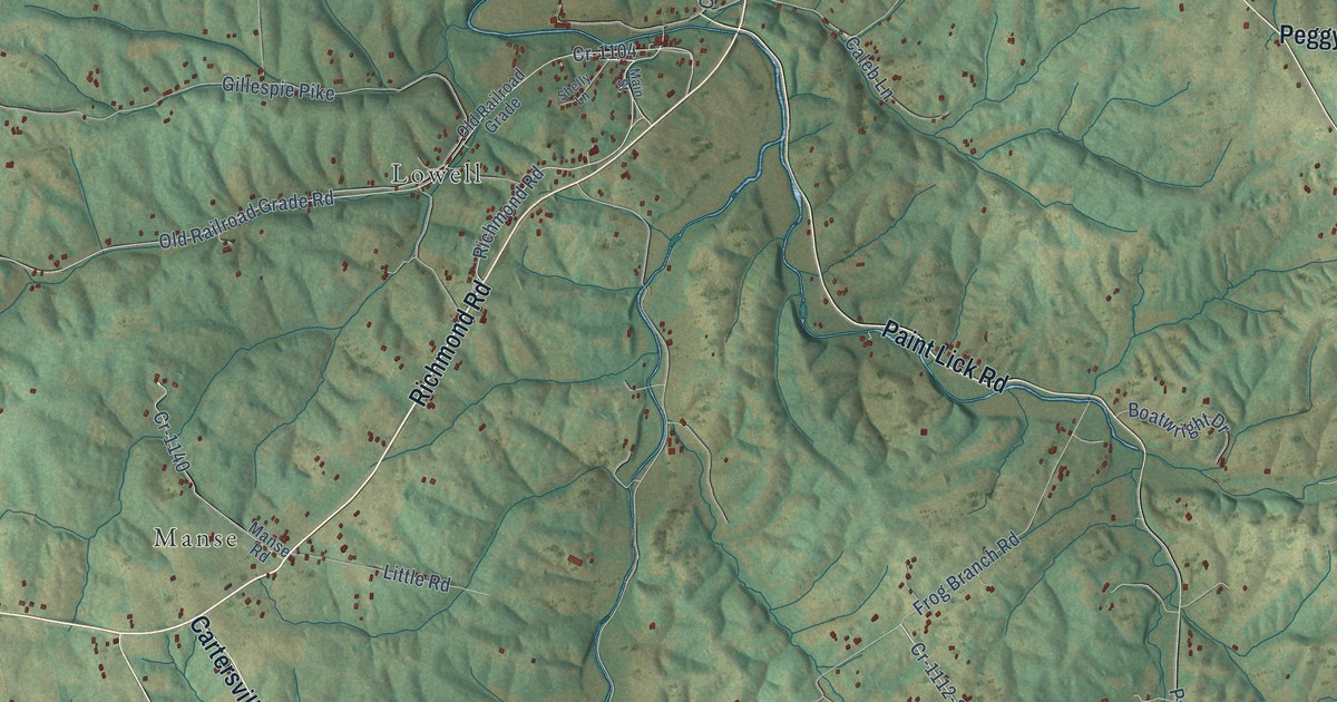
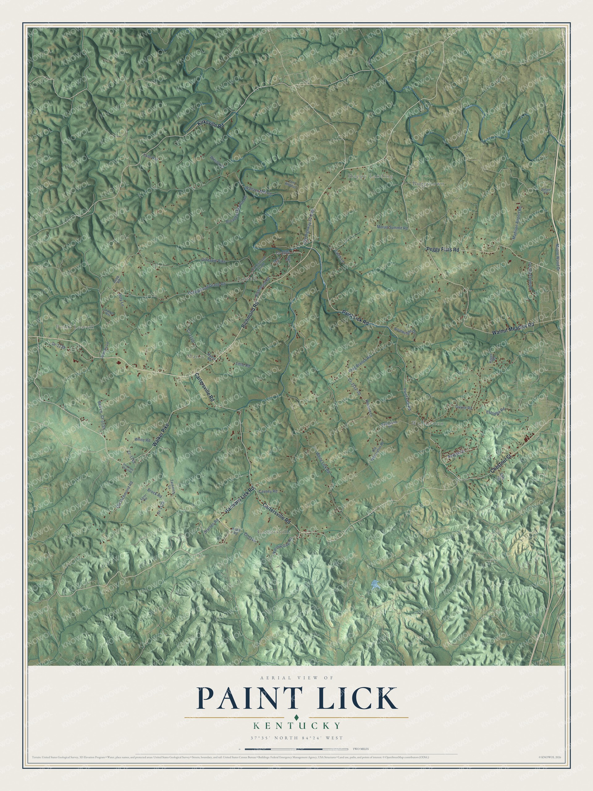
This beautifully detailed map of Paint Lick, Kentucky was created in 2026 using aerial imagery combined with modern topographical, census, street and landmark data. It’s a one-of-a-kind view of Paint Lick that combines accurate data with a vintage aesthetic. The map shows every building in its true location, many of the roads carry their names, and the shaded topographic relief shows the shape of the land.
Explore an aerial view of Paint Lick, Kentucky
On the map you’ll find Point Leavell, Happy Landing, Wallaceton, Cartersville, Lowell, Manse, and Buggytown, along with Richmond Road, Harmons Lick Road, Walnut Meadow Road, Cartersville Road, Paint Lick Road, and more. If you look closely you can even find your house accurately drawn in its correct location. Zoom in on the preview to look for yours.
Did You Know?
From Internet Archive: "William Mitchell first settled at the station of James Davies, at Walnut Flat, Lincoln County, but soon after commenced a settlement himself at what was afterward called Paint Lick, in what is now Garrard County."
Paint Lick is a community in Garrard County.
Take a closer look at the Paint Lick map
Names on this map
These names are printed on this map.
Places: Point Leavell, Happy Landing, Wallaceton, Cartersville, Lowell, Manse and Buggytown.
Streets and roads: Richmond Road, Harmons Lick Road, Walnut Meadow Road, Cartersville Road, Paint Lick Road, Peggy Flats Road, Walker Pike, Chestnut Street, Kirksville Road, Cr-1112-20, Apache Drive, White Lick Road.
More street names, A to Z
Ballard Road, Bell Lane, Boatwright Drive, Broaddus Branch Road, Brock Road, Caleb Lane, Causey Road, Country Estates Drive, Cr-1104, Cr-1128, Cr-1137, Cr-1140, Cr-1144, Cr-1145, Cr-1239, Dale Lane, Doty Lane, Eads Way, Egner Road, Estridge Road, Frog Branch Road, Gillespie Pike, Good Hope Church Road, Guynn Road, Halcomb Lane, Hensley Lane, Lamb Road, Little Road, Madison Airport Road, Main Street, Manse Road, Moore Wood Drive, Moran Summit Road, Narrow Gap Road, Old Highway 52 East, Old Railroad Grade, Old Railroad Grade Road, Old Richmond Road, Old Wallaceton Road, Profit Road, Ragen Road, Shelly Lane, Starnes Road, Tankersly Lane, Thacker Way, Tom Rhodus, Wallace Mill Road, Wallacetown Road, White Road, Wilson Lane.
See it on a wall
The Paint Lick map as a framed print. Swipe for more.


This beautifully detailed map of Paint Lick makes an attractive addition to your office, library, or den, and it can even be used to teach children the geography and history of the area. It also makes a great gift for someone who left Paint Lick and still calls it home. When you’re done exploring, click here to get your copy of the Paint Lick map.