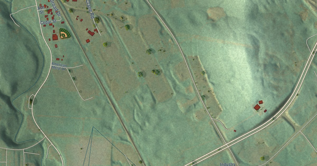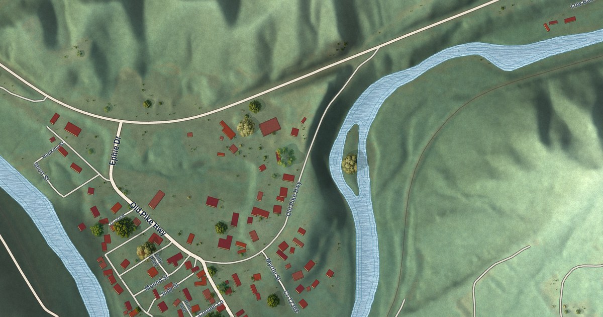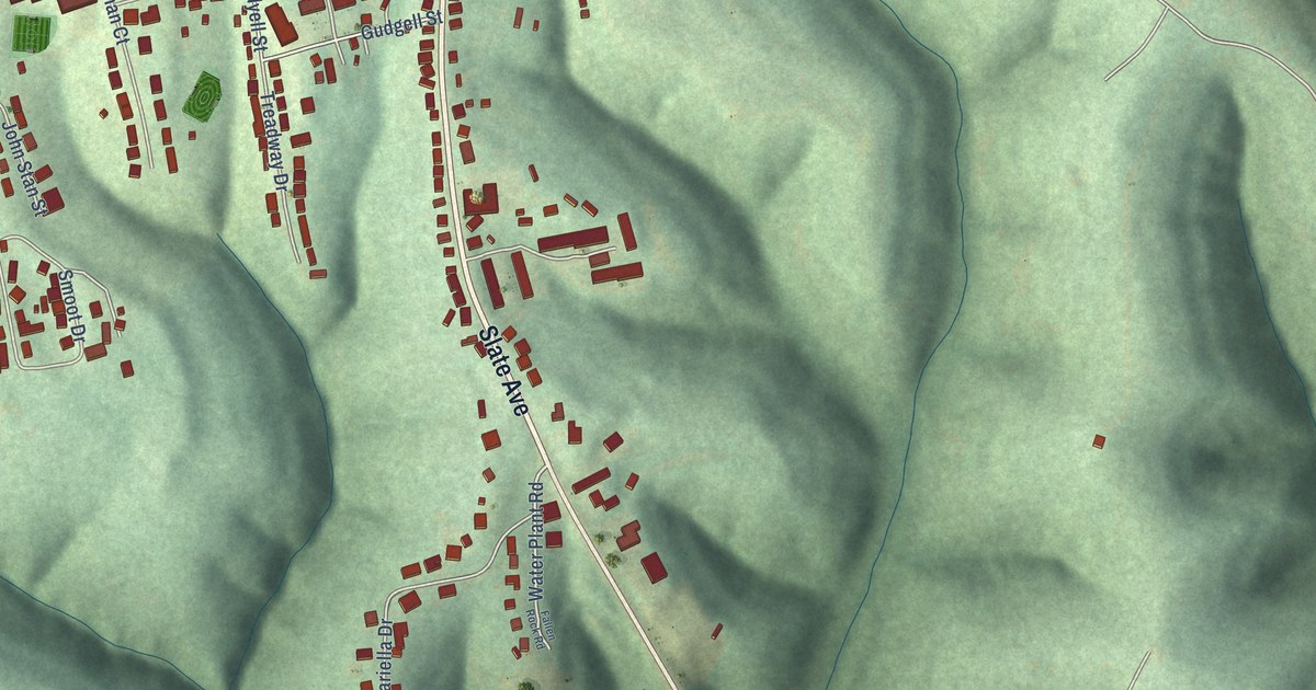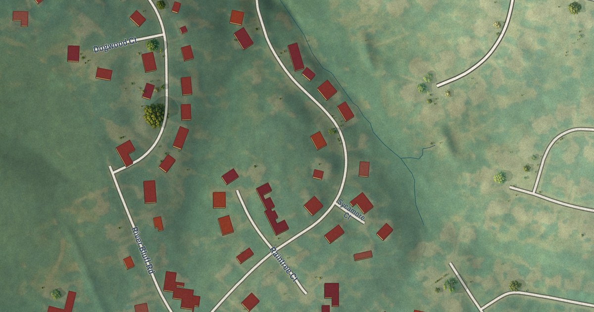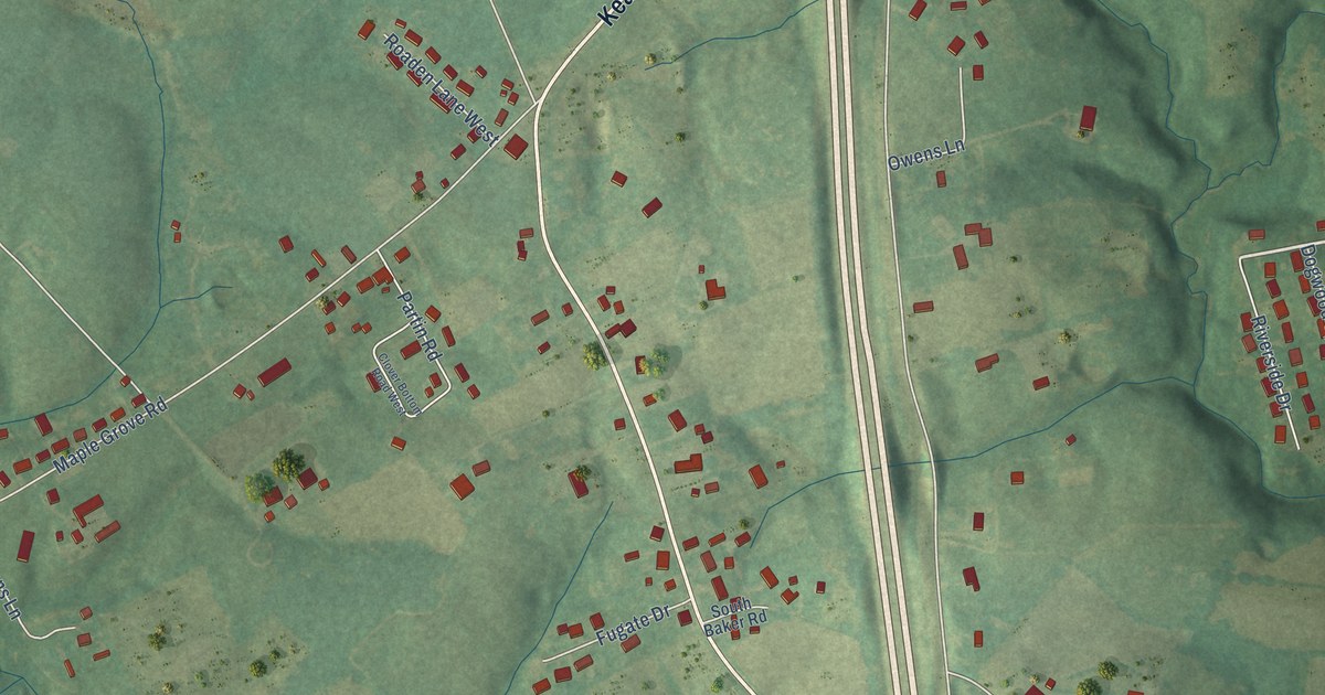
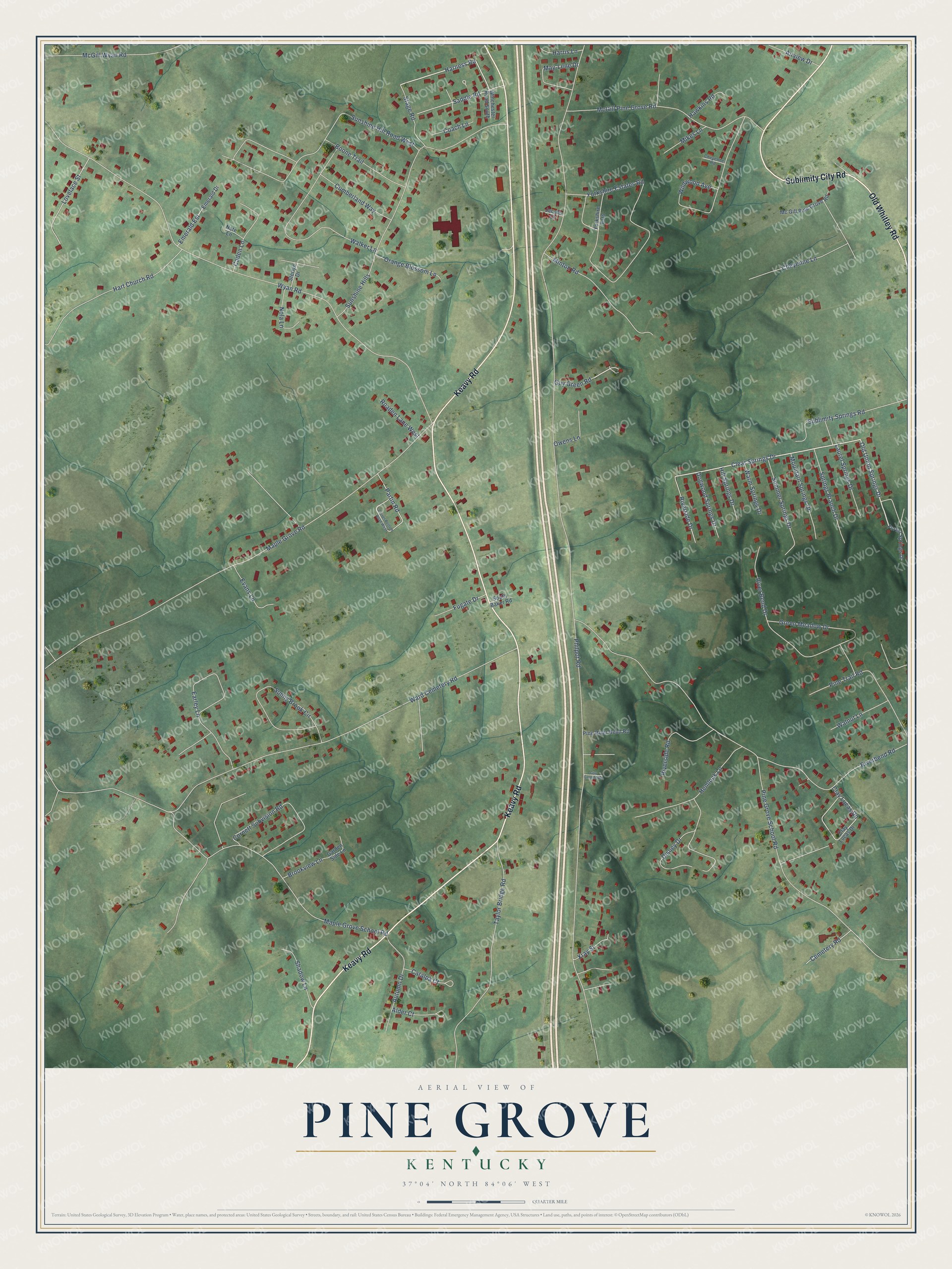
This beautifully detailed map of Pine Grove, Kentucky was created in 2026 using aerial imagery combined with modern topographical, census, street and landmark data. It’s a one-of-a-kind view of Pine Grove that combines accurate data with a vintage aesthetic. The map shows every building in its true location, many of the roads carry their names, and the shaded topographic relief shows the shape of the land.
Explore an aerial view of Pine Grove, Kentucky
On the map you’ll find Keavy Road, Old Whitley Road, Sublimity City Road, Clear Springs Drive, Old Union Springs Drive, Harness Road, Philpot Road, Wyan Road, Pine Grove School Road, Maple Grove Road, Maple Grove School Road, Ward Cemetery Road, and more. If you look closely you can even find your house accurately drawn in its correct location. Zoom in on the preview to look for yours.
Did You Know?
From Internet Archive: "In 1787 he came to that part of Fayette County that is now included in Clark County, and settled twelve miles east of Rex, near the present Village of Pine Grove."
Pine Grove is a community in Laurel County.
Take a closer look at the Pine Grove map
Names on this map
These names are printed on this map.
Streets and roads: Keavy Road, Old Whitley Road, Sublimity City Road, Clear Springs Drive, Old Union Springs Drive, Harness Road, Philpot Road, Wyan Road, Pine Grove School Road, Maple Grove Road, Maple Grove School Road, Ward Cemetery Road.
More street names, A to Z
Airview Drive, Alder Court, Autumn Drive, Boone Trail, Brookview Lane, Caden Lane, Catalpa Court, Cemetery Road, Cheyenne Lane, Cheyenne Road, Clay Lucas Drive, Clay Lucas Road, Clover Bottom Road West, Coach Lane, Cornett Subvision Road, Cumberland Way, Disney Drive, Dogwood Springs Drive, Earley Lane, Emerald Drive, Emerald Est, Evans Lane, Forest Springs Drive, Fugate Drive, Garden Side Lane, Green Meadow Drive, Guy Greene Road, Guy Green Road, Harris Lane, Hart Church Road, Hawkins Road, Hemlock Lane, Hill Springs Drive, Jacobs Court, Laurel Springs Drive, Lovelace Street, May-Lene Drive, McGill Pine Grove Road, Mc Gill Pine Grove Road, McGill Wyan Road, Mikes Lane, Minton Road, Mountain Springs Drive, Nate Lane, Nola Lane, Orange Blossom Lane, Owens Lane, Partin Road, Pine River Bend Road, Pine Trail Road, River Bend Drive, Riverbend Road, Riverside Drive, Riverside Road, Roaden Lane West, Saddle Road, Shadow Lane, South Baker Road, Springs Branch Drive, Stage Road, Sterlyn Drive, Sublimity Springs Road, Summer Springs Drive, Sunny Brook Circle, Sunshine Hill Road West, Sunshine Hills, Taylor Bridge Road, Walker Lane, Walnut Lane, Warm Springs Drive, Wildwood Avenue, Winchester Road South, Xray Street, Yorkshire Estates Road, Yorkshire Ests.
See it on a wall
The Pine Grove map as a framed print. Swipe for more.


This beautifully detailed map of Pine Grove makes an attractive addition to your office, library, or den, and it can even be used to teach children the geography and history of the area. It also makes a great gift for anyone with Pine Grove roots. When you’re done exploring, click here to get your copy of the Pine Grove map.