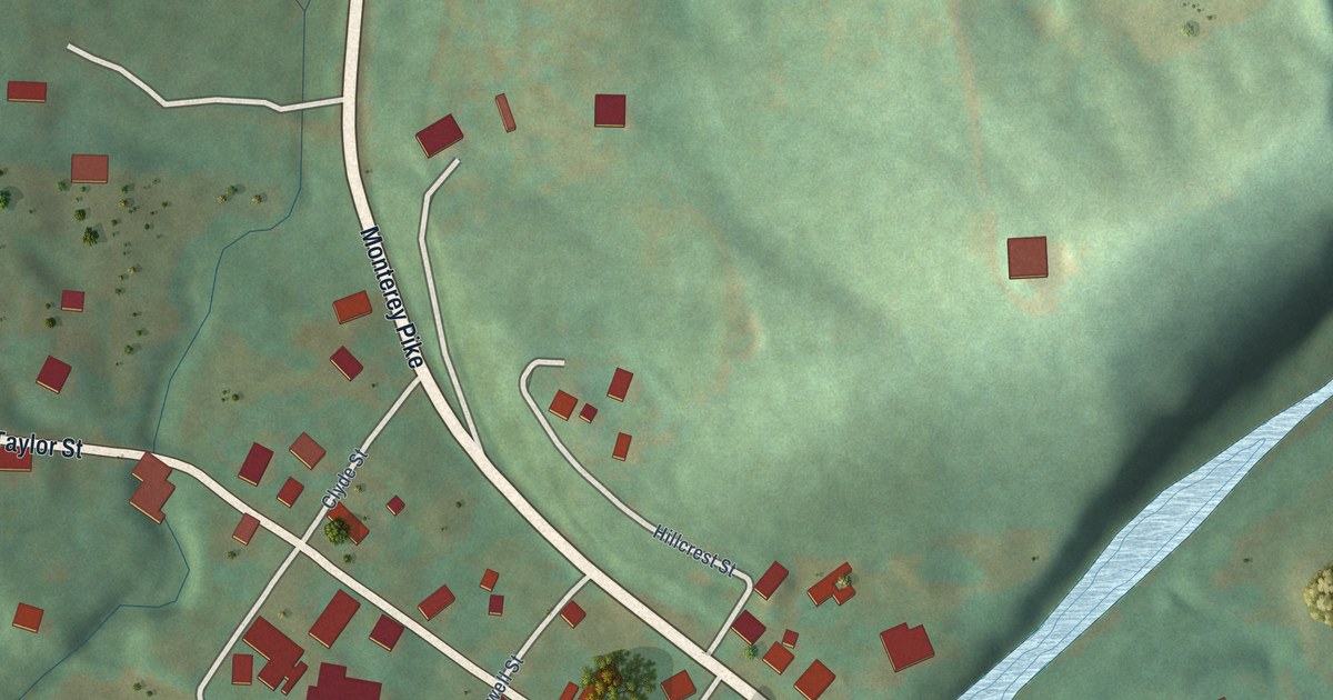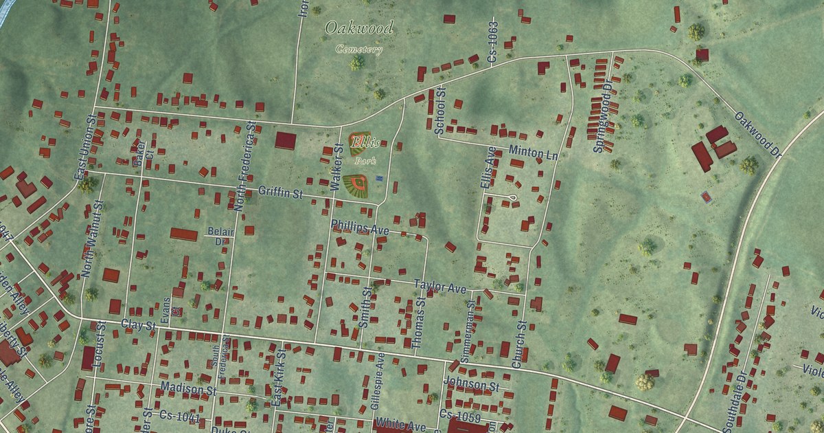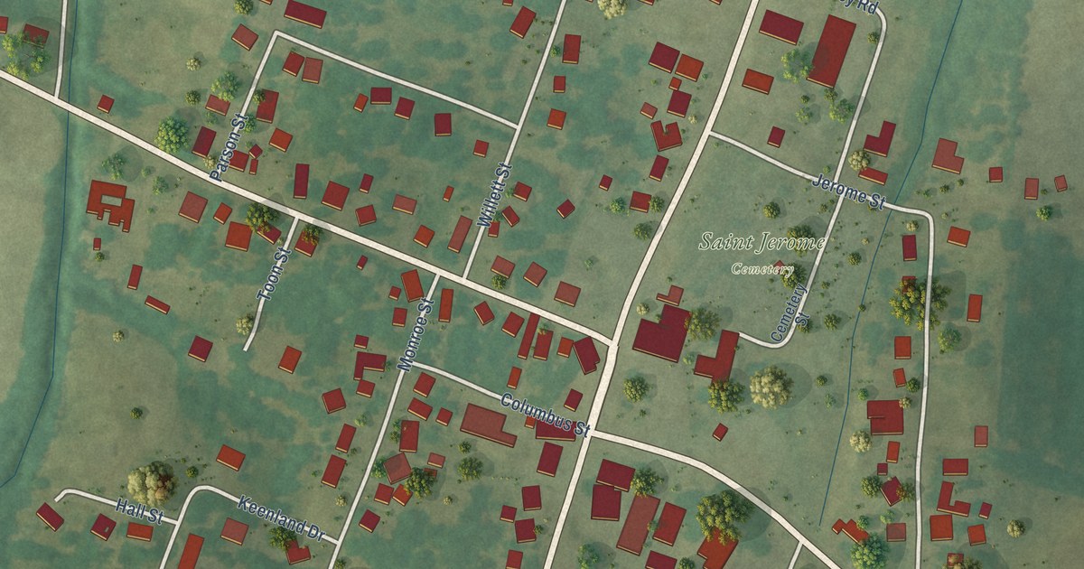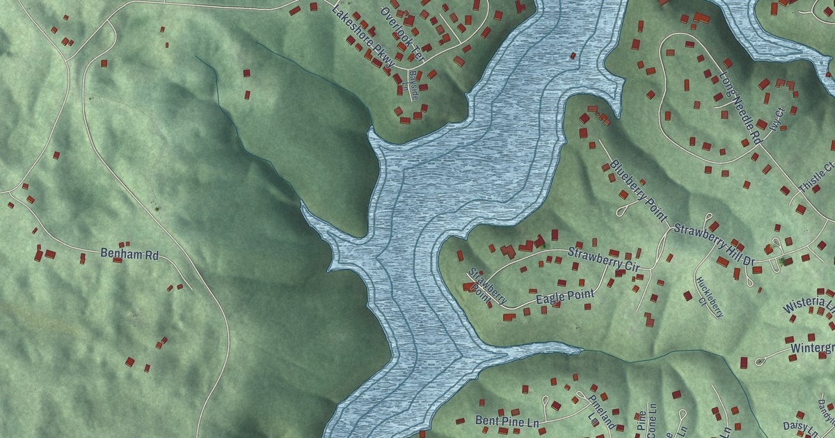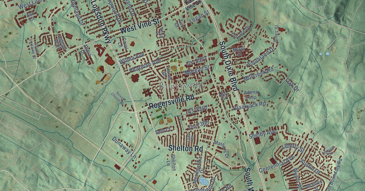
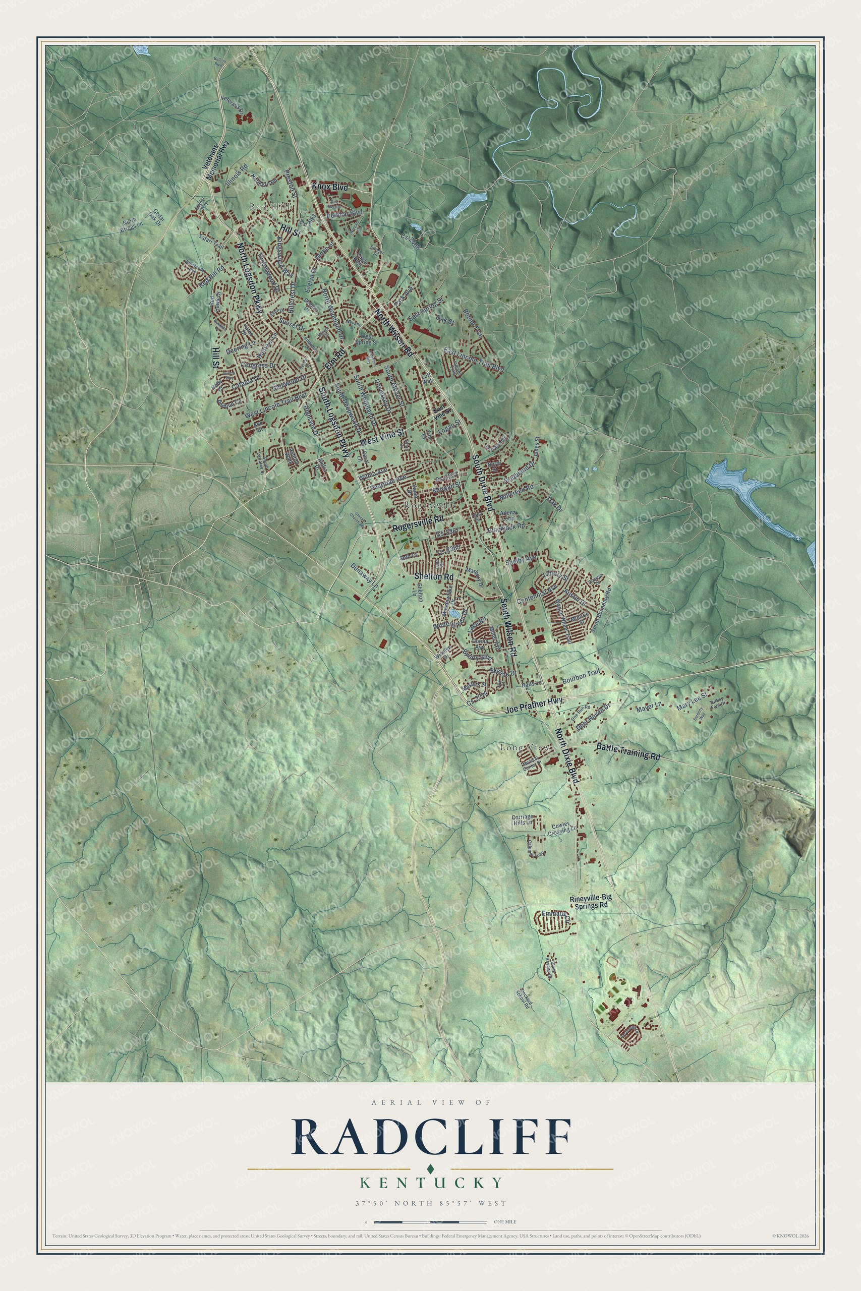
This beautifully detailed map of Radcliff, Kentucky was created in 2026 using aerial imagery combined with modern topographical, census, street and landmark data. It’s a one-of-a-kind view of Radcliff that combines accurate data with a vintage aesthetic. The map shows every building in its true location, many of the roads carry their names, and the shaded topographic relief shows the shape of the land.
Explore an aerial view of Radcliff, Kentucky
On the map you’ll find Red Hill, Long View, and Rogersville, along with North Dixie Boulevard, North Logsdon Parkway, South Logsdon Parkway, Rogersville Road, North Wilson Road, South Dixie Boulevard, Hill Street, South Wilson Road, Joe Prather Highway, and more. If you look closely you can even find your house accurately drawn in its correct location. Zoom in on the preview to look for yours.
Did you know this piece of Radcliff, Kentucky history?
From the City of Radcliff: "The area known today as the city of Radcliff was once known as the Mill Creek area of Kentucky, shown by the first map of Kentucky published by John Filson in 1784."
Take a closer look at the Radcliff map
Street and place names on the Radcliff, Kentucky map
These names are printed on the map of Radcliff, Kentucky.
Places: Red Hill, Long View and Rogersville.
Streets and roads: North Dixie Boulevard, North Logsdon Parkway, South Logsdon Parkway, Rogersville Road, North Wilson Road, South Dixie Boulevard, Hill Street, South Wilson Road, Joe Prather Highway, Elm Road, West Vine Street, Shelton Road.
More street names, A to Z
Adena Loop, Allen Street, Andra Drive, Applewood Lane, Ash Court, Ashton Walk, Audubon Court, Austin Drive, Battle Training Road, Blackjack Road, Black Ravens Court, Boone Trce, Bourbon Trail, Brian Court, Bullion Boulevard, Byerly Boulevard, Calumet Loop, Carol Lane, Carriage Hills Lane, Catalpa Drive, Cedar Oak Drive, Centennial Avenue, Congress Drive, Conroe Drive, Cowley Crossing Lane, Cs-2053, Cs-2214, Cs-2337, Cs-2365, Cs-2367, Cs-2408, Deckard School Road, Deer Haven Drive, Deering Lane, Delmar Drive, Doe Run Road, Donna Avenue, Dunaway Lane, Eagle Pass, East Lincoln Trail Boulevard, East Spring Street, East Vine Street, Ellen Drive, Emmaus Circle, Evelyn Drive, Freedoms Way, Glenwood Drive, Globe Street, Hawkins Drive, Highland Drive, Hillcrest Drive, Holly Court, Hunters Lane, Illinois Road, Indiana Trail, Janet Drive, Jones Street, Joy Court, Kingswood Way, Knox Boulevard, Lake Road, Liberty Street, Lilac Court, Logan Street, Lott Way, Marbury Drive, Mary Lee Street, Masters Street, Mayer Lane, Meadowlake Drive, Medical Center Drive, Millcreek Road, Miller Avenue, Monroe Street, Morgan Street, Nalls Lane, Navaho Drive, North Briggs Lane, Northern Road, North Street, North Woodland Drive, Oak Drive, Oak Ridge Drive, Oak Street, Park Avenue, Pearman Avenue, Preston Street, Redbud Circle, Red Hawk Drive, Red Hill Road, Redmar Boulevard, Rineyville-Big Springs Road, Safari Trail, Saturn Circle, Scenic Drive, Serenity Way, Seth Court, Shelby Avenue, Shelton Lane, Skyline Drive, Snyder Way, South Atcher Street, South Boundary Road, South Deepwood Drive, Southland Drive, South Lorraine Street, South Woodland Drive, Stinson Place, Stovall Church Road, Sunset Drive, Terrace Drive, Timberwood Drive, Tim Court, Turkey Foot Court, University Drive, Veterans Drive, Veterans Memorial Highway, Wagon Wheel Trail, West Lincoln Trail Boulevard, West Spring Street, Whisbrook Avenue, Willow Way, Wilma Avenue, Wingard Drive, Wintergreen Drive, Wiselyn Drive, Yates Drive.
See the Radcliff, Kentucky map on a wall
The Radcliff map as an 18 x 24 inch print in a black frame.

This beautifully detailed map of Radcliff makes an attractive addition to your office, library, or den, and it can even be used to teach children the geography and history of the area. It also makes a great gift for anyone who grew up in Radcliff or moved away. When you’re done exploring, click here to get your copy of the Radcliff map.