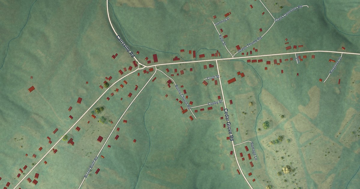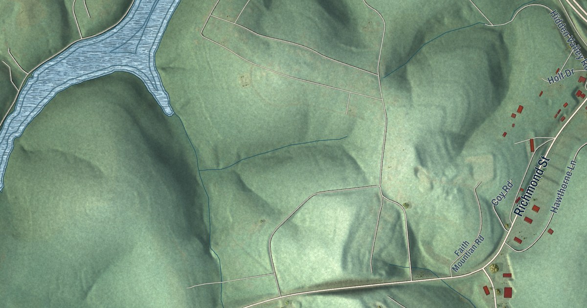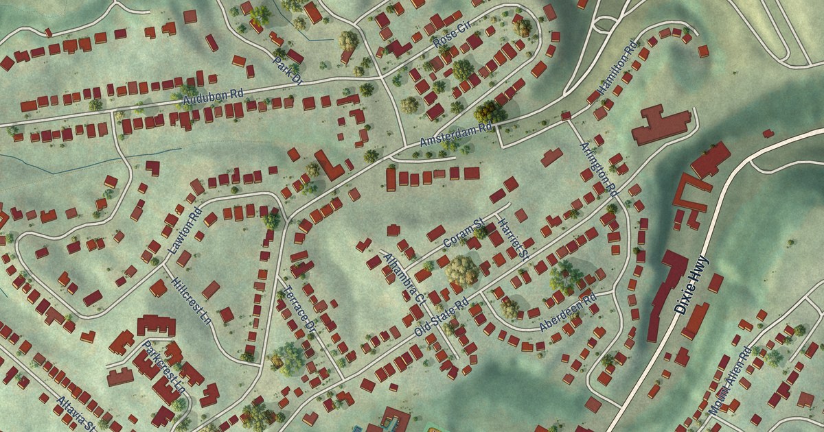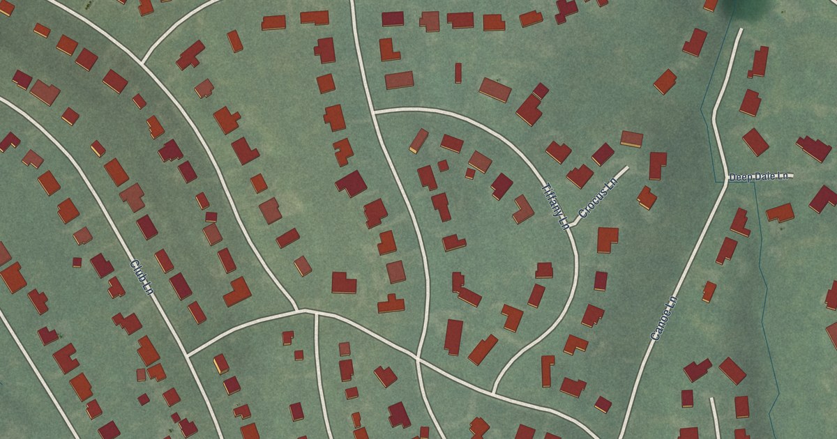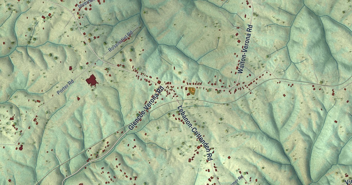
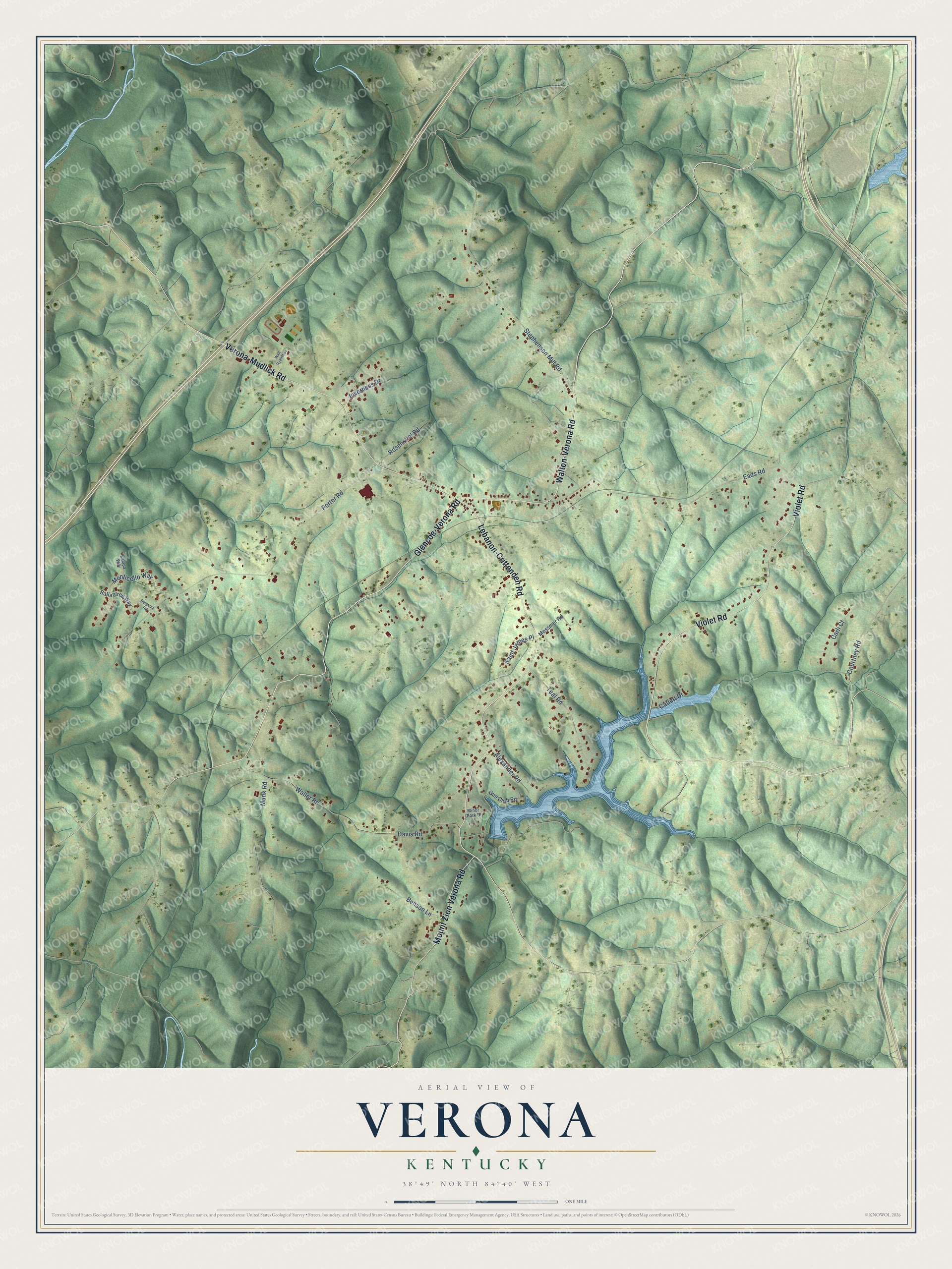
This beautifully detailed map of Verona, Kentucky was created in 2026 using aerial imagery combined with modern topographical, census, street and landmark data. It's a modern aerial view of Verona in Boone County, Kentucky, that combines modern data with a vintage aesthetic. The roads feature printed names, and if you look closely you can find your exact house accurately shown in its correct location.
Explore an aerial view of Verona, Kentucky
On this map you'll find Walton-Verona Road, Lebanon-Crittenden Road, Glencoe-Verona Road, Violet Road, Verona-Mudlick Road, Mount Zion Verona Road, Eads Road, Courtney Road, Porter Road, Stephenson Mill Road, Davis Road, Waller Road, and more. Each red shape is a building, so zoom in on the preview and look for yours.
Verona has a story worth telling. Verona sits on a high ridge in the Eden Shale hills of southern Boone County. It grew up in the mid-1800s and became a post office in 1850, and the New Bethel Baptist Church, formed in 1840, was one of its first institutions. Irish immigrants who came in the mid-1800s built St. Patrick's Catholic Church in Verona. That's from the Boone County Public Library.
Verona is a community in Boone County. The Census Bureau counted 1,545 people here in 2020.
Take a closer look at the Verona map
Names on this map
These names are printed on this map.
Streets and roads: Walton-Verona Road, Lebanon-Crittenden Road, Glencoe-Verona Road, Violet Road, Verona-Mudlick Road, Mount Zion Verona Road, Eads Road, Courtney Road, Porter Road, Stephenson Mill Road, Davis Road, Waller Road.
More street names, A to Z
Alexander Road, Ballantree Way, Benson Lane, Bergamo Road, Carli Court, Catlett Drive, Gun Club Road, Inverness Drive, Messmer Road, Minor Clark Drive, Monticello Way, Munk Road, Rosenstiel Road, Saint James Place, Teal Road, Walt Ryan Way, Xalapa Way.
See it on a wall
The Verona map as a framed print. Swipe for more.


Created by KNOWOL in 2026. The buildings are small red shapes, the roads carry their printed names, and shaded relief shows the shape of the land. The title panel reads "AERIAL VIEW OF VERONA, KENTUCKY" with 38°49' NORTH 84°40' WEST.
It looks right in a kitchen, an office or a den, and it's a gift for anyone who grew up in Verona or moved away. Open the preview and find your street. See sizes and frames for the Verona map.