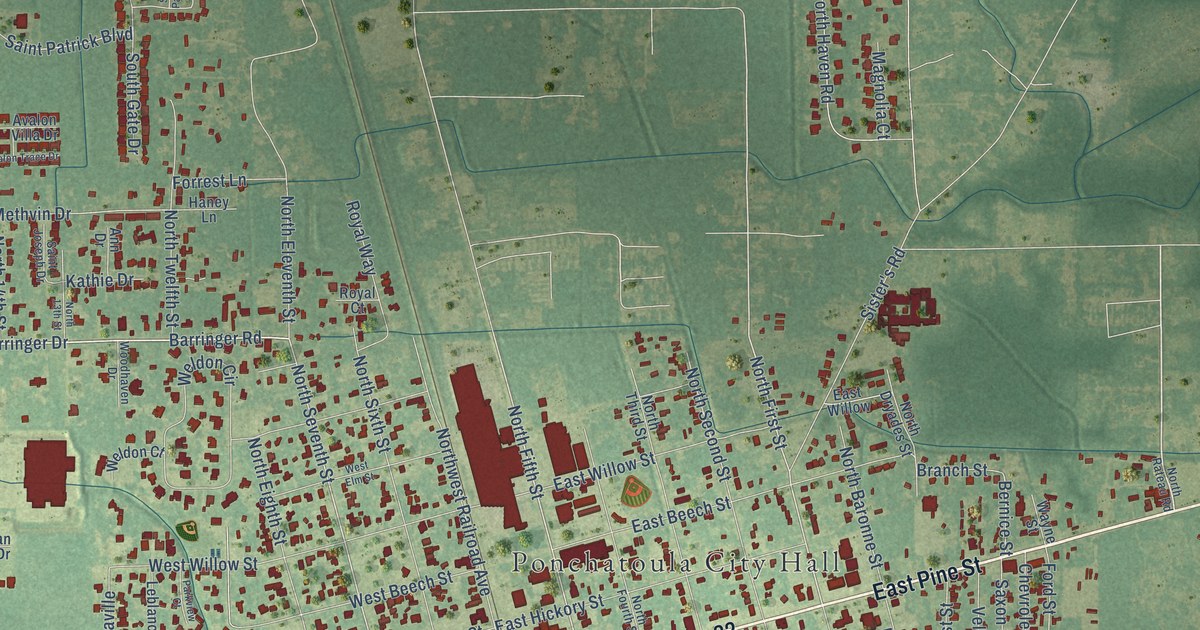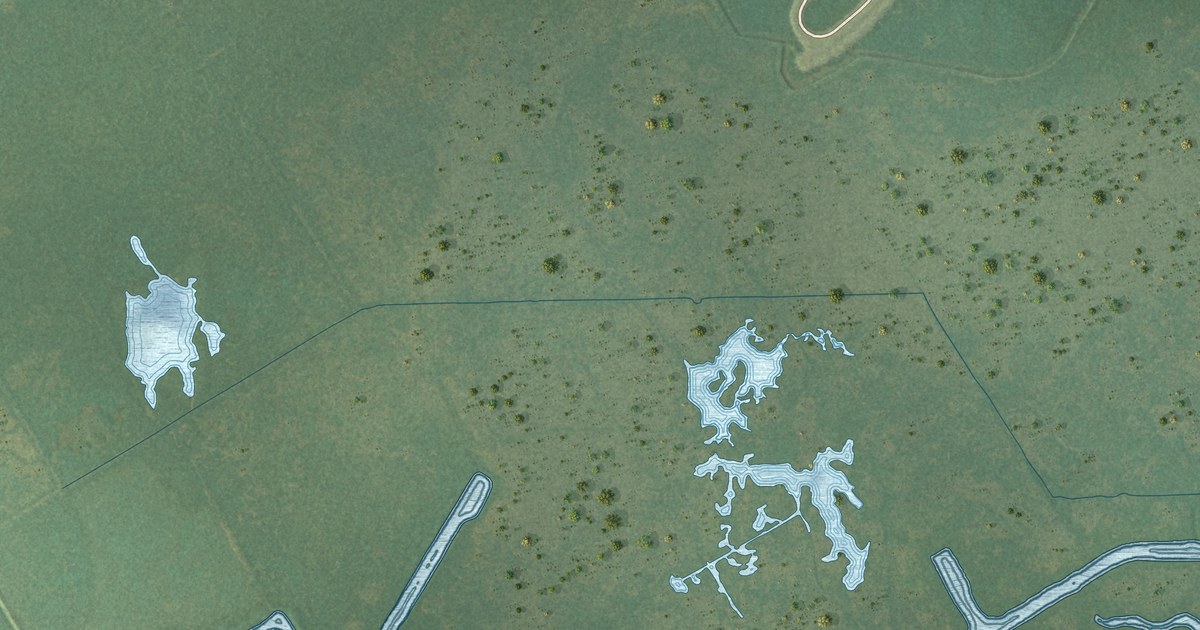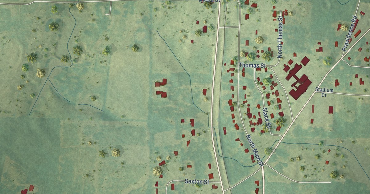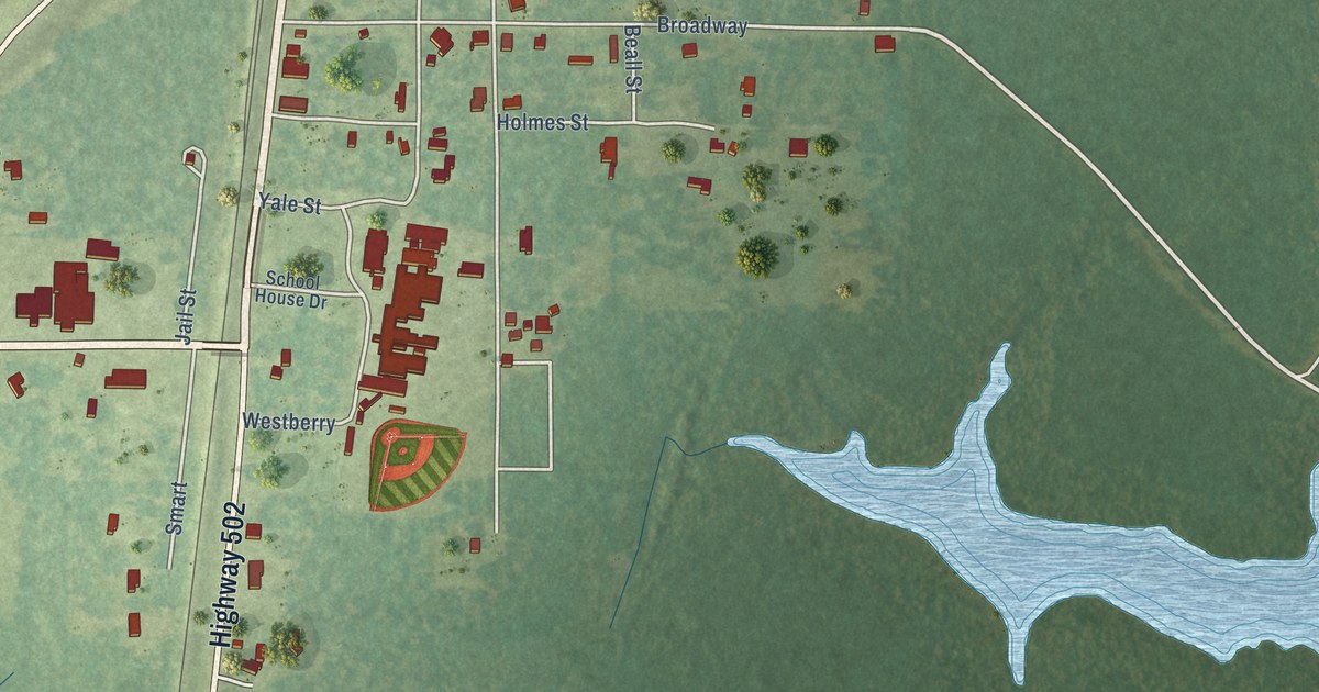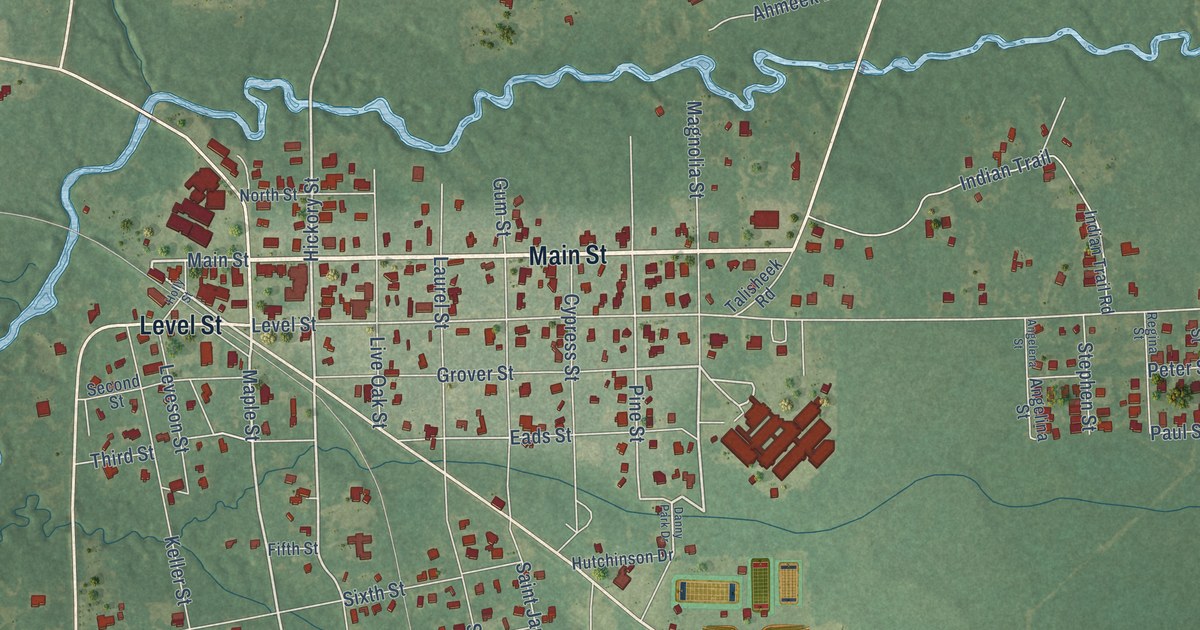
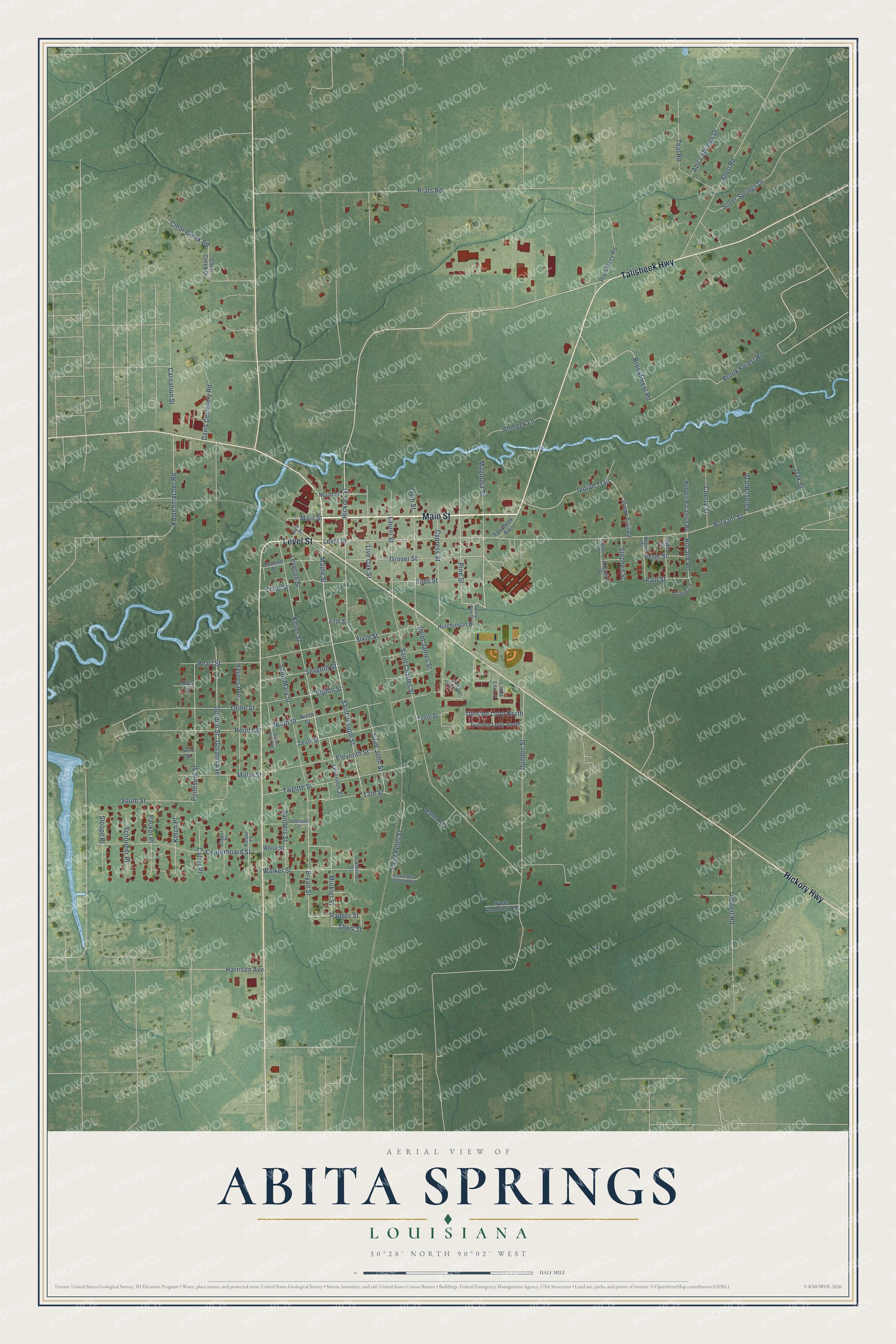
This beautifully detailed map of Abita Springs, Louisiana was created in 2026 using aerial imagery combined with modern topographical, census, street and landmark data. It's a modern aerial view of Abita Springs in St. Tammany Parish, Louisiana, that combines modern data with a vintage aesthetic. The roads feature printed names, and if you look closely you can find your exact house accurately shown in its correct location.
Explore an aerial view of Abita Springs, Louisiana
On this map you'll find Main Street, Talisheek Highway, Hickory Highway, Level Street, Saint Joseph Street, Maple Street, Hickory Street, Saint John Street, Palmer Street, Short Street, Pine Street, Bryan Street, and more. Each red shape is a building, so zoom in on the preview and look for yours.
Abita Springs has a story worth telling. The National Park Service puts it this way: "On June 26, 1887, the first railroad train arrived at Abita Springs, six months later a post office was established."
Abita Springs is a town in St. Tammany Parish. The Census Bureau counted 2,631 people here in 2020.
Take a closer look at the Abita Springs map
Names on this map
These names are printed on this map.
Streets and roads: Main Street, Talisheek Highway, Hickory Highway, Level Street, Saint Joseph Street, Maple Street, Hickory Street, Saint John Street, Palmer Street, Short Street, Pine Street, Bryan Street.
More street names, A to Z
13th Street, Abita Oaks Loop, Abita Springs Drive, Ahmeek Lane, Allen Road, Angelena Street, Angelina Street, Barque Place, Brook Forest Road, Brookforest Road, Burvant Street, Byers Cemetery Road, Carnation Street, Caroline Street, Centerboard Street, Cherry Street, Clear Creek Drive, Clear Creek Road, Clipper Place, Cutter Place, Cypress Street, Danny Park Drive, Davis Cemetery Road, Diane Lane, Dundee Loop North, Dundee Loop South, Dundee Street, Eads Street, Eighth Street, Eleventh Street, Fifth Street, Forest Hill Drive, Gordon Avenue, Gordon Street, Grover Street, Gum Street, Harrison Avenue, Haynes Avenue, Hebert Road, Heintz Street, Hidden Paradise Road, Holly Street, Hutchinson Drive, Indian Trail, Indian Trail Road, John Street, Keller Street, Ketch Place, Kustenmacher Road, Laurel Street, Leemans Tailend Road, Leonard Street, Levenson Jst, Leveson Street, Linda Lou Lane, Live Oak Street, Magnolia Street, Mary Street, Millar Street, Minkler Street, Ninth Street, North Street, Oak Street, Orme Street, Packet Place, Paul Street, Pearl Street, Peter Street, Poitevent Street, Prats Dairy Road, Prats Road, Regina Street, Rosalie Road, Saint Ann Avenue, Saint Charles Street, Saint James Street, Saint Mary Street, Saint Peter Street, Sanders Street, Schooner Place, Second Street, Seventh Street, Silver Springs Drive, Sixth Street, Sloope Place, South Street, Stephen Street, Stire Street, Talisheek Road, Teal Road, Tenth Street, Third Street, Twelfth Street, Walker Street, Walter Avenue, White Street.
Created by KNOWOL in 2026. The buildings are small red shapes, the roads carry their printed names, and shaded relief shows the shape of the land. The title panel reads "AERIAL VIEW OF ABITA SPRINGS LOUISIANA" with 30°28' NORTH 90°02' WEST.
It looks right in a kitchen, an office or a den, and it's a gift for anyone who grew up in Abita Springs or moved away. Open the preview and find your street. See sizes and frames for the Abita Springs map.