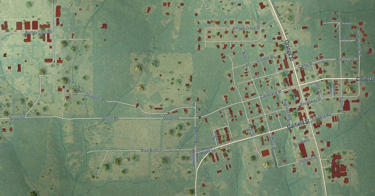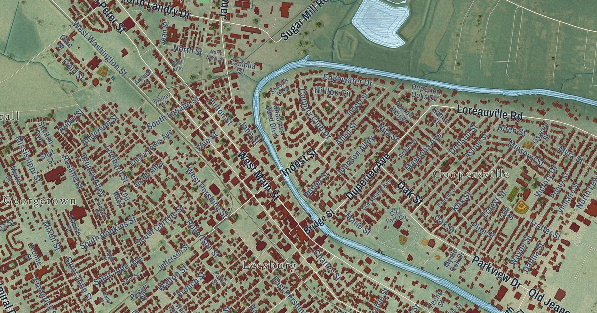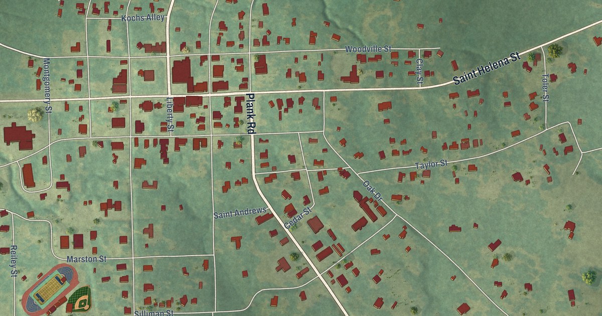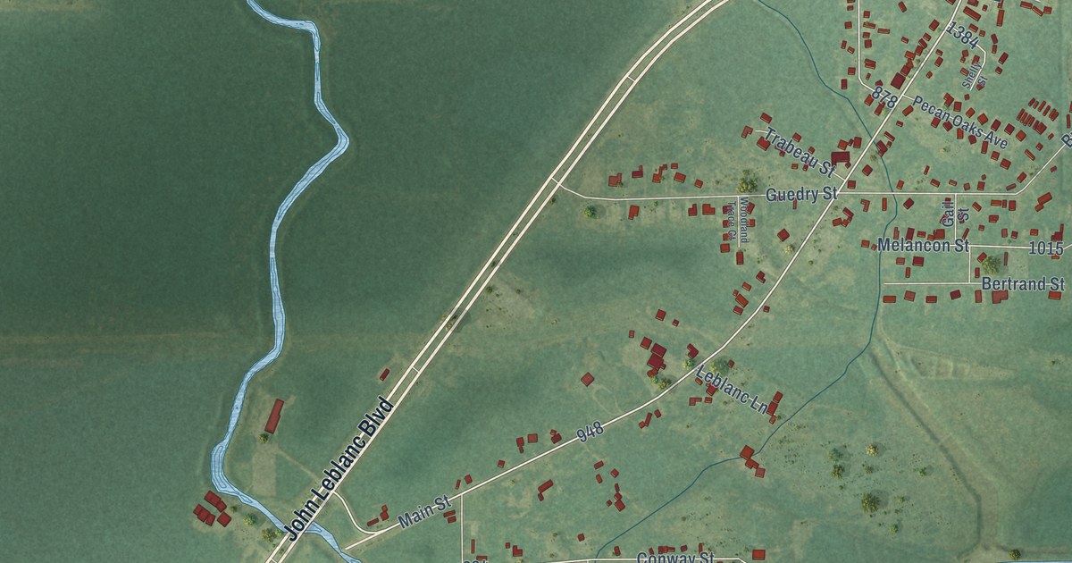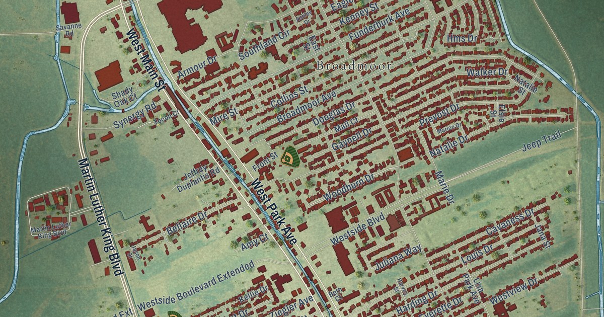
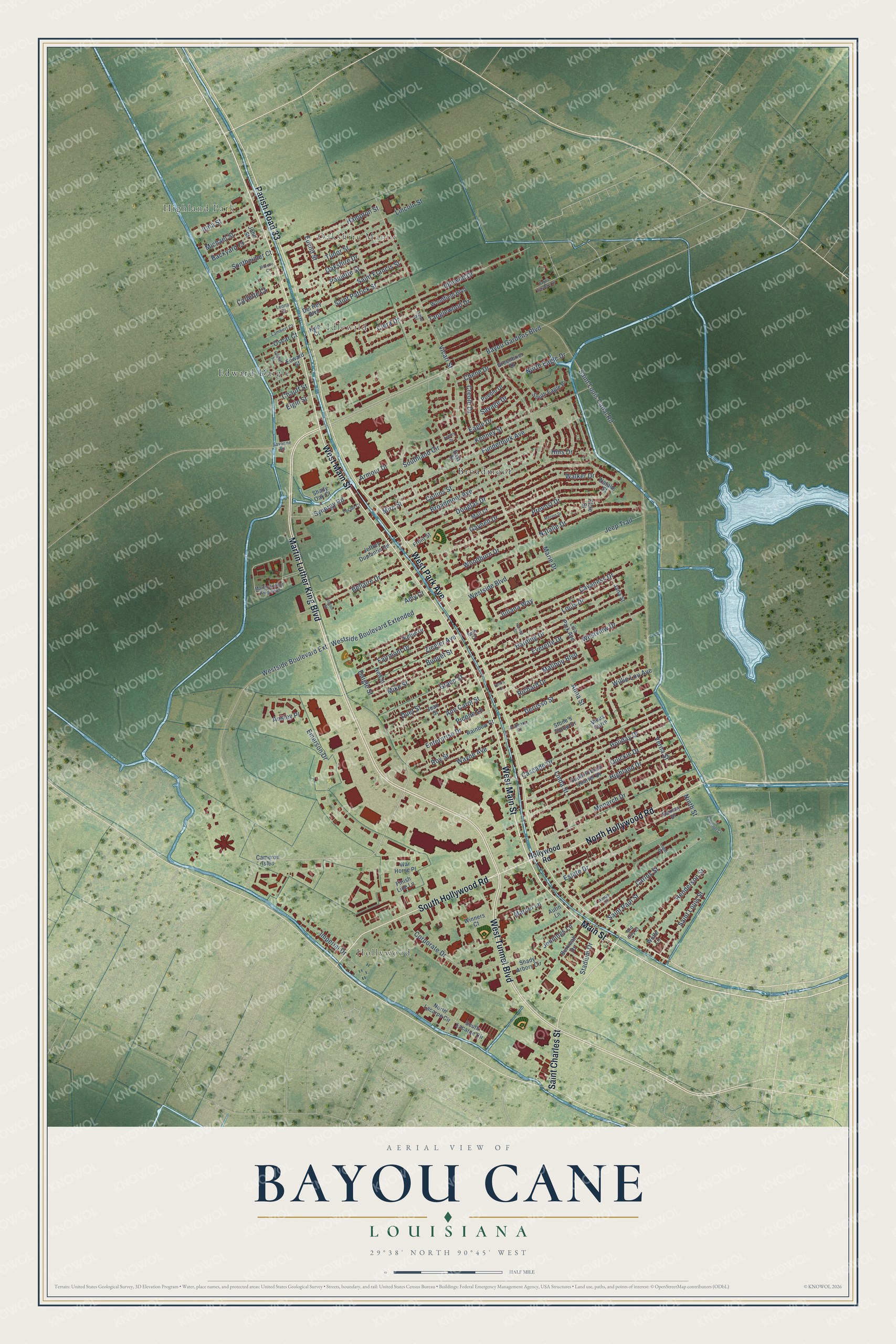
This beautifully detailed map of Bayou Cane, Louisiana was created in 2026 using aerial imagery combined with modern topographical, census, street and landmark data. It's a modern aerial view of Bayou Cane in Terrebonne Parish, Louisiana, that combines modern data with a vintage aesthetic. The roads feature printed names, and if you look closely you can find your exact house accurately shown in its correct location.
Explore an aerial view of Bayou Cane, Louisiana
On this map you'll find Hollywood, Highland Park, Oakshire Manor, Idlewild, Broadmoor, Edward Daigle, West Main Street, Main Street, Martin Luther King Boulevard, South Hollywood Road, West Tunnel Boulevard, West Park Avenue, and more. Each red shape is a building, so zoom in on the preview and look for yours.
Bayou Cane is a community in Terrebonne Parish. The Census Bureau counted 19,770 people here in 2020. The map prints the town name in its title panel, with the coordinates below it.
Take a closer look at the Bayou Cane map
Names on this map
These names are printed on this map.
Places: Hollywood, Highland Park, Oakshire Manor, Idlewild, Broadmoor and Edward Daigle.
Streets and roads: West Main Street, Main Street, Martin Luther King Boulevard, South Hollywood Road, West Tunnel Boulevard, West Park Avenue, Parish Road 33, Saint Charles Street, North Hollywood Road, Bayou Gardens Boulevard, Enterprise Drive, Woodburn Drive.
More street names, A to Z
A-Bears Court, Alma Street, Amos Court, Amy Court, Ann Carol Street, Ansley Place, Armour Drive, Ashley Drive, Autin Lane, Backyard Court, Bayou Gardens Drive, Bellaire Drive, Beth Court, Broadmoor Avenue, Buquet Street, Burkwall Drive, Cabernet Court, Cameron Isles, Carlette Court, Carlos Street, Cascade Drive, Cavaness Drive, Chauff Street, Chene Drive, Ciera Drive, Collins Street, Corporate Drive, Creole Drive, Daigle Street, Del Rey Boulevard, Dene Drive, Derusso Street, Douglas Drive, Duet Street, Eagle Drive, East Street, Edward Street, Elgin Street, Elsie Street, Emerson Drive, Estate Drive, Euclid Street, Everette Drive, Fairmont Drive, Finish Line Lane, Front Street, Funderburk Avenue, Gaynell Drive, Gilbert Street, Grace Street, Greenbrier Drive, Hampton Street, Harding Drive, Harvey Street, Henderson Street, Highland Drive, Hms Drive, Holiday Drive, Hollywood Road, Idlewild Drive, Imperial Drive, Irma Street, Jana Street, Jason Street, Jean Street, Jeep Trail, Jeffrey Duplantis Road, Jennings Lane, John Street, Juliana Way, Kellie Drive, Kenney Street, Kyle Court, Lambert Court, Leona Court, Lincoln Street, Linda Street, Lisa Park Avenue, Logan Drive, Louis Drive, Malibou Boulevard, Mall Court, Marcel Lane, Marie Drive, Marion Drive, Michael Street, Mid City Court, Mike Street, Mire Street, Monarch Drive, Morello Court, Natalie Drive, Natalie Street, Neil Street, Ninth Street, North Eagle Drive, North Lacarpe Circle, Oakshire Drive, Oscar Court, Paulette Street, Picone Lane, Prevost Drive, Pueblo Drive, Quickie Drive, Rainbow Court, Richard Drive, Roy Street, Saint Francis Street, Saint Louis Canal Road, Saint Louis Street, Saint Patrick Street, Saint Paul Street, Sam's Court, Savage Drive, Savanne Road, Saxony Drive, Shady Arbors Circle, Shady Oak Court, Sontheimer Court, South Eagle Place, South French Quarter Drive, South Lacarpe Circle, Southland Circle, Stadium Drive, Stone's Throw Drive, Synergy Road, Tanglewood Drive, Tecon Court, Tudor Street, Verna Street, Vicari Street, Vieux Carre, Walker Drive, War Horse Place, Wayne Avenue, Westside Boulevard, Westside Boulevard Extended, Westside Boulevard Extension, Westview Drive, Willie Lou Avenue, Winners Court, Wolfe Lane, Woodfield Boulevard, Ziegler Avenue.
Created by KNOWOL in 2026. The buildings are small red shapes, the roads carry their printed names, and shaded relief shows the shape of the land. The title panel reads "AERIAL VIEW OF BAYOU CANE LOUISIANA" with 29°38' NORTH 90°45' WEST.
It suits a den, a classroom or a front hall, and it makes a gift for anyone with Bayou Cane roots. Open the preview and find the block you know. See sizes and frames for the Bayou Cane map.