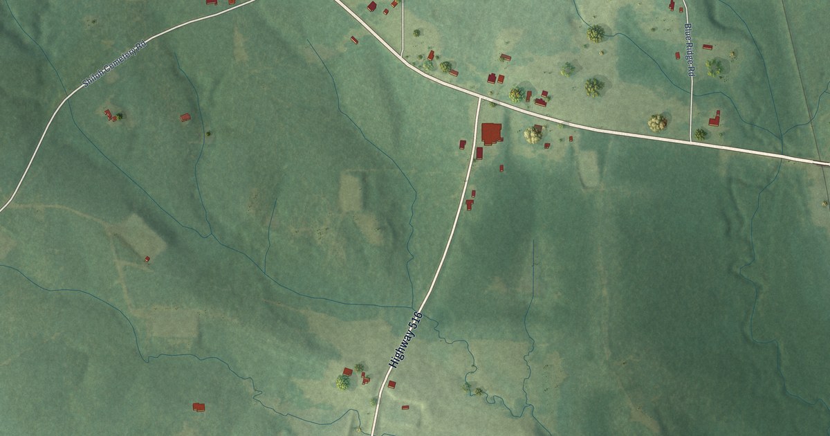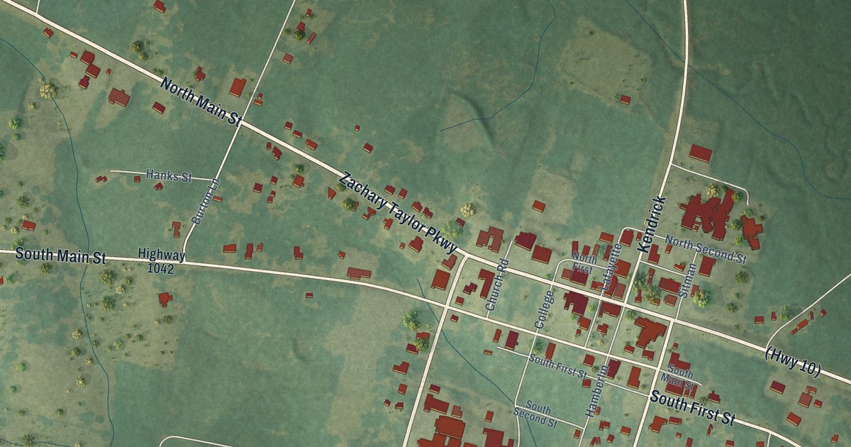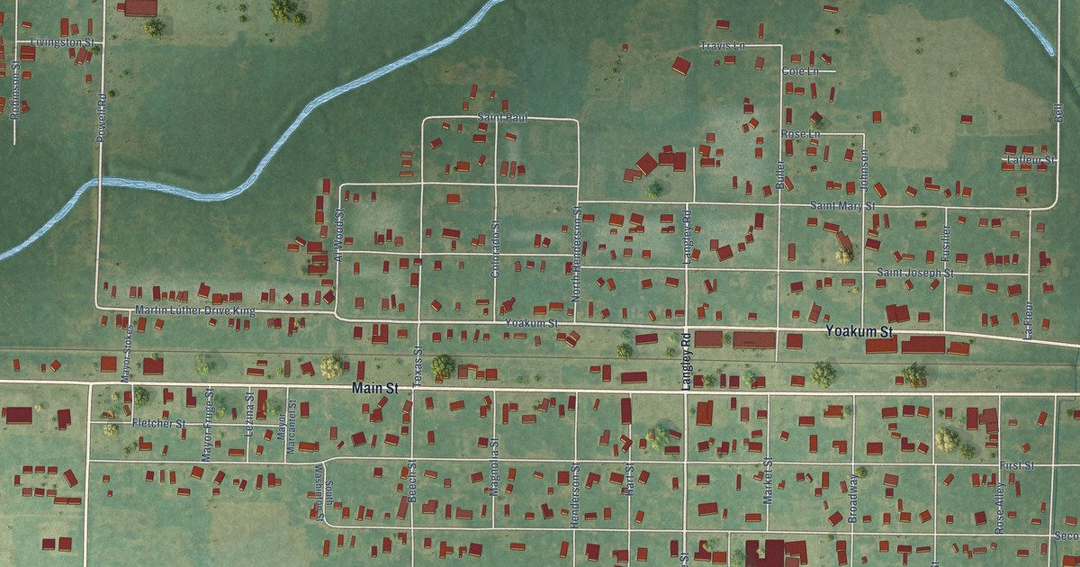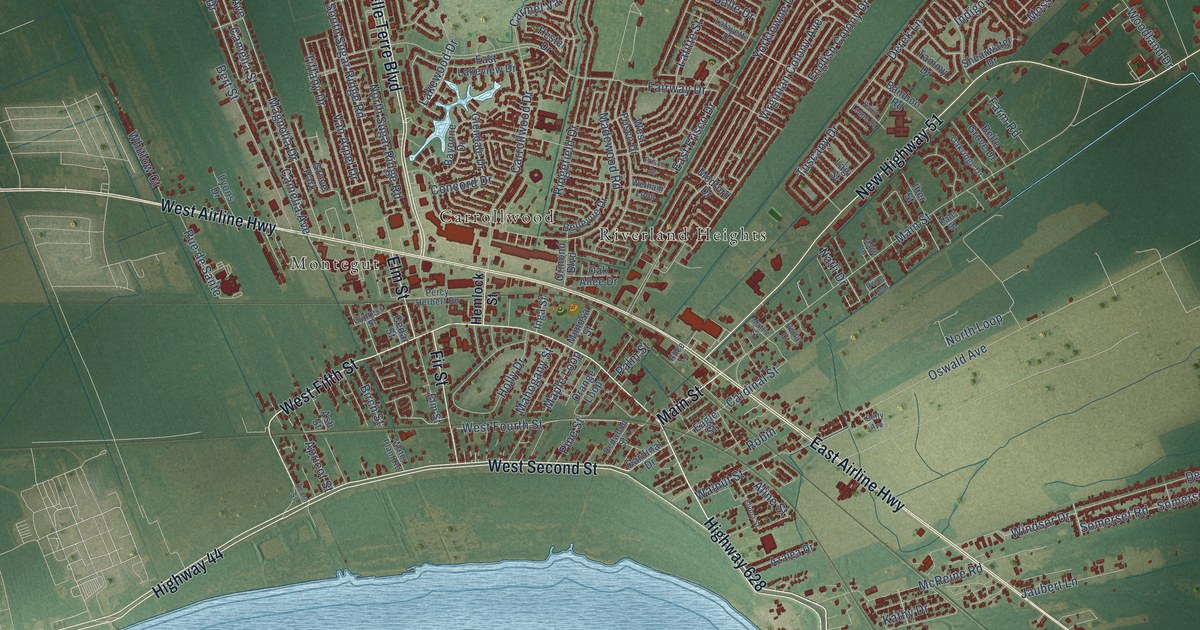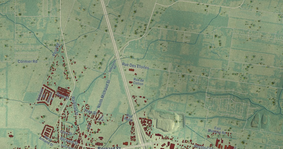
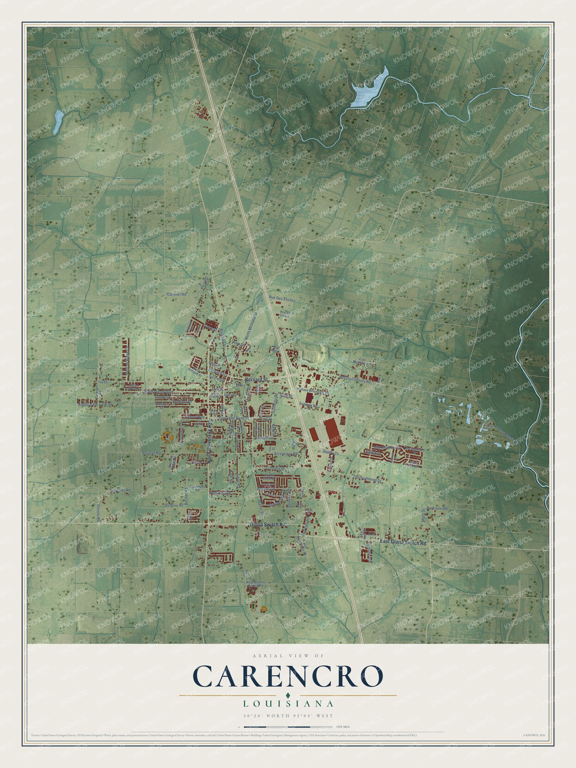
This beautifully detailed map of Carencro, Louisiana was created in 2026 using aerial imagery combined with modern topographical, census, street and landmark data. It's a modern aerial view of Carencro in Lafayette Parish, Louisiana, that combines modern data with a vintage aesthetic. The roads feature printed names, and if you look closely you can find your exact house accurately shown in its correct location.
Explore an aerial view of Carencro, Louisiana
On this map you'll find Gloria, Bernard Street, North University Avenue, Gloria Switch Road, East Gloria Switch Road, Hector Connoly Road, North Michaud Street, Railroad Street, Moss Street, Post Road, Ira Street, Walter Drive, and more. Each red shape is a building, so zoom in on the preview and look for yours.
Here is a piece of Carencro history, in the words of the record. The National Park Service puts it this way: "The project of Reverend Francis Smith, pastor of Carencro's Our Lady of the Assumption Catholic Church and a member of the Holy Ghost order, the school opened in 1934, nine years after construction of the church and accompanying rectory."
Carencro is a city in Lafayette Parish. The Census Bureau counted 9,272 people here in 2020.
Take a closer look at the Carencro map
Names on this map
These names are printed on this map.
Places: Gloria.
Streets and roads: Bernard Street, North University Avenue, Gloria Switch Road, East Gloria Switch Road, Hector Connoly Road, North Michaud Street, Railroad Street, Moss Street, Post Road, Ira Street, Walter Drive, Arceneaux Road.
More street names, A to Z
Aimee Drive, Amesbury Drive, Andre Street, Arabian Drive, Auburn Drive, Barnet Court, Bay Meadow Lane, Beau Bassin Road, Bechet Road, Bradford Drive, Breaux Road, Brockton Drive, Calex Road, Cankton Road, Church Street, Clara Street, Clayton Street, Cormier Road, Dave Street, Debutante Road, Derek Plaza Drive, Desoto Road, East Armand Street, East Musique Road, Eloise Road, Elwick Drive, Endicott Drive, Estelle Drive, Fab Street, Fado, Farmview Drive, Four Park Road, Francois Drive, Gourmet Road, Greg Street, Guidry Lane, Guilbeau Road, Huron Street, Inryco Drive, Jack Street, Jason Drive, Kate Road, Kentwood Drive, Louis Arceneaux Road, Luxford Way, Marshfield Drive, Maydell Lane, Meadowland Drive, Melanie Lane, Monica Lane, Moss Bluff Drive, Nautical Road, Oak Path Drive, Ola Street, Ovide Road, Pamela Street, Parklane Road, Pavilion Street, Pelican Ridge Cv, Potier Road, Prejean Road, Rampart Street, Rue Basin, Rue Ciel, Rue Colombe, Rue de Cotton, Rue Des Etoiles, Rue Saint Anne Street, Saddle Crest Drive, Safe Haven Drive, Saint Anne Street, Saint Charles Street, Saint Louis Street, Saint Pierre Boulevard, Shar Mon Road, Sis Lane, Smalley Road, Sonnier Road, Sosthene Road, Stemmans Road, Summerfest Drive, Teema Road, Theo Street, Thoroughbred Drive, Tison Road, Tournament Drive, Vermont Drive, Wallace Broussard Road, West Armand Street, West Butcher Switch Road, Wilda Street, Wisteria Bend Circle.
Created by KNOWOL in 2026. The buildings are small red shapes, the roads carry their printed names, and shaded relief shows the shape of the land. The title panel reads "AERIAL VIEW OF CARENCRO LOUISIANA" with 30°20' NORTH 92°03' WEST.
It suits a den, a classroom or a front hall, and it makes a gift for anyone with Carencro roots. Open the preview and find the block you know. See sizes and frames for the Carencro map.