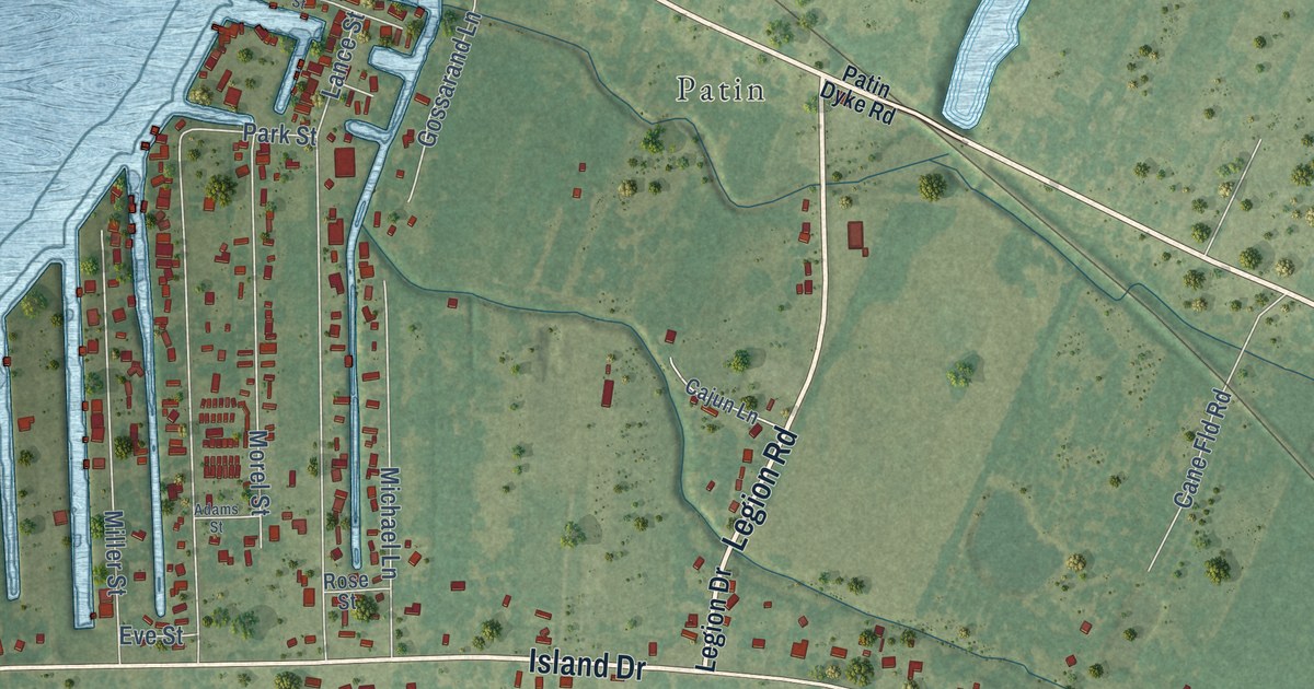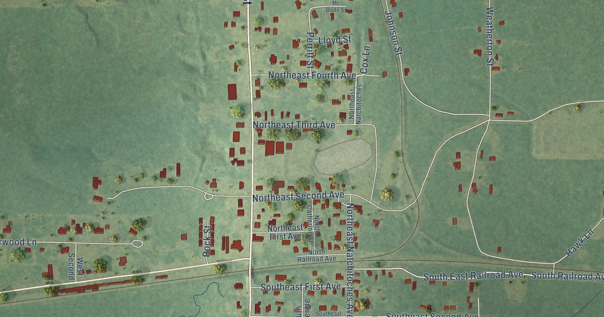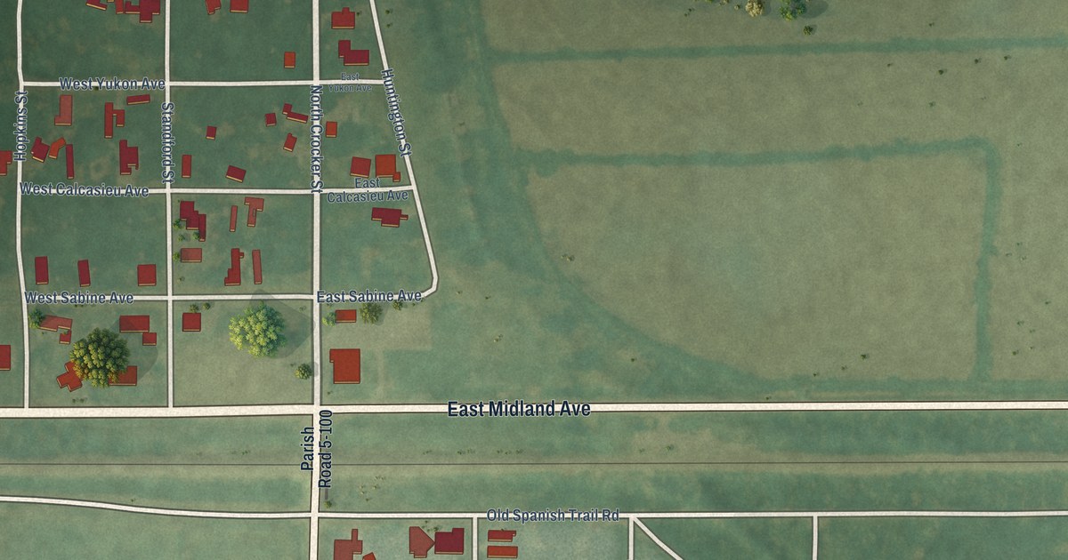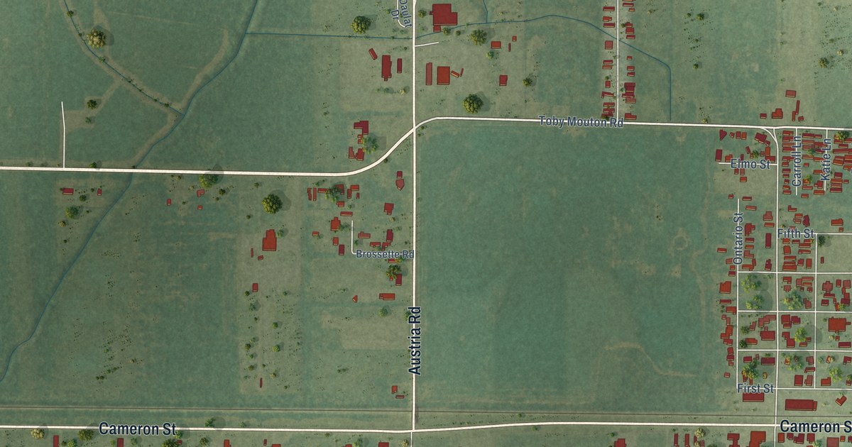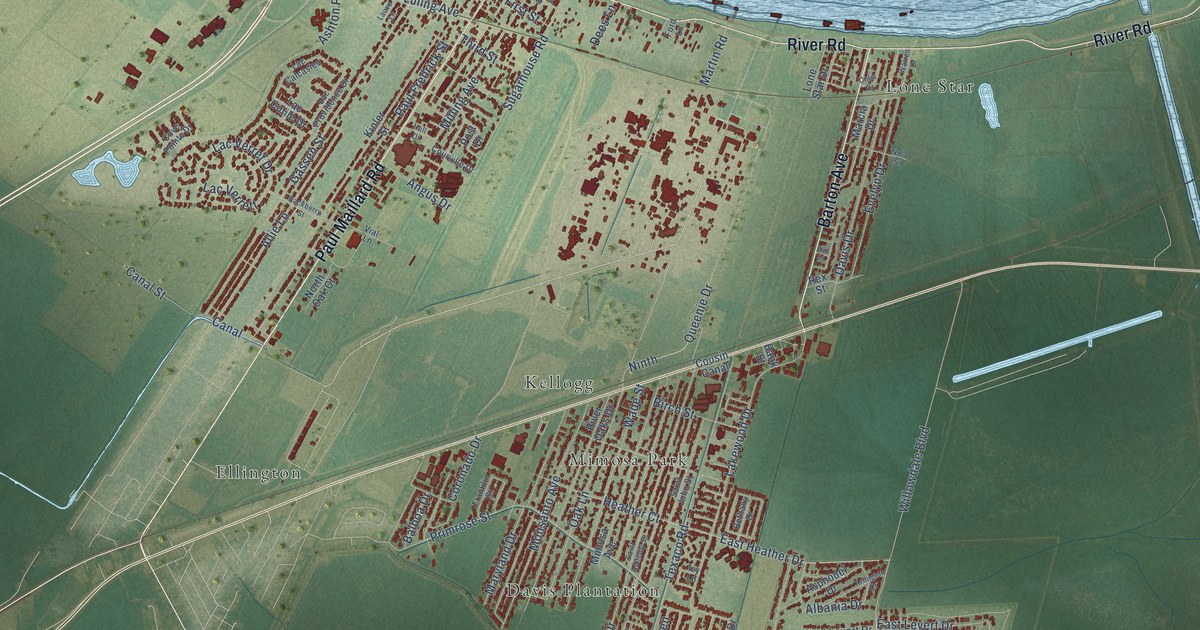
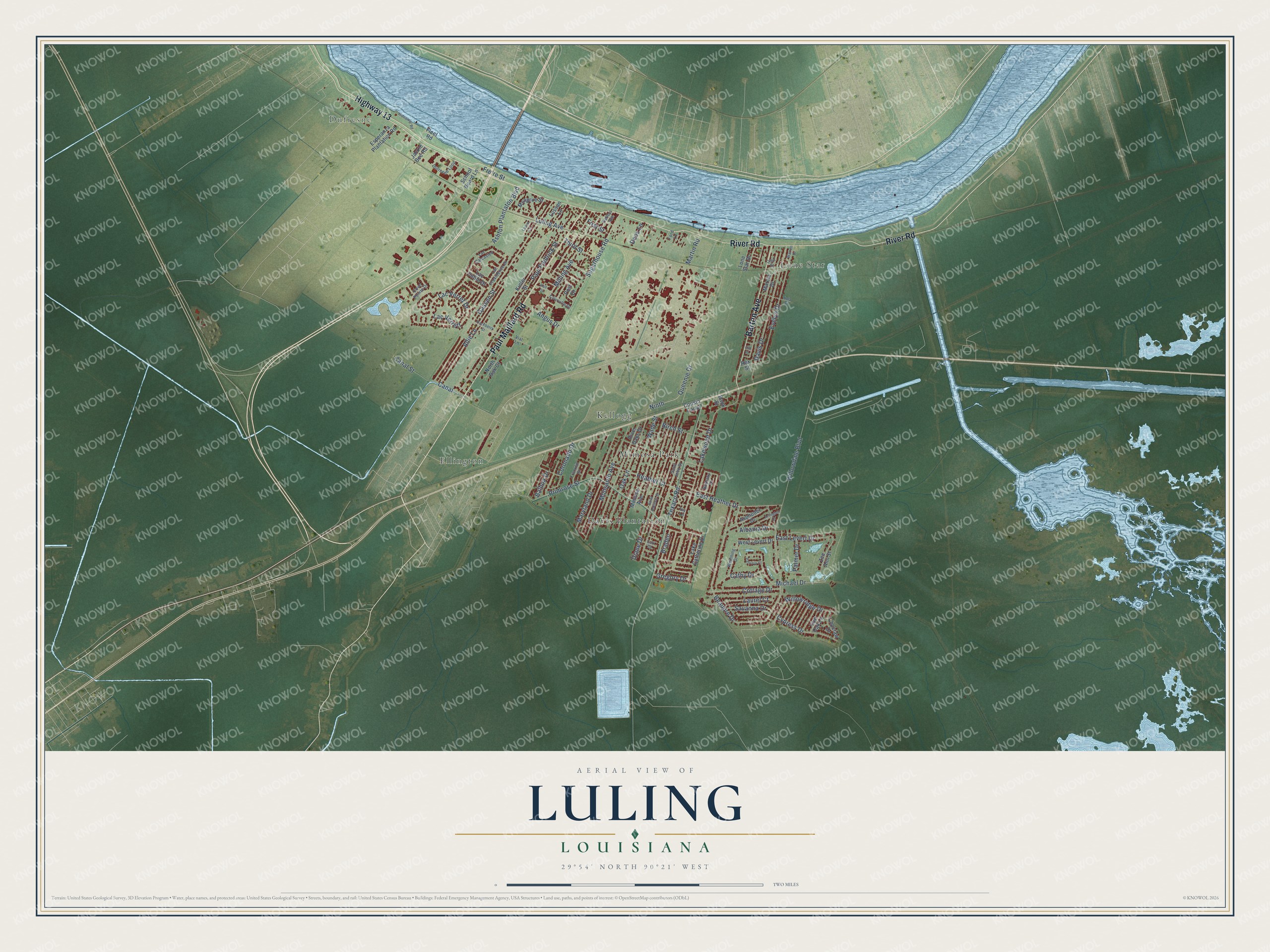
This beautifully detailed map of Luling, Louisiana was created in 2026 using aerial imagery combined with modern topographical, census, street and landmark data. It’s a one-of-a-kind view of Luling that combines accurate data with a vintage aesthetic. The map shows every building in its true location, many of the roads carry their names, and the shaded topographic relief shows the shape of the land.
Explore an aerial view of Luling, Louisiana
On the map you’ll find Dufresne, Davis Plantation, Ellington, Kellogg, Lone Star, and Mimosa Park, along with Paul Maillard Road, River Road, Highway 13, Barton Avenue, Oak Lane, Willowridge Drive, and more. If you look closely you can even find your house accurately drawn in its correct location. Zoom in on the preview to look for yours.
Did you know this piece of Luling, Louisiana history?
From the St. Charles Parish Historical Association: "Luling began as St. Denis, named as such by a railroad owner and known locally as Old Town or Cajun Town before being known as Gassenville."
Take a closer look at the Luling map
Street and place names on the Luling, Louisiana map
These names are printed on the map of Luling, Louisiana.
Places: Dufresne, Davis Plantation, Ellington, Kellogg, Lone Star and Mimosa Park.
Streets and roads: Paul Maillard Road, River Road, Highway 13, Barton Avenue, Oak Lane, Willowridge Drive, Texaco Road, Willowdale Boulevard, Queenie Drive, Lakewood Drive, Ashton Plantaton Boulevard, Paul Fredrick Street.
More street names, A to Z
Albania Drive, Allie Lane, Angus Drive, Arlington Drive, Asphodel Drive, Balboa Drive, Bank Street, Beaupre Drive, Bethany Drive, Birch Street, Braden, Canal, Canal Street, Cathy Drive, Celia Drive, Choctaw Drive, Coronado Drive, Cottage Drive, Courville Drive, Cousin Canal, Cove Pointe Drive, Cypress Drive, Davis Drive, Dees Lane, Diane Drive, Dufresne Loop, East Heather Drive, East Levert Drive, Elm Place, Esperanza Plantation Road, Evelyn Drive, First Street, Fleet Road, Ford Lane, Franklin Street, Fre're Street, Gassen Street, Gregory Drive, Hackberry Street, Hall Drive, Heather Court, Hideaway Road, Ivy Lane, Jackie Bee Road, Kinler Street, Lac Calcasieu, Lac Cotile Drive, Lac Providence Drive, Lac Verret Drive, Lac Verrett, Lake Catherine Drive, Laurel Court, Lauve Lane, Live Oak Lane, Lone Star Drive, Lori Court, Luling Avenue, Lussan Lane, Marcia Drive, Martin Road, Maryland Drive, Michael Drive, Milling Avenue, Mimosa Avenue, Mongrue Street, Monsanto Avenue, Ninth, Nola Street, North Oak Court, Palmer Drive, Patricia Court, Post Drive, Primrose Street, Rex Street, River Oaks Drive, Saint Anthony Street, Saint John Street, Savanna Drive, School Board Lane, Sellers Avenue, Sugarhouse Road, Third Street, Vial Lane, Wade Street, Warren Drive, Weinning Drive, West Levert Drive, Zee Ann Street.
See the Luling, Louisiana map on a wall
The Luling map as an 18 x 24 inch print in a black frame.

This beautifully detailed map of Luling makes an attractive addition to your office, library, or den, and it can even be used to teach children the geography and history of the area. It also makes a great gift for someone who left Luling and still calls it home. When you’re done exploring, click here to get your copy of the Luling map.