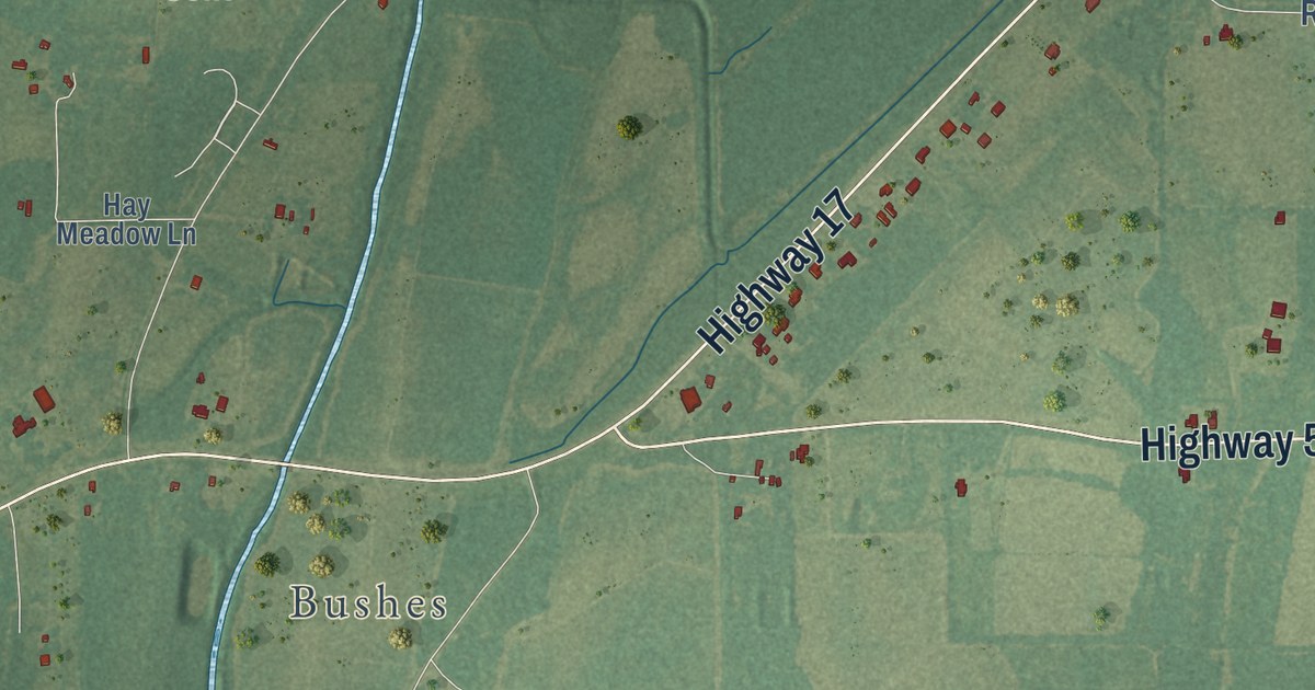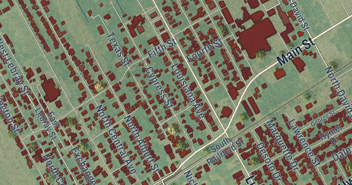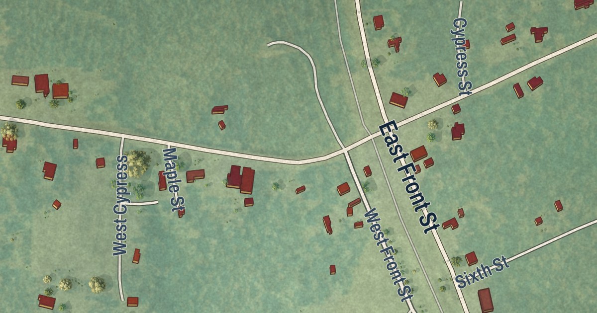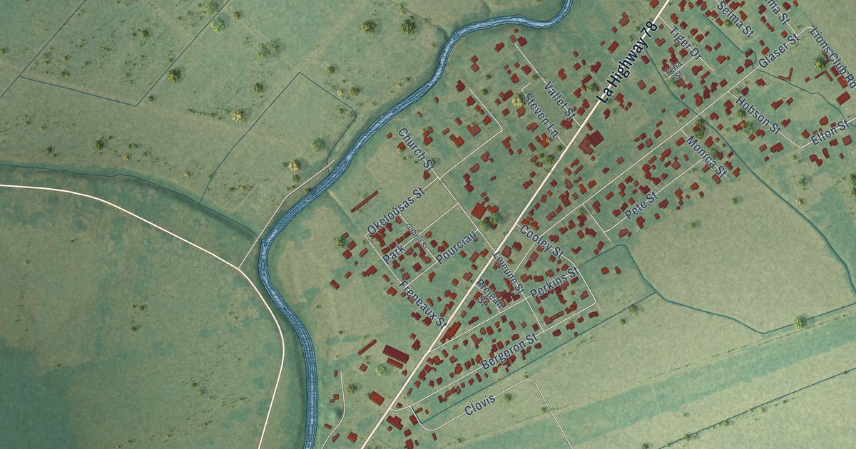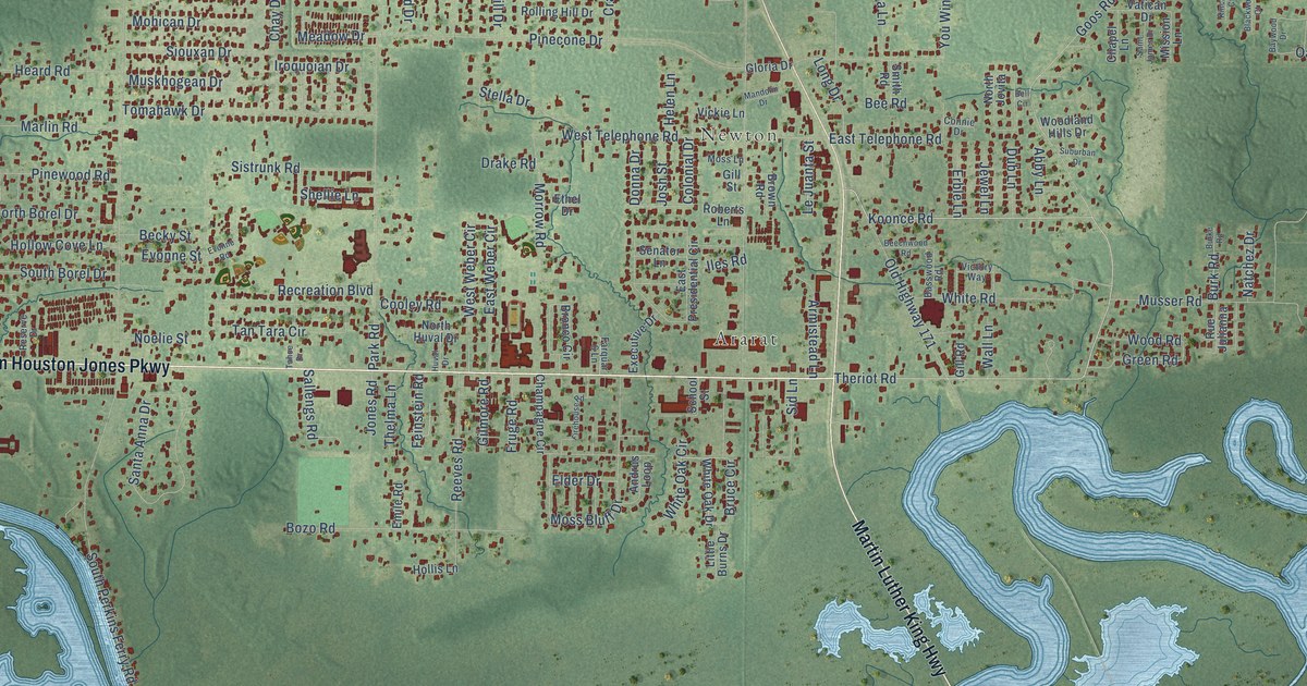
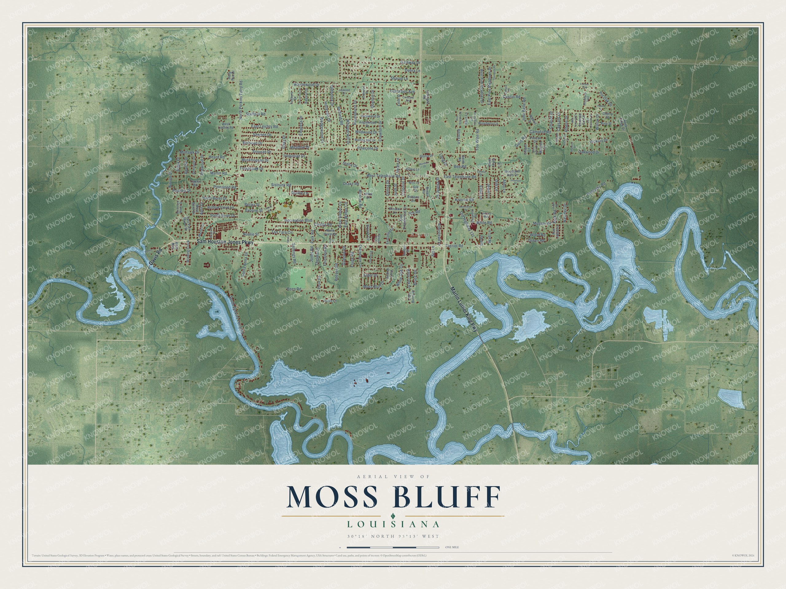
This beautifully detailed map of Moss Bluff, Louisiana was created in 2026 using aerial imagery combined with modern topographical, census, street and landmark data. It’s a one-of-a-kind view of Moss Bluff that combines accurate data with a vintage aesthetic. The map shows every building in its true location, many of the roads carry their names, and the shaded topographic relief shows the shape of the land.
Explore an aerial view of Moss Bluff, Louisiana
On the map you’ll find Newton and Ararat, along with Sam Houston Jones Parkway, Davis Road, Martin Luther King Highway, Theriot Road, Koonce Road, Goos Road, Burk Road, Campfire Road, Pinecone Drive, Mohawk Drive, and more. If you look closely you can even find your house accurately drawn in its correct location. Zoom in on the preview to look for yours.
Did you know this piece of Moss Bluff, Louisiana history?
From KPLC: "Early settlers of Moss Bluff did not have the luxury of a school and had to send their children to schools in Lake Charles and Gillis. The commute often consisted of about two hours on horse-drawn buggies and ferries."
Take a closer look at the Moss Bluff map
Street and place names on the Moss Bluff, Louisiana map
These names are printed on the map of Moss Bluff, Louisiana.
Places: Newton and Ararat.
Streets and roads: Sam Houston Jones Parkway, Davis Road, Martin Luther King Highway, Theriot Road, Koonce Road, Goos Road, Burk Road, Campfire Road, Pinecone Drive, Mohawk Drive, South Perkins Ferry Road, North Perkins Ferry Road.
More street names, A to Z
Abby Lane, Andrus Loop, Anglewood Drive, Apache Drive, April Drive, Armistead Lane, Athens Drive, Basswood Road, Bayleaf Drive, Baywood Drive, Beachmont Drive, Becky Street, Beechwood Road, Bee Road, Belfield Road, Bell Circle, Blackwood Court, Bozo Road, Bronco Circle, Brown Road, Bruce Circle, Burke Road, Caesars Court, Calcasieu Avenue, Cascio Road, Champagne Circle, Chapel Lane, Chariot Drive, Chay Drive, Cherry Street, Colonial Drive, Connie Drive, Cooley Road, Crawford Drive, Crescent Avenue, Debra Lane, Dennis Lane, Donna Drive, Drake Road, Dub Lane, East Diamond Circle, East Kingston Square, East Leichty Road, East Park Manor Drive, East Pine Meadows Drive, East Presidential Circle, East Telephone Road, East Weber Circle, Edith Street, Elder Drive, Emerald Cut Lane, Emile Road, Empress Drive, Erble Lane, Ethel Drive, Evonne Road, Evonne Street, Executive Drive, Farquar 6 Lane, Feinstein Road, Firehouse Road, Foxboro Drive, Frontier Trail, Fruge Road, Gateway Drive, Georgia Road, Gill Road, Gill Street, Gilmore Road, Gloria Drive, Green Road, Hardwood Drive, Heard Road, Helen Lane, Hickory Drive, Hollis Lane, Hollow Cove Lane, Holly Run Drive, Hollyvale Drive, Huval Drive, Idlebrook Drive, Iles Road, Iroquoian Drive, Jaywood Drive, Jewel Lane, John Belle Road, Jones Road, Josh Street, Kincade Court, Lavergne Road, Le Juanta Street, Little Burns Drive, Long Drive, Mandolin Drive, Marlin Road, Meadow Drive, Merlot Drive, Mission Lane, Mohican Drive, Morrow Road, Moss Bluff Drive, Moss Lane, Muskhogean Drive, Musser Road, Natchez Drive, Navajo Drive, Noelie Street, North Borel Drive, North Huval Drive, North Jovita, Oakwood Drive, Old Highway 171, Park Road, Pawnee Drive, Pecan Drive, Pine Street, Pinewood Road, Pin Oak Drive, Podrasky Road, Quentin Drive, Ravenhurst Drive, Recreation Boulevard, Redwood Drive, Reeves Road, Reserve Drive, River Mist, Roberts Lane, Rock Creek Drive, Rolling Hill Drive, Rothwood Drive, Rue Julianna, Saint James Drive, Sallengs Road, Santa Anna Drive, Sawnee Drive, School Street, Seminole Drive, Senator Lane, Sharon Lane, Shellie Lane, Short Lane, Sid Lane, Siouxan Drive, Sioux Drive, Sistrunk Road, Smith Road, South Borel Drive, Stafford Road, Stella Drive, Suburban Drive, Tahoe Drive, Tan Tara Circle, Thelma Lane, Thompson Road, Tomahawk Drive, Traxler Road, Vatican Drive, Verna Lane, Vickie Lane, Victory Way, Wall Lane, Walnut Drive, Waynewood Drive, Wedgewood Drive, West Borel Drive, West Diamond Circle, West Kingston Square, West Liechty Road, West Park Manor Drive, West Pine Meadows Drive, West Telephone Road, West Weber Circle, Whipperwill Drive, White Oak Circle, White Oak Drive, White Road, Wildwood Drive, Willow Drive, Winding Creek, Wineberry Lane, Woodland Hills Drive, Woodland Trail, Wood Road, You Winn Road.
See the Moss Bluff, Louisiana map on a wall
The Moss Bluff map as an 18 x 24 inch print in a black frame.

This beautifully detailed map of Moss Bluff makes an attractive addition to your office, library, or den, and it can even be used to teach children the geography and history of the area. It also makes a great gift for someone who left Moss Bluff and still calls it home. When you’re done exploring, click here to get your copy of the Moss Bluff map.