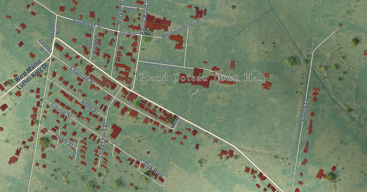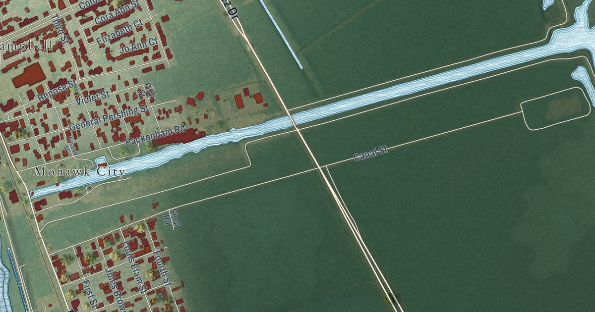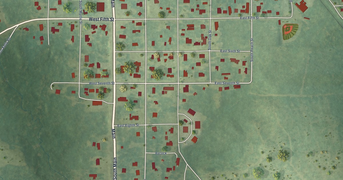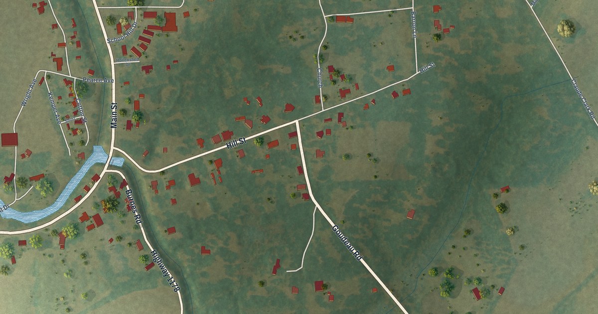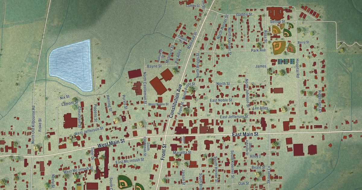
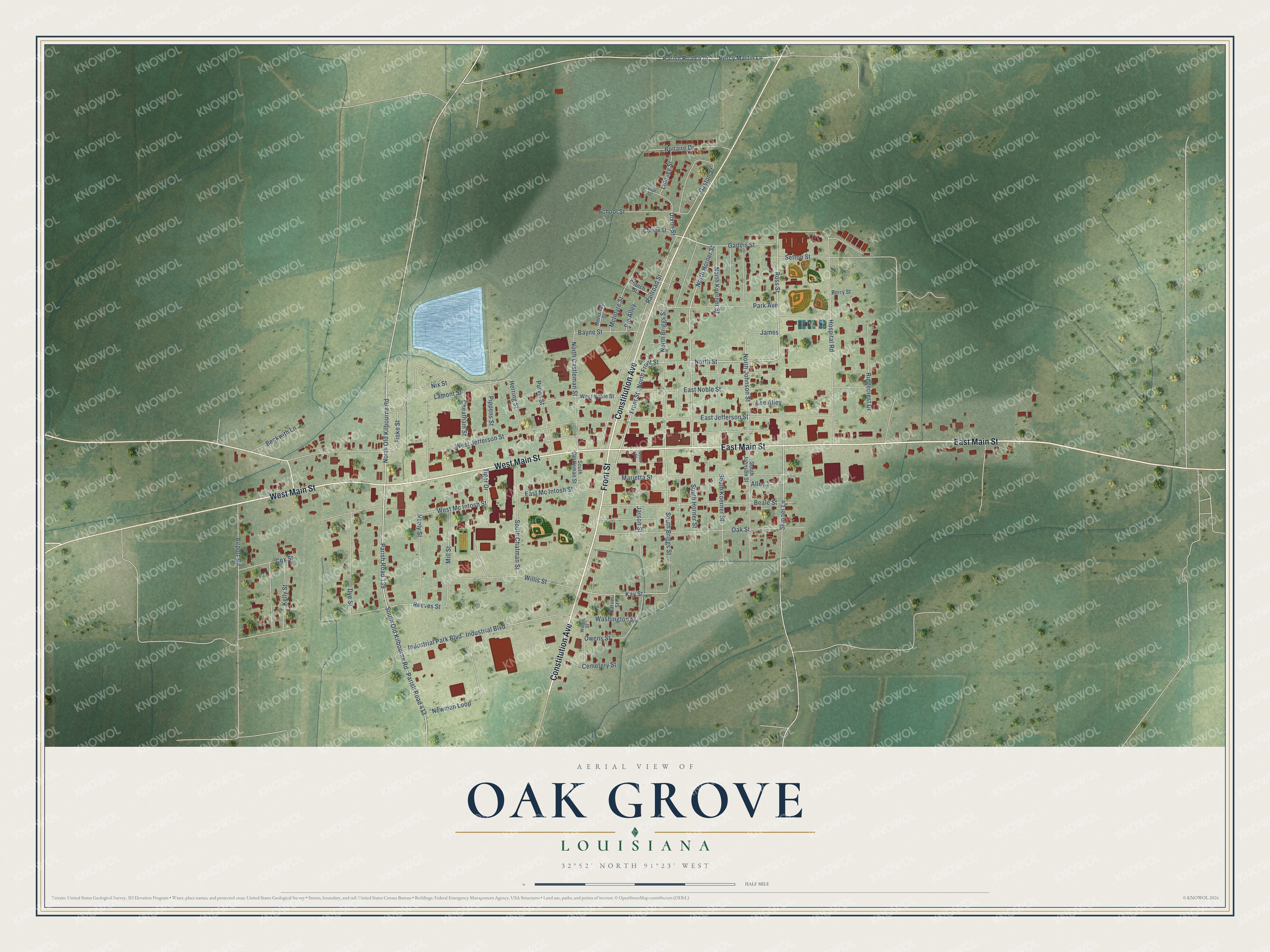
This beautifully detailed map of Oak Grove, Louisiana was created in 2026 using aerial imagery combined with modern topographical, census, street and landmark data. It's a modern aerial view of Oak Grove in West Carroll Parish, Louisiana, that combines modern data with a vintage aesthetic. The roads feature printed names, and if you look closely you can find your exact house accurately shown in its correct location.
Explore an aerial view of Oak Grove, Louisiana
On this map you'll find Front Street, Constitution Avenue, East Main Street, West Main Street, Dixon Street, North Old Kilbourne Road, North Front Street, South Old Kilbourne Road, North Street, Parish Road 139, Parish Road 413, North Horner Street, and more. Each red shape is a building, so zoom in on the preview and look for yours.
Every town has a first chapter, and Oak Grove is no exception. The National Park Service puts it this way: "Oak Grove became the dominant town of rural West Carroll Parish shortly after the Missouri Pacific Railroad constructed a line through the parish in 1908."
Oak Grove is a town in West Carroll Parish. The Census Bureau counted 1,441 people here in 2020.
Take a closer look at the Oak Grove map
Names on this map
These names are printed on this map.
Streets and roads: Front Street, Constitution Avenue, East Main Street, West Main Street, Dixon Street, North Old Kilbourne Road, North Front Street, South Old Kilbourne Road, North Street, Parish Road 139, Parish Road 413, North Horner Street.
More street names, A to Z
Airport Road, Alley 1, Bayne Street, Beale Street, Beckwith Lane, Berry Street, Bonaire Drive, Carver Street, Cemetery Street, Cheatham Street, Church Street, Combs Street, Cox Street, Dye Street, East Jefferson Street, East Mc Intosh Street, East Noble Street, Fiske Street, Gaddis Street, Gaston Street, Herring Street, Holloway Street, Hospital Road, Industrial Boulevard, Industrial Park Boulevard, James, Jarson Street, Jason Street, Kay Street, Kelly Street, Lamont Street, Lee Alley, Lindsey Street, Lodge Street, Marietta Street, McIntyre Street, Mill Street, Neely Street, Newman Loop, Nix Street, North Briggs Street, North Castleman Street, North Johnson Street, North Koerner Street, Oak Street, Owens Street, Parish Road 424, Park Avenue, Percy Martin Lane, Pie Alley, Pippens Street, Purvis Street, Railroad Street, Reeves Street, Ridgecrest Drive, Ross Street, School Street, Setton Street, Skinner Lane, South Briggs Street, South Castleman Street, South Chatman Street, South Horner Street, South Johnson Street, South Koerner Street, Tiger Drive, Washington Street, Waters Street, West Jefferson Street, West Mc Intosh Street, West Noble Street, Willis Street.
Created by KNOWOL in 2026. The buildings are small red shapes, the roads carry their printed names, and shaded relief shows the shape of the land. The title panel reads "AERIAL VIEW OF OAK GROVE LOUISIANA" with 32°52' NORTH 91°23' WEST.
Hang it in the hallway, the office or the cabin, or give it to someone who left Oak Grove and still calls it home. Open the preview and look for a street you know. See sizes and frames for the Oak Grove map.