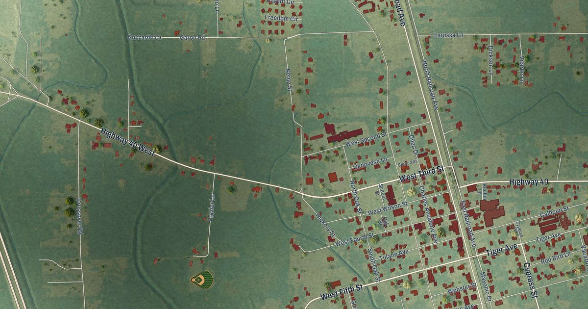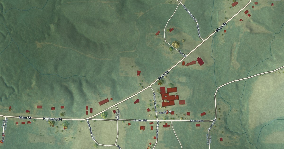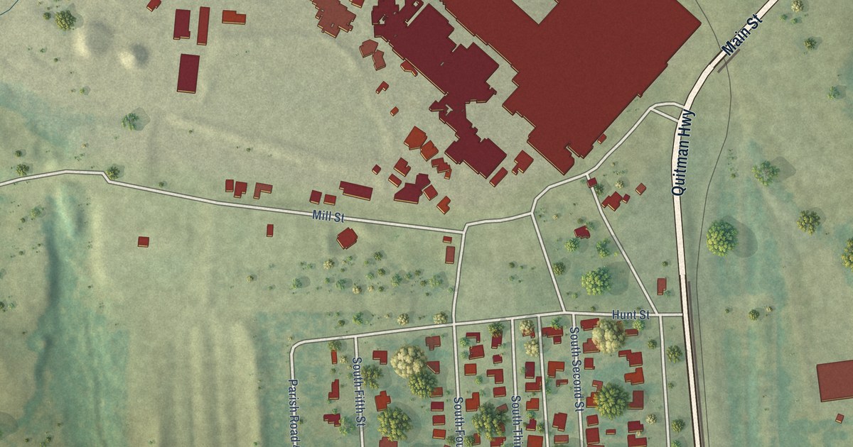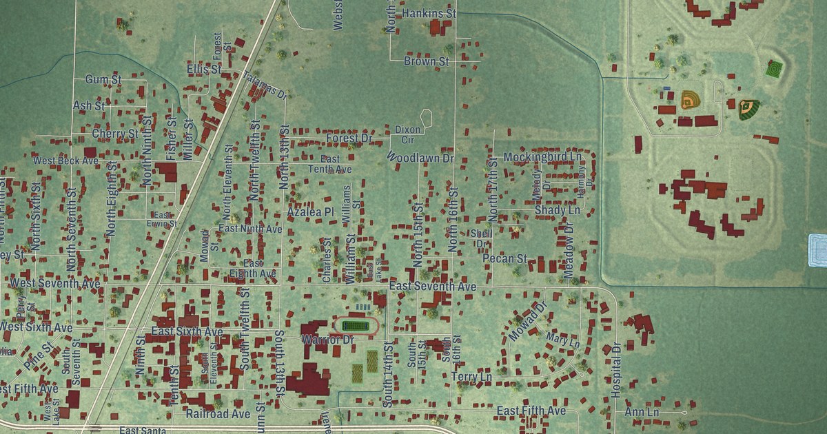
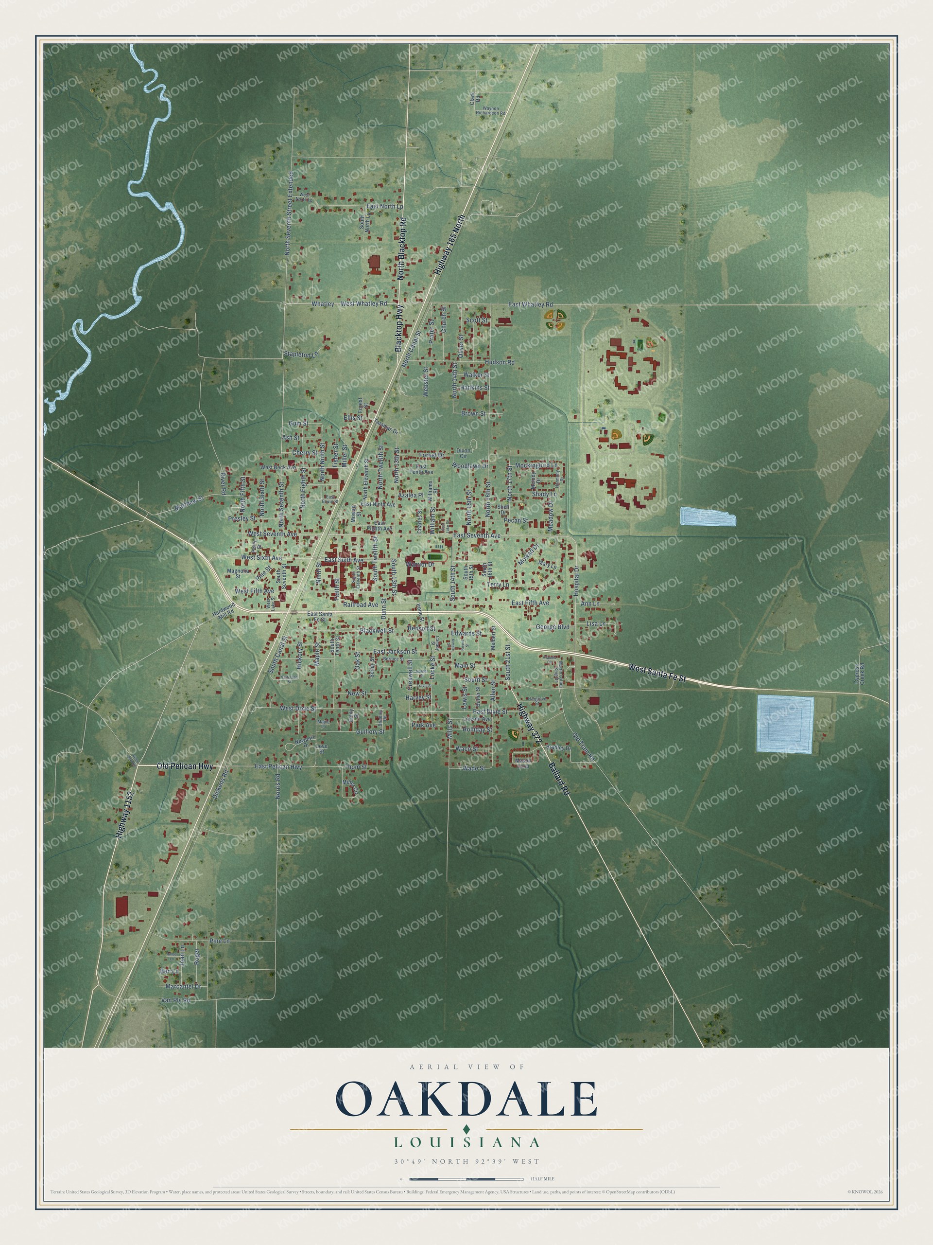
This beautifully detailed map of Oakdale, Louisiana was created in 2026 using aerial imagery combined with modern topographical, census, street and landmark data. It's a modern aerial view of Oakdale in Allen Parish, Louisiana, that combines modern data with a vintage aesthetic. The roads feature printed names, and if you look closely you can find your exact house accurately shown in its correct location.
Explore an aerial view of Oakdale, Louisiana
On this map you'll find Old Pelican Highway, Highway 165 North, North Blacktop Road, Blacktop Highway, West Santa Fe Street, Highway 1152, Ballard Road, Highway 372, West Whatley Road, Blackwell Street, East Seventh Avenue, North 14th Street, and more. Each red shape is a building, so zoom in on the preview and look for yours.
Oakdale is a city in Allen Parish. The Census Bureau counted 6,692 people here in 2020. The map prints the town name in its title panel, with the coordinates below it.
Take a closer look at the Oakdale map
Names on this map
These names are printed on this map.
Streets and roads: Old Pelican Highway, Highway 165 North, North Blacktop Road, Blacktop Highway, West Santa Fe Street, Highway 1152, Ballard Road, Highway 372, West Whatley Road, Blackwell Street, East Seventh Avenue, North 14th Street.
More street names, A to Z
Allen Street, Amber Lane, Ann Lane, Ash Street, Azalea Place, Ben Lane, Benson Street, Bernice Street, Bradley Drive, Brindley Road, Brown Street, Butler Street, Canady Street, Charles Street, Cherry Street, Church Street, Clark Road, Claudia Circle, Creswell Street, Cypress Creek Road, Dickens Road, Dixon Circle, Dunn Street, East Dixie Street, East Eighth Avenue, East Erwin Street, East Fifth Avenue, East Jackson Street, East Lake Street, East Ninth Avenue, East North Lp, East Pelican Highway, East Santa Fe Street, East Sixth Avenue, East Tenth Avenue, East Whatley Road, Edwards Street, Ellis Street, Emily Street, Fisher Street, Forest Drive, Forest Street, Garner Street, George Boulevard, Guillory Street, Gum Street, Hankins Street, Hardwood Mill Road, Hargrove Street, Harmony Drive, Harvey Street, Hickory Street, Holliday Street, Hospital Drive, Hudson Road, Irene Street, Joan Lane, Kimble Street, Lewis Street, Lincoln Avenue, Lisa Lane, Locke Street, Love Street, Magnolia Street, Main Street, Maple Lane, Maple Street, Marcantel Drive, Martin Luther King Drive, Mary Lane, Mason Loop, Matthew Street, Meadow Drive, Melbert Street, Melody Drive, Miller Circle, Miller Street, Mills Street, Mockingbird Lane, Mowad Drive, Mowad Street, Newport Drive, New Street, Ninth Street, Norris Road, North 13th Street, North 15th Street, North 16th Street, North 17th Street, North Canal Street, North Eighth Street, North Eleventh Street, North Fifth Street, North Ninth Street, North Seventh Street, North Seventh Street Extended, North Sixth Street, North Twelfth Street, Oak Street, Old Tram Road, Oliver Street, Park Avenue, Patterson Street, Pecan Street, Perry Street, Pine Lane, Pine Street, Prater Street, Presley Street, Railroad Avenue, River Dam Road, River Road, Rivers Street, Roger, Scott Street, Seiley Street, Shady Lane, Shell Drive, South 13th Street, South 14th Street, South 15th Street, South 16th Street, South 21st Street, South Canal Street, South Eleventh Street, South North Lp, South Seventh Street, South Street, South Tenth Street, South Twelfth Street, Stapleton Lane, Talamas Drive, Tenth Street, Terry Lane, Thom Street, Travis Street, Van Ply Road, Waco Street, Wade Street, Walker Street, Warrior Drive, Waynon Richardson Road, Webster Street, West Beck Avenue, West Dixie Street, West Fifth Avenue, West Lake Street, West North Lp, West Seventh Avenue, West Sixth Avenue, Whatley, Williams Street, William Street, Woodlawn Drive.
Created by KNOWOL in 2026. The buildings are small red shapes, the roads carry their printed names, and shaded relief shows the shape of the land. The title panel reads "AERIAL VIEW OF OAKDALE LOUISIANA" with 30°49' NORTH 92°39' WEST.
It suits a den, a classroom or a front hall, and it makes a gift for anyone with Oakdale roots. Open the preview and find the block you know. See sizes and frames for the Oakdale map.