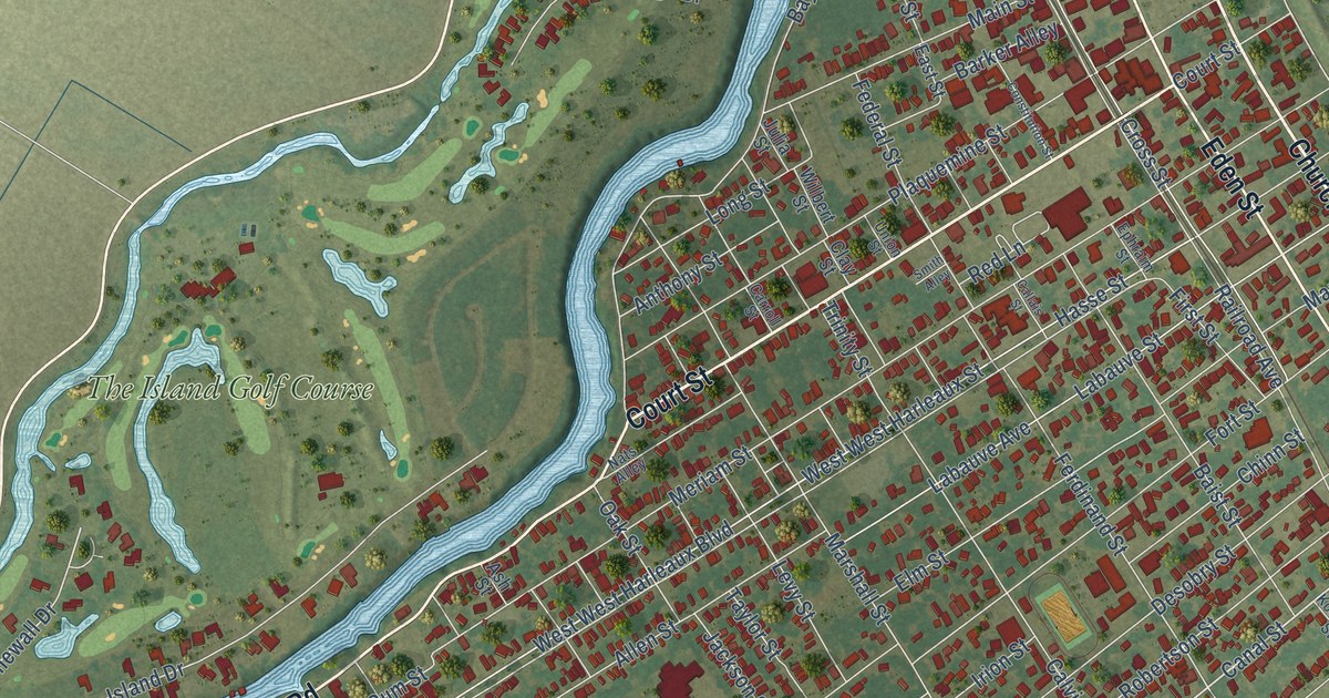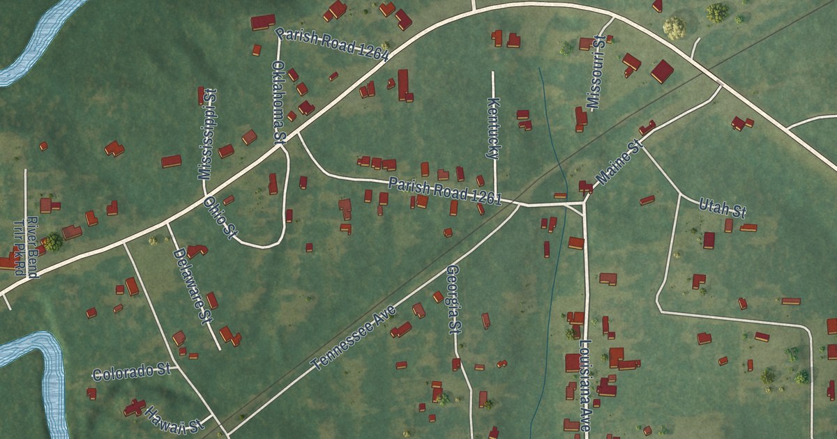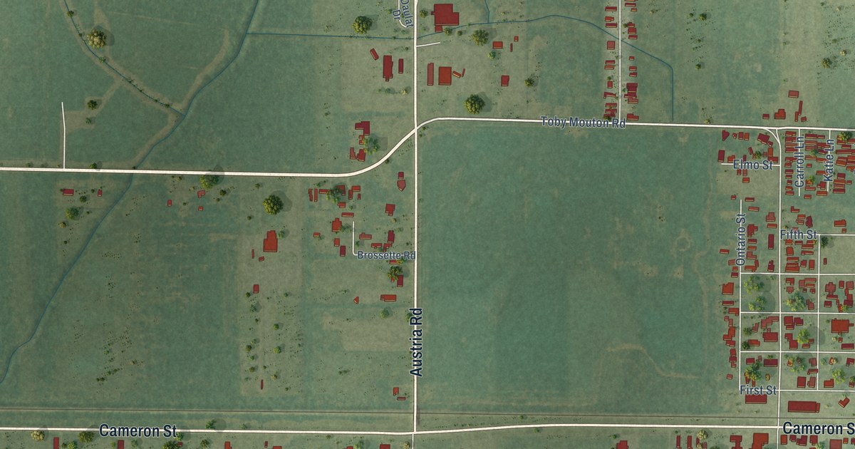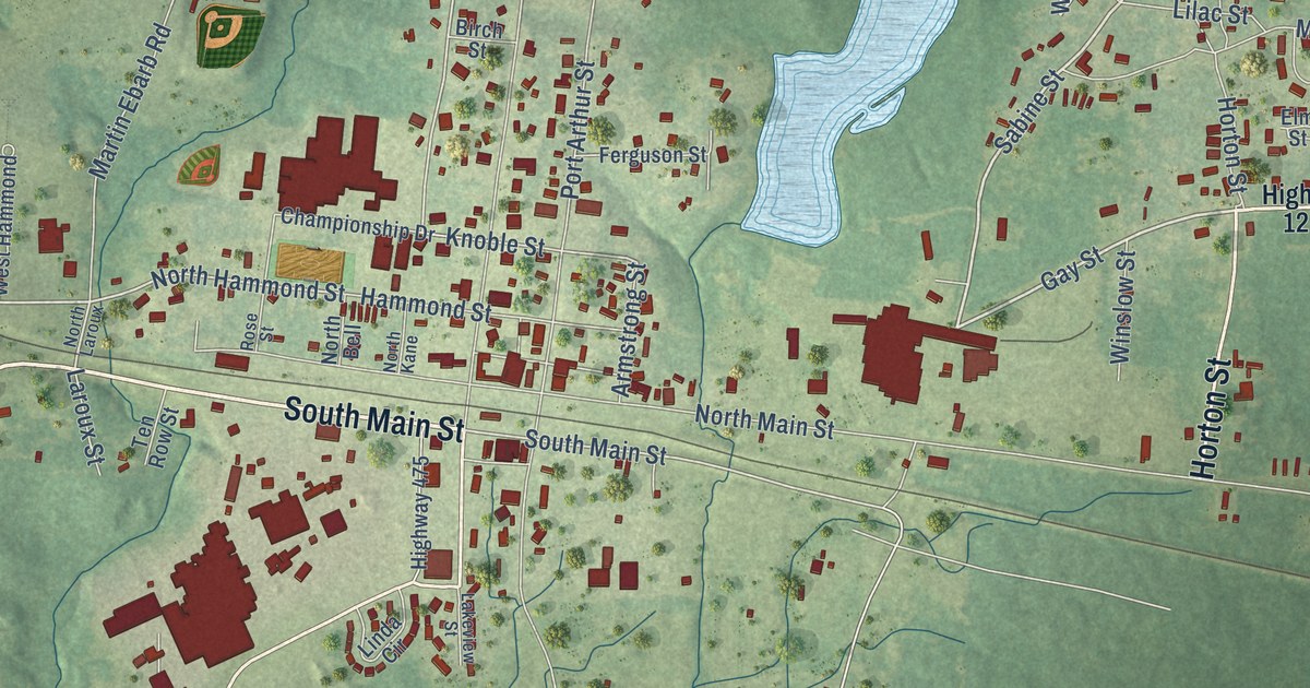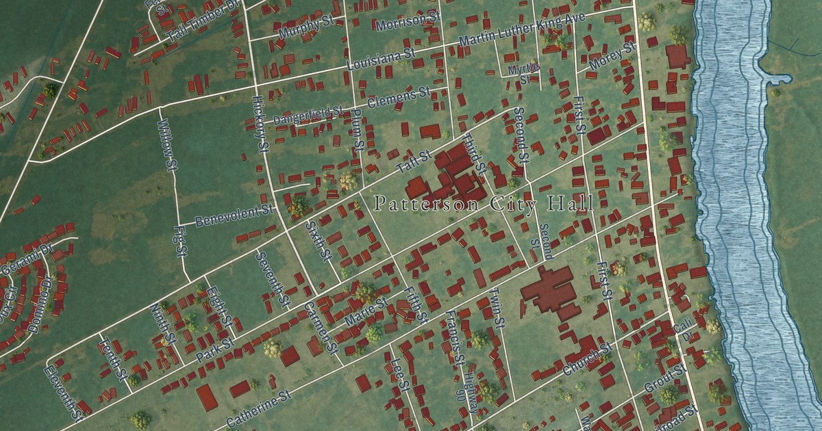
This beautifully detailed map of Patterson, Louisiana was created in 2026 using aerial imagery combined with modern topographical, census, street and landmark data. It’s a one-of-a-kind view of Patterson that combines accurate data with a vintage aesthetic. The map shows every building in its true location, many of the roads carry their names, and the shaded topographic relief shows the shape of the land.
Explore an aerial view of Patterson, Louisiana
On the map you’ll find Patterson City Hall and Idlewild, along with Highway 90, Main Street, Williams Street, Hickory Street, Veterans Drive, Lucia Drive, Highway 87, David Drive, Camille Drive, Mike Drive, and more. If you look closely you can even find your house accurately drawn in its correct location. Zoom in on the preview to look for yours.
Did you know this piece of Patterson, Louisiana history?
From the Cajun Coast Visitors Bureau: "Pattersonville was incorporated in 1907 as the Town of Patterson. The town of Patterson was once home to the largest cypress sawmill in the world, owned by Frank B. Williams."
Take a closer look at the Patterson map
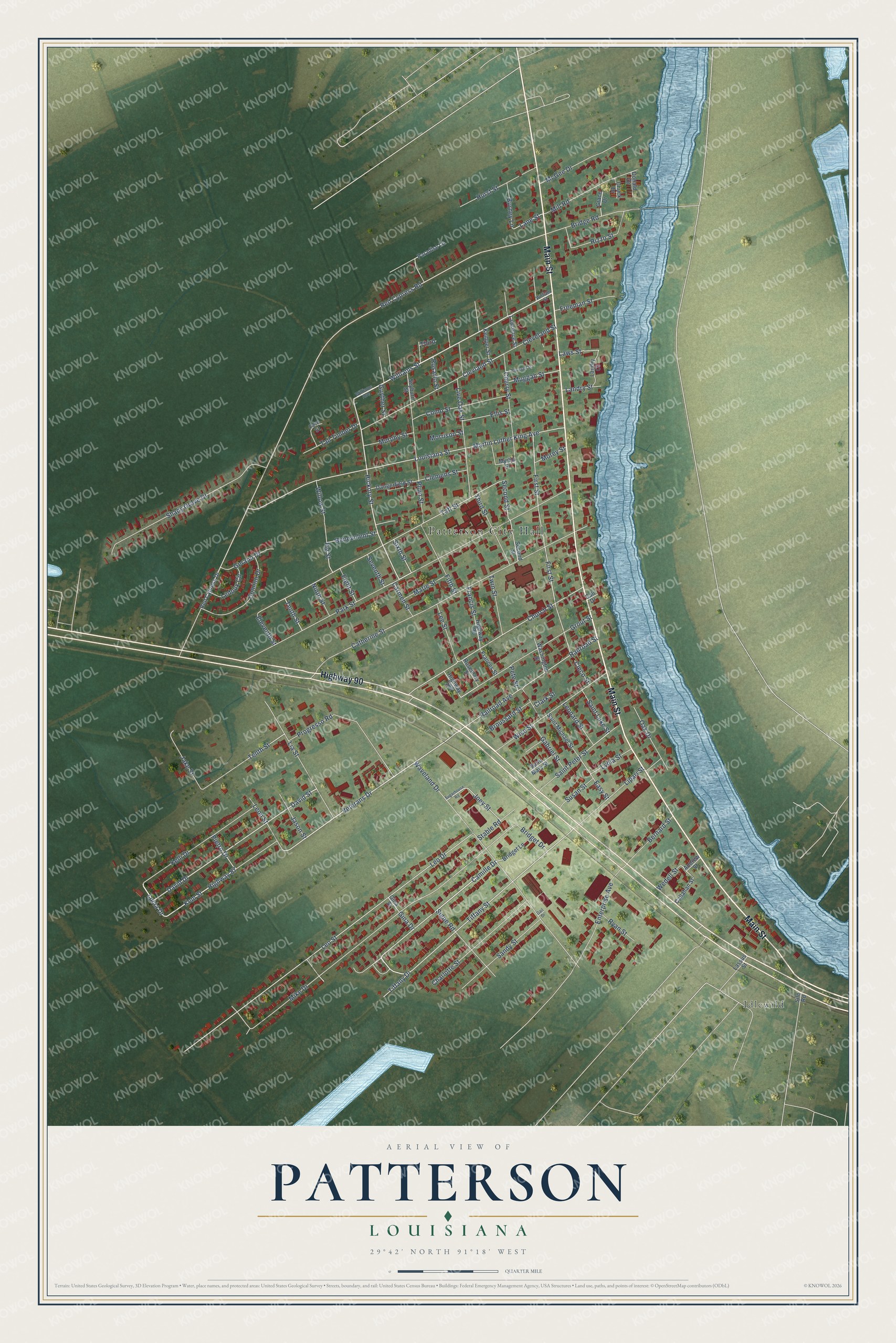
Street and place names on the Patterson, Louisiana map
These names are printed on the map of Patterson, Louisiana.
Places: Patterson City Hall and Idlewild.
Streets and roads: Highway 90, Main Street, Williams Street, Hickory Street, Veterans Drive, Lucia Drive, Highway 87, David Drive, Camille Drive, Mike Drive, Tiffany Street, Clevland Street.
More street names, A to Z
Andrew Street, Benevolent Street, Bernard Street, Bridge Road, Bridget Drive, Bridget Lane, Broussard Street, Burney Lane, Cali Drive, Callahan Street, Carmen Street, Catherine Street, Charlotte Street, Cherry Street, Chuck Drive, Church Street, Clark Street, Cleco Street, Clemens Street, Cleveland Street, Como Street, Dangerfield Street, David Street, Domino Drive, Donald Drive, Easy Street, Eight Street, Eleventh Street, Ellis Street, Enterprise Avenue, Fern Street, Fifth Street, Fig Street, First Street, Frances Street, Francis Street, Freeman Street, Gabriel Street, Gail Drive, Gerami Drive, Gina Drive, Gina Street, Grace Drive, Grout Street, Guyther Street, Highway 182, Hurst Street, Jake Street, Jason Street, Joey Street, Kelli Drive, Kemper Street, Kem Street, Landry Court, Landry Street, Lane Street, Lassus Street, Lawrence Street, Laws Street, Ledoux Circle, Lee Street, Leo Drive, Leonard Street, Leon Street, Leo Street, Lia Street, Lipari Street, Live Oak Street, Louisiana Street, Lydia Street, Marie Street, Martin Luther King Avenue, McGee Drive, Mill Road, Morey Street, Morrison Street, Muggah Street, Murphy Street, Myrtle Street, Ninth Street, Oak Drive, Paradise Lane, Park Street, Pete Street, Pietro Drive, Plum Street, Progresso Road, Railroad Avenue, Railroad Street, Red Cypress Drive, Red Cypress Road, Rizzo Street, Rosario Street, Rosemary Street, Roussell Street, Ryan Street, Saint Luke Street, Saint Mary Street, Saint Michael Street, Saint Peter Street, Sandy Street, Second Street, Seventh Street, Seyburn Street, Shady Grove Drive, Signe Road, Silo Road, Sixth Street, Stable Road, Sugarhouse Road, Susan Street, Taft Street, Tall Timber Drive, Tenth Street, Third, Third Street, Tiffany Drive, Twin Street, Washington Street, Waveland Drive, Wedell Street, Williams Avenue, William Street, Willow Street, Wise Street.
See the Patterson, Louisiana map on a wall
The Patterson map as an 18 x 24 inch print in a black frame.

This beautifully detailed map of Patterson makes an attractive addition to your office, library, or den, and it can even be used to teach children the geography and history of the area. It also makes a great gift for someone who left Patterson and still calls it home. When you’re done exploring, click here to get your copy of the Patterson map.