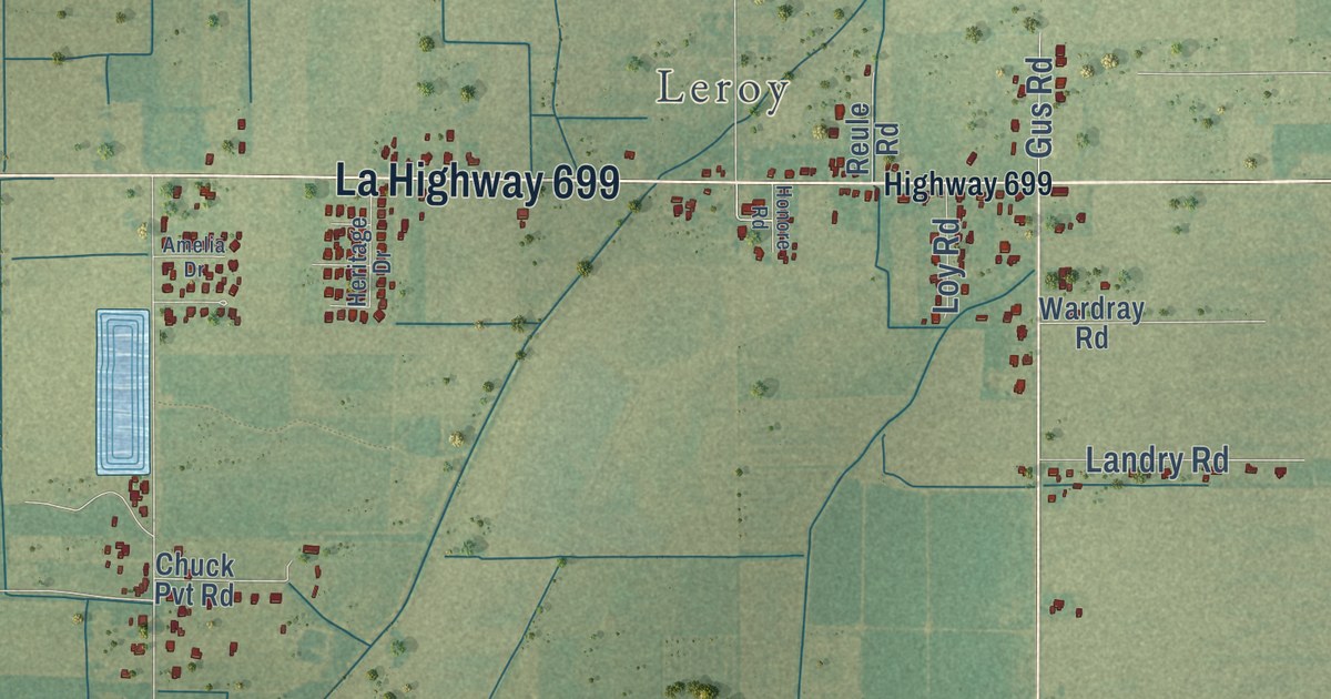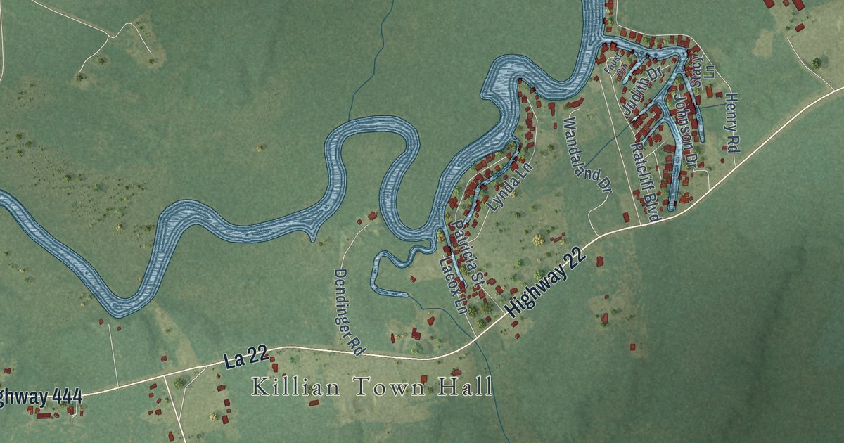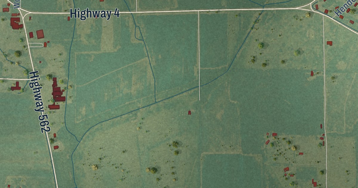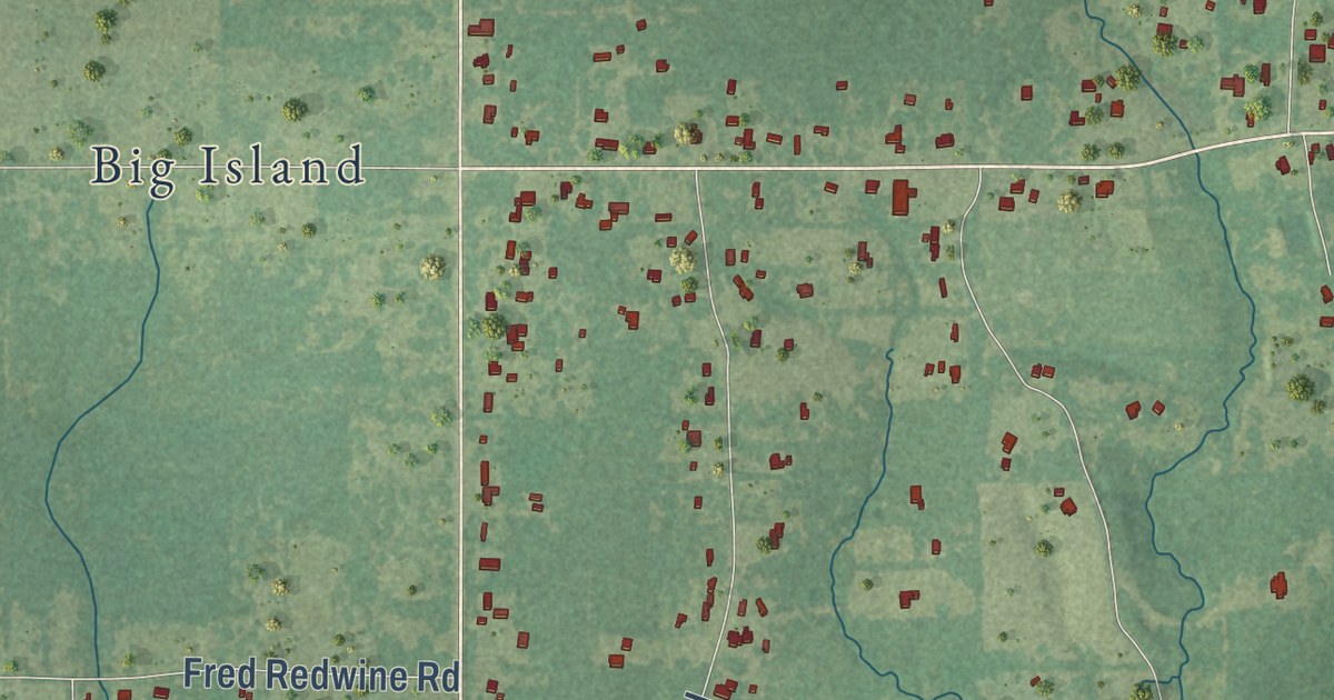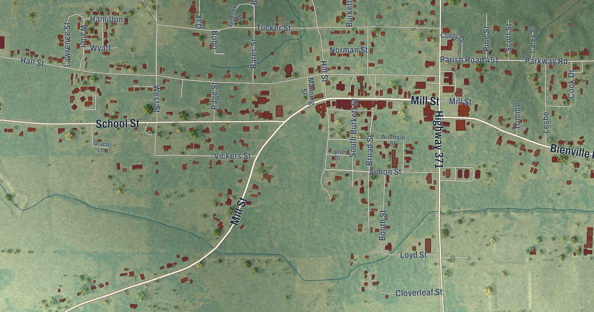
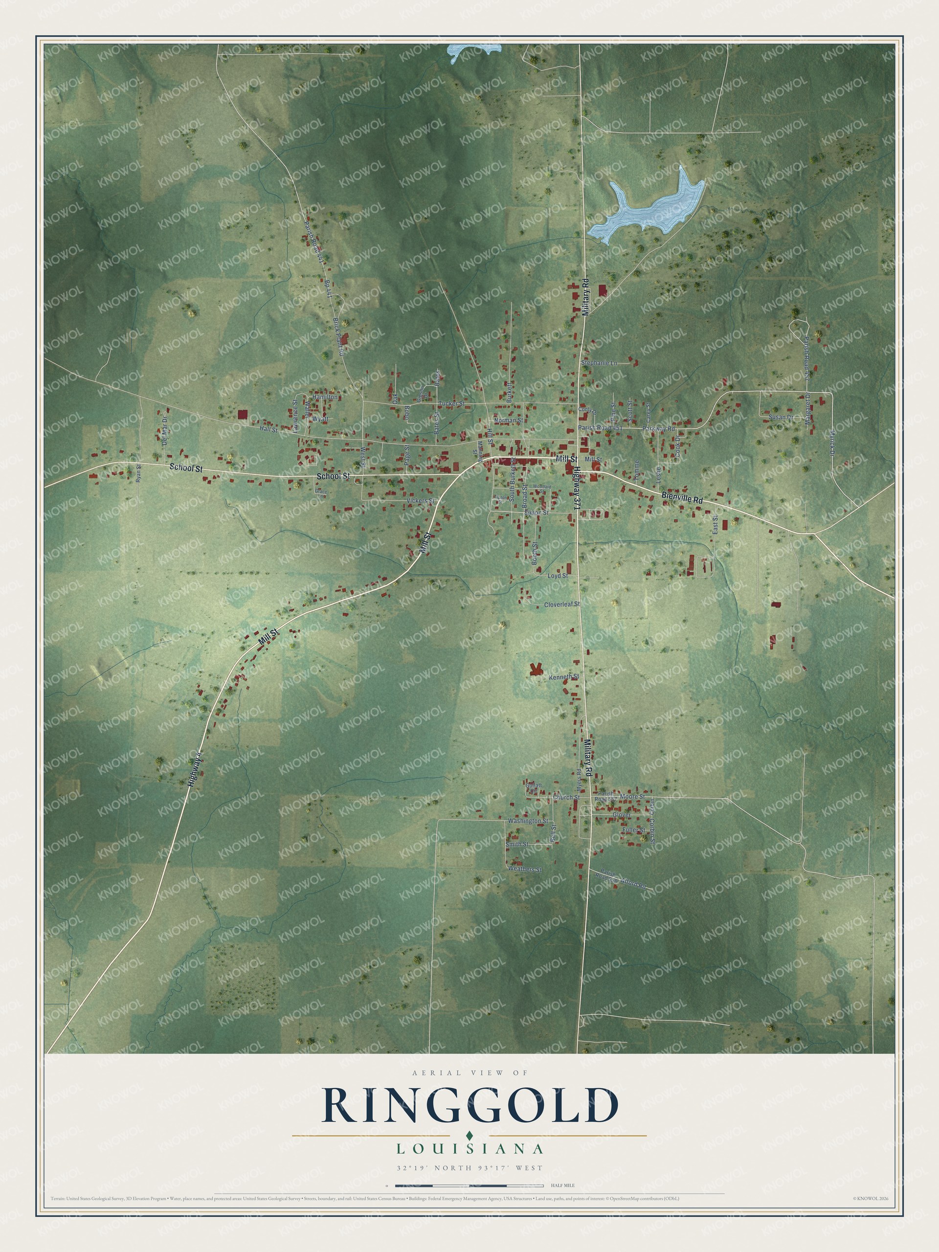
This beautifully detailed map of Ringgold, Louisiana was created in 2026 using aerial imagery combined with modern topographical, census, street and landmark data. It’s a one-of-a-kind view of Ringgold that combines accurate data with a vintage aesthetic. The map shows every building in its true location, many of the roads carry their names, and the shaded topographic relief shows the shape of the land.
Explore an aerial view of Ringgold, Louisiana
On the map you’ll find Parish Road 451, along with Mill Street, Highway 4, Highway 371, Military Road, School Street, Bienville Road, Simon Street, Broad Street, Parkway Road, Myrick Drive, Hall Street, and more. If you look closely you can even find your house accurately drawn in its correct location. Zoom in on the preview to look for yours.
Did you know this piece of Ringgold, Louisiana history?
From Genealogy Trails: "The first hotel in Ringgold was a two story structure, owned by A. J. Newsom, located on what is now the D. K. Thomas lot, it was run by a Mr. Bennett."
Take a closer look at the Ringgold map
Street names on the Ringgold, Louisiana map
These names are printed on the map of Ringgold, Louisiana.
Streets and roads: Mill Street, Highway 4, Highway 371, Military Road, School Street, Bienville Road, Simon Street, Broad Street, Parish Road 451, Parkway Road, Myrick Drive, Hall Street.
More street names, A to Z
Alford Road, Bates, Bates Street, Bell Street, Bobo, Booth Street, Bp 441, Brick Plant Road, Burkett, Carey Street, Church Street, Cloverleaf Street, Conly Drive, Cook Drive, Corbin, Corbin Street, Del Mar Drive, East Street, Fuller Street, Gipson Drive, Glover, Gollatt Circle, Grace Lane, Hamilton, Hill Street, Kenneth Street, Lawrence Street, Leshe, Loyd Street, Manning Street, Margaret Drive, Moore Street, Myers Road, Norman Street, Oak, Page Street, Parish Road 441, Parish Road 457, Parish Road 557, Parish Road 558, Pine Street, Ryan Street, Scott Street, Smith Street, South Burkett Street, Stephanie Lane, Susan Drive, Tipton Street, Tomme, Tucker Street, Vickers Street, Waller, Washington Street, Weathers Street, West Street, Woodard Street, Wyatt.
See the Ringgold, Louisiana map on a wall
The Ringgold map as an 18 x 24 inch print in a black frame.

This beautifully detailed map of Ringgold makes an attractive addition to your office, library, or den, and it can even be used to teach children the geography and history of the area. It also makes a great gift for someone who left Ringgold and still calls it home. When you’re done exploring, click here to get your copy of the Ringgold map.