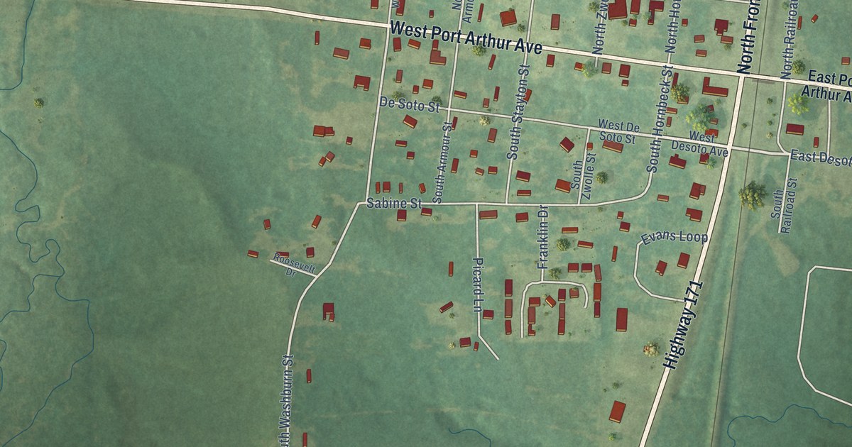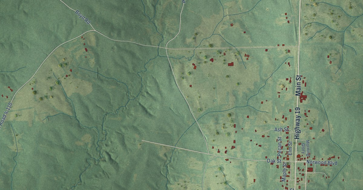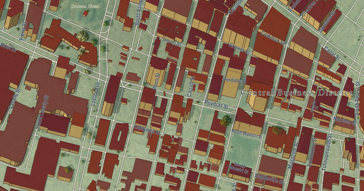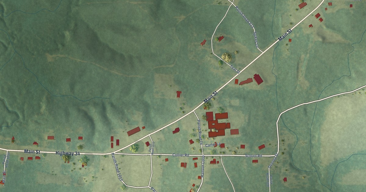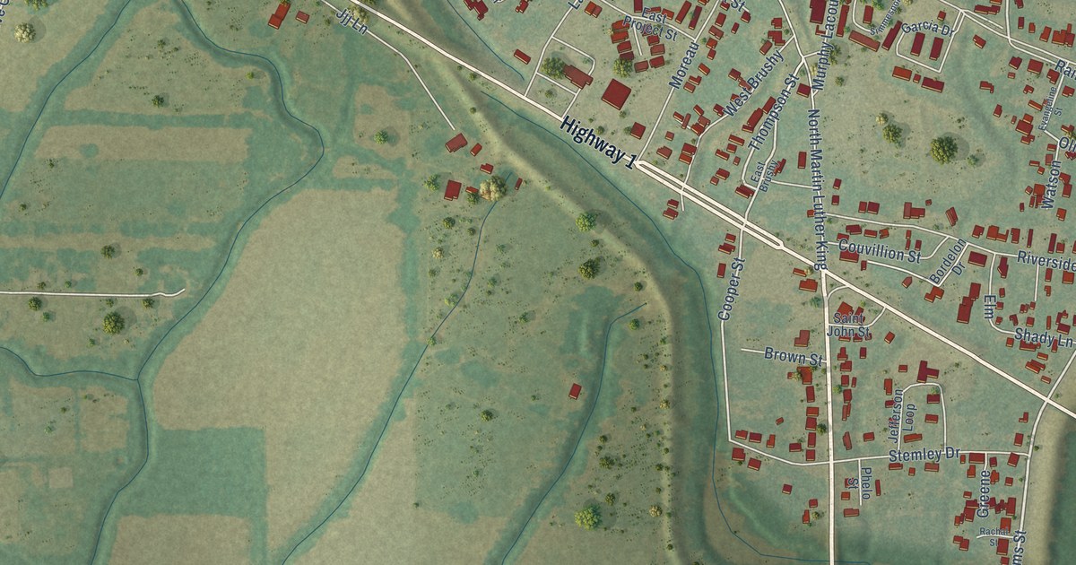
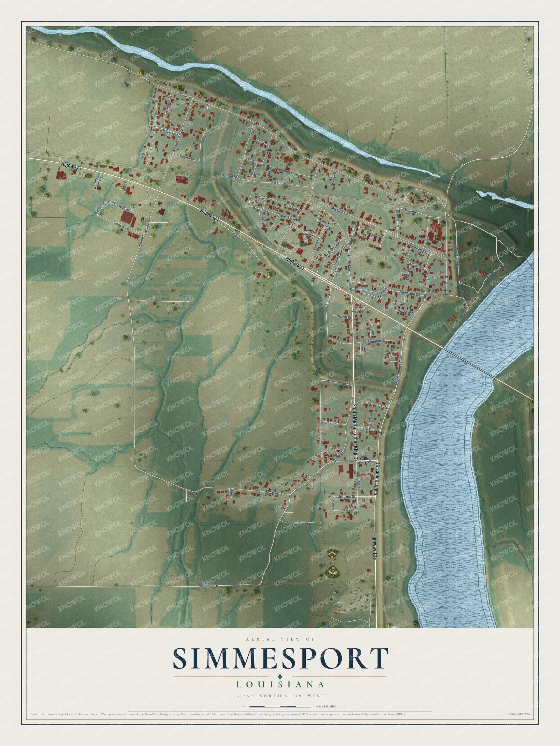
This beautifully detailed map of Simmesport, Louisiana was created in 2026 using aerial imagery combined with modern topographical, census, street and landmark data. It's a modern aerial view of Simmesport in Avoyelles Parish, Louisiana, that combines modern data with a vintage aesthetic. The roads feature printed names, and if you look closely you can find your exact house accurately shown in its correct location.
Explore an aerial view of Simmesport, Louisiana
On this map you'll find South Simms Street, South Martin Luther King Drive, Highway 1, Highway 105, Joffrion Street, Fisherman Drive, Hillside, College Drive, North Simms Street, Ehrhardt Street, Thompson Street, Cooper Street, and more. Each red shape is a building, so zoom in on the preview and look for yours.
Every town has a first chapter, and Simmesport is no exception. The Century Historical Association puts it this way: "Simmesport, a town in the eastern part of Avoyelles parish, is on the Atchafalaya river and is a station on the Texas & Pacific R. R. It is one of the shipping towns of the eastern part of the parish, has a money order postoffice, telegraph and express offices, and large quantities of cotton are exported from Simmesport every year."
Simmesport is a town in Avoyelles Parish. The Census Bureau counted 1,468 people here in 2020.
Take a closer look at the Simmesport map
Names on this map
These names are printed on this map.
Streets and roads: South Simms Street, South Martin Luther King Drive, Highway 1, Highway 105, Joffrion Street, Fisherman Drive, Hillside, College Drive, North Simms Street, Ehrhardt Street, Thompson Street, Cooper Street.
More street names, A to Z
Abbie 's Lane, Belmont Street, Bernard Plaza, Bordelon Drive, Branch Street, Brown Street, Charles Circle, Charles Drive, Charles Lane, Clark Street, Clover Street, Couvillion Street, Dugas Street, East Brushy, East Project Street, Elm, Evangeline Street, Flower Street, Garcia Drive, Garden Drive, Greene, Holloway Boulevard, Industrial Drive, Jefferson Loop, Jjj Lane, John Rusk Road, Juneau Road, Kermit Street, Kirkwood, Laurel Street, Lawrence Street, Lincoln Street, Magnolia Place, Magnolia Street, Main Street, Mission Drive, Moreau, Murphy Lacour Drive, Myrtle Drive, North Live Oak Street, North Martin Luther King, Norwood Street, Olive Street, Orchid Street, Pecan Street, Phelo Street, Plauche Drive, Rachal Street, Railroad Avenue, Riche Lane, Riverfront Drive, Riverside Drive, Ryland Street, Saint John Street, Shady Lane, Simmesport Square, South Carver Street, South Live Oak Street, Stemley Drive, Sycamore Street, Tibbs Boulevard, Treatment Street, Union Street, Vic Maddie Street, Washington Street, Watson, West Brushy, West Project, Yvette Street.
Created by KNOWOL in 2026. The buildings are small red shapes, the roads carry their printed names, and shaded relief shows the shape of the land. The title panel reads "AERIAL VIEW OF SIMMESPORT LOUISIANA" with 30°59' NORTH 91°49' WEST.
Hang it in the hallway, the office or the cabin, or give it to someone who left Simmesport and still calls it home. Open the preview and look for a street you know. See sizes and frames for the Simmesport map.