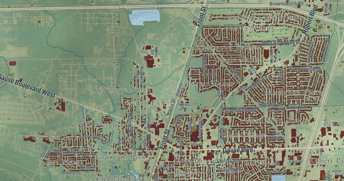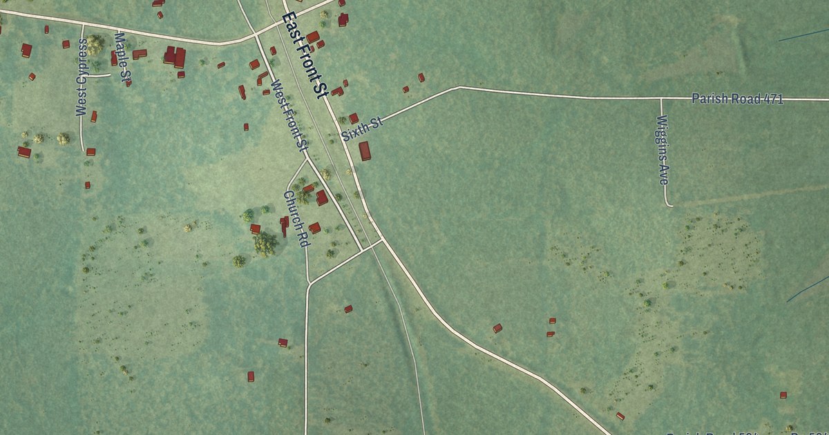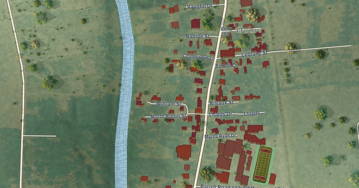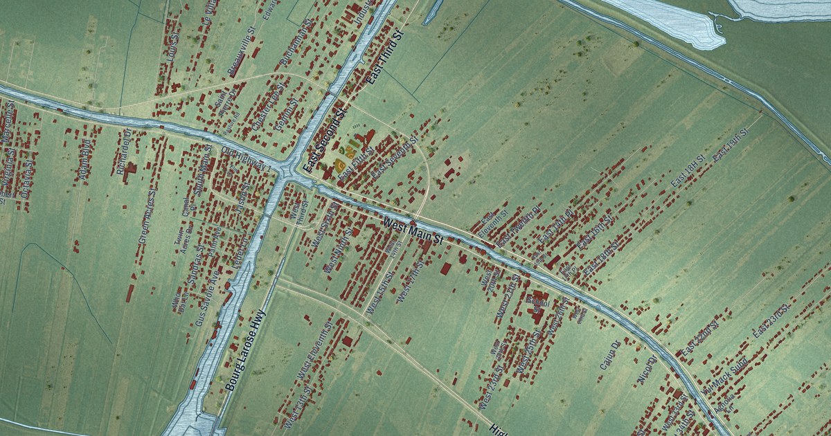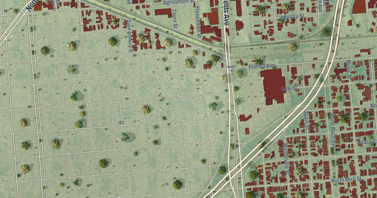
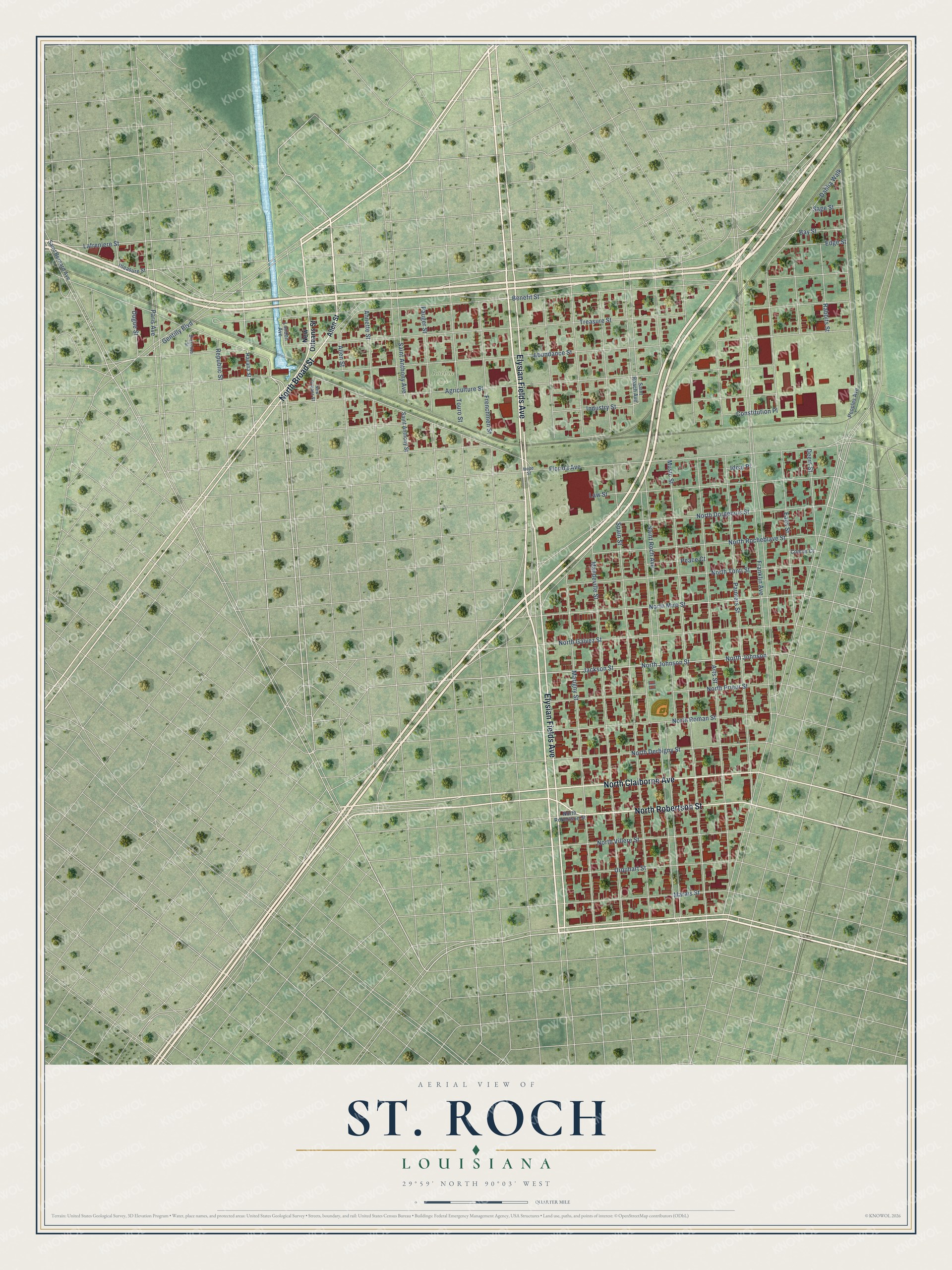
This beautifully detailed map of St. Roch, Louisiana was created in 2026 using aerial imagery combined with modern topographical, census, street and landmark data. It's a modern aerial view of St. Roch in Orleans Parish, Louisiana, that combines modern data with a vintage aesthetic. The roads feature printed names, and if you look closely you can find your exact house accurately shown in its correct location.
Explore an aerial view of St. Roch, Louisiana
On this map you'll find Roehm Park, Elysian Fields Avenue, North Claiborne Avenue, North Robertson Street, North Broad Street, Abundance Street, Lafreniere Street, North Miro Street, Jackson Street, Eads Street, Saint Roch Avenue, Franklin Avenue, and more. Each red shape is a building, so zoom in on the preview and look for yours.
St. Roch is a neighborhood in Orleans Parish. The map prints the town name in its title panel, with the coordinates below it.
Take a closer look at the St. Roch map
Names on this map
These names are printed on this map.
Places: Roehm Park.
Streets and roads: Elysian Fields Avenue, North Claiborne Avenue, North Robertson Street, North Broad Street, Abundance Street, Lafreniere Street, North Miro Street, Jackson Street, Eads Street, Saint Roch Avenue, Franklin Avenue, Florida Avenue.
More street names, A to Z
Agriculture Street, Allen Street, Annette Street, Arts Street, Bay Street, Benefit Street, Bruxelles Street, Comus Court, Constitution Place, Dahlia Walk, Deers Street, Dugue Street, Edge Street, Frenchmen Street, Gentilly Boulevard, Havana Street, Hope Street, Ideal Place, Industry Street, Law Street, London Avenue, Mandeville Street, Marais Street, Marigny Street, Music Street, New Orleans Street, North Derbigny Street, North Dorgenois Street, North Galvez Street, North Johnson, North Johnson Street, North Prieur Street, North Rocheblave Street, North Roman Street, North Tonti Street, North Villere Street, Painters Street, Paris Avenue, Pauger Street, Peace Court, Peoples Avenue, Pleasure Street, Rabbits Street, Republic Street, Sage Street, Saint Anthony Avenue, Saint Anthony Street, Saint Bernard Avenue, Saint Roach Avenue, Spain Street, Touro Street, Treasure Street, Urquhart Street.
Created by KNOWOL in 2026. The buildings are small red shapes, the roads carry their printed names, and shaded relief shows the shape of the land. The title panel reads "AERIAL VIEW OF ST. ROCH LOUISIANA" with 29°59' NORTH 90°03' WEST.
Hang it in the hallway, the office or the cabin, or give it to someone who left St. Roch and still calls it home. Open the preview and look for a street you know. See sizes and frames for the St. Roch map.