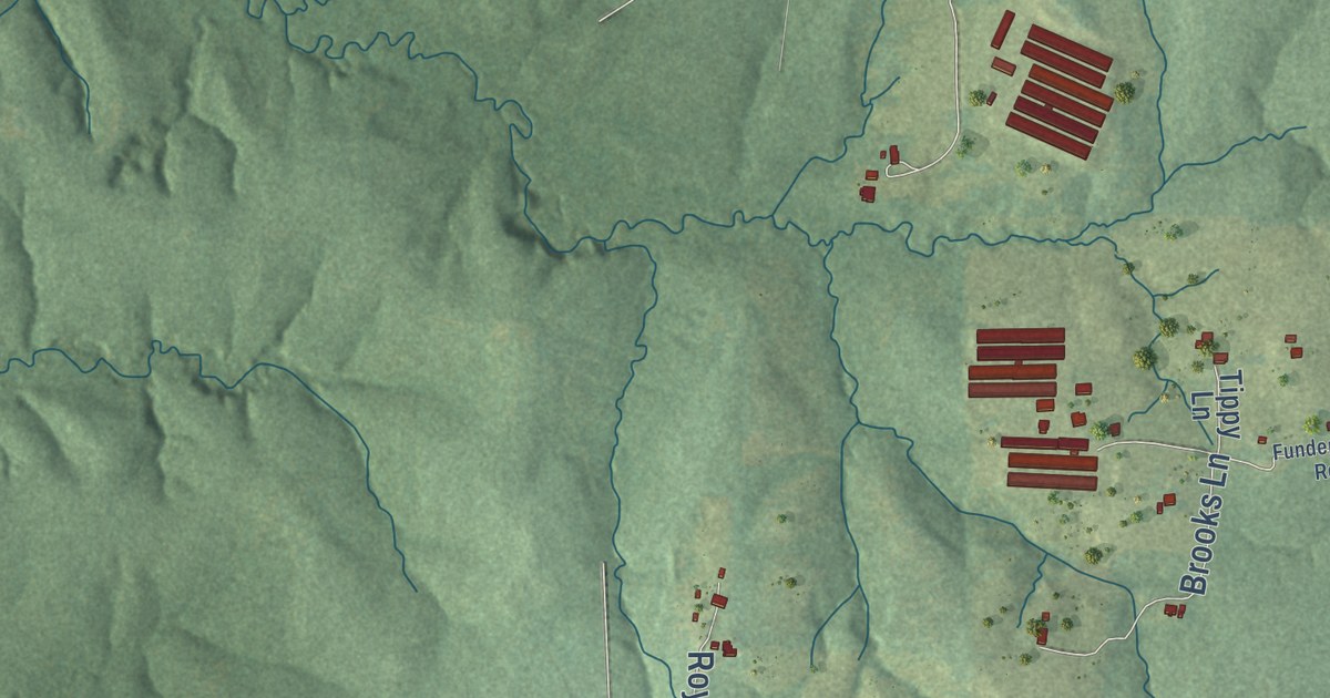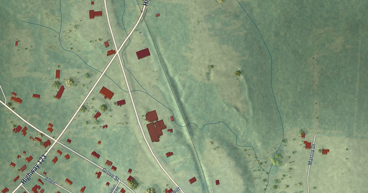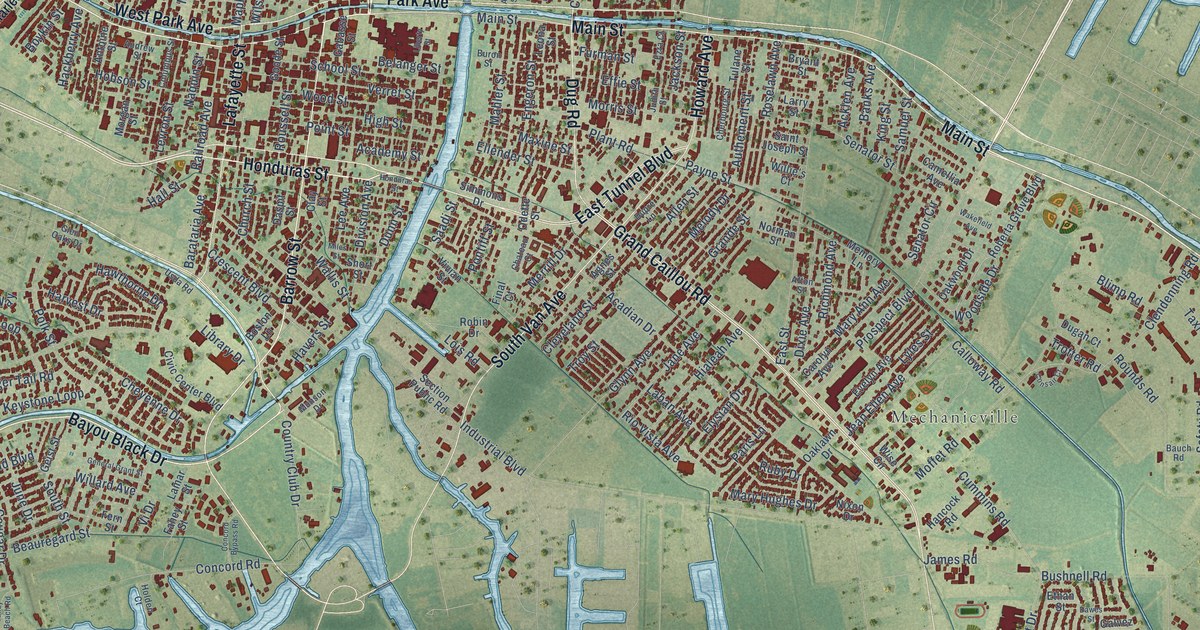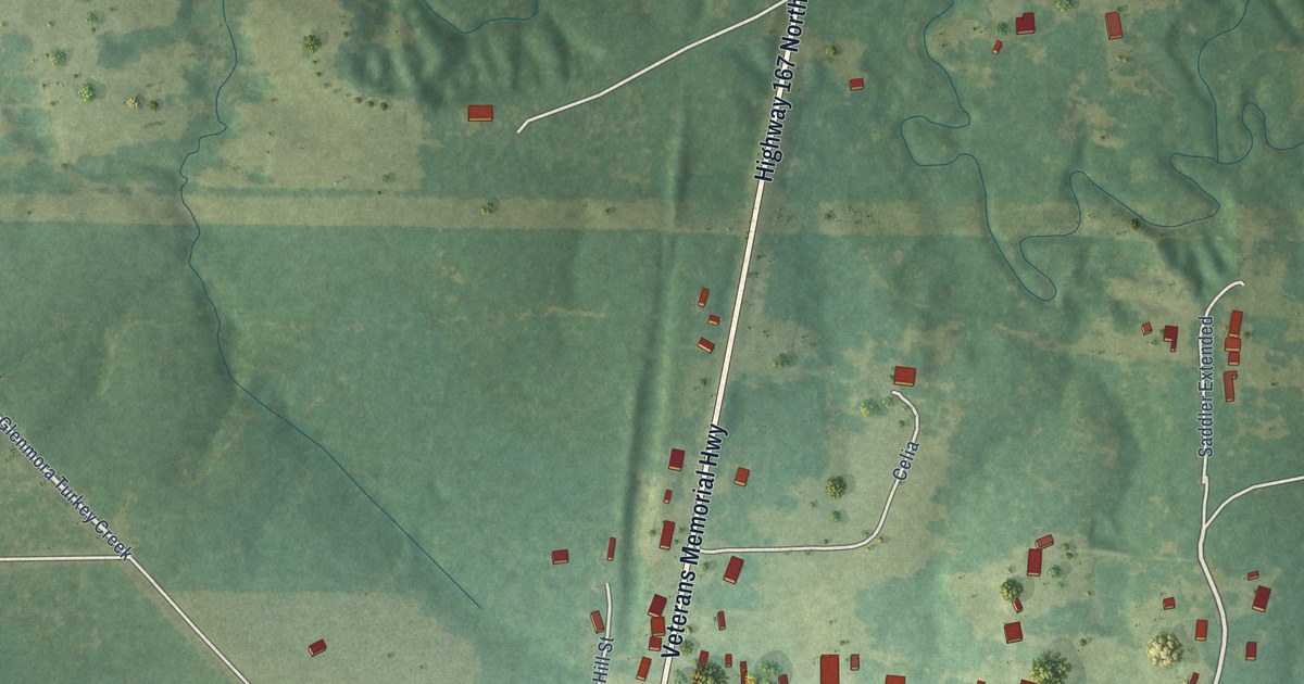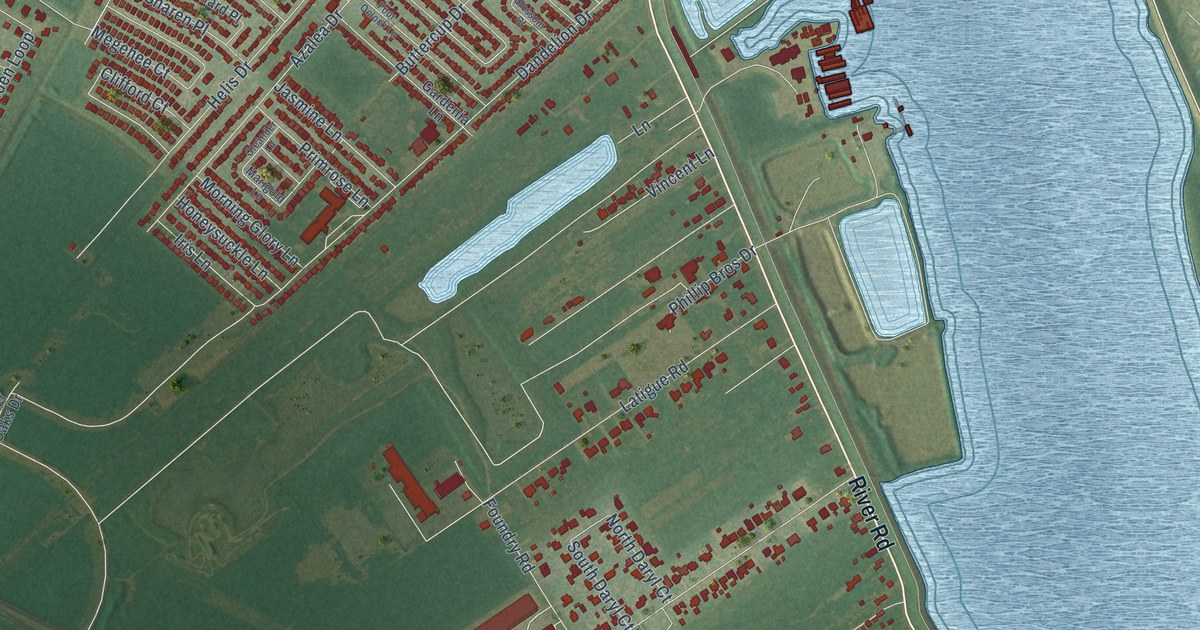
This beautifully detailed map of Waggaman, Louisiana was created in 2026 using aerial imagery combined with modern topographical, census, street and landmark data. It’s a one-of-a-kind view of Waggaman that combines accurate data with a vintage aesthetic. The map shows every building in its true location, many of the roads carry their names, and the shaded topographic relief shows the shape of the land.
Explore an aerial view of Waggaman, Louisiana
On the map you’ll find Kennedy Heights, Live Oak Manor, and Willswood, along with River Road, Highway 90 West, Gambino Road, North Kelly Lane, Live Oak Boulevard, South Kenner Avenue, Rivet Boulevard, Dandelion Drive, Azalea Drive, and more. If you look closely you can even find your house accurately drawn in its correct location. Zoom in on the preview to look for yours.
Did you know this piece of Waggaman, Louisiana history?
From the Key to the City: "The area was named for U.S. Senator George Augustus Waggaman (1782-1843) who settled in the area with his wife, Camille Arnoult, who inherited a large tract of land there."
Take a closer look at the Waggaman map
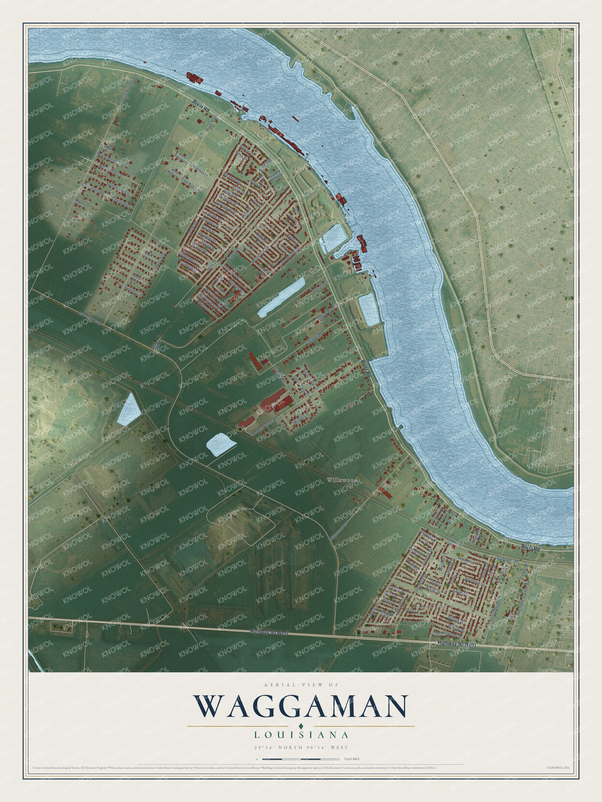
Street and place names on the Waggaman, Louisiana map
These names are printed on the map of Waggaman, Louisiana.
Places: Kennedy Heights, Live Oak Manor and Willswood.
Streets and roads: River Road, Highway 90 West, Gambino Road, North Kelly Lane, Live Oak Boulevard, South Kenner Avenue, Rivet Boulevard, Dandelion Drive, Azalea Drive, Jeffer Drive, Modern Farms Road, Helis Drive.
More street names, A to Z
Acadia Drive, Ambassador Drive, Aster Lane, Avondale Garden Road, Bishop Drive, Black Cherry Lane, Blair Drive, Blossom Court, Butler Drive, Buttercup Drive, Capitol Drive, Center Street, Chapel Lane, Chenevert, Chenevert Road, Church Street, Clifford Court, Coretta Drive, Cynthia Street, Daffodil Lane, Davenport Street, Deacon Street, Defourneau Lane, Delegate Drive, Della Lane, Deweese Street, Dexter Drive, Dillard Drive, District Drive, Dolores Drive, Dome Drive, Duffy Street, East Kori Lane, East Velvet Lane, Federal Drive, Foundry Road, Four Oclock Lane, Fourth Street, Gambino Street, Gardenia Lane, George Street, Glendella Drive, Goldenrod Lane, Halle Place, Herman Street, Honeysuckle Lane, Imogene Street, Iris Lane, Jasmine Lane, Jay Place, Jean Street, Judith Street, Lane, Lanyon Lane, Larkspur Lane, Latigue Road, Laurel Oak Lane, Layman Street, Linden Loop, Live Oak Manor Drive, Lucille Street, Manor Lane, Marigold Lane, Megehee Court, Mission Court, Mitchell Street, Morning Glory Lane, North Daryl Court, Oleander Lane, Petunia Court, Phillip Bros Drive, Prairieview Court, Priest Street, Primrose Lane, Reynolds Drive, Reynolds Street, Richelle Street, Robert Drive, Rosa Street, Roux Lane, Sarah Street, Savoie Place, Senate Drive, Sharen Place, South Daryl Court, South Dexter Drive, Southern Court, South Kelly Lane, Sweetbay Lane, Third Street, Travis Drive, Treasury Drive, Vincent Lane, Waggaman Drive, Water Oaks Drive, West Kori Lane, West Velvet Lane, Willard Place, Willswood Lane, Winifred Street, Xavier Drive.
See the Waggaman, Louisiana map on a wall
The Waggaman map as an 18 x 24 inch print in a black frame.

This beautifully detailed map of Waggaman makes an attractive addition to your office, library, or den, and it can even be used to teach children the geography and history of the area. It also makes a great gift for someone who left Waggaman and still calls it home. When you’re done exploring, click here to get your copy of the Waggaman map.